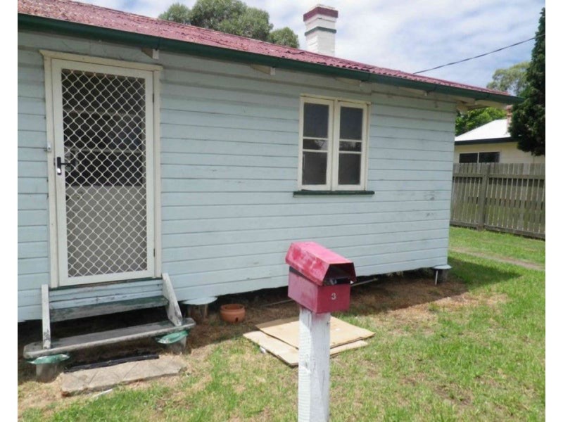
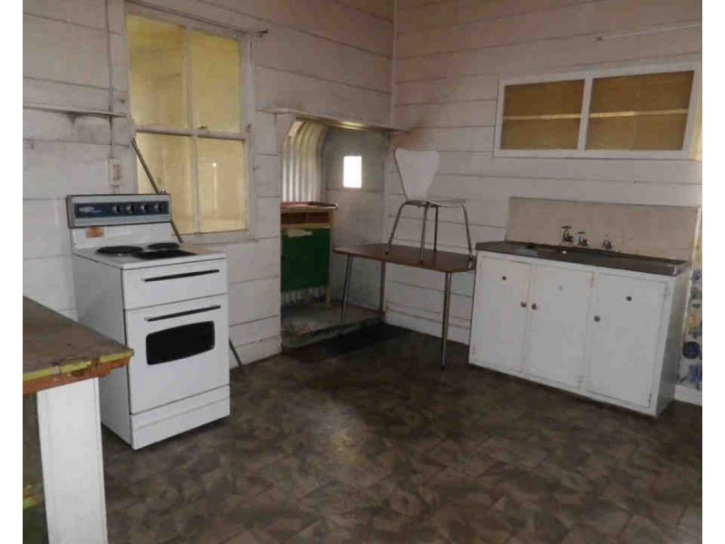
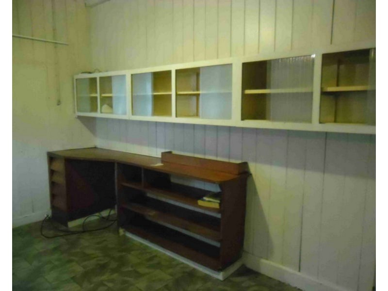
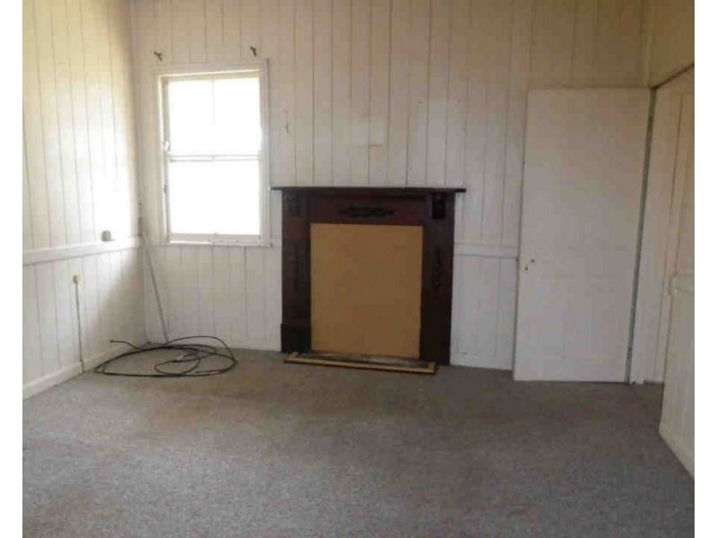
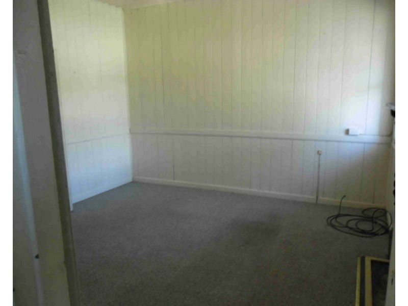
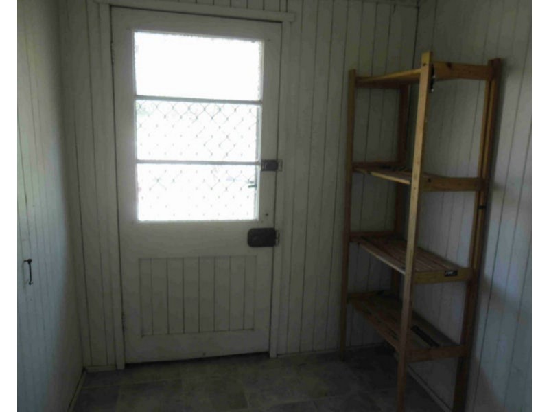
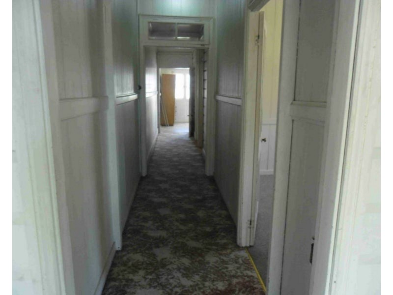
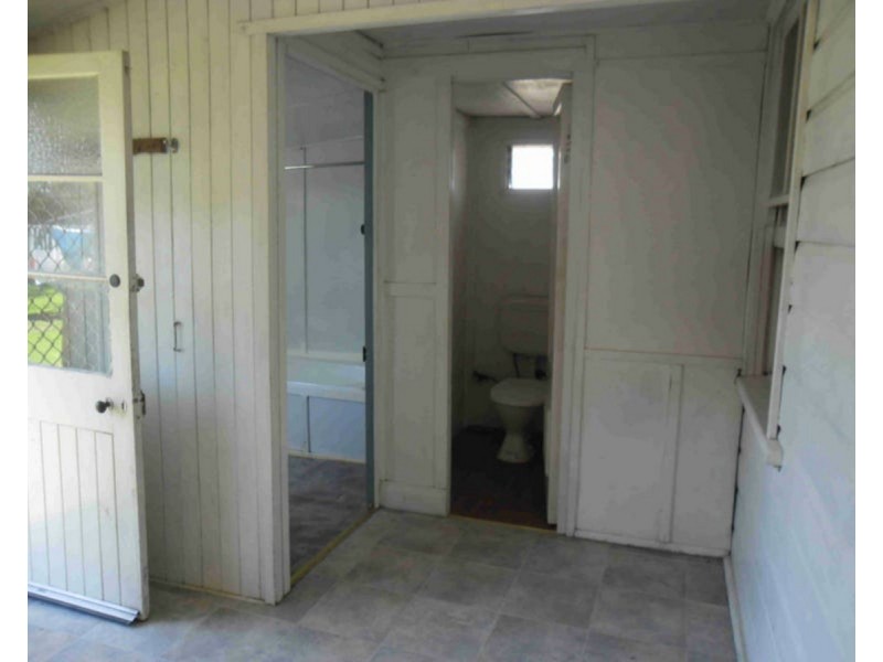
There are approximately 17,238 people living in Warwick but… who are they?
40
48%
52%
Suburb Stats
$884/WK
$215/WK
$325/WK
Value of property in Warwick and nearby suburbs
Warwick
Tingoora
Gleneagle
Hazeldean
Average Home Price$314,784Average Rental Price$252Household Size2.5
Average Home Price$181,838Average Rental Price$235Household Size2.4
Average Home Price$435,252Average Rental Price$355Household Size2.8
Average Home Price$505,857Average Rental Price$461Household Size2.5
Water Useper year per person
0.62mln. litres
State Average 0.68 mln. litres
Nat. Average 0.74 mln. litres
Greenhouse Pollutionper year per person
17.3tonnes
State Average 18.38 tonnes
Nat. Average 20.3 tonnes
Dwelling Types
91%
6%
2%
Most Common Suburb Professions
16% Labourers…
14% Technicia…
13% Managers…
12% Clerical…
Nearby shopping: village shopping centre, rose city shopping world centre management
Nearby schools: warwick christian college, glennie heights preschool, glennie heights state school, warwick state high school
Nearby cafes: the cherry tree coffee & dining, char-belas restaurant, brysons place
Nearby doctors: condamine medical centre - dr ross hetherington, condamine medical centre - dr louise clarke, condamine medical centre - dr evan ackermann, dr toby cohen
Nearby hospitals: condamine medical centre, southern downs district health services
Nearby cinemas: warwick twin cinema
Nearby pharmacies: warwick friendly society pharmacy, discount drug store, warwick friendly society pharmacies, john duggan amcal chemist
Nearby police stations: warwick police station
Nearby parks: warwick bowling club inc, leslie park, australiana park, kahlers oasis caravan park
Nearby restaurants: mussel's restaurant, mango camping, char-belas restaurant, the cherry tree coffee & dining