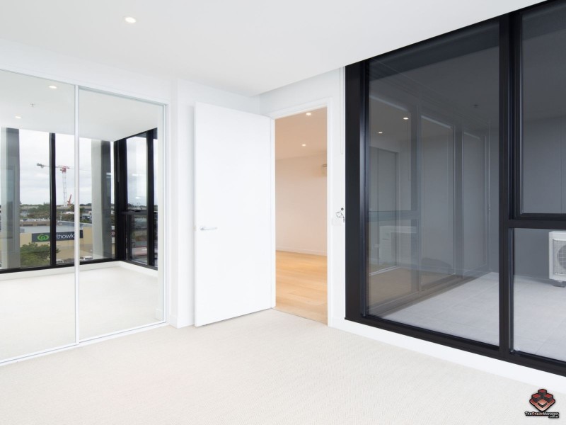
There are approximately 29,553 people living in Carnegie but… who are they?
34
49%
51%
Suburb Stats
$1287/WK
$300/WK
$500/WK
Value of property in Carnegie and nearby suburbs
Carnegie
Balwyn
Blackburn South
Templestowe
Average Home Price$584,297Average Rental Price$384Household Size2.3
Average Home Price$1,268,640Average Rental Price$511Household Size2.6
Average Home Price$742,589Average Rental Price$396Household Size2.6
Average Home Price$1,094,642Average Rental Price$531Household Size3
Water Useper year per person
0.91mln. litres
State Average 0.75 mln. litres
Nat. Average 0.74 mln. litres
Greenhouse Pollutionper year per person
24.05tonnes
State Average 19.73 tonnes
Nat. Average 20.3 tonnes
Dwelling Types
58%
41%
1%
Most Common Suburb Professions
33% Professio…
16% Clerical…
13% Managers…
10% Technicia…
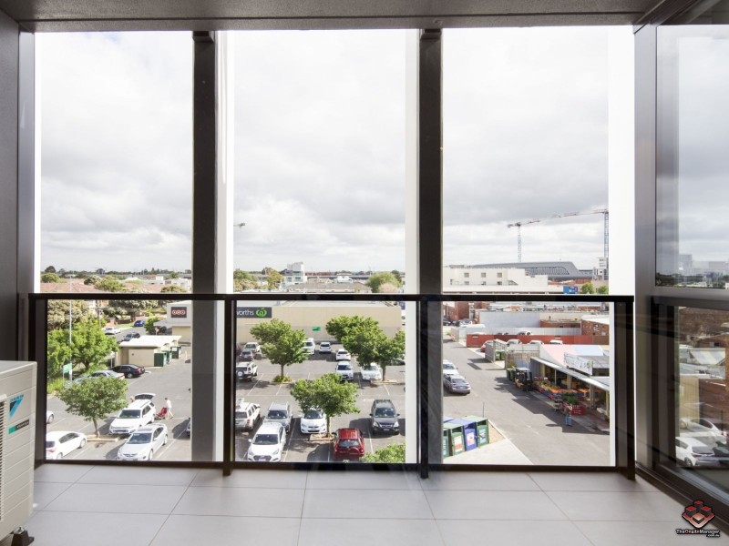
Nearby train station: carnegie station
Nearby shopping: caulfield village, scooter hut
Nearby schools: martial mix, australian academy of dance, murrumbeena primary school, holy eucharist primary school
Nearby cafes: cafe del mar, simba'r & trends hair & beauty, the servery east, mamaduke
Nearby doctors: carnegie & malvern medical centre, dr danny lamm, ross smith physiotherapist, chadstone road clinic
Nearby hospitals: carnegie central medical clinic, carnegie medical centre, carnegie children's multi-purpose centre, melbourne equine veterinary group
Nearby cinemas: malvern theatre co.
Nearby pharmacies: caulfield plaza pharmacy, hurstbridge pharmacy, pharmasave carnegie pharmacy, alan kestenberg soul pattinson pharmacy
Nearby police stations: murrumbeena police station