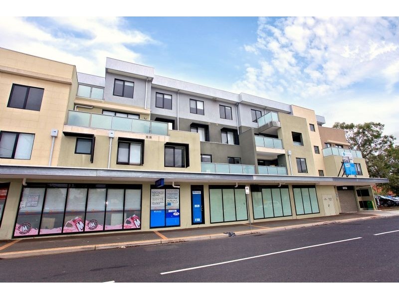
There are approximately 29,553 people living in Carnegie but… who are they?
34
49%
51%
Suburb Stats
$1287/WK
$300/WK
$500/WK
Value of property in Carnegie and nearby suburbs
Carnegie
Kew
Toorak
Templestowe
Average Home Price$584,297Average Rental Price$384Household Size2.3
Average Home Price$1,056,014Average Rental Price$501Household Size2.6
Average Home Price$932,789Average Rental Price$518Household Size2.2
Average Home Price$1,094,642Average Rental Price$531Household Size3
Water Useper year per person
0.91mln. litres
State Average 0.75 mln. litres
Nat. Average 0.74 mln. litres
Greenhouse Pollutionper year per person
24.05tonnes
State Average 19.73 tonnes
Nat. Average 20.3 tonnes
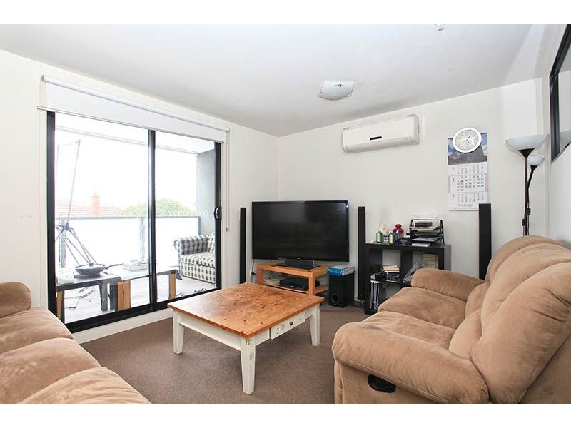
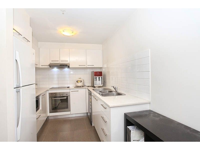
Dwelling Types
58%
41%
1%
Most Common Suburb Professions
33% Professio…
16% Clerical…
13% Managers…
10% Technicia…
Nearby train station: carnegie station
Nearby shopping: scooter hut, caulfield village
Nearby schools: martial mix, glittery tapping wonderland, australian academy of dance, st mary's catholic primary school
Nearby cafes: the servery east, cafe del mar, mamaduke, simba'r & trends hair & beauty
Nearby doctors: north caulfield family dentists, duldig + russo optometry, carnegie & malvern medical centre, north caulfield family dentists - dr.lew henry r
Nearby hospitals: carnegie medical centre, melbourne equine veterinary group, carnegie central medical clinic, carnegie children's multi-purpose centre
Nearby cinemas: malvern theatre co.
Nearby pharmacies: pharmasave carnegie pharmacy, caulfield plaza pharmacy, community pharmacy glen huntly, charles pharmacy
Nearby police stations: murrumbeena police station
Nearby parks: gardeners touch, outer circle linear park, springthorpe gardens, riley reserve
Nearby restaurants: korean bbq restaurant, zagame's caulfield hotel, bootleg liquor cellars, gryph inn bar & bistro
Nearby gym: re-creation health clubs, south pacific health club, pivotal health and fitness, re-creation health clubs