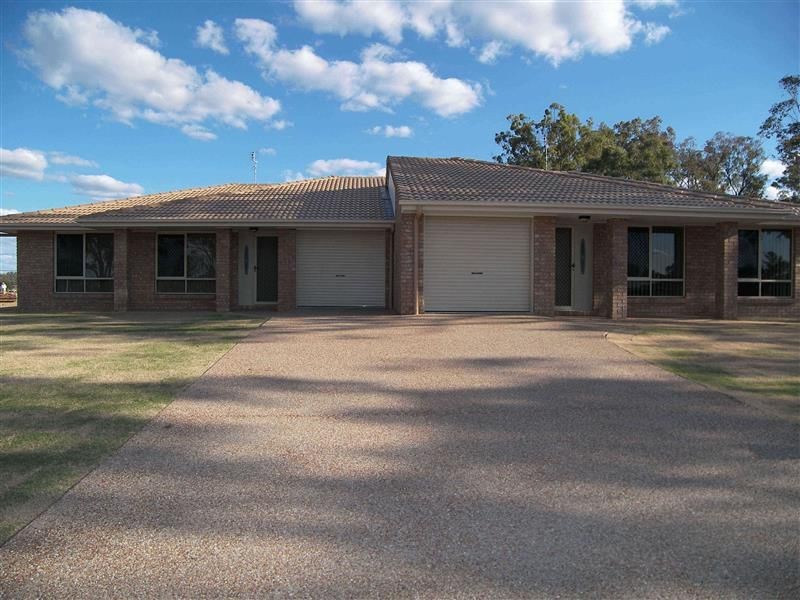
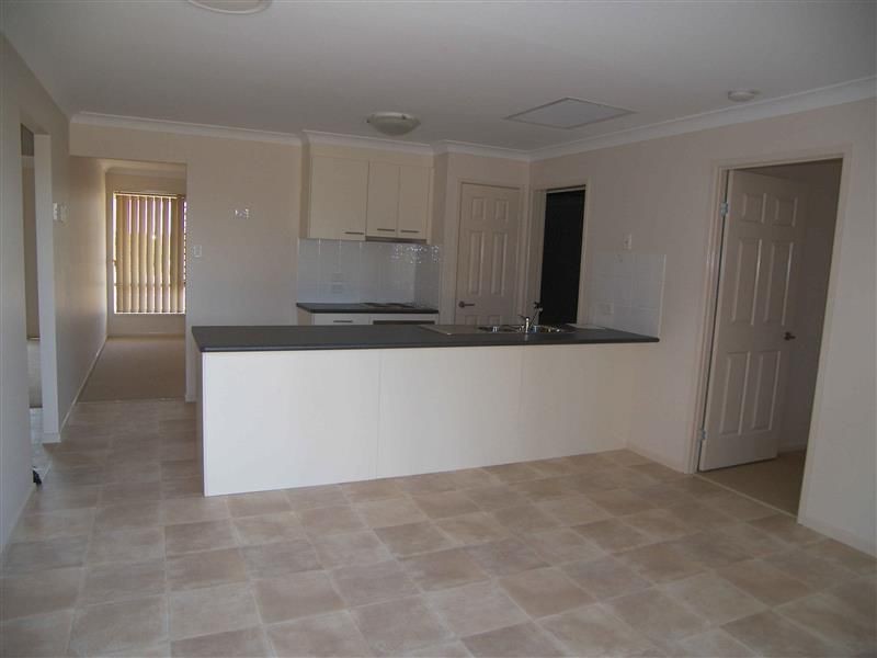
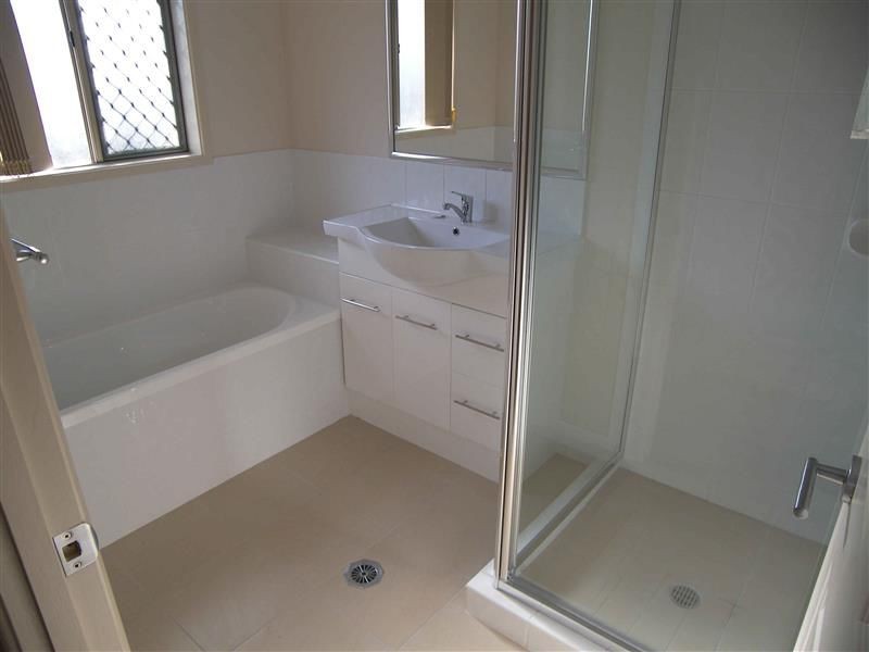
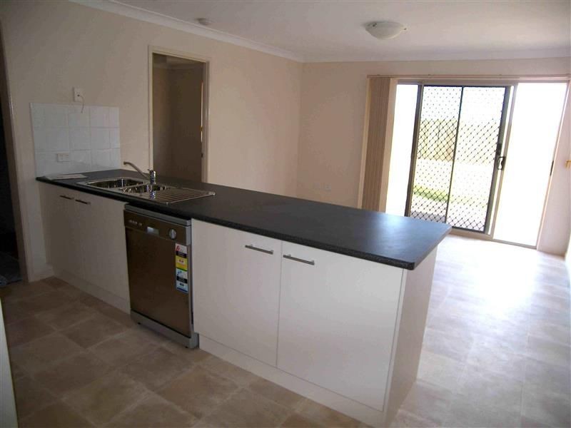
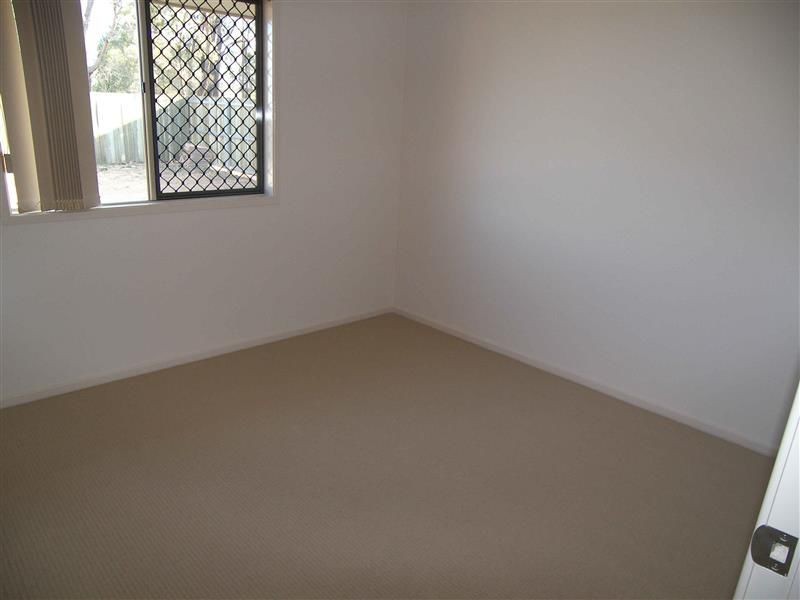
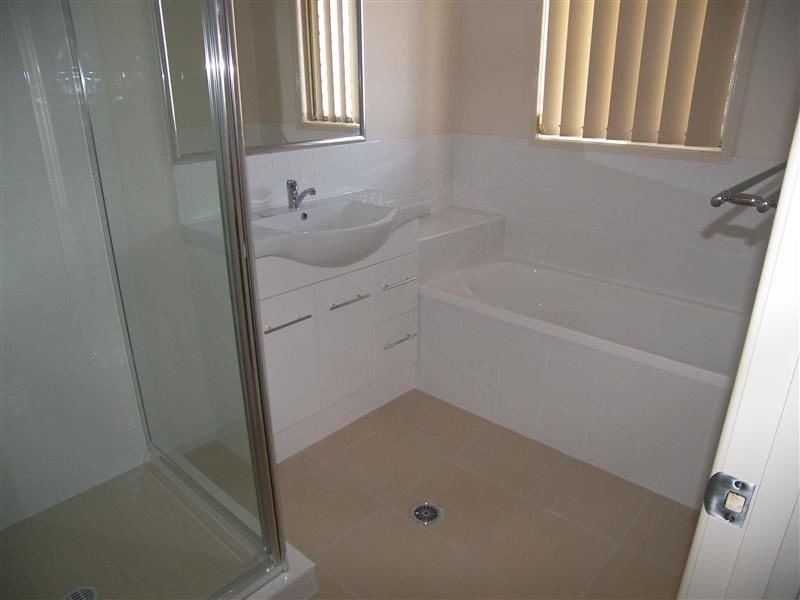
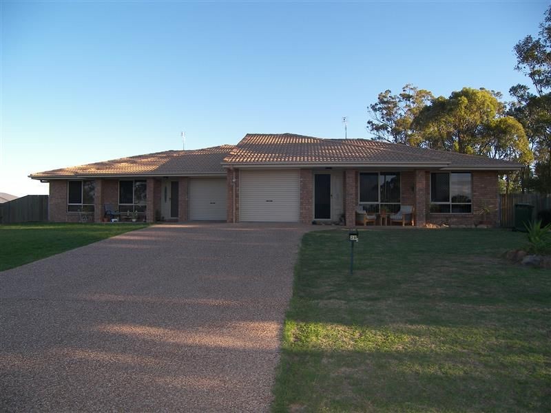
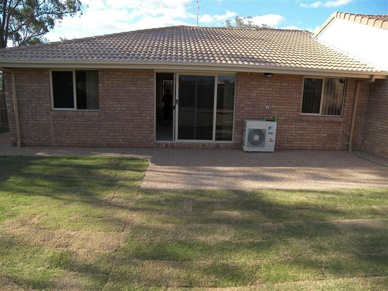
There are approximately 17,238 people living in Warwick but… who are they?
40
48%
52%
Suburb Stats
$884/WK
$215/WK
$325/WK
Value of property in Warwick and nearby suburbs
Warwick
Upper Yarraman
Wondai
Booroobin
Average Home Price$314,784Average Rental Price$252Household Size2.5
Average Home Price$255,000Average Rental Price$239Household Size2.3
Average Home Price$241,838Average Rental Price$217Household Size2.3
Average Home Price$1,105,833Average Rental Price$335Household Size2.3
Water Useper year per person
0.62mln. litres
State Average 0.68 mln. litres
Nat. Average 0.74 mln. litres
Greenhouse Pollutionper year per person
17.3tonnes
State Average 18.38 tonnes
Nat. Average 20.3 tonnes
Dwelling Types
91%
6%
2%
Most Common Suburb Professions
16% Labourers…
14% Technicia…
13% Managers…
12% Clerical…
Nearby shopping: rose city shopping world centre management, village shopping centre
Nearby schools: glennie heights preschool, glennie heights state school, warwick christian college, warwick community kindergarten
Nearby cafes: char-belas restaurant, brysons place, the cherry tree coffee & dining
Nearby doctors: southern downs dental - dr. mike geisel, queensland vascular: dr toby cohen, guy street dental, condamine medical centre - dr ross hetherington
Nearby hospitals: southern downs district health services, condamine medical centre
Nearby cinemas: warwick twin cinema
Nearby pharmacies: discount drug store, warwick friendly society pharmacies, john duggan amcal chemist, warwick friendly society pharmacy
Nearby police stations: warwick police station
Nearby parks: tullock park, leslie park, victoria park, kahlers oasis caravan park
Nearby restaurants: char-belas restaurant, red rooster warwick rose city foodcourt, shalimar indian restaurant, the cherry tree coffee & dining