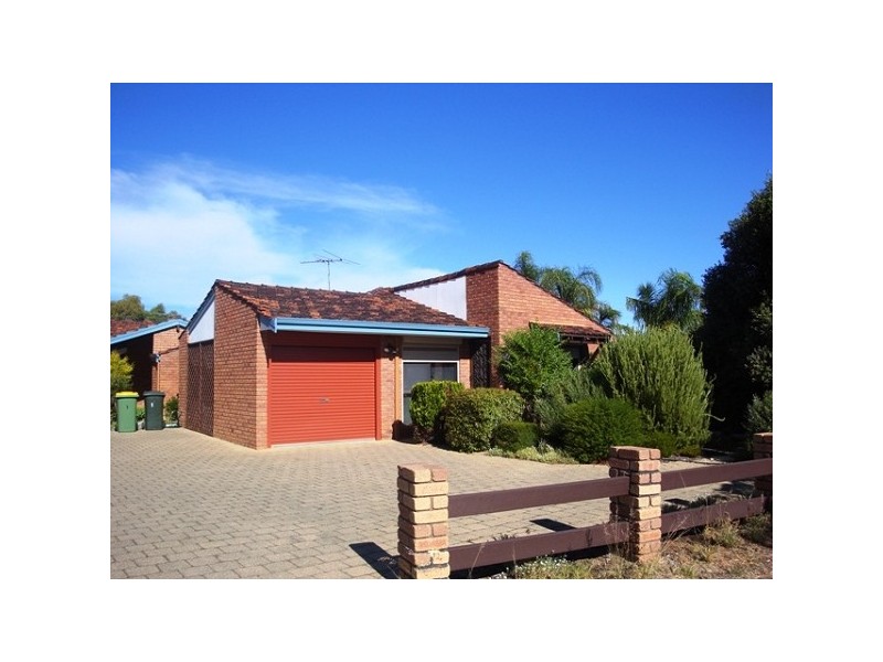
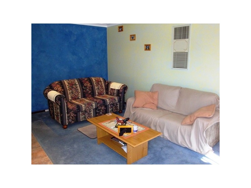
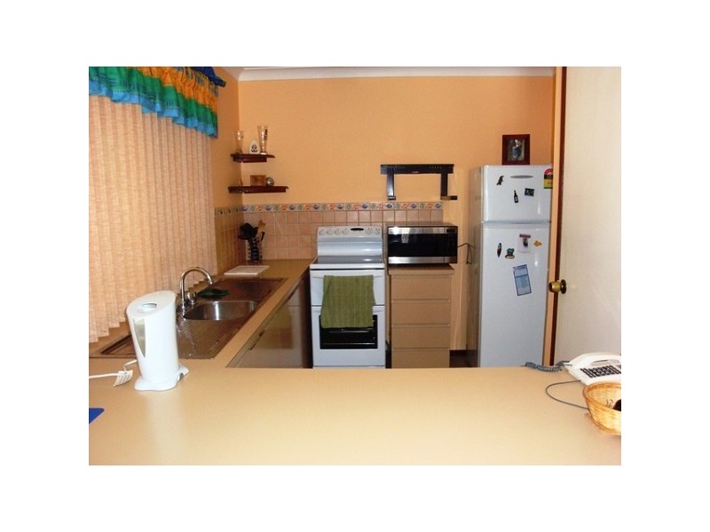
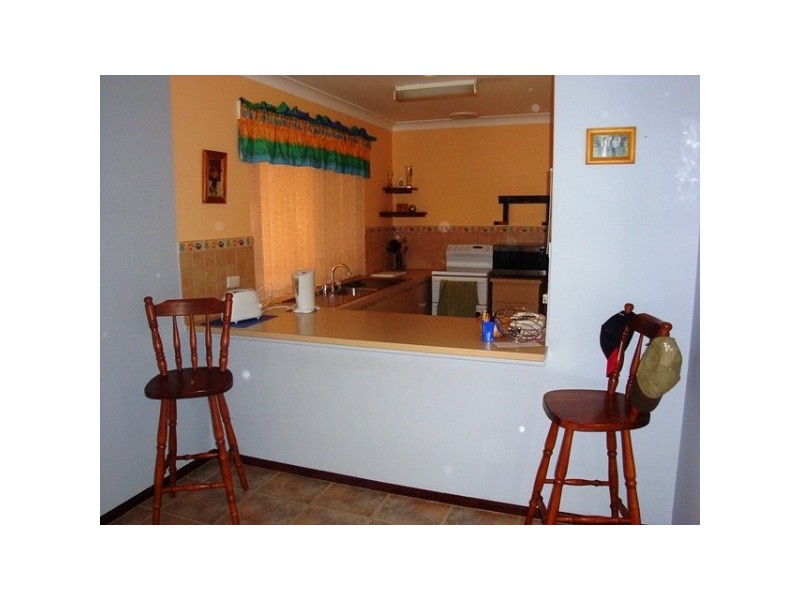
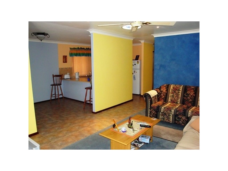
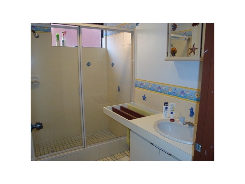
There are approximately 11,812 people living in Forrestfield but… who are they?
37
49%
51%
Suburb Stats
$1304/WK
$320/WK
$461/WK
Value of property in Forrestfield and nearby suburbs
Forrestfield
Walliston
Ridgewood
Darlington
Average Home Price$442,380Average Rental Price$373Household Size2.5
Average Home Price$581,850Average Rental Price$432Household Size2.7
Average Home Price$427,913Average Rental Price$381Household Size2.9
Average Home Price$692,458Average Rental Price$519Household Size2.7
Water Useper year per person
0.73mln. litres
State Average 0.72 mln. litres
Nat. Average 0.74 mln. litres
Greenhouse Pollutionper year per person
17.7tonnes
State Average 18 tonnes
Nat. Average 20.3 tonnes
Dwelling Types
97%
1%
3%
Most Common Suburb Professions
19% Technicia…
18% Clerical…
13% Machinery…
11% Labourers…
Nearby shopping: forrestfield forum & marketplace
Nearby schools: ju-jitsu tora kempo kai, dawson park primary school, schools government, woodlupine primary school
Nearby doctors: forrestfield dental clinic, dentalcare of forrestfield - dr hilton gregory c, forrestfield dental clinic - dr. west russell t, dentalcare of forrestfield
Nearby hospitals: mead medical group, forrestfield child health centre
Nearby police stations: forresfield police station
Nearby parks: juniper way reserve, dawson park, connaught street reserve, discovery holiday parks - perth
Nearby restaurants: the well caterers, spicy corner resturant, mcdonald's, domino's pizza forrestfield