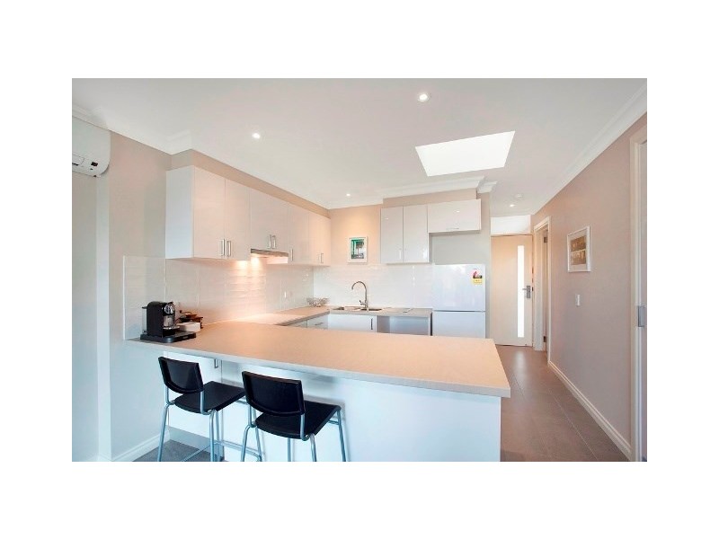
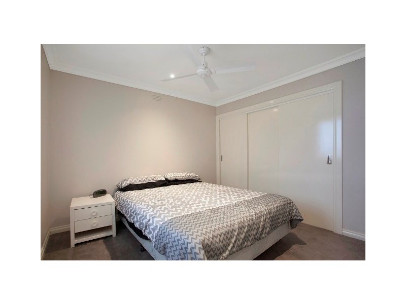
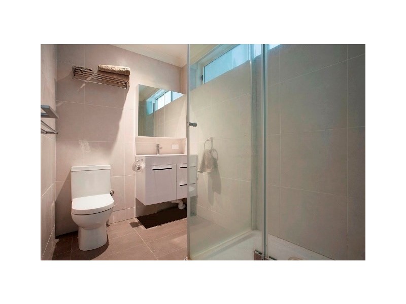
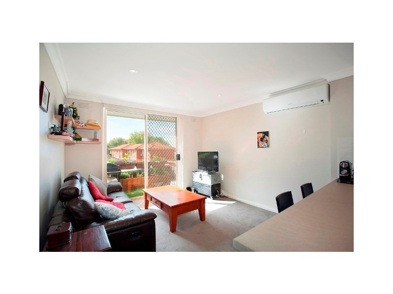
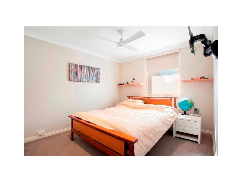
There are approximately 29,553 people living in Carnegie but… who are they?
34
49%
51%
Suburb Stats
$1287/WK
$300/WK
$500/WK
Value of property in Carnegie and nearby suburbs
Carnegie
Box Hill
Hughesdale
Burwood East
Average Home Price$584,297Average Rental Price$384Household Size2.3
Average Home Price$743,448Average Rental Price$353Household Size2.5
Average Home Price$671,627Average Rental Price$400Household Size2.6
Average Home Price$718,895Average Rental Price$388Household Size2.7
Water Useper year per person
0.91mln. litres
State Average 0.75 mln. litres
Nat. Average 0.74 mln. litres
Greenhouse Pollutionper year per person
24.05tonnes
State Average 19.73 tonnes
Nat. Average 20.3 tonnes
Dwelling Types
58%
41%
1%
Most Common Suburb Professions
33% Professio…
16% Clerical…
13% Managers…
10% Technicia…
Nearby train station: carnegie station
Nearby shopping: scooter hut, caulfield village
Nearby schools: st. patrick's primary school, australian academy of dance, holy eucharist primary school, murrumbeena primary school
Nearby cafes: the servery east, simba'r & trends hair & beauty, cafe del mar, mamaduke
Nearby doctors: eyedentity carnegie, chadstone road clinic, carnegie & malvern medical centre, sleep services australia
Nearby hospitals: carnegie medical centre, melbourne equine veterinary group, carnegie central medical clinic, carnegie children's multi-purpose centre
Nearby cinemas: malvern theatre co.
Nearby pharmacies: pharmasave carnegie pharmacy, caulfield plaza pharmacy, david jones pharmacy, galatis amcal pharmacy
Nearby police stations: murrumbeena police station
Nearby parks: rosanna street reserve, e caulfield recreation reserve, ardrie park, urban forest