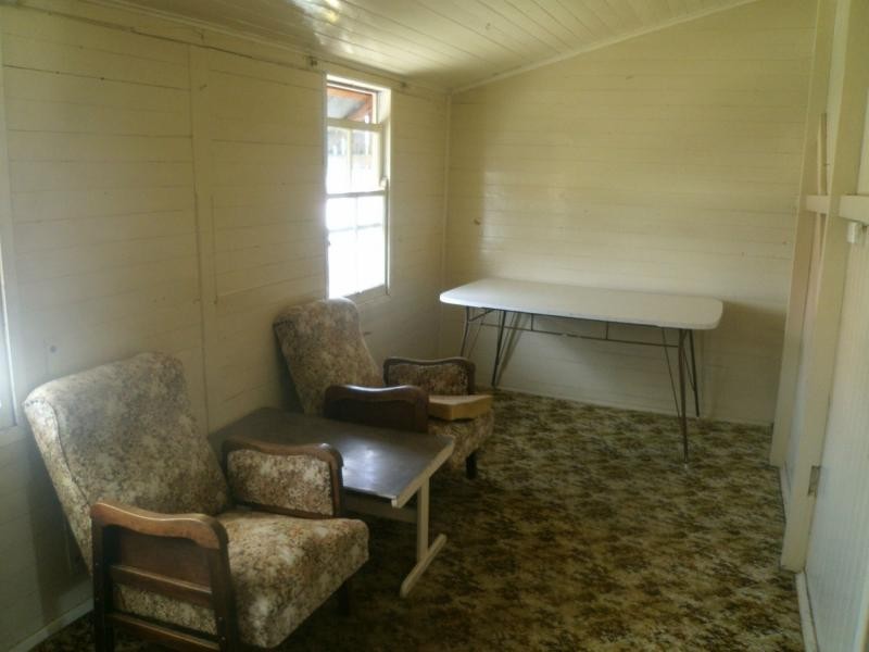
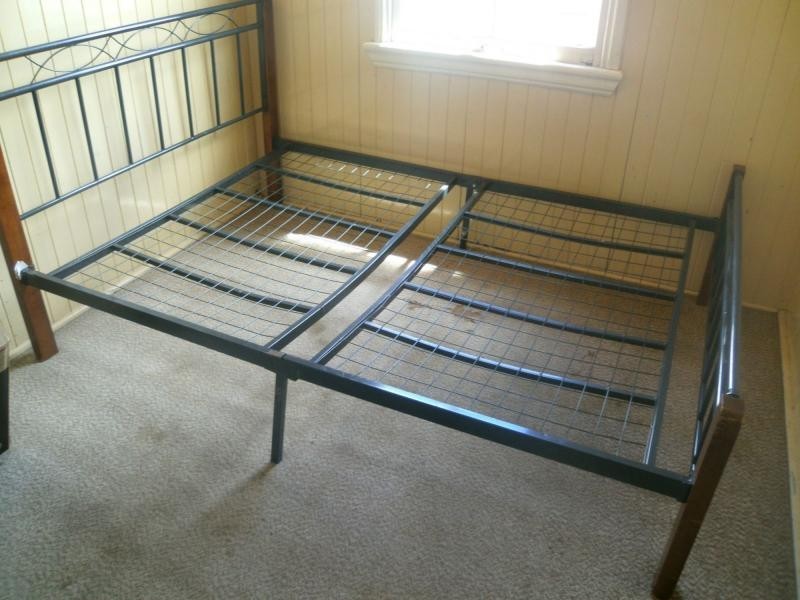
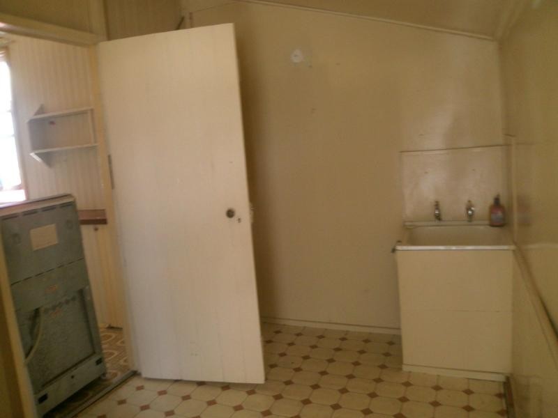
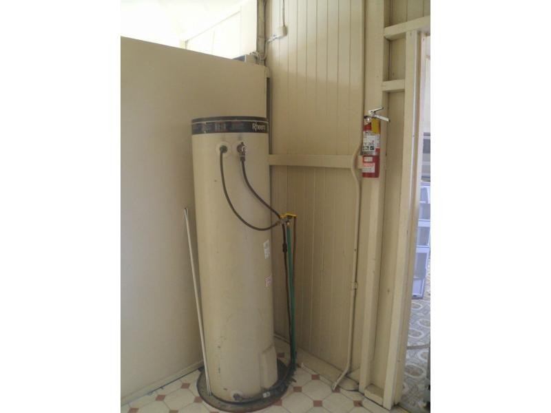
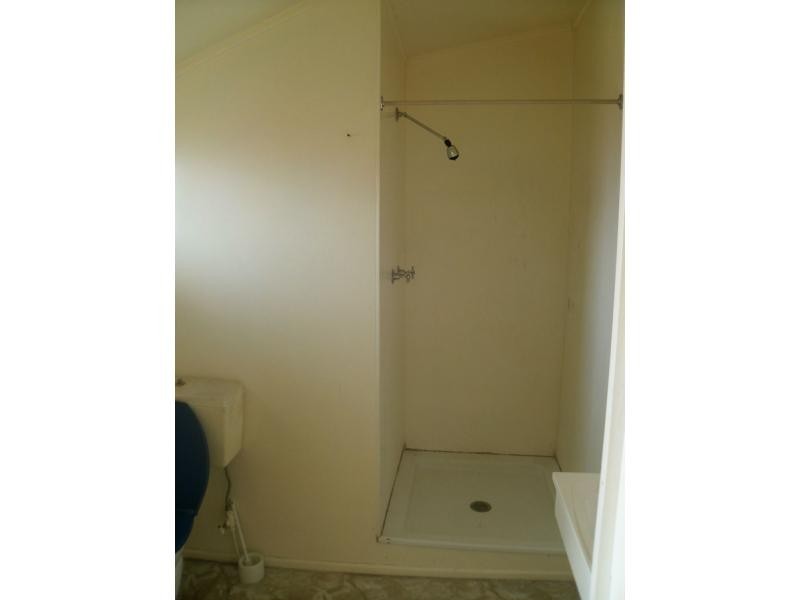
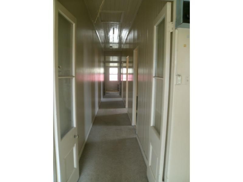
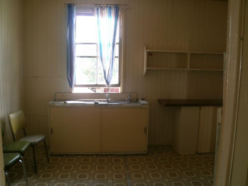
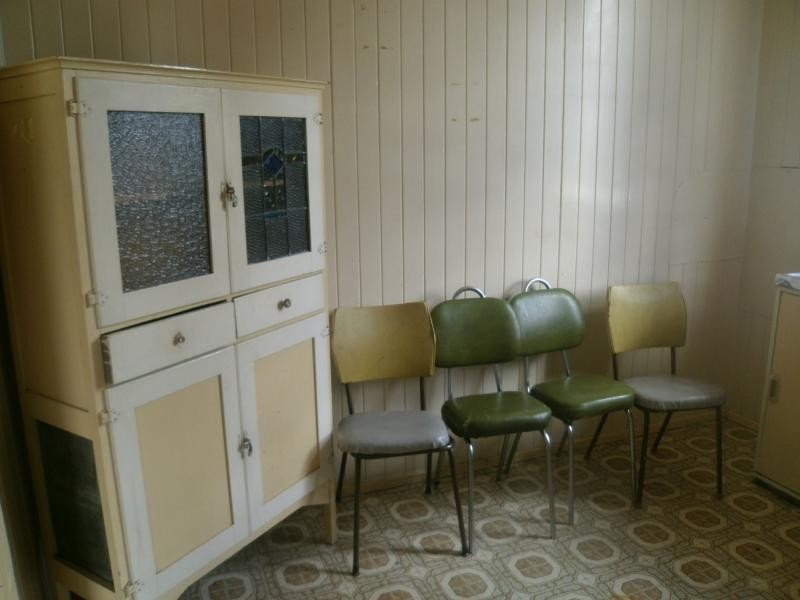
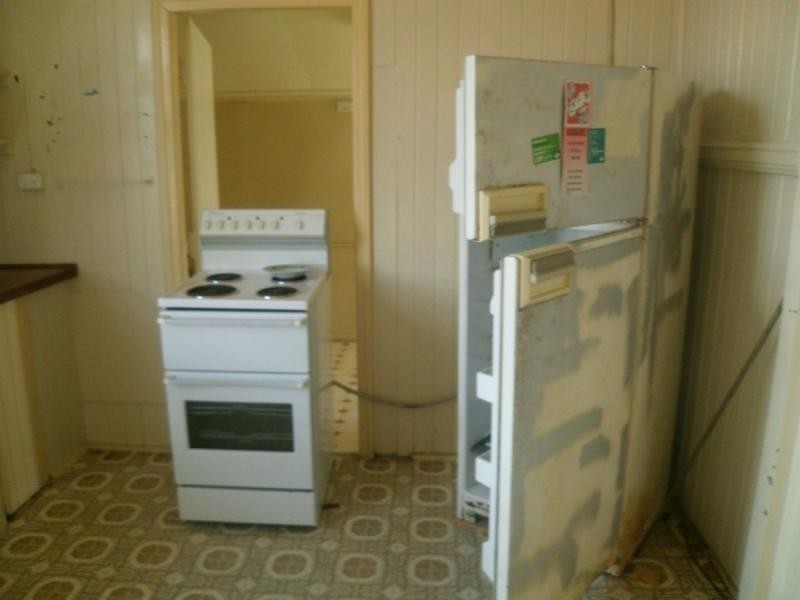
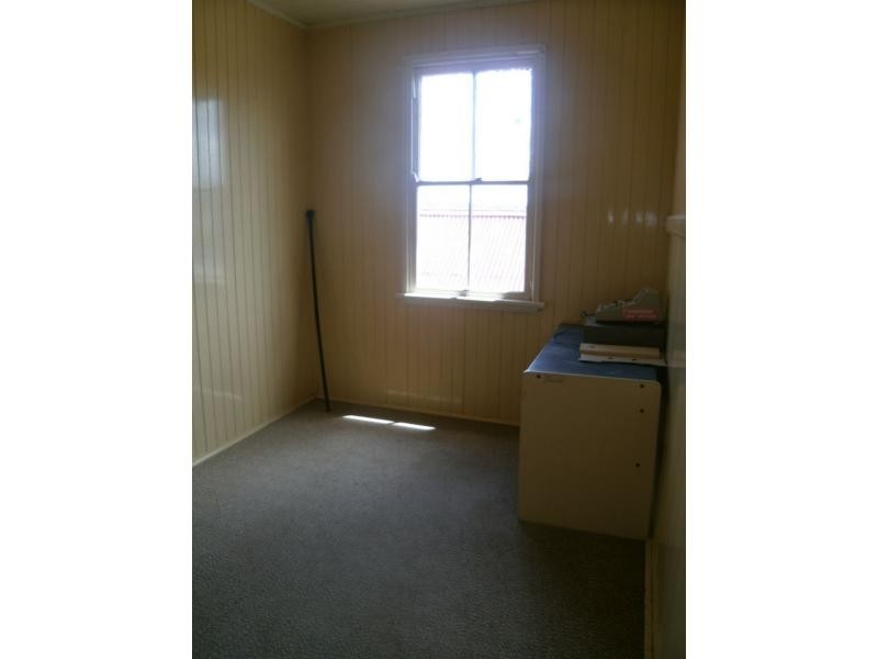
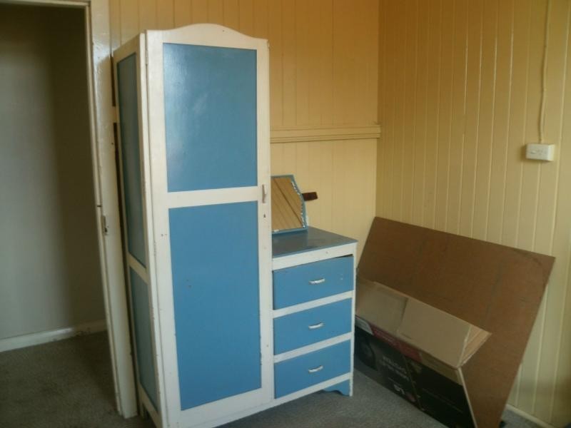
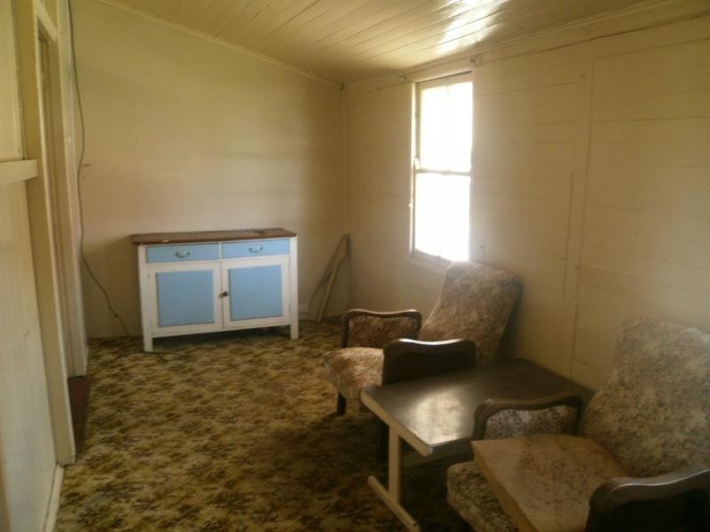
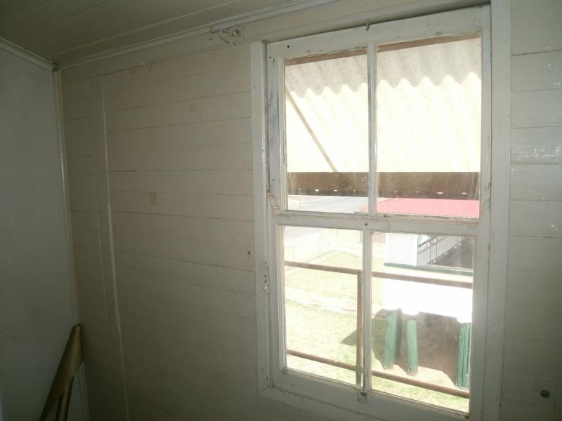
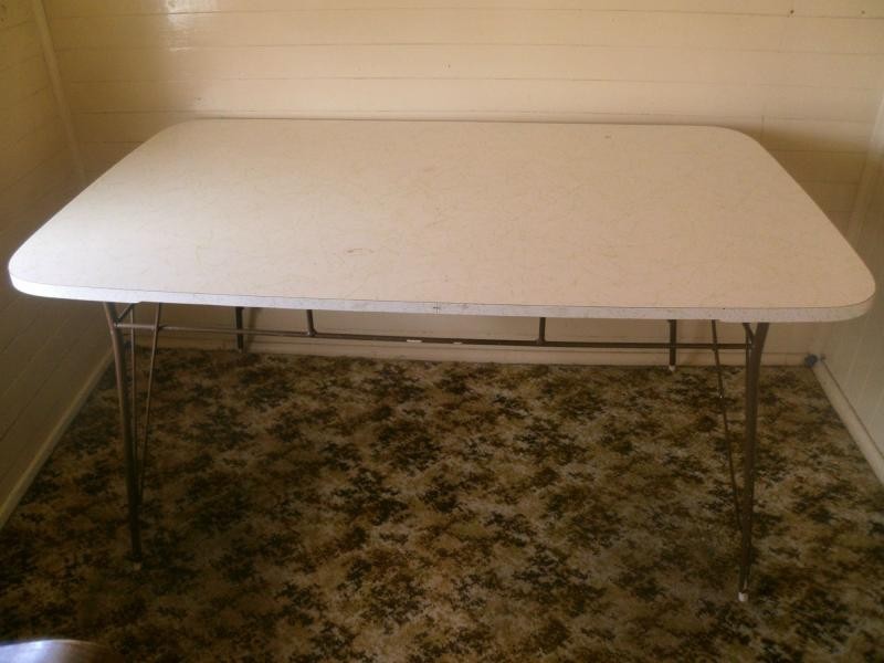
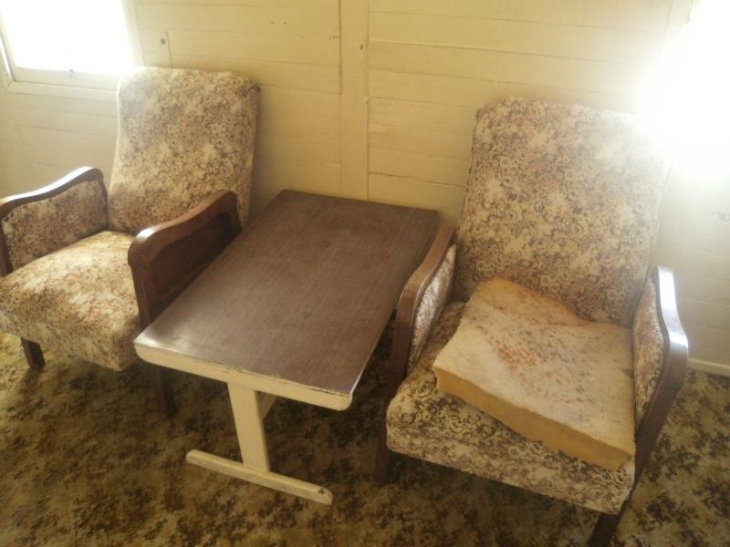
There are approximately 17,238 people living in Warwick but… who are they?
40
48%
52%
Suburb Stats
$884/WK
$215/WK
$325/WK
Value of property in Warwick and nearby suburbs
Warwick
Biggenden
Hazeldean
Cedar Vale
Average Home Price$314,784Average Rental Price$252Household Size2.5
Average Home Price$239,614Average Rental Price$223Household Size2.2
Average Home Price$505,857Average Rental Price$461Household Size2.5
Average Home Price$473,627Average Rental Price$430Household Size2.8
Water Useper year per person
0.62mln. litres
State Average 0.68 mln. litres
Nat. Average 0.74 mln. litres
Greenhouse Pollutionper year per person
17.3tonnes
State Average 18.38 tonnes
Nat. Average 20.3 tonnes
Dwelling Types
91%
6%
2%
Most Common Suburb Professions
16% Labourers…
14% Technicia…
13% Managers…
12% Clerical…
Nearby shopping: rose city shopping world centre management, village shopping centre
Nearby schools: australian college of phytotherapy pty ltd, a country garden early childhood centres, warwick state high school, killarney school of dance
Nearby cafes: the cherry tree coffee & dining, char-belas restaurant, brysons place
Nearby doctors: doolan d, condamine medical centre - dr john kiss, condamine medical centre-dr lynton hudson, friendly feet podiatry
Nearby hospitals: southern downs district health services, condamine medical centre
Nearby cinemas: warwick twin cinema
Nearby pharmacies: john duggan amcal chemist, warwick friendly society pharmacy, warwick friendly society pharmacies, discount drug store
Nearby police stations: warwick police station
Nearby parks: australiana park, leslie park, warwick bowling club inc, tullock park
Nearby restaurants: the cherry tree coffee & dining, kfc warwick, hungry jack's warwrick, eagle boys pizza