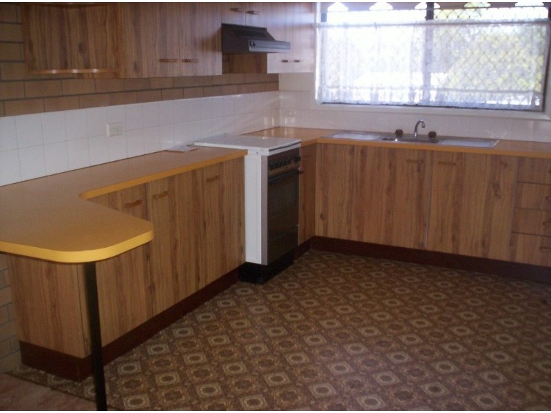
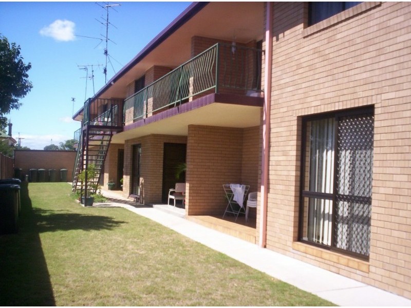
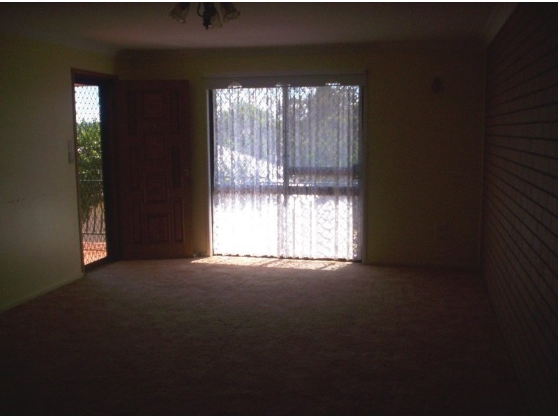
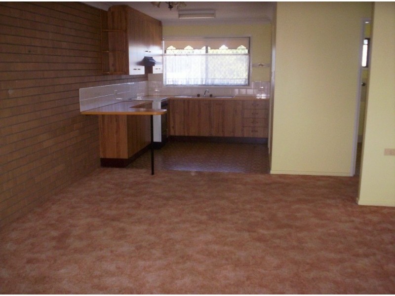
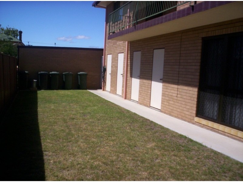
There are approximately 17,238 people living in Warwick but… who are they?
40
48%
52%
Suburb Stats
$884/WK
$215/WK
$325/WK
Value of property in Warwick and nearby suburbs
Warwick
Jimboomba
Pilton
Miles
Average Home Price$314,784Average Rental Price$252Household Size2.5
Average Home Price$486,907Average Rental Price$412Household Size3.2
Average Home Price$275,000Average Rental Price$0Household Size2.4
Average Home Price$349,678Average Rental Price$627Household Size2.4
Water Useper year per person
0.62mln. litres
State Average 0.68 mln. litres
Nat. Average 0.74 mln. litres
Greenhouse Pollutionper year per person
17.3tonnes
State Average 18.38 tonnes
Nat. Average 20.3 tonnes
Dwelling Types
91%
6%
2%
Most Common Suburb Professions
16% Labourers…
14% Technicia…
13% Managers…
12% Clerical…
Nearby shopping: village shopping centre, rose city shopping world centre management
Nearby schools: warwick state high school, a country garden early childhood centres, warwick community kindergarten, glennie heights preschool
Nearby cafes: brysons place, the cherry tree coffee & dining, char-belas restaurant
Nearby doctors: timothy williams dr, condamine medical centre - dr john kiss, condamine medical centre - dr evan ackermann, queensland vascular: dr toby cohen
Nearby hospitals: southern downs district health services, condamine medical centre
Nearby cinemas: warwick twin cinema
Nearby pharmacies: warwick friendly society pharmacy, warwick friendly society pharmacies, discount drug store, john duggan amcal chemist
Nearby police stations: warwick police station
Nearby parks: leslie park, tullock park, warwick bowling club inc, kahlers oasis caravan park
Nearby restaurants: red rooster warwick rose city foodcourt, palms on palmerin, mango camping, char-belas restaurant