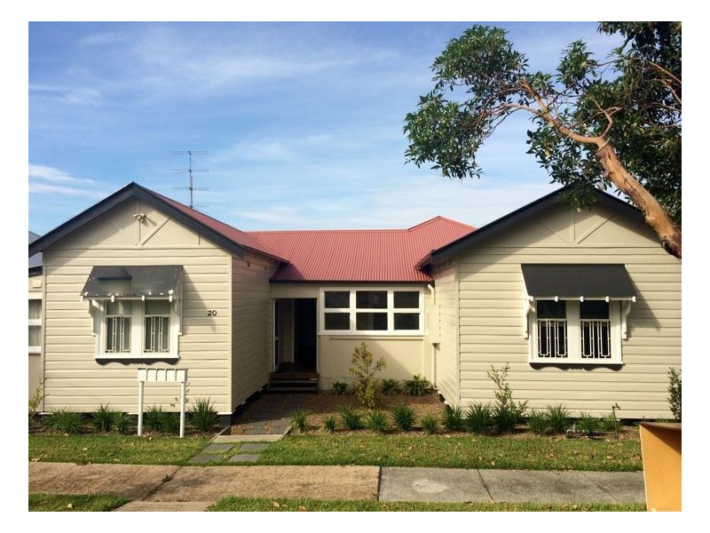
There are approximately 4,234 people living in Mayfield but… who are they?
41
52%
48%
Suburb Stats
$969/WK
$170/WK
$380/WK
Value of property in Mayfield and nearby suburbs
Mayfield
Kotara
Mount Hutton
Whitebridge
Average Home Price$448,368Average Rental Price$334Household Size2.4
Average Home Price$521,282Average Rental Price$398Household Size2.5
Average Home Price$434,595Average Rental Price$374Household Size2.5
Average Home Price$518,745Average Rental Price$374Household Size2.5
Water Useper year per person
0.6mln. litres
State Average 0.74 mln. litres
Nat. Average 0.74 mln. litres
Greenhouse Pollutionper year per person
16.65tonnes
State Average 19.31 tonnes
Nat. Average 20.3 tonnes
Dwelling Types
95%
3%
1%
Most Common Suburb Professions
17% Technicia…
17% Managers…
15% Machinery…
14% Labourers…
Nearby shopping: warabrook
Nearby schools: mayfield west public school, hunter institute tafe nsw, dale christian school, waratah public school
Nearby cafes: tasteful creations cafe, gloria jean's coffees, steel river take away, uprising
Nearby doctors: dr rita singh family practice - rita singh, mayfield family podiatry, hanbury street family practice-tang stanley, east 'n' holmes audiology
Nearby hospitals: mayfield podiatry clinic - newcastle, william lyne day hospital, mayfield medical connection
Nearby pharmacies: georgetown pharmacy, jon dickson pharmacy, warabrook pharmacy
Nearby police stations: waratah police station
Nearby parks: bhp partnership park, smith park, webb park, stevenson park
Nearby restaurants: domino's pizza mayfield, the gateway inn newcastle, kfc mayfield, sovereign inn newcastle motel