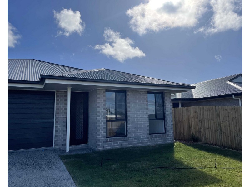
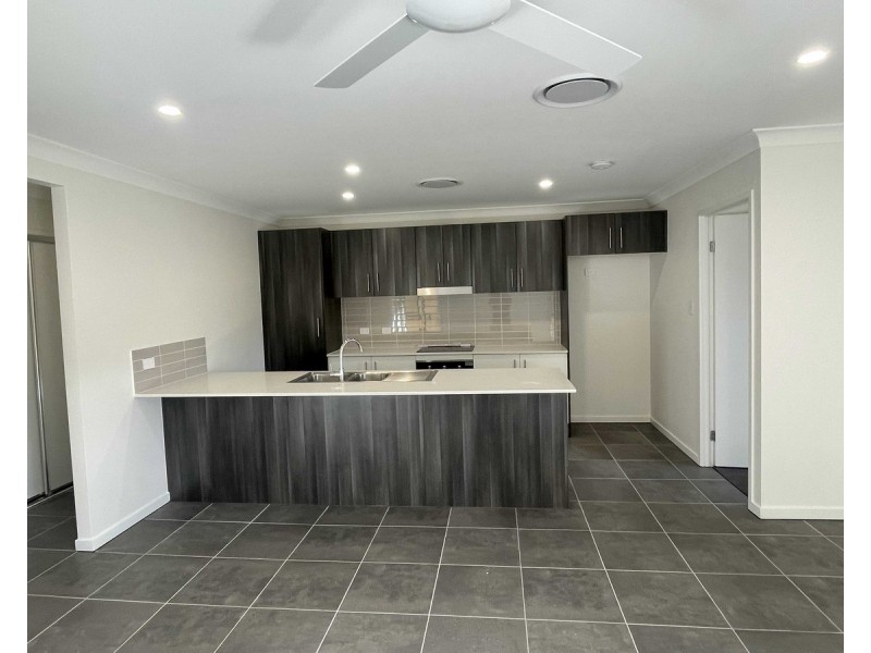
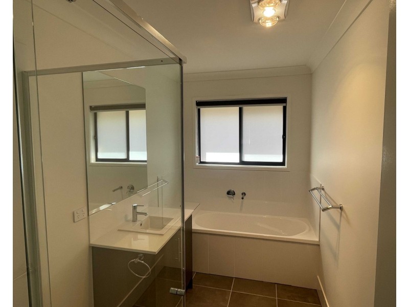
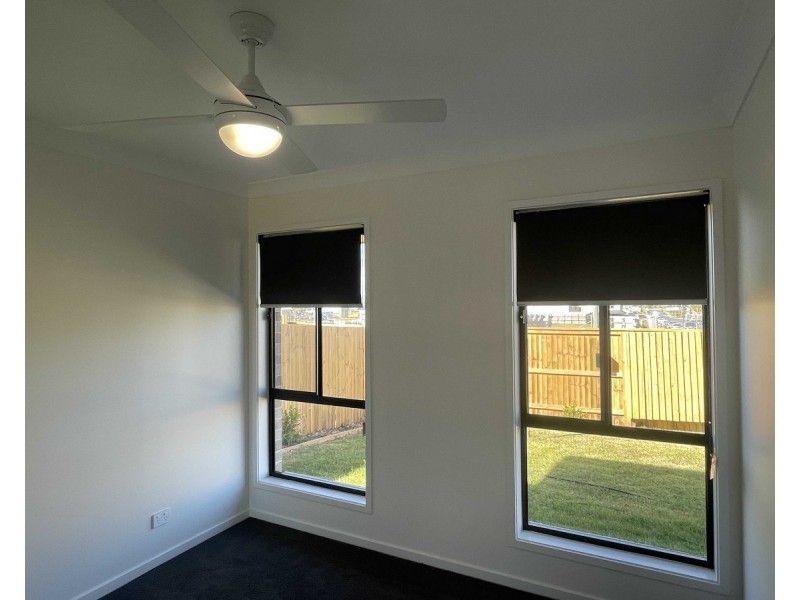
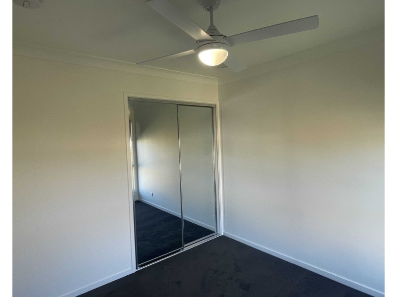
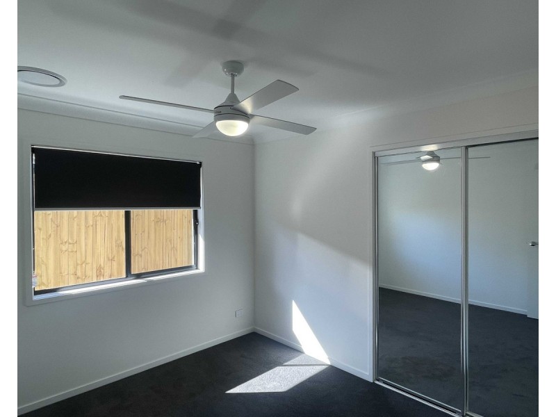
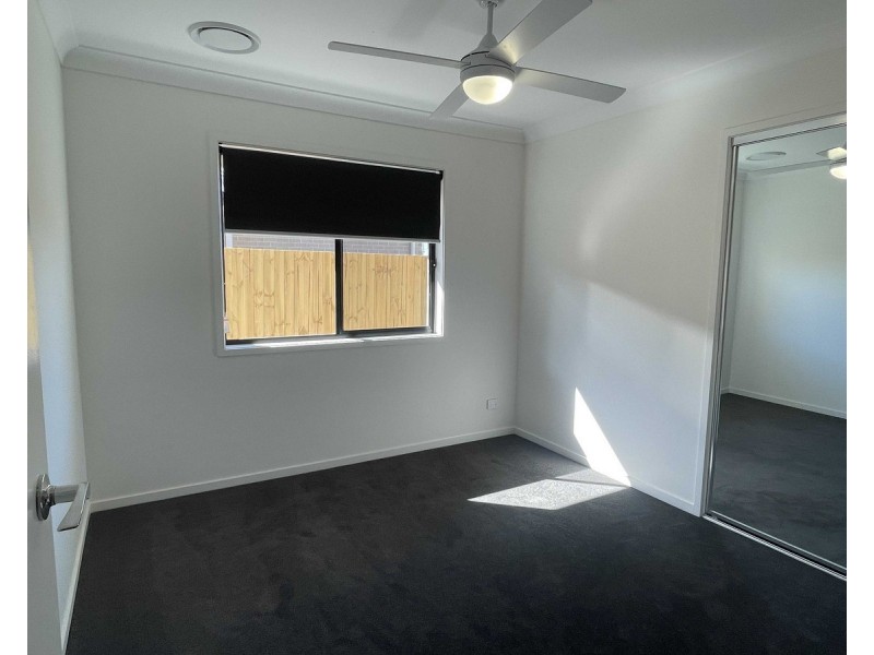
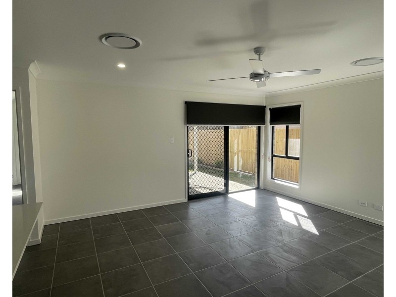
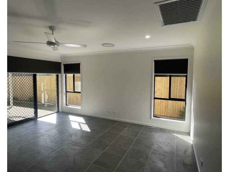
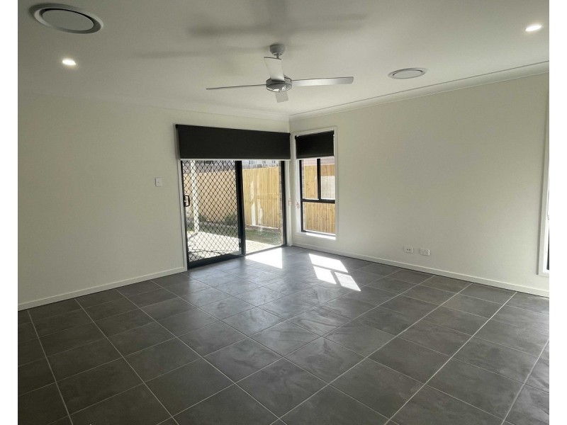
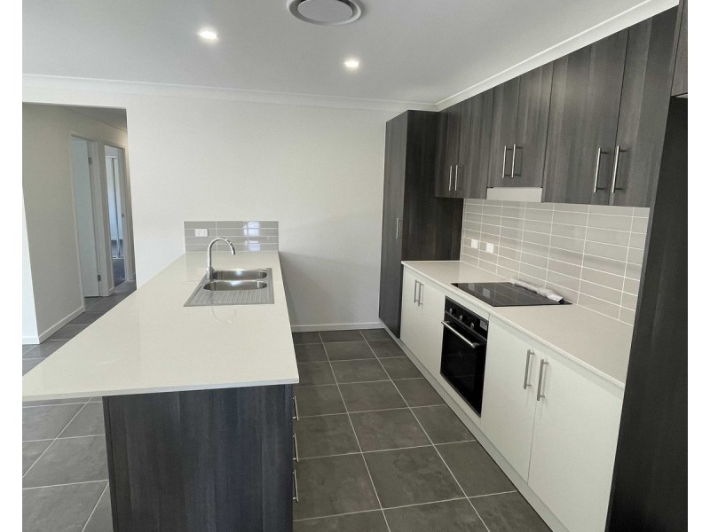
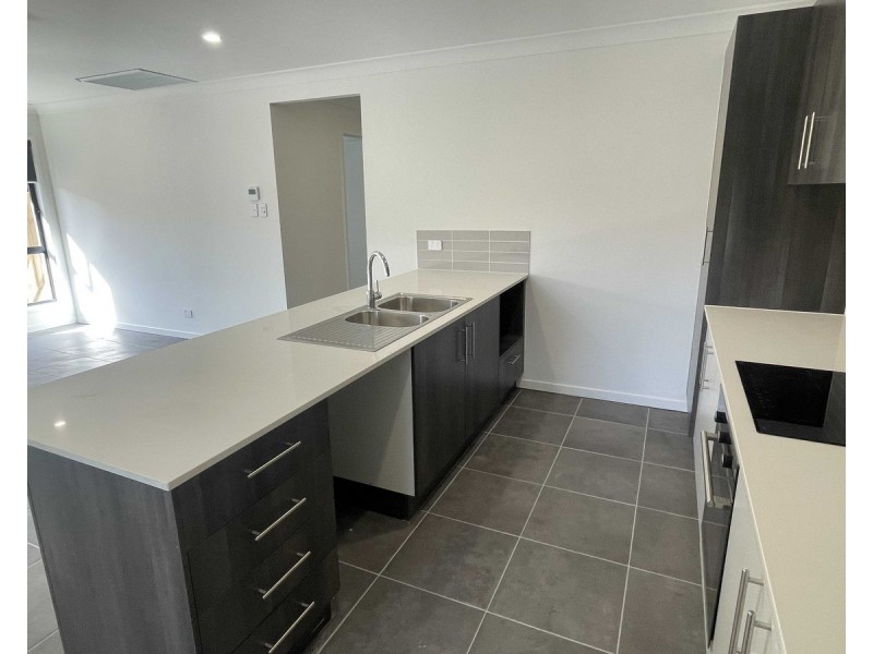
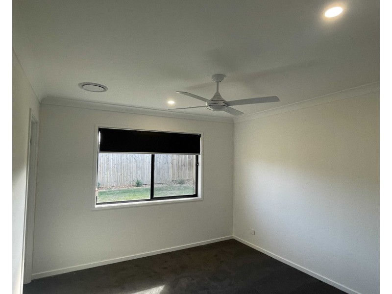
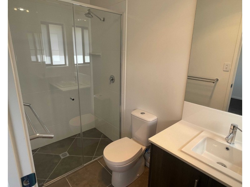
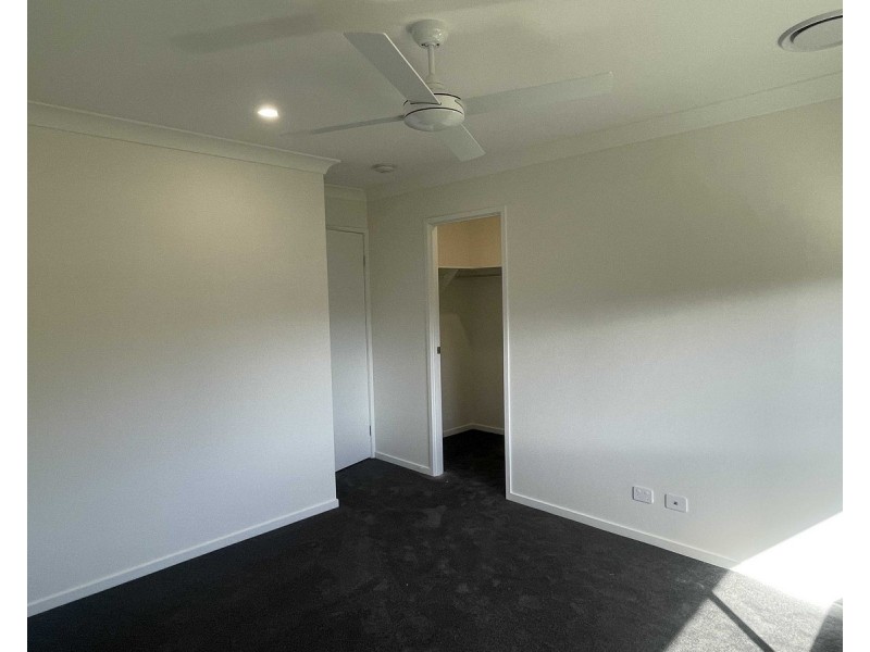
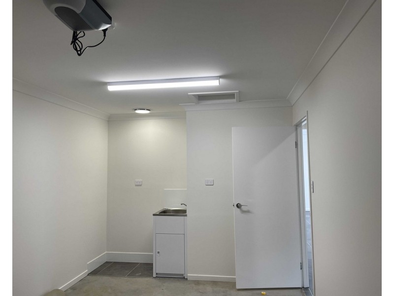
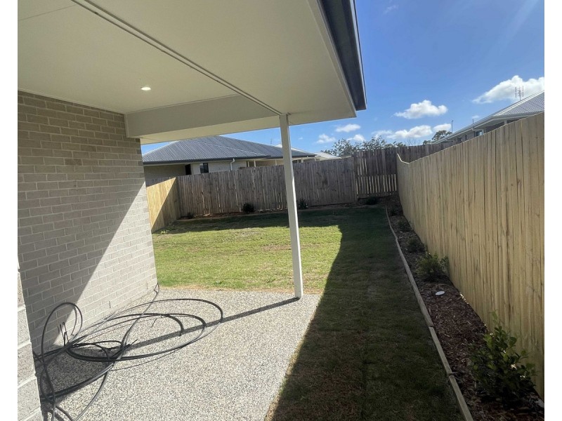
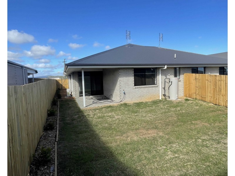
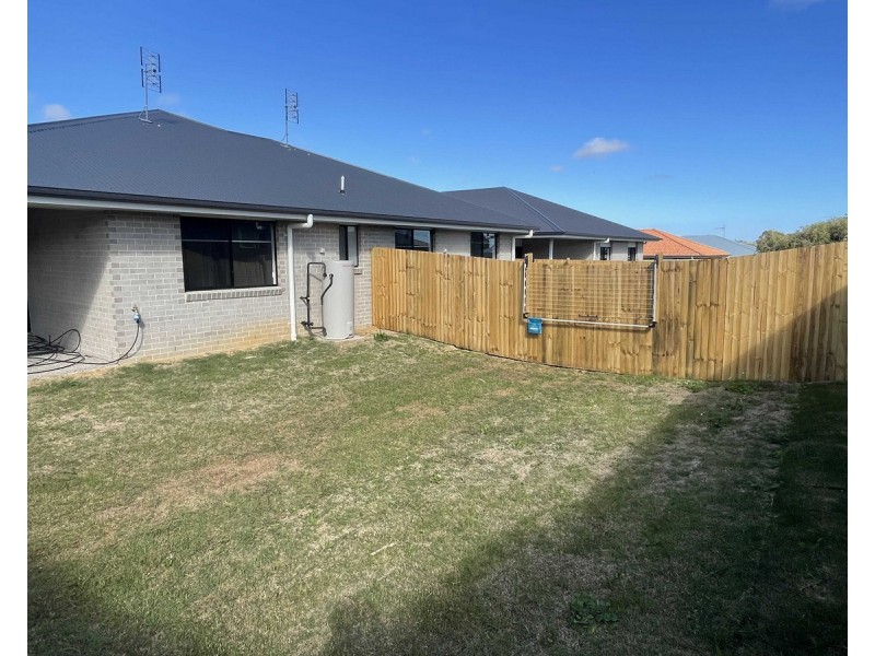
1/23 McDougall Street, Warwick QLD 4370 EASY TO MAINTAIN UNIT $460 per week 3 2 1 Enquire Listing ID: 42013278 Other properties to rent near 1/23 McDougall Street, Warwick QLD 4370 1/23 McDougall Street, Warwick QLD 4370 33A McDougall Street, Warwick QLD 4370 2/25 McDougall Street, Warwick QLD 4370 1/25 McDougall Street, Warwick QLD 4370 1/23 McDougall Street, Warwick QLD 4370 Location Enquire Enquiry about this property Name* Email* Phone* Message* Send me regular newsletters from Homehound Have agents get in touch about similar properties within the area What is 8 + 20?* Receive email alerts for properties like this Email alerts Email* Send me regular newsletters from Homehound. Have agents get in touch about similar properties within the area What is 8 + 20?*