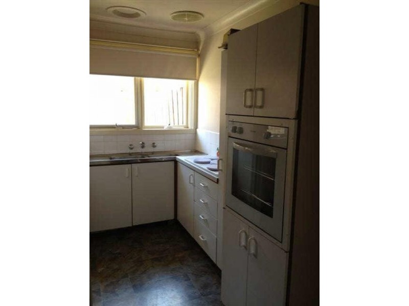
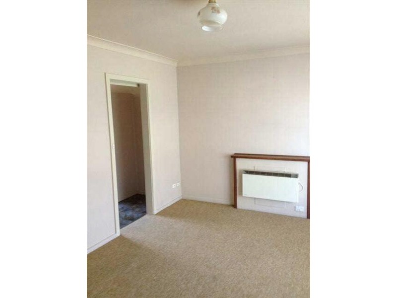
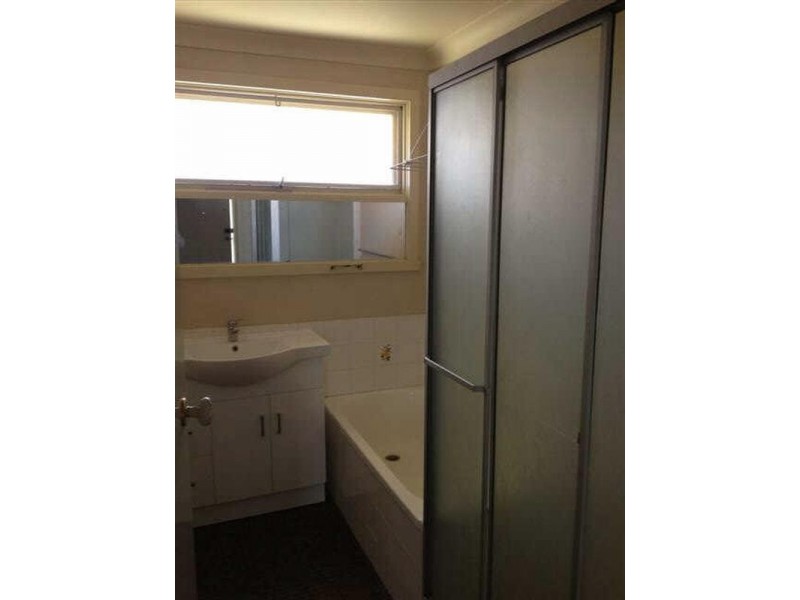
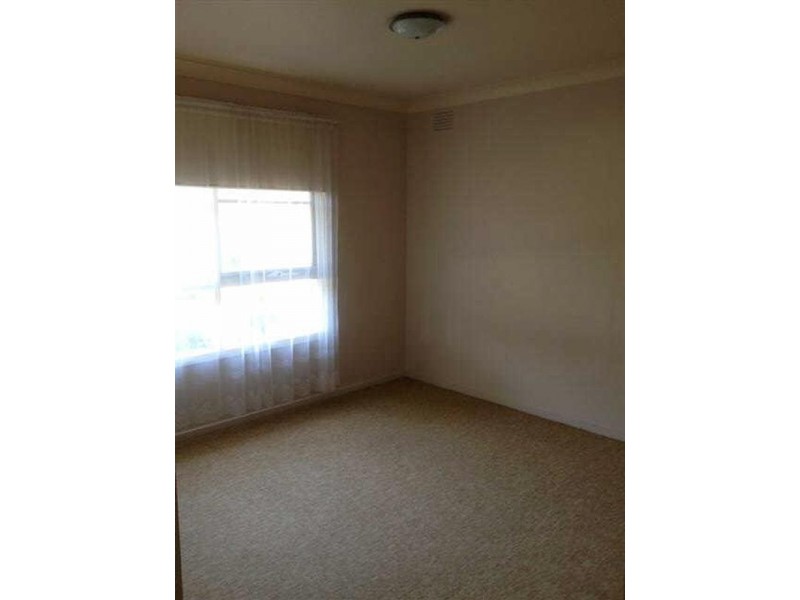
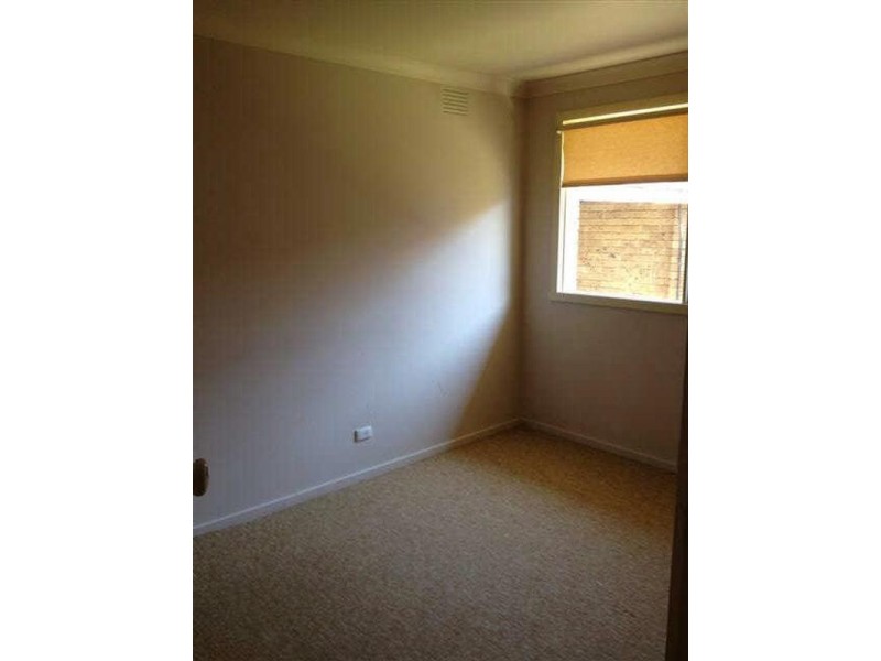
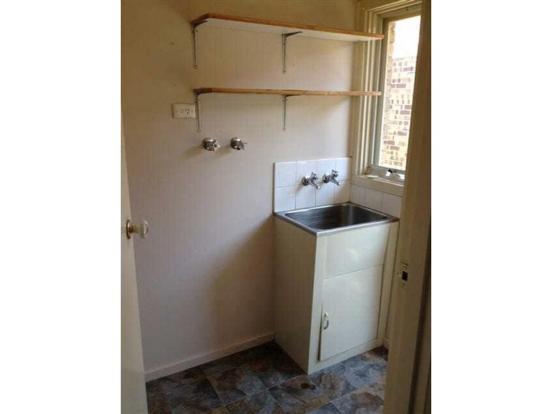
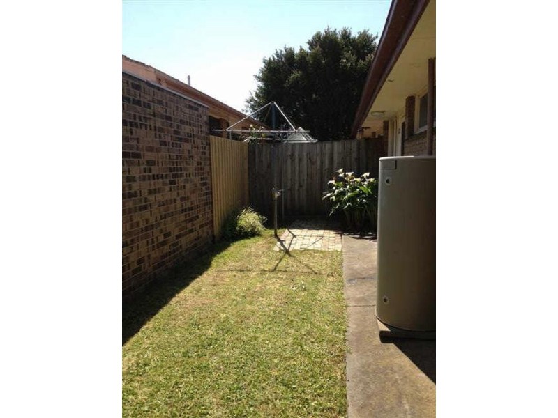
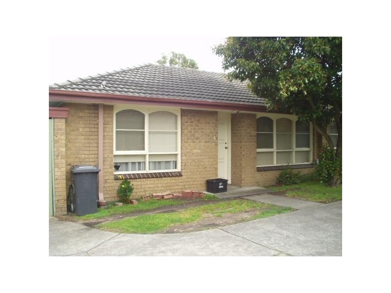
There are approximately 29,553 people living in Carnegie but… who are they?
34
49%
51%
Suburb Stats
$1287/WK
$300/WK
$500/WK
Value of property in Carnegie and nearby suburbs
Carnegie
Hughesdale
Murrumbeena
Surrey Hills
Average Home Price$584,297Average Rental Price$384Household Size2.3
Average Home Price$671,627Average Rental Price$400Household Size2.6
Average Home Price$700,579Average Rental Price$381Household Size2.3
Average Home Price$1,310,219Average Rental Price$445Household Size2.7
Water Useper year per person
0.91mln. litres
State Average 0.75 mln. litres
Nat. Average 0.74 mln. litres
Greenhouse Pollutionper year per person
24.05tonnes
State Average 19.73 tonnes
Nat. Average 20.3 tonnes
Dwelling Types
58%
41%
1%
Most Common Suburb Professions
33% Professio…
16% Clerical…
13% Managers…
10% Technicia…
Nearby train station: carnegie station
Nearby shopping: scooter hut, caulfield village
Nearby schools: martial mix, goodstart early learning glen huntly, murrumbeena primary school, st mary's catholic primary school
Nearby cafes: cafe del mar, the servery east, mamaduke, simba'r & trends hair & beauty
Nearby doctors: chadstone road clinic, carnegie central medical clinic, duldig + russo optometry, wilson jennifer dr
Nearby hospitals: carnegie medical centre, carnegie children's multi-purpose centre, carnegie & malvern medical centre, melbourne equine veterinary group
Nearby cinemas: malvern theatre co.
Nearby pharmacies: ormond amcal pharmacy, amcal glen huntly pharmacy, charles pharmacy, caulfield plaza pharmacy
Nearby police stations: murrumbeena police station
Nearby parks: gardeners touch, urban forest, outer circle linear park, garden avenue reserve