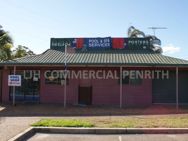
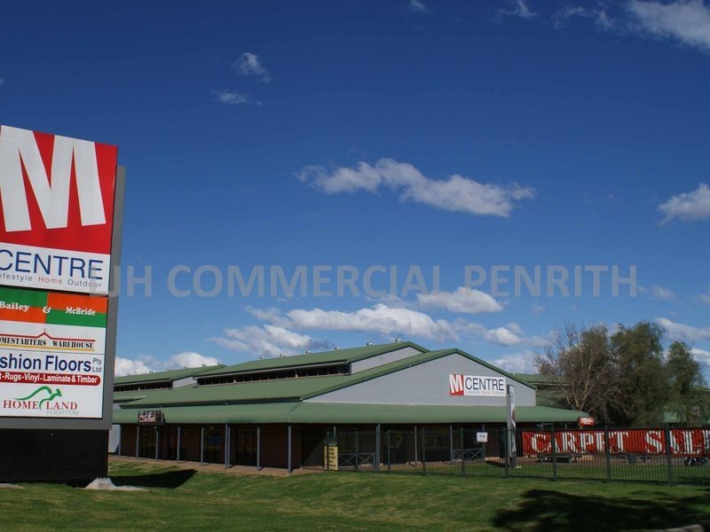
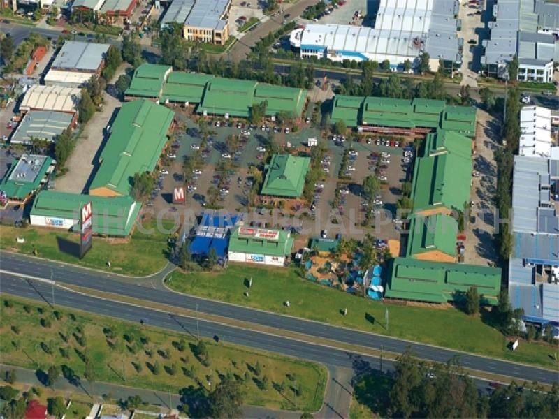
There are approximately 60,343 people living in Minchinbury but… who are they?
30
49%
51%
Suburb Stats
$950/WK
$220/WK
$409/WK
Value of property in Minchinbury and nearby suburbs
Minchinbury
Horsley Park
Castlereagh
Wetherill Park
Average Home Price$635,750Average Rental Price$447Household Size3.1
Average Home Price$1,805,019Average Rental Price$471Household Size3.3
Average Home Price$1,560,324Average Rental Price$623Household Size3.1
Average Home Price$648,207Average Rental Price$442Household Size3
Water Useper year per person
0.64mln. litres
State Average 0.74 mln. litres
Nat. Average 0.74 mln. litres
Greenhouse Pollutionper year per person
16.1tonnes
State Average 19.31 tonnes
Nat. Average 20.3 tonnes
Dwelling Types
89%
11%
0%
Most Common Suburb Professions
18% Machinery…
16% Labourers…
16% Clerical…
13% Technicia…
Nearby shopping: creative spirit centre minchinbury, daniel thomas plaza, good luck plaza, dawson mall
Nearby schools: donna jeans danceforce, jansen's engineering & technical services, carol murray school of dance, colyton public school
Nearby cafes: michels patisserie mount druitt, hot wok, stardust cafe, creative spirit centre minchinbury
Nearby doctors: rosenthal dental surgery, primary dental mt druitt, mt druitt medical centre, macquarie pathology services pty ltd.
Nearby hospitals: dharruk aboriginal medical service, mt druitt medical centre, minchinbury community hospital, blacktown & mt druitt community health service
Nearby cinemas: amf rooty hill rsl
Nearby pharmacies: mt druitt pharmacy pty ltd
Nearby police stations: mount druitt police station
Nearby parks: pascoe walk, durham street watercourse reserve, federation forest, mount druit town centre reserve