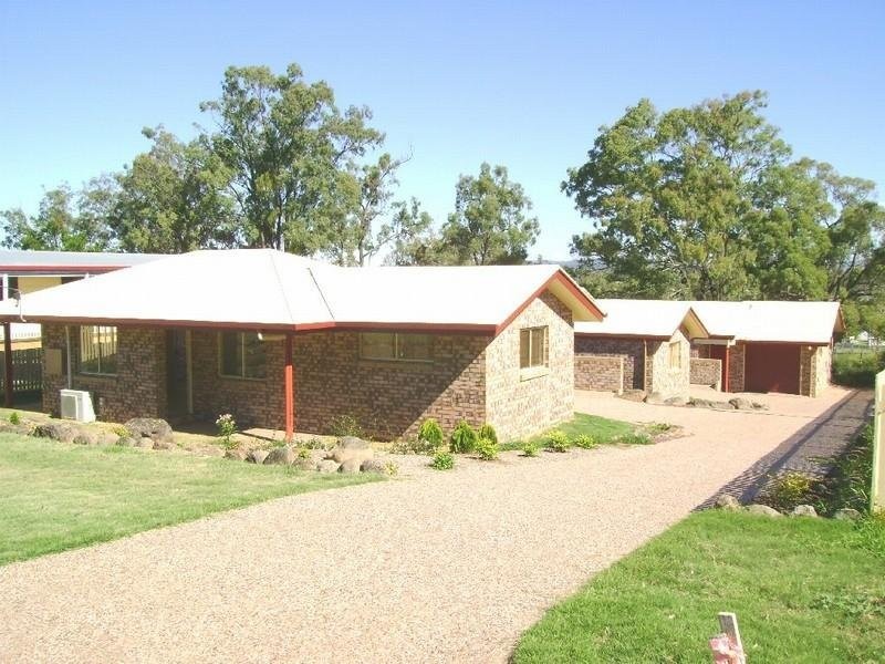
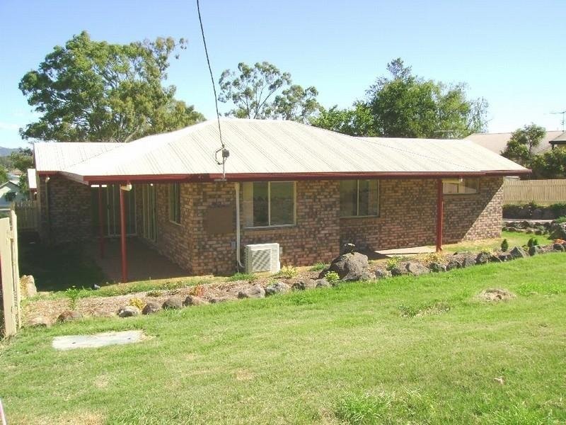
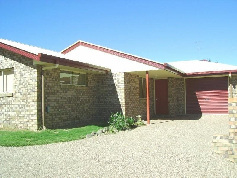
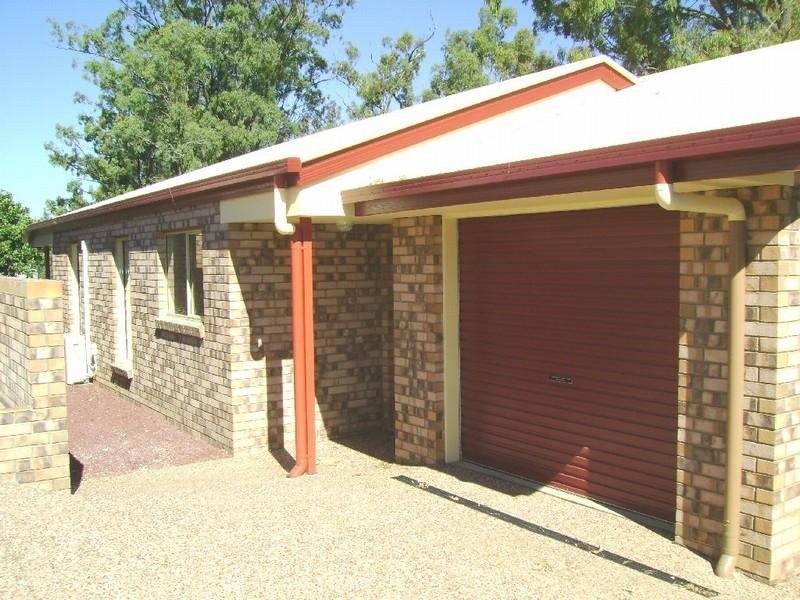
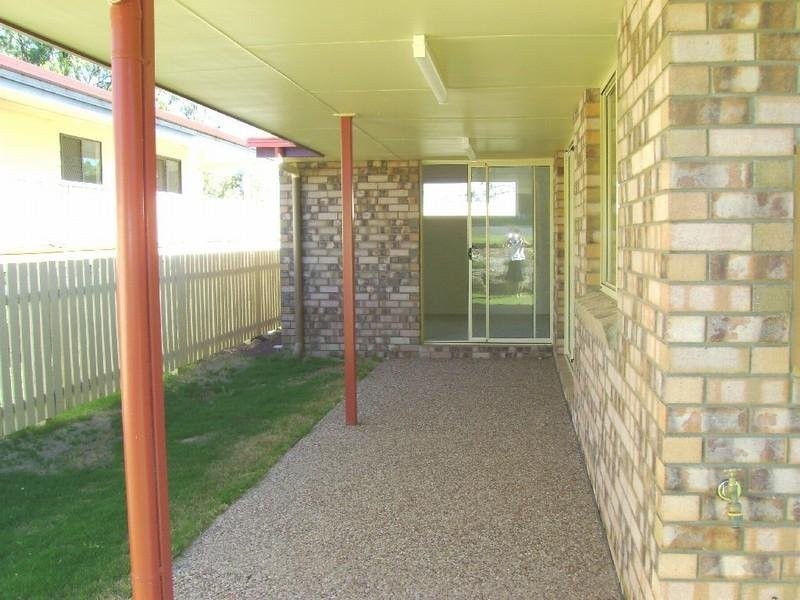
There are approximately 17,238 people living in Warwick but… who are they?
40
48%
52%
Suburb Stats
$884/WK
$215/WK
$325/WK
Value of property in Warwick and nearby suburbs
Warwick
Pratten
Stanthorpe
Clintonvale
Average Home Price$314,784Average Rental Price$252Household Size2.5
Average Home Price$279,167Average Rental Price$236Household Size2.5
Average Home Price$310,018Average Rental Price$251Household Size2.3
Average Home Price$3,366,667Average Rental Price$333Household Size2.5
Water Useper year per person
0.62mln. litres
State Average 0.68 mln. litres
Nat. Average 0.74 mln. litres
Greenhouse Pollutionper year per person
17.3tonnes
State Average 18.38 tonnes
Nat. Average 20.3 tonnes
Dwelling Types
91%
6%
2%
Most Common Suburb Professions
16% Labourers…
14% Technicia…
13% Managers…
12% Clerical…
Nearby shopping: village shopping centre, rose city shopping world centre management
Nearby schools: glennie heights state school, warwick christian college, warwick community kindergarten, a country garden early childhood centres
Nearby cafes: the cherry tree coffee & dining, brysons place, char-belas restaurant
Nearby doctors: southern downs dental - dr. mike geisel, doolan d, condamine medical centre-dr lynton hudson, condamine medical centre - dr aleta slattery
Nearby hospitals: condamine medical centre, southern downs district health services
Nearby cinemas: warwick twin cinema
Nearby pharmacies: john duggan amcal chemist, discount drug store, warwick friendly society pharmacies, warwick friendly society pharmacy
Nearby police stations: warwick police station
Nearby parks: kahlers oasis caravan park, tullock park, leslie park, victoria park
Nearby restaurants: shalimar indian restaurant, char-belas restaurant, hungry jack's warwrick, brysons place