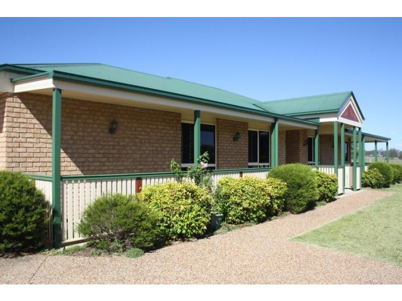
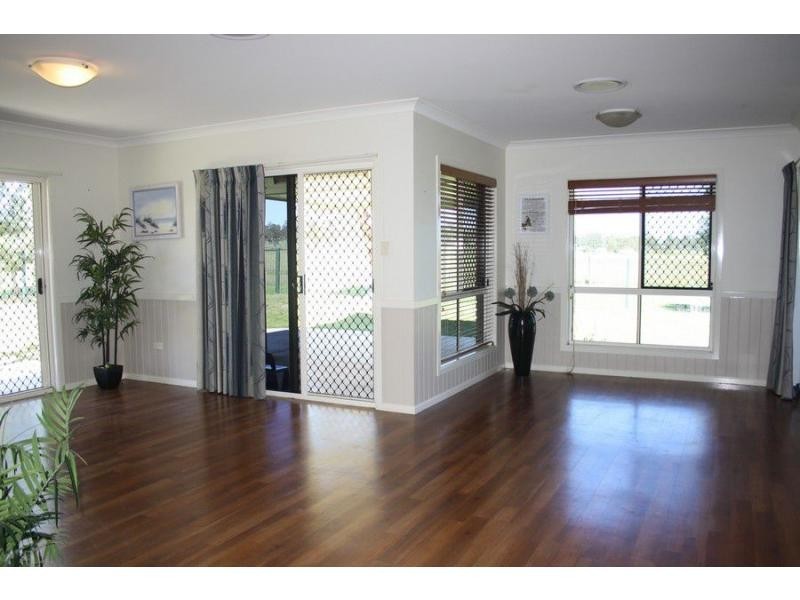
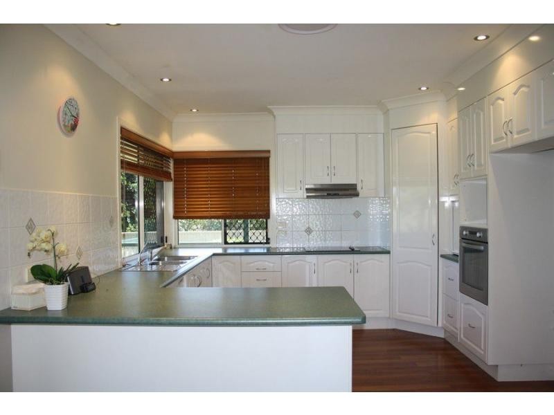
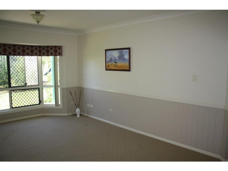
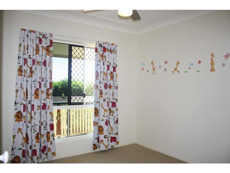
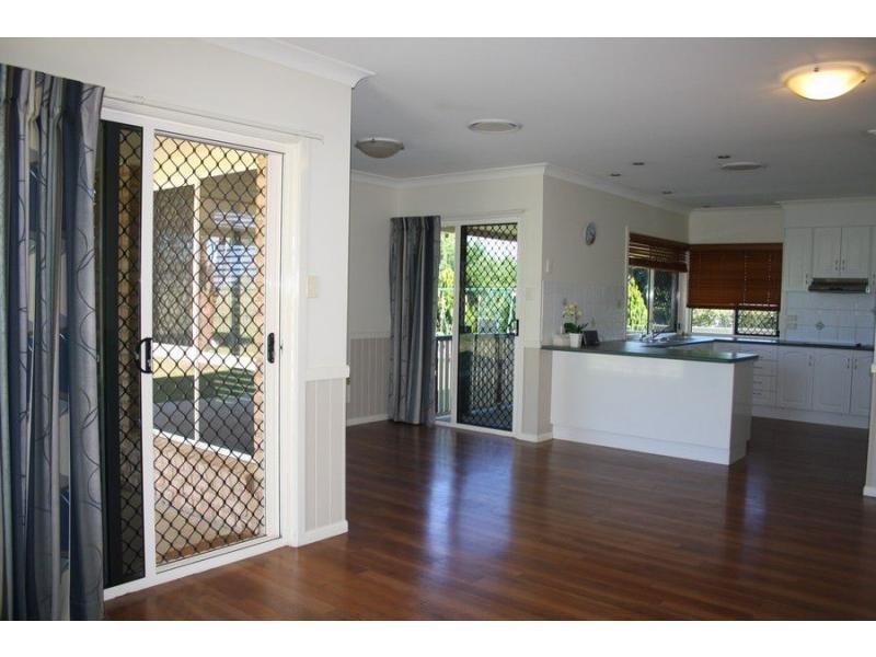
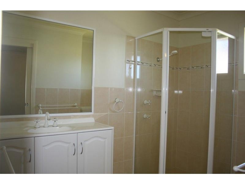
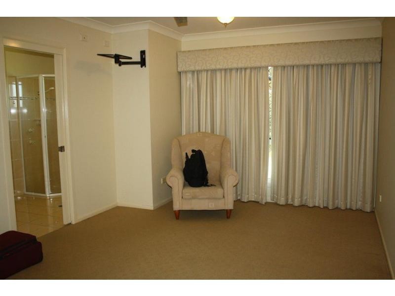
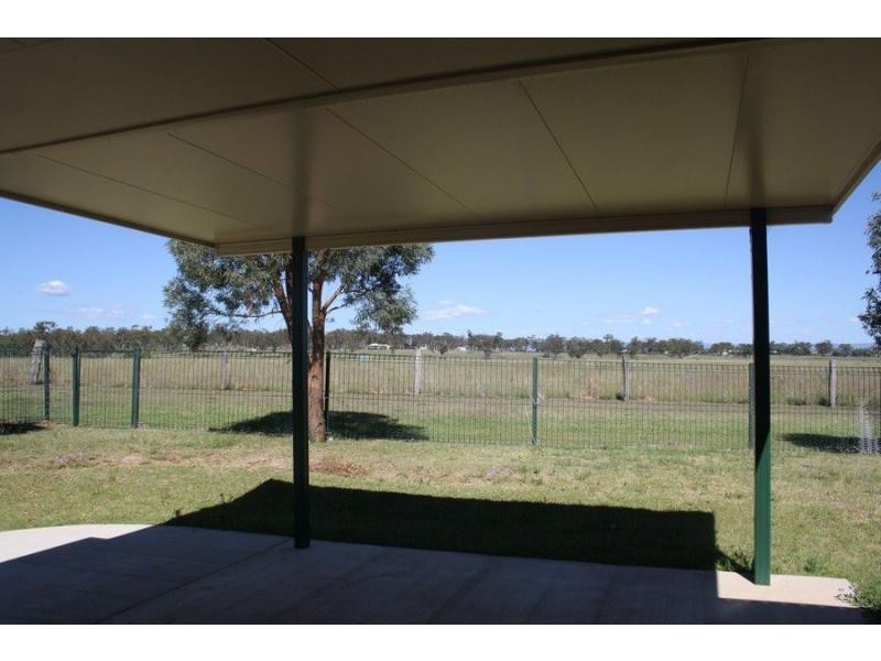
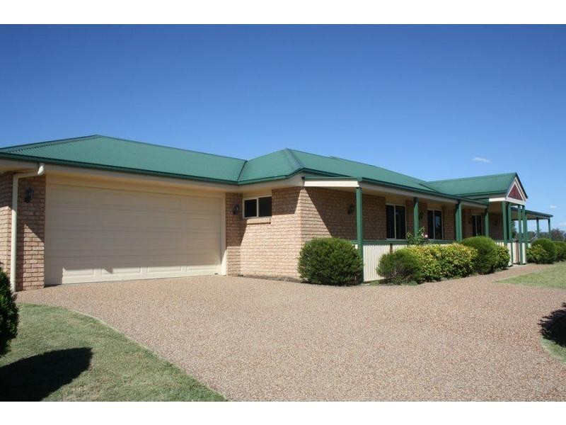
There are approximately 17,238 people living in Warwick but… who are they?
40
48%
52%
Suburb Stats
$884/WK
$215/WK
$325/WK
Value of property in Warwick and nearby suburbs
Warwick
Wondai
Clintonvale
Taroom
Average Home Price$314,784Average Rental Price$252Household Size2.5
Average Home Price$241,838Average Rental Price$217Household Size2.3
Average Home Price$3,366,667Average Rental Price$333Household Size2.5
Average Home Price$246,406Average Rental Price$567Household Size2.3
Water Useper year per person
0.62mln. litres
State Average 0.68 mln. litres
Nat. Average 0.74 mln. litres
Greenhouse Pollutionper year per person
17.3tonnes
State Average 18.38 tonnes
Nat. Average 20.3 tonnes
Dwelling Types
91%
6%
2%
Most Common Suburb Professions
16% Labourers…
14% Technicia…
13% Managers…
12% Clerical…
Nearby shopping: rose city shopping world centre management, village shopping centre
Nearby schools: st mary's primary school, warwick community kindergarten, australian college of phytotherapy pty ltd, agnew school
Nearby cafes: char-belas restaurant, the cherry tree coffee & dining, brysons place
Nearby doctors: queensland vascular: dr toby cohen, condamine medical centre - dr evan ackermann, condamine medical centre - dr john kiss, timothy williams dr
Nearby hospitals: condamine medical centre, southern downs district health services
Nearby cinemas: warwick twin cinema
Nearby pharmacies: warwick friendly society pharmacy, discount drug store, john duggan amcal chemist, warwick friendly society pharmacies
Nearby police stations: warwick police station
Nearby parks: victoria park, kahlers oasis caravan park, australiana park, hamilton oval
Nearby restaurants: the cherry tree coffee & dining, eagle boys pizza, palms on palmerin, mussel's restaurant