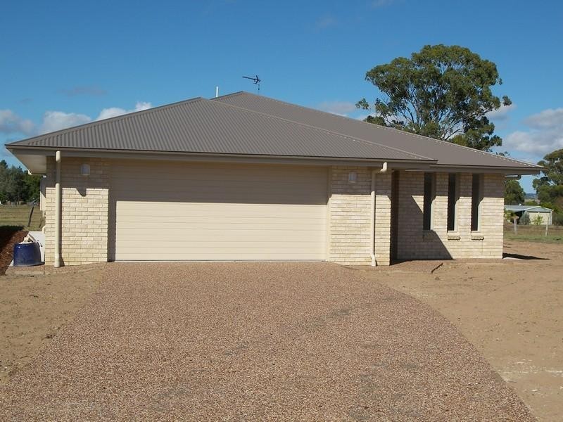
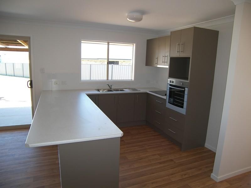
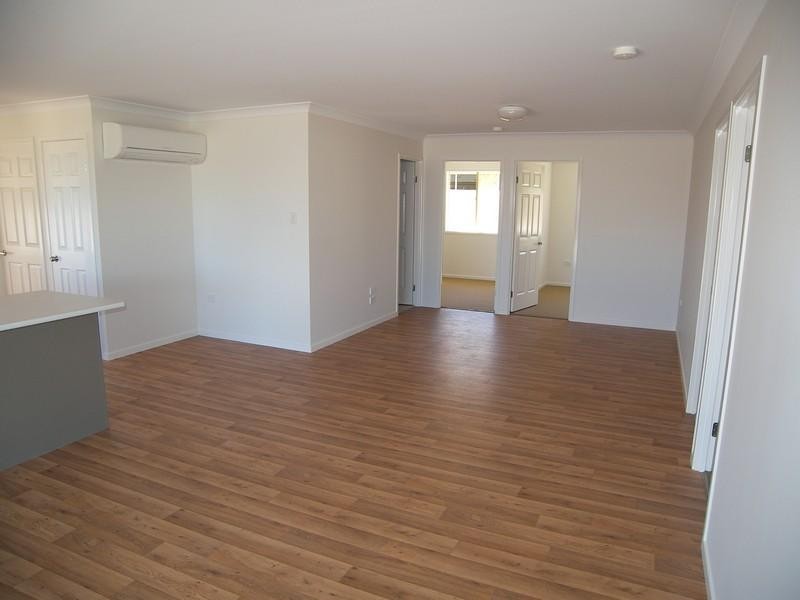
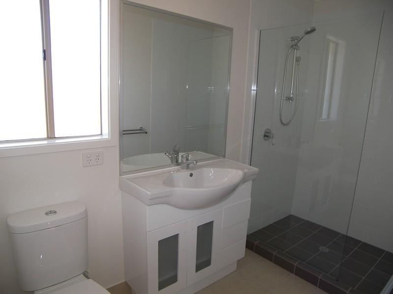
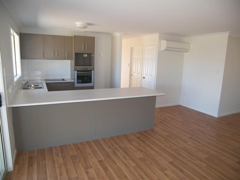
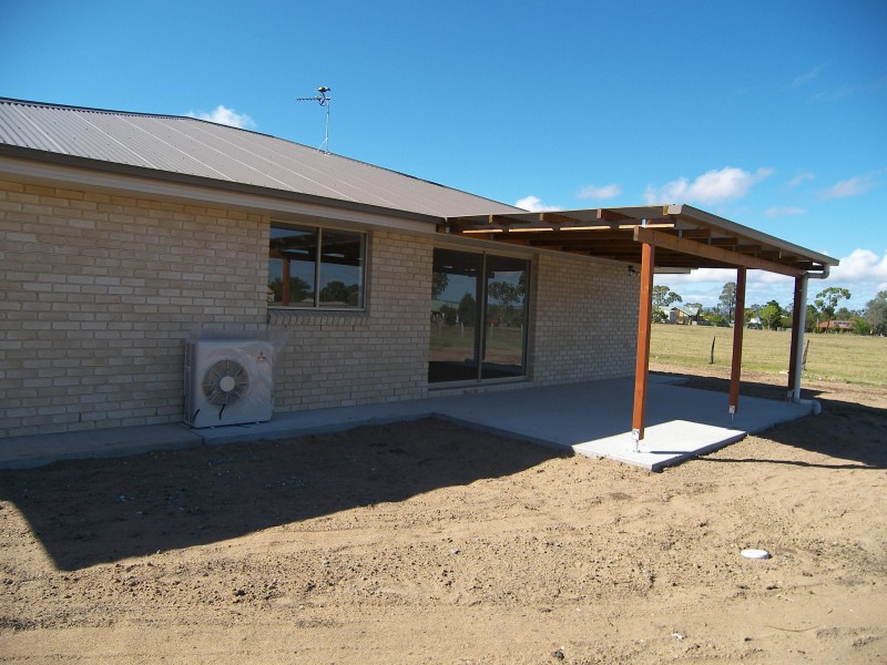
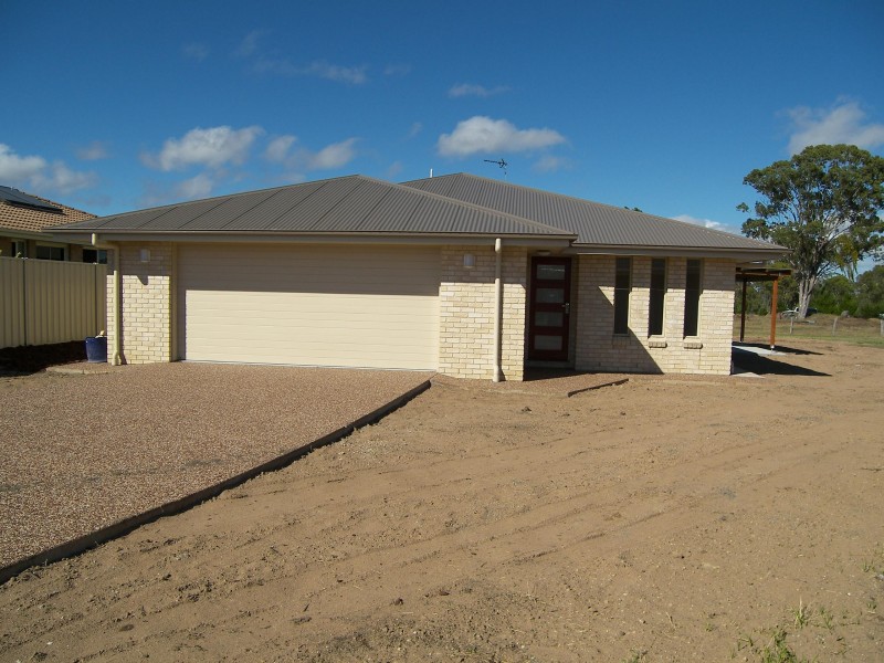
There are approximately 17,238 people living in Warwick but… who are they?
40
48%
52%
Suburb Stats
$884/WK
$215/WK
$325/WK
Value of property in Warwick and nearby suburbs
Warwick
Taroom
Eidsvold
Hazeldean
Average Home Price$314,784Average Rental Price$252Household Size2.5
Average Home Price$246,406Average Rental Price$567Household Size2.3
Average Home Price$103,500Average Rental Price$188Household Size2.3
Average Home Price$505,857Average Rental Price$461Household Size2.5
Water Useper year per person
0.62mln. litres
State Average 0.68 mln. litres
Nat. Average 0.74 mln. litres
Greenhouse Pollutionper year per person
17.3tonnes
State Average 18.38 tonnes
Nat. Average 20.3 tonnes
Dwelling Types
91%
6%
2%
Most Common Suburb Professions
16% Labourers…
14% Technicia…
13% Managers…
12% Clerical…
Nearby shopping: village shopping centre, rose city shopping world centre management
Nearby schools: australian college of phytotherapy pty ltd, glennie heights state school, warwick community kindergarten, a country garden early childhood centres
Nearby cafes: brysons place, the cherry tree coffee & dining, char-belas restaurant
Nearby doctors: condamine medical centre - dr john kiss, warwick dental, dr toby cohen, firm foundations podiatry
Nearby hospitals: condamine medical centre, southern downs district health services
Nearby cinemas: warwick twin cinema
Nearby pharmacies: discount drug store, warwick friendly society pharmacies, john duggan amcal chemist, warwick friendly society pharmacy
Nearby police stations: warwick police station
Nearby parks: victoria park, hamilton oval, warwick bowling club inc, tullock park
Nearby restaurants: domino's pizza warwick, palms on palmerin, brysons place, warwick rsl services & citizens memorial club