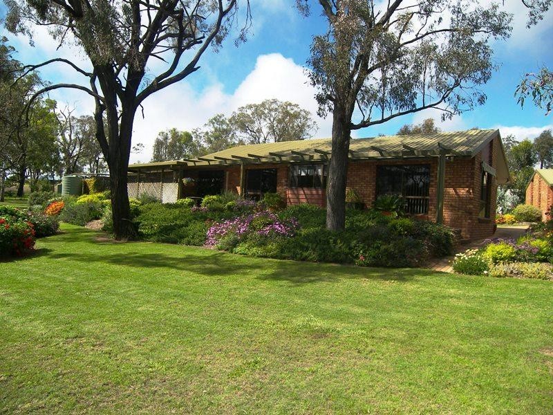
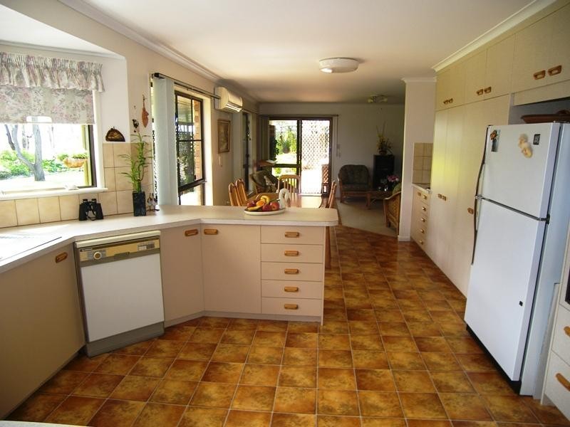
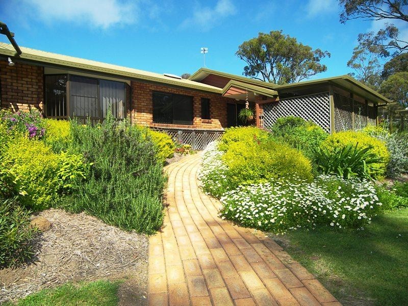
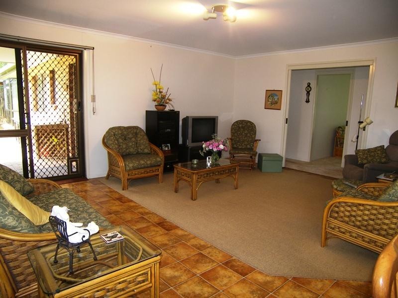
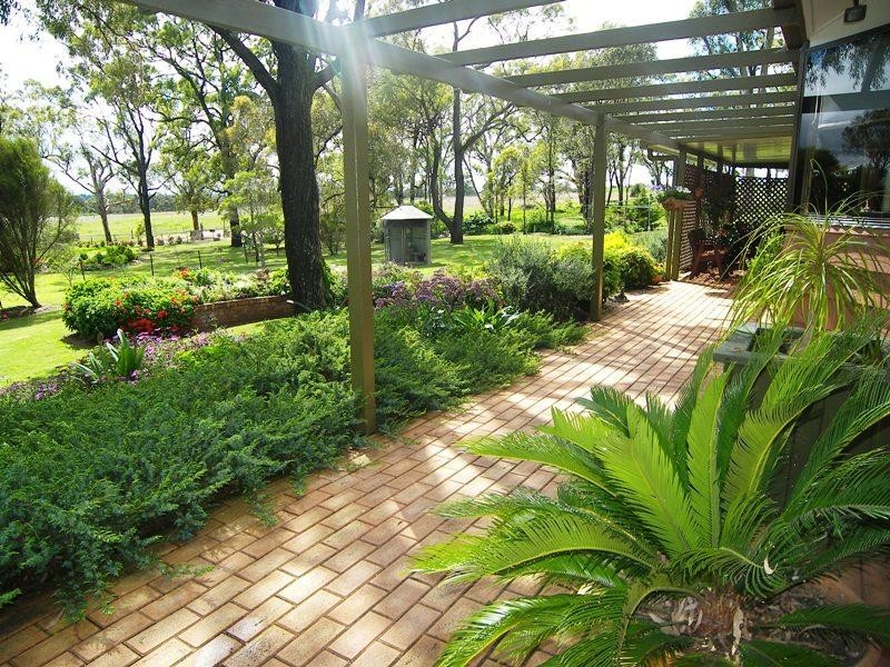
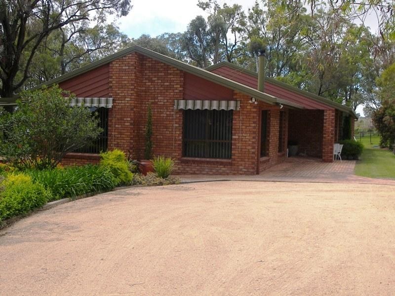
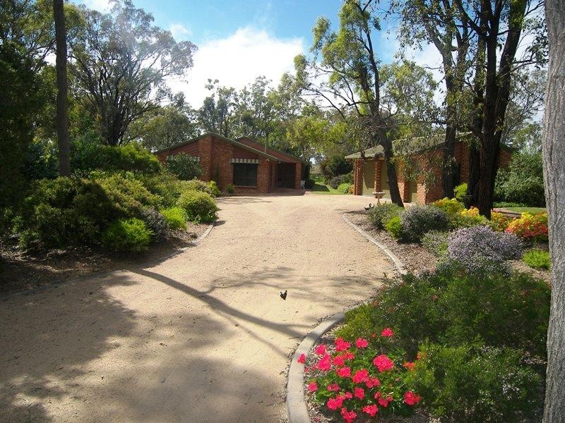
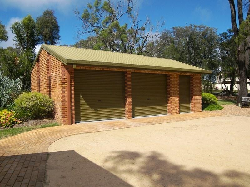
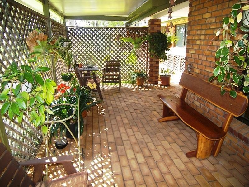
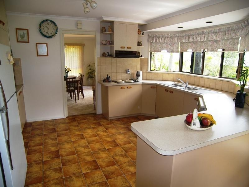
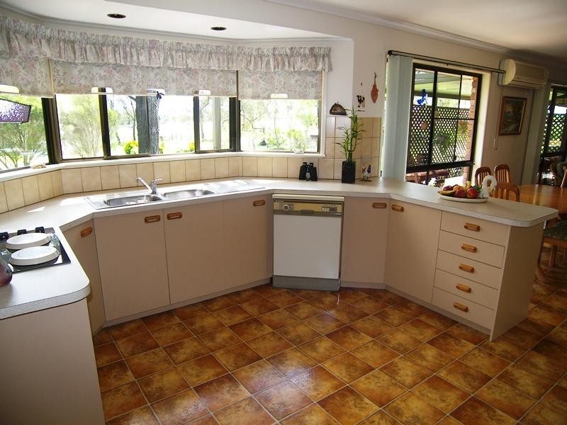
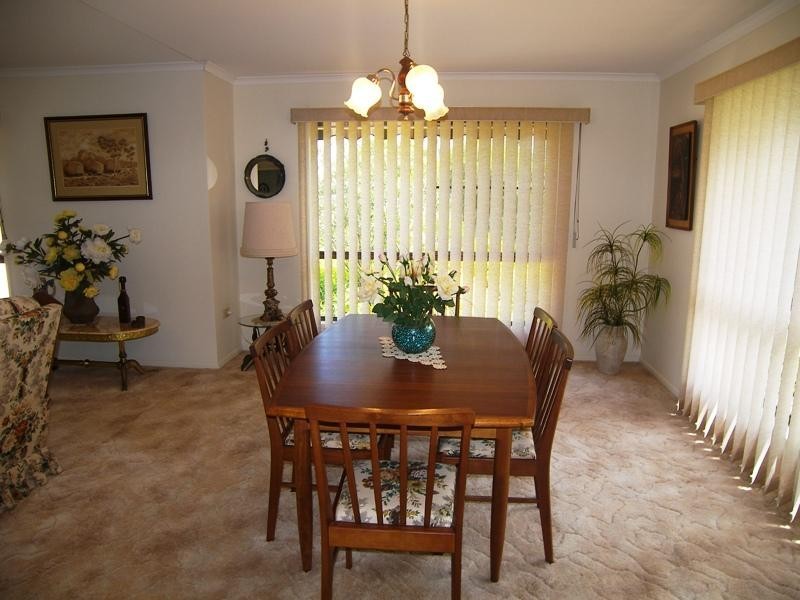
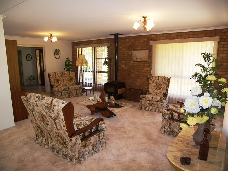
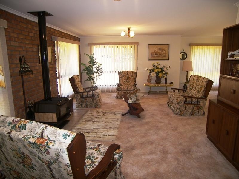
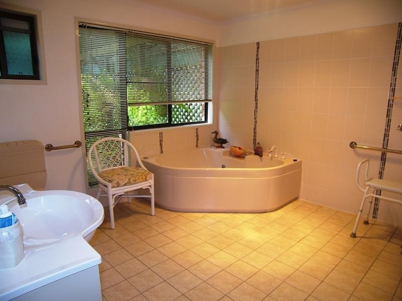
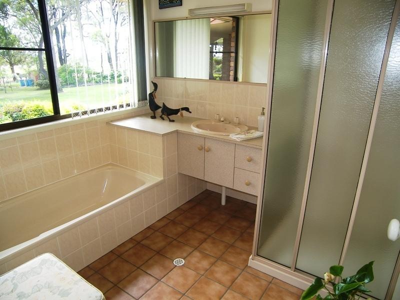
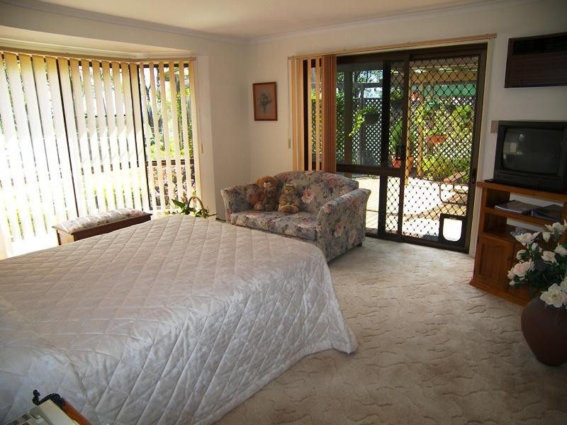
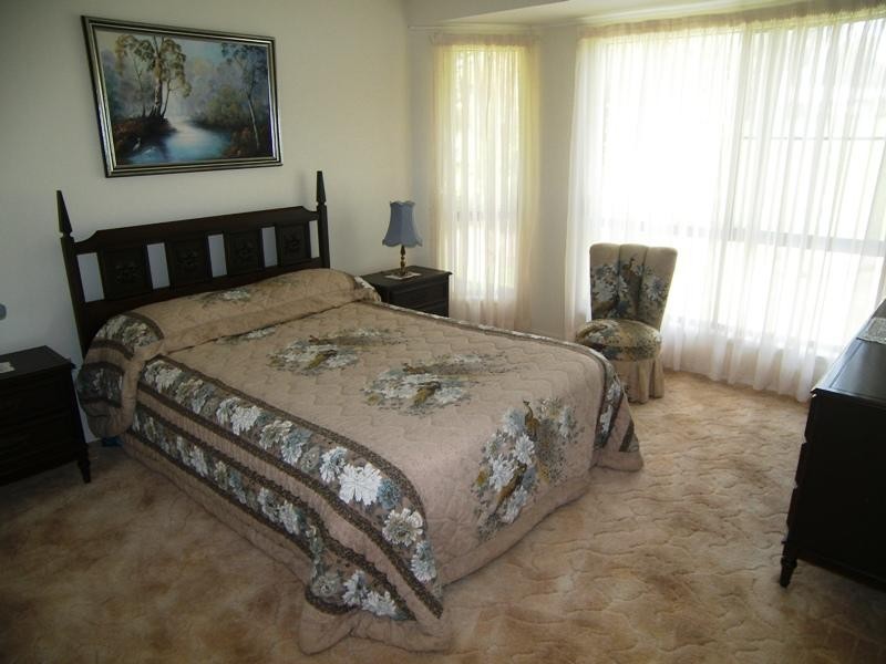
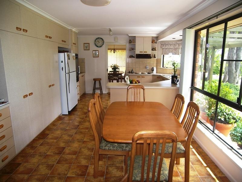
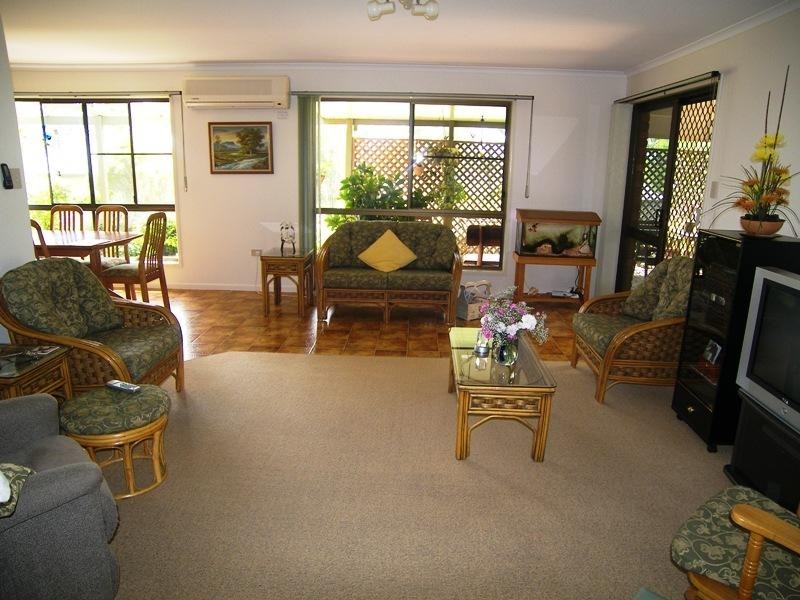
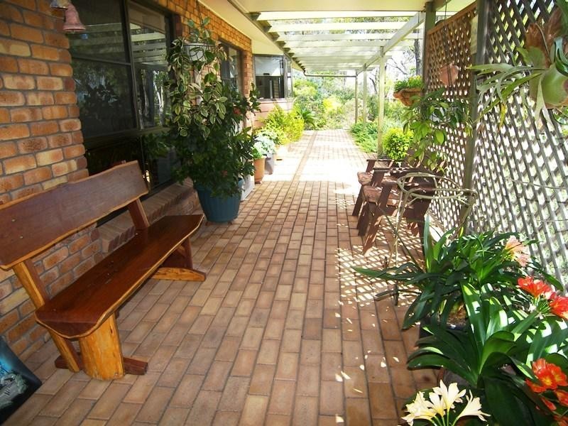
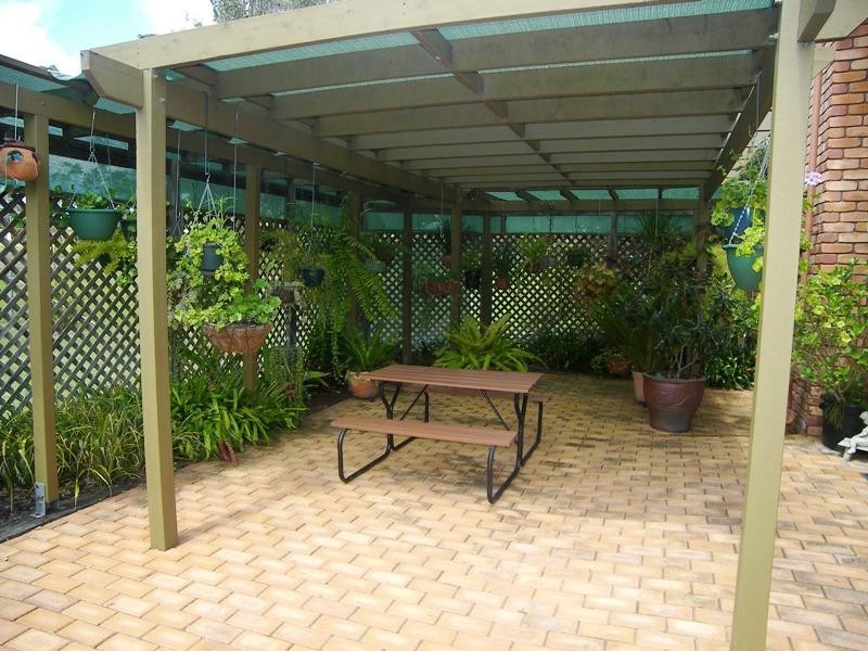
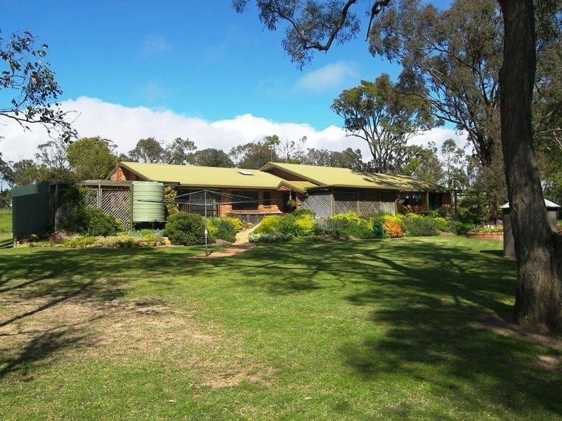
There are approximately 17,238 people living in Warwick but… who are they?
40
48%
52%
Suburb Stats
$884/WK
$215/WK
$325/WK
Value of property in Warwick and nearby suburbs
Warwick
Berat
Pratten
Stockleigh
Average Home Price$314,784Average Rental Price$252Household Size2.5
Average Home Price$0Average Rental Price$0Household Size2.5
Average Home Price$279,167Average Rental Price$236Household Size2.5
Average Home Price$567,645Average Rental Price$422Household Size3.2
Water Useper year per person
0.62mln. litres
State Average 0.68 mln. litres
Nat. Average 0.74 mln. litres
Greenhouse Pollutionper year per person
17.3tonnes
State Average 18.38 tonnes
Nat. Average 20.3 tonnes
Dwelling Types
91%
6%
2%
Most Common Suburb Professions
16% Labourers…
14% Technicia…
13% Managers…
12% Clerical…
Nearby shopping: rose city shopping world centre management, village shopping centre
Nearby schools: warwick central school, warwick state high school, glennie heights state school, warwick community kindergarten
Nearby cafes: brysons place, char-belas restaurant, the cherry tree coffee & dining
Nearby doctors: firm foundations podiatry, queensland vascular: dr toby cohen, warwick dental, condamine medical centre - dr john kiss
Nearby hospitals: condamine medical centre, southern downs district health services
Nearby cinemas: warwick twin cinema
Nearby pharmacies: warwick friendly society pharmacy, john duggan amcal chemist, warwick friendly society pharmacies, discount drug store
Nearby police stations: warwick police station
Nearby parks: hamilton oval, leslie park, victoria park, warwick bowling club inc
Nearby restaurants: red rooster warwick rose city foodcourt, the cherry tree coffee & dining, brysons place, warwick rsl services & citizens memorial club