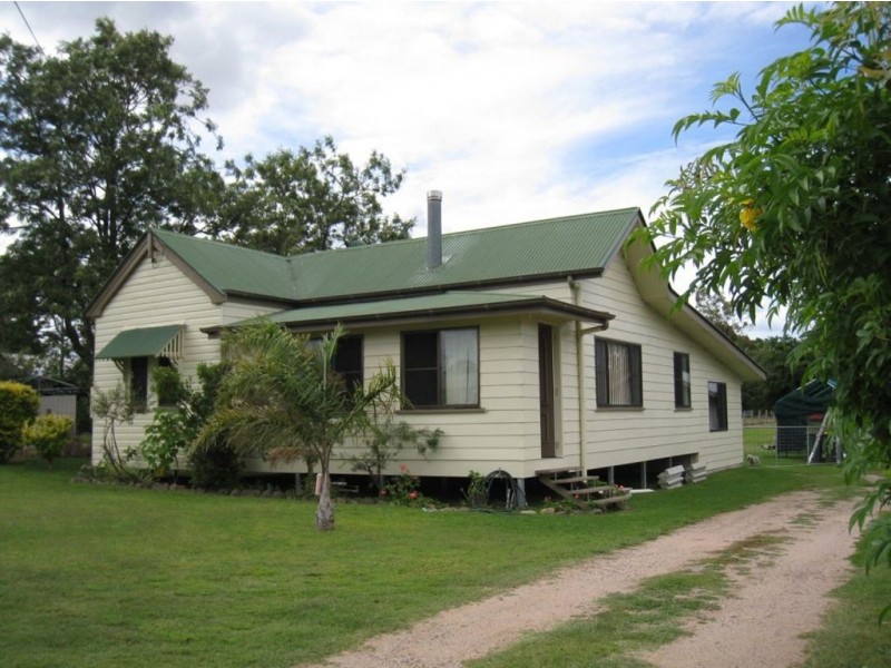
There are approximately 17,238 people living in Warwick but… who are they?
40
48%
52%
Suburb Stats
$884/WK
$215/WK
$325/WK
Value of property in Warwick and nearby suburbs
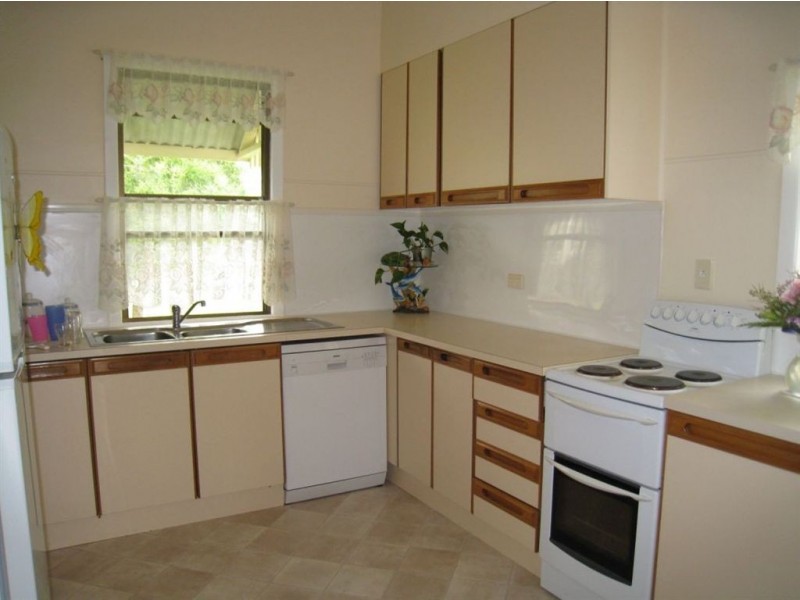
Warwick
Bald Knob
Veresdale
St George
Average Home Price$314,784Average Rental Price$252Household Size2.5
Average Home Price$1,036,429Average Rental Price$363Household Size2.3
Average Home Price$521,500Average Rental Price$403Household Size2.8
Average Home Price$313,692Average Rental Price$312Household Size2.7
Water Useper year per person
0.62mln. litres
State Average 0.68 mln. litres
Nat. Average 0.74 mln. litres
Greenhouse Pollutionper year per person
17.3tonnes
State Average 18.38 tonnes
Nat. Average 20.3 tonnes
Dwelling Types
91%
6%
2%
Most Common Suburb Professions
16% Labourers…
14% Technicia…
13% Managers…
12% Clerical…
Nearby shopping: rose city shopping world centre management, village shopping centre
Nearby schools: a country garden early childhood centres, australian college of phytotherapy pty ltd, glennie heights state school, st mary's primary school
Nearby cafes: the cherry tree coffee & dining, char-belas restaurant, brysons place
Nearby doctors: condamine medical centre - dr ross hetherington, condamine medical centre - dr evan ackermann, friendly feet podiatry, condamine medical centre - dr john kiss
Nearby hospitals: condamine medical centre, southern downs district health services
Nearby cinemas: warwick twin cinema
Nearby pharmacies: warwick friendly society pharmacy, discount drug store, warwick friendly society pharmacies, john duggan amcal chemist
Nearby police stations: warwick police station
Nearby parks: tullock park, hamilton oval, kahlers oasis caravan park, australiana park
Nearby restaurants: the cherry tree coffee & dining, shalimar indian restaurant, eagle boys pizza, palms on palmerin