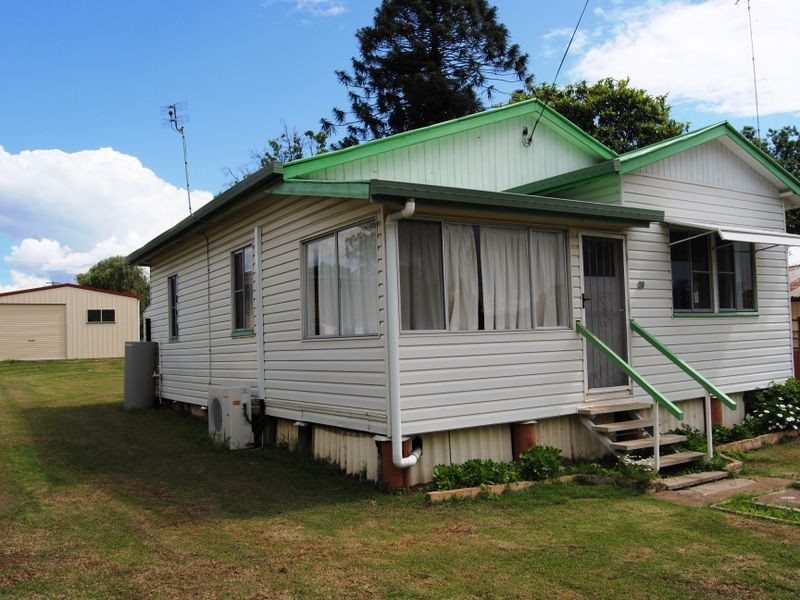
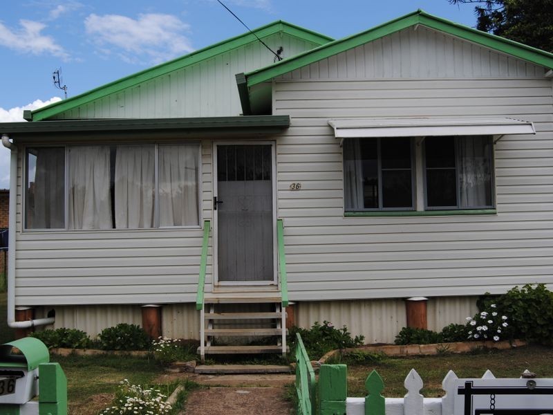
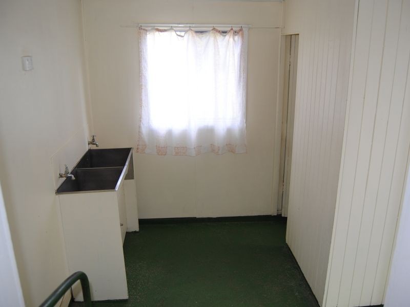
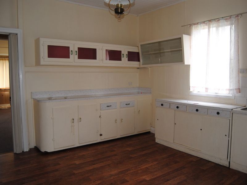
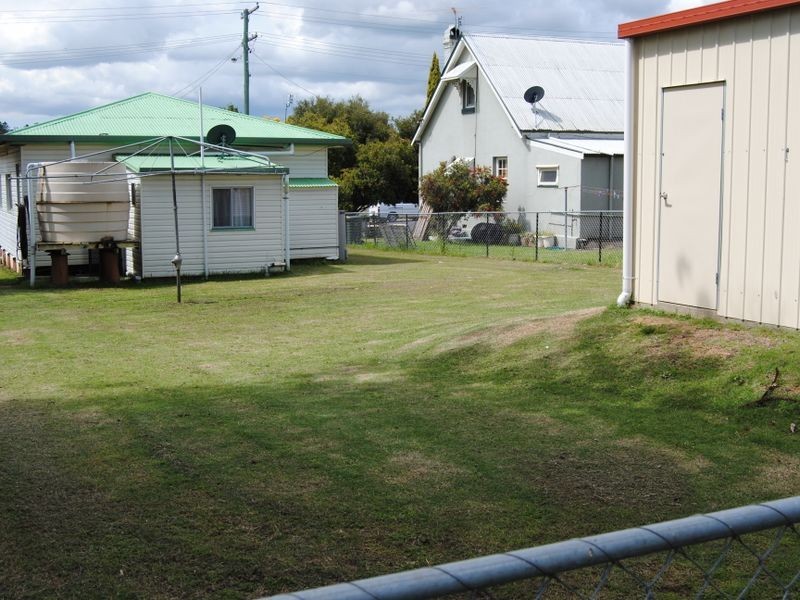
There are approximately 17,238 people living in Warwick but… who are they?
40
48%
52%
Suburb Stats
$884/WK
$215/WK
$325/WK
Value of property in Warwick and nearby suburbs
Warwick
Hazeldean
Roma
Bald Knob
Average Home Price$314,784Average Rental Price$252Household Size2.5
Average Home Price$505,857Average Rental Price$461Household Size2.5
Average Home Price$369,082Average Rental Price$382Household Size2.6
Average Home Price$1,036,429Average Rental Price$363Household Size2.3
Water Useper year per person
0.62mln. litres
State Average 0.68 mln. litres
Nat. Average 0.74 mln. litres
Greenhouse Pollutionper year per person
17.3tonnes
State Average 18.38 tonnes
Nat. Average 20.3 tonnes
Dwelling Types
91%
6%
2%
Most Common Suburb Professions
16% Labourers…
14% Technicia…
13% Managers…
12% Clerical…
Nearby shopping: rose city shopping world centre management, village shopping centre
Nearby schools: killarney school of dance, warwick state high school, glennie heights preschool, warwick central school
Nearby cafes: the cherry tree coffee & dining, brysons place, char-belas restaurant
Nearby doctors: condamine medical centre-dr lynton hudson, condamine medical centre - dr aleta slattery, condamine medical centre - dr john kiss, guy street dental
Nearby hospitals: condamine medical centre, southern downs district health services
Nearby cinemas: warwick twin cinema
Nearby pharmacies: warwick friendly society pharmacies, discount drug store, warwick friendly society pharmacy, john duggan amcal chemist
Nearby police stations: warwick police station
Nearby parks: leslie park, tullock park, hamilton oval, australiana park
Nearby restaurants: eagle boys pizza, the cherry tree coffee & dining, hungry jack's warwrick, kfc warwick