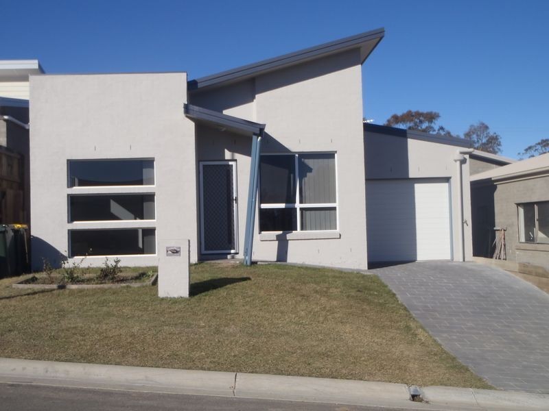
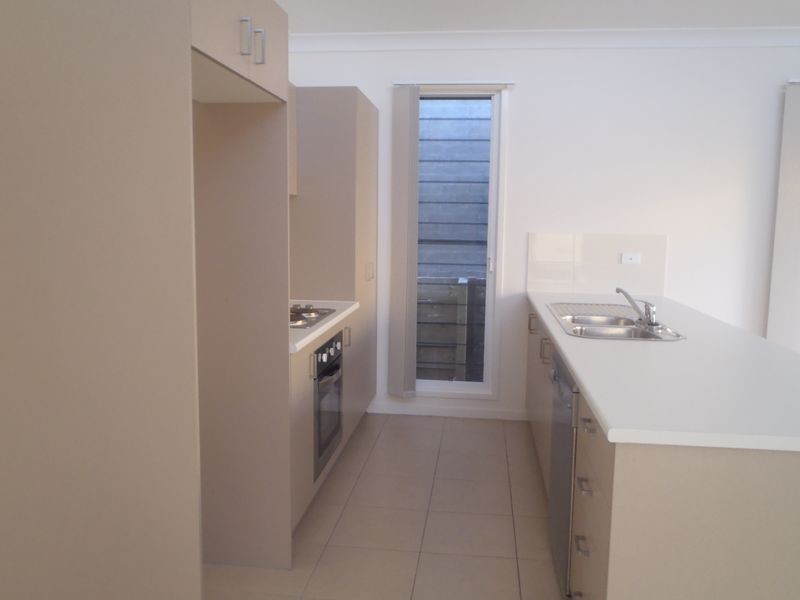
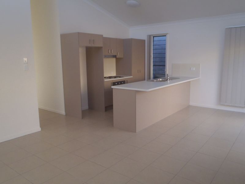
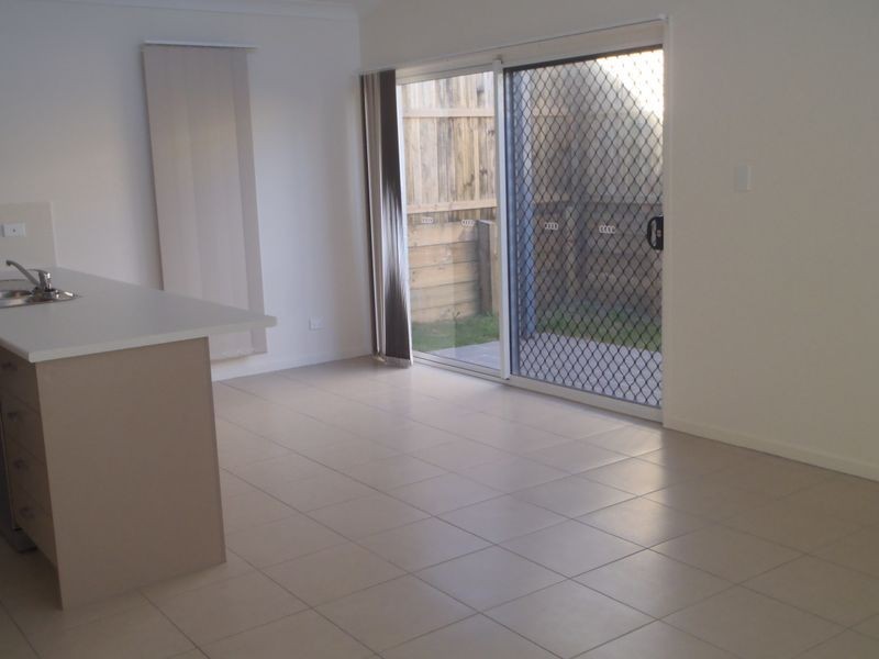
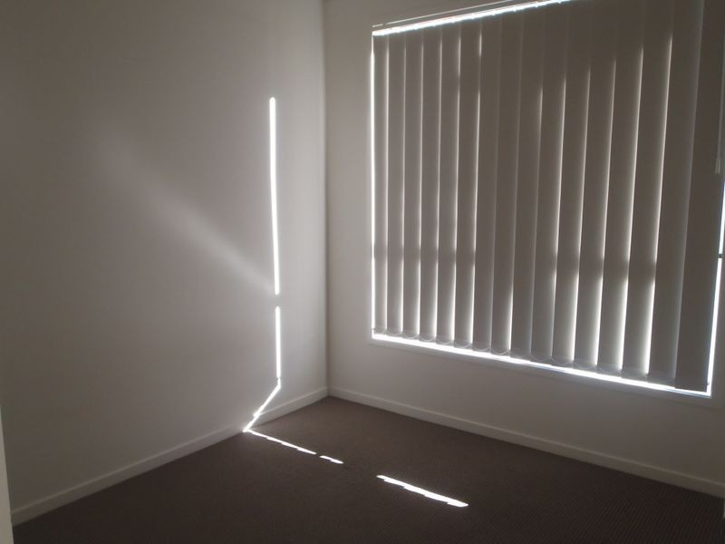
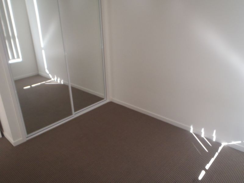
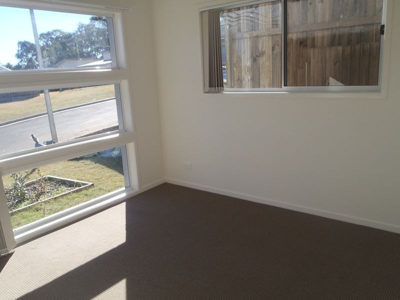
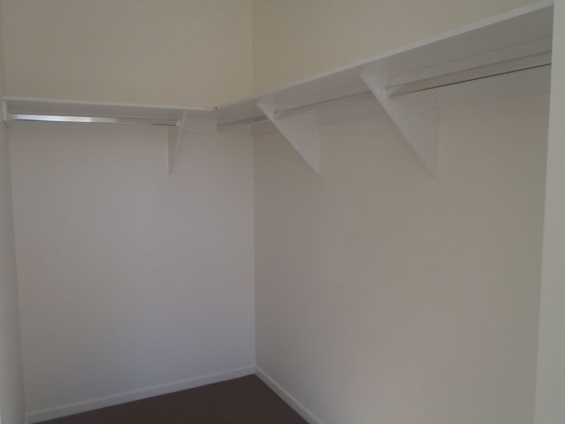
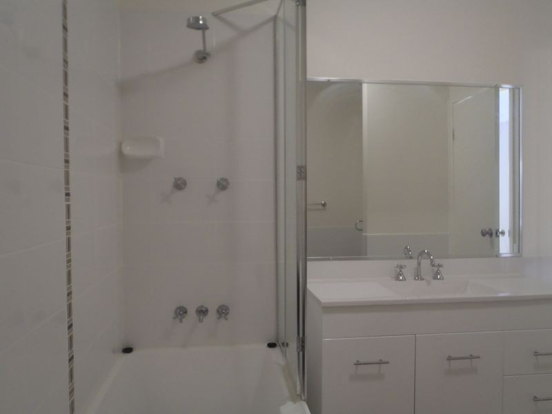
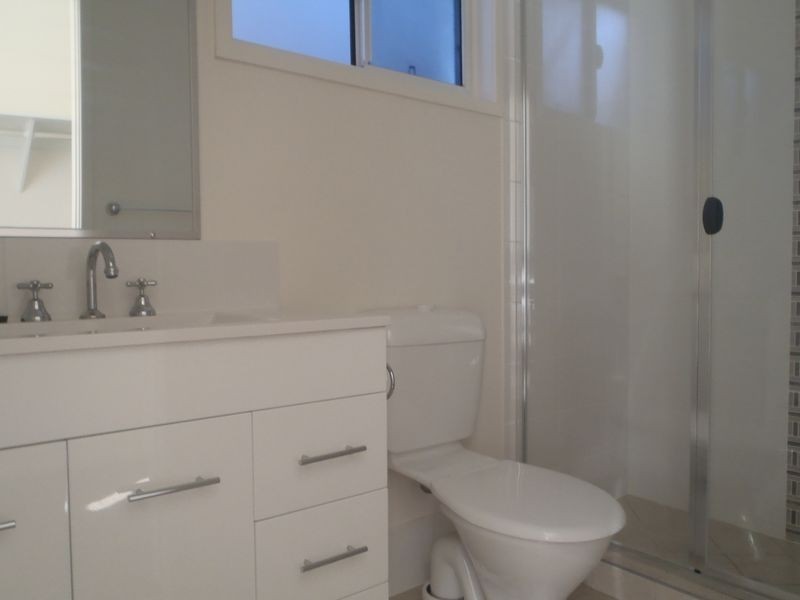
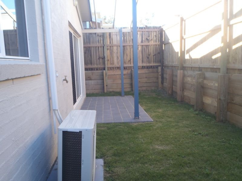
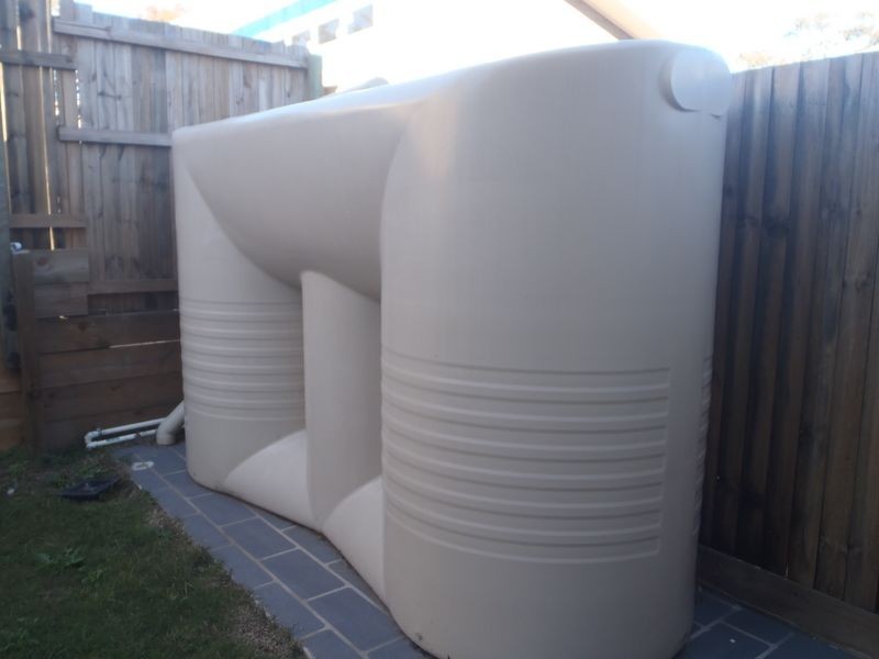
There are approximately 17,238 people living in Warwick but… who are they?
40
48%
52%
Suburb Stats
$884/WK
$215/WK
$325/WK
Value of property in Warwick and nearby suburbs
Warwick
Stockleigh
Bald Knob
Gungaloon
Average Home Price$314,784Average Rental Price$252Household Size2.5
Average Home Price$567,645Average Rental Price$422Household Size3.2
Average Home Price$1,036,429Average Rental Price$363Household Size2.3
Average Home Price$199,000Average Rental Price$0Household Size2.4
Water Useper year per person
0.62mln. litres
State Average 0.68 mln. litres
Nat. Average 0.74 mln. litres
Greenhouse Pollutionper year per person
17.3tonnes
State Average 18.38 tonnes
Nat. Average 20.3 tonnes
Dwelling Types
91%
6%
2%
Most Common Suburb Professions
16% Labourers…
14% Technicia…
13% Managers…
12% Clerical…
Nearby shopping: village shopping centre, rose city shopping world centre management
Nearby schools: australian college of phytotherapy pty ltd, a country garden early childhood centres, killarney school of dance, glennie heights state school
Nearby cafes: the cherry tree coffee & dining, char-belas restaurant, brysons place
Nearby doctors: condamine medical centre - dr louise clarke, condamine medical centre - dr john kiss, friendly feet podiatry, condamine medical centre-dr lynton hudson
Nearby hospitals: southern downs district health services, condamine medical centre
Nearby cinemas: warwick twin cinema
Nearby pharmacies: warwick friendly society pharmacies, discount drug store, john duggan amcal chemist, warwick friendly society pharmacy
Nearby police stations: warwick police station
Nearby parks: tullock park, leslie park, warwick bowling club inc, hamilton oval
Nearby restaurants: palms on palmerin, the cherry tree coffee & dining, brysons place, hungry jack's warwrick