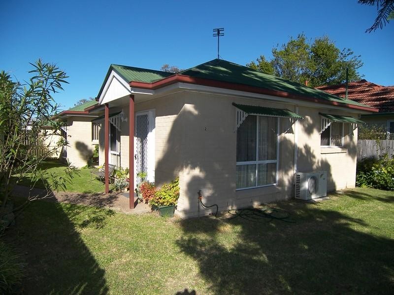
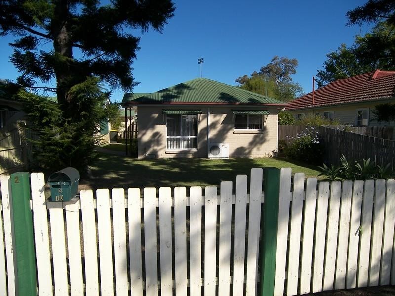
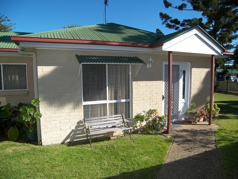
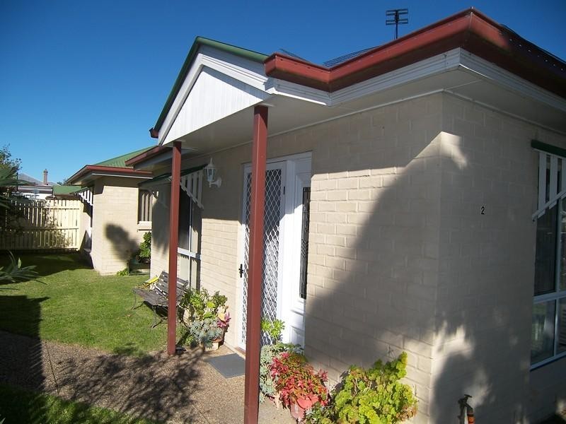
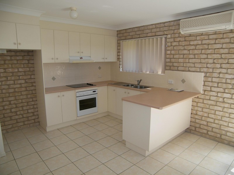
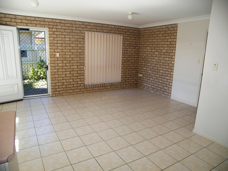
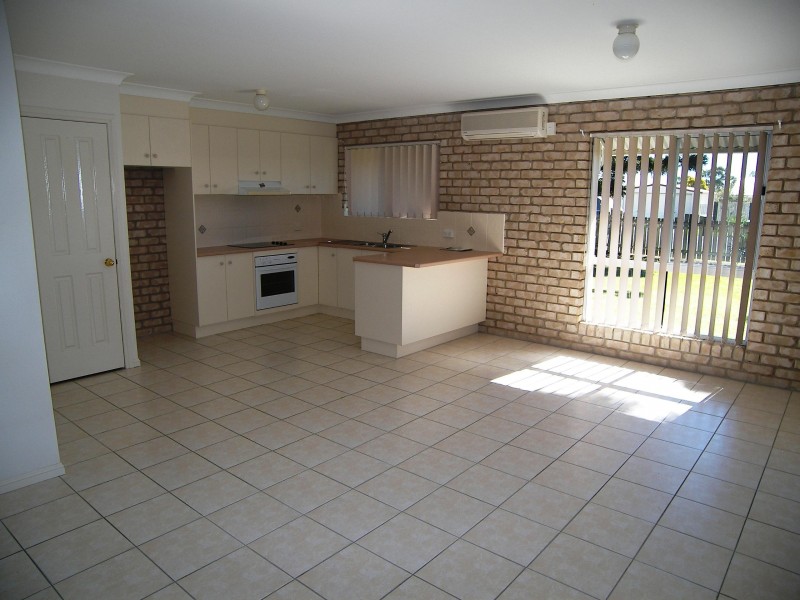
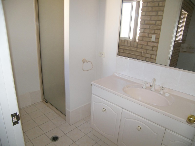
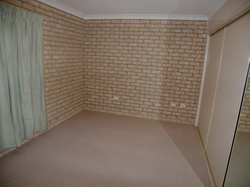
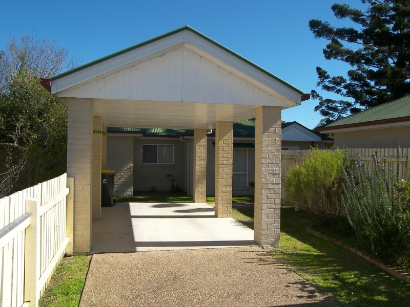
There are approximately 17,238 people living in Warwick but… who are they?
40
48%
52%
Suburb Stats
$884/WK
$215/WK
$325/WK
Value of property in Warwick and nearby suburbs
Warwick
Birnam
Millmerran Woods
Cedar Grove
Average Home Price$314,784Average Rental Price$252Household Size2.5
Average Home Price$0Average Rental Price$452Household Size2.8
Average Home Price$167,500Average Rental Price$0Household Size2.5
Average Home Price$458,327Average Rental Price$747Household Size2.8
Water Useper year per person
0.62mln. litres
State Average 0.68 mln. litres
Nat. Average 0.74 mln. litres
Greenhouse Pollutionper year per person
17.3tonnes
State Average 18.38 tonnes
Nat. Average 20.3 tonnes
Dwelling Types
91%
6%
2%
Most Common Suburb Professions
16% Labourers…
14% Technicia…
13% Managers…
12% Clerical…
Nearby shopping: rose city shopping world centre management, village shopping centre
Nearby schools: st mary's primary school, warwick community kindergarten, australian college of phytotherapy pty ltd, a country garden early childhood centres
Nearby cafes: brysons place, char-belas restaurant, the cherry tree coffee & dining
Nearby doctors: doolan d, queensland vascular: dr toby cohen, condamine medical centre - dr ross hetherington, condamine medical centre - dr evan ackermann
Nearby hospitals: condamine medical centre, southern downs district health services
Nearby cinemas: warwick twin cinema
Nearby pharmacies: discount drug store, warwick friendly society pharmacy, john duggan amcal chemist, warwick friendly society pharmacies
Nearby police stations: warwick police station
Nearby parks: tullock park, leslie park, warwick bowling club inc, kahlers oasis caravan park
Nearby restaurants: palms on palmerin, mango camping, warwick rsl services & citizens memorial club, char-belas restaurant