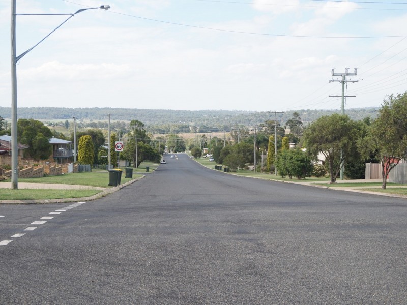
There are approximately 17,238 people living in Warwick but… who are they?
40
48%
52%
Suburb Stats
$884/WK
$215/WK
$325/WK
Value of property in Warwick and nearby suburbs
Warwick
Miles
Eidsvold
Pratten
Average Home Price$314,784Average Rental Price$252Household Size2.5
Average Home Price$349,678Average Rental Price$627Household Size2.4
Average Home Price$103,500Average Rental Price$188Household Size2.3
Average Home Price$279,167Average Rental Price$236Household Size2.5
Water Useper year per person
0.62mln. litres
State Average 0.68 mln. litres
Nat. Average 0.74 mln. litres
Greenhouse Pollutionper year per person
17.3tonnes
State Average 18.38 tonnes
Nat. Average 20.3 tonnes
Dwelling Types
91%
6%
2%
Most Common Suburb Professions
16% Labourers…
14% Technicia…
13% Managers…
12% Clerical…
Nearby shopping: village shopping centre, rose city shopping world centre management
Nearby schools: glennie heights preschool, glennie heights state school, warwick christian college, killarney school of dance
Nearby cafes: brysons place, char-belas restaurant, the cherry tree coffee & dining
Nearby doctors: dr toby cohen, condamine medical centre - dr ross hetherington, condamine medical centre - dr evan ackermann, condamine medical centre-dr lynton hudson
Nearby hospitals: condamine medical centre, southern downs district health services
Nearby cinemas: warwick twin cinema
Nearby pharmacies: john duggan amcal chemist, warwick friendly society pharmacies, warwick friendly society pharmacy, discount drug store
Nearby police stations: warwick police station
Nearby parks: hamilton oval, leslie park, australiana park, tullock park
Nearby restaurants: the cherry tree coffee & dining, palms on palmerin, shalimar indian restaurant, red rooster warwick rose city foodcourt