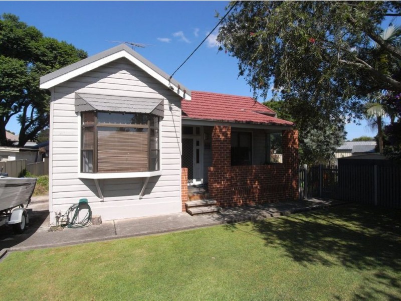
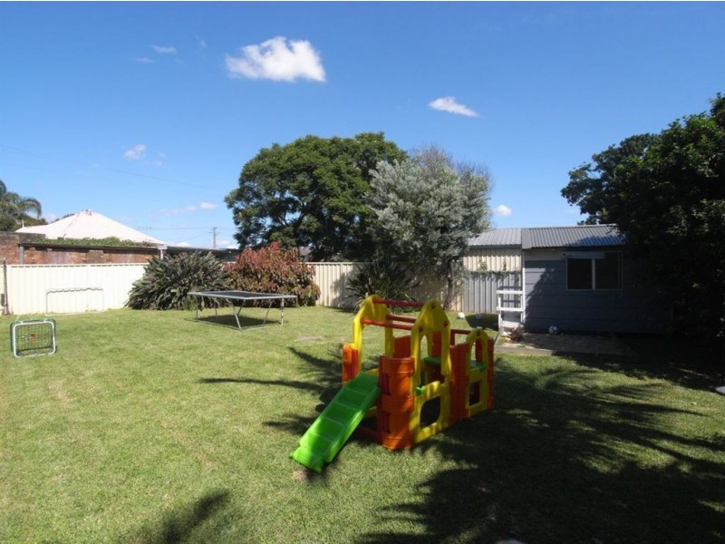
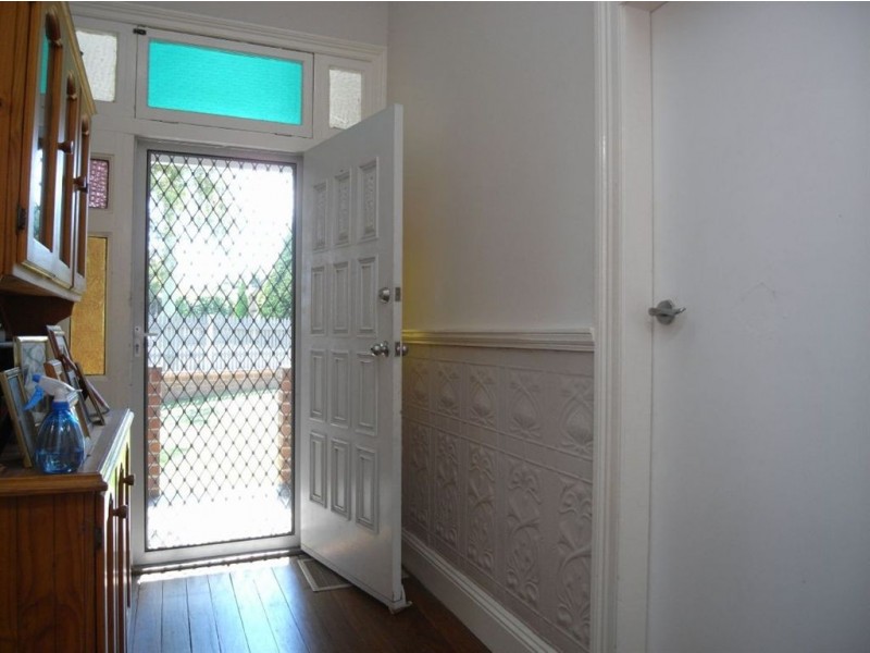
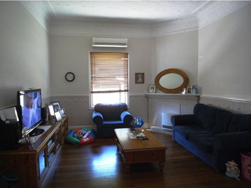
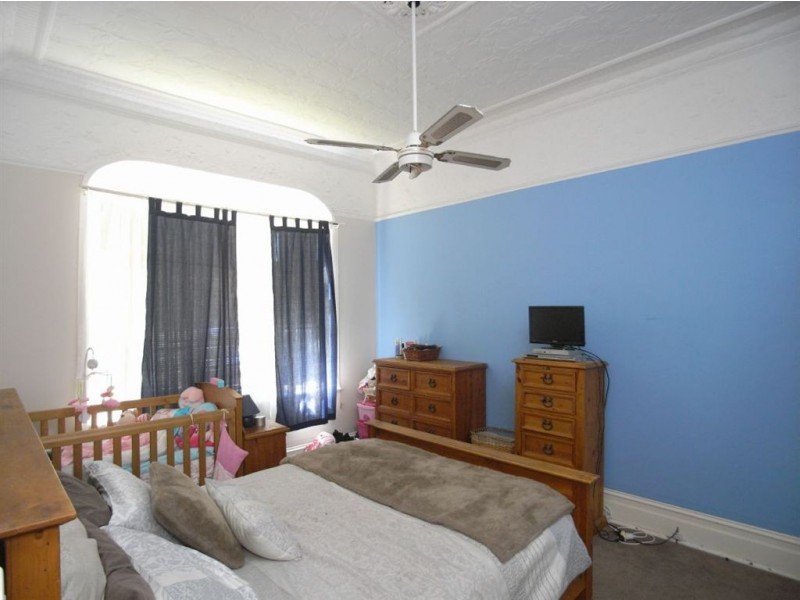
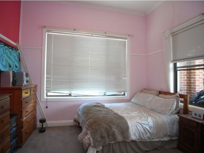
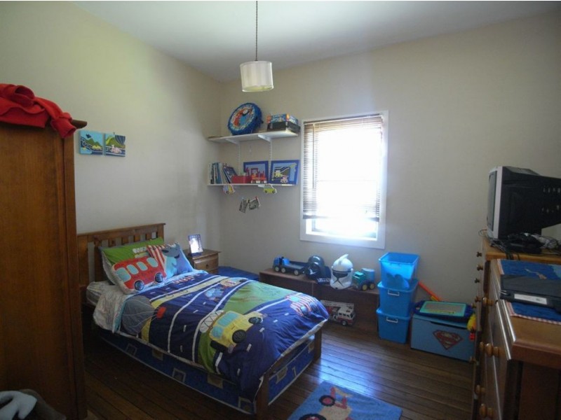
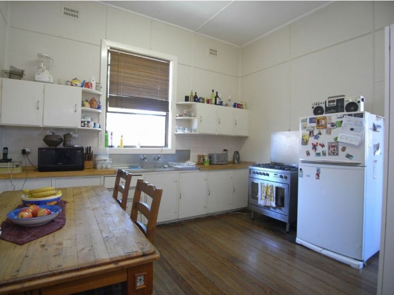
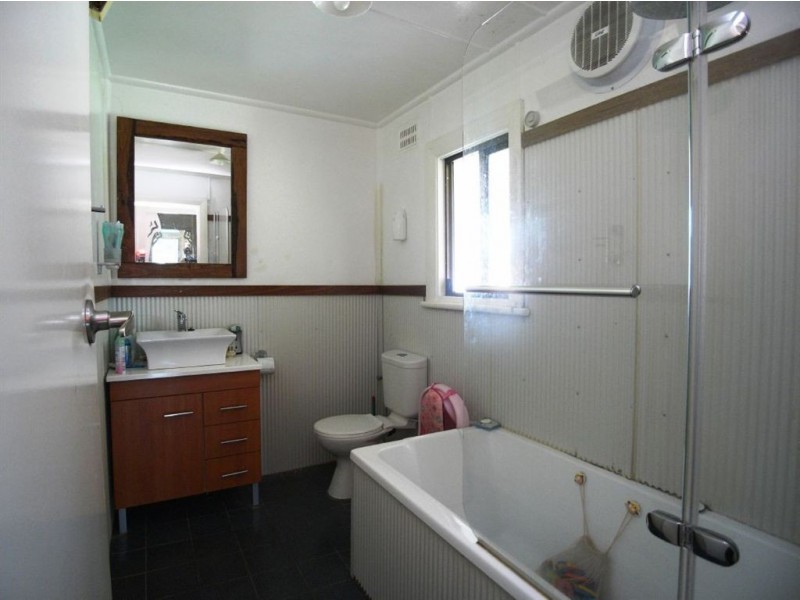
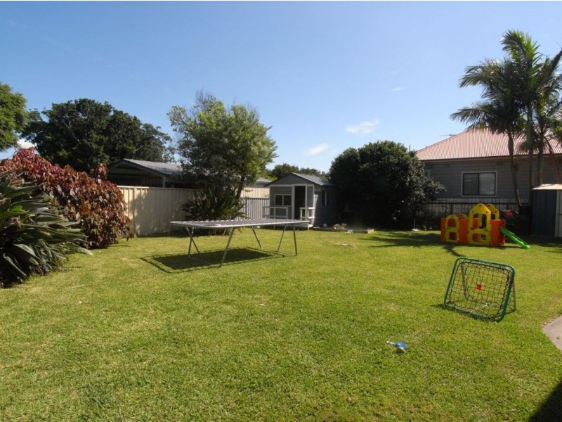
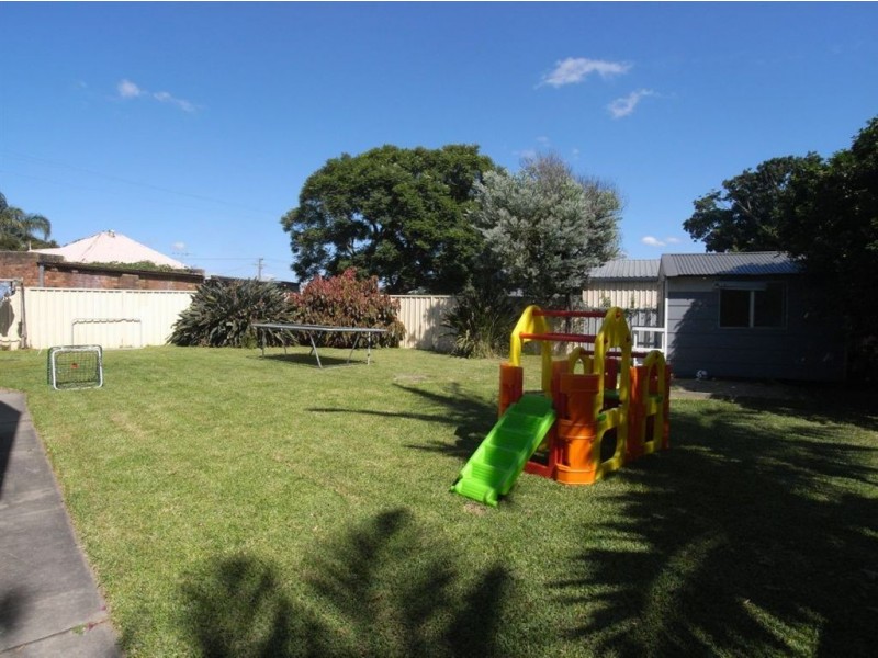
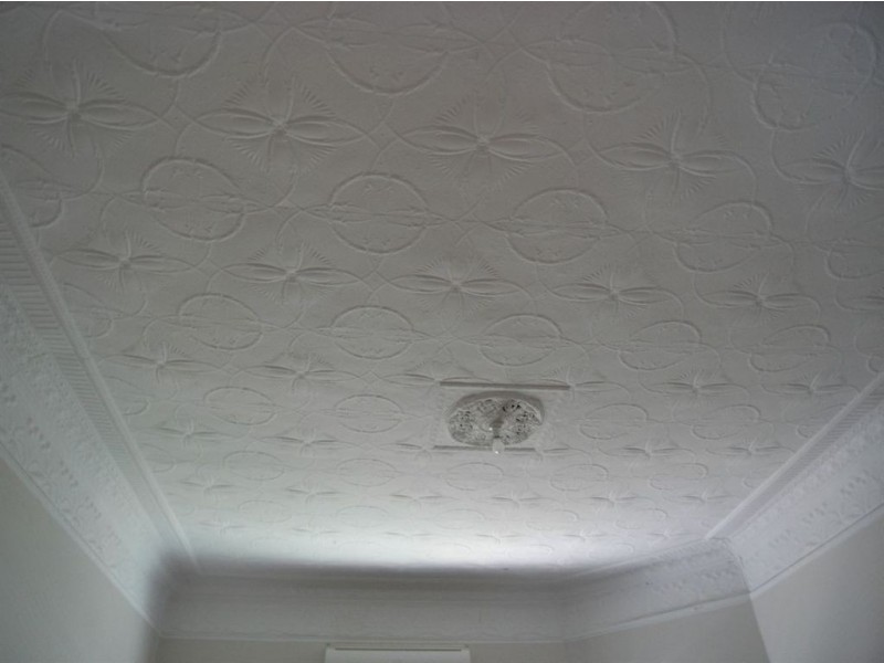
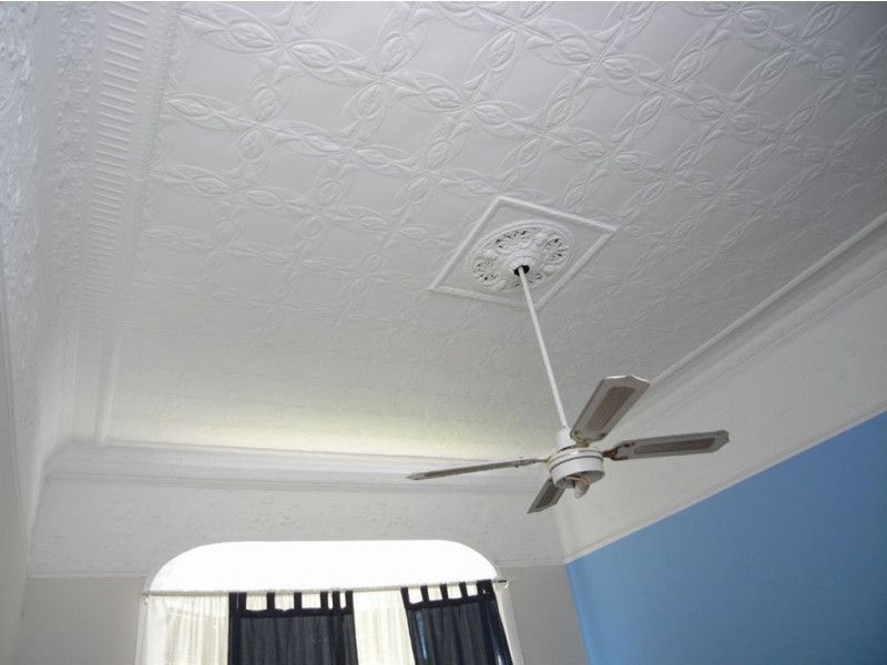
There are approximately 4,234 people living in Mayfield but… who are they?
41
52%
48%
Suburb Stats
$969/WK
$170/WK
$380/WK
Value of property in Mayfield and nearby suburbs
Mayfield
Cardiff Heights
Whitebridge
Broadmeadow
Average Home Price$448,368Average Rental Price$334Household Size2.4
Average Home Price$502,447Average Rental Price$359Household Size2.6
Average Home Price$518,745Average Rental Price$374Household Size2.5
Average Home Price$533,591Average Rental Price$342Household Size2.2
Water Useper year per person
0.6mln. litres
State Average 0.74 mln. litres
Nat. Average 0.74 mln. litres
Greenhouse Pollutionper year per person
16.65tonnes
State Average 19.31 tonnes
Nat. Average 20.3 tonnes
Dwelling Types
95%
3%
1%
Most Common Suburb Professions
17% Technicia…
17% Managers…
15% Machinery…
14% Labourers…
Nearby shopping: warabrook
Nearby schools: st dominic's centre, verto, st columban's primary school, dale christian school
Nearby cafes: tasty bites cafe, gloria jean's coffees, new castle hand carwash cafe, ying king cafe
Nearby doctors: mayfield family podiatry, hanbury street family practice-tang stanley, dr rita singh family practice - rita singh, surgical practice waratah
Nearby hospitals: mayfield medical connection, william lyne day hospital, mayfield podiatry clinic - newcastle
Nearby pharmacies: jon dickson pharmacy, warabrook pharmacy, georgetown pharmacy
Nearby police stations: waratah police station
Nearby parks: cameron park, islington park, litchfield park, no.2 oval
Nearby restaurants: sovereign inn newcastle motel, the gateway inn newcastle, kfc mayfield, domino's pizza mayfield