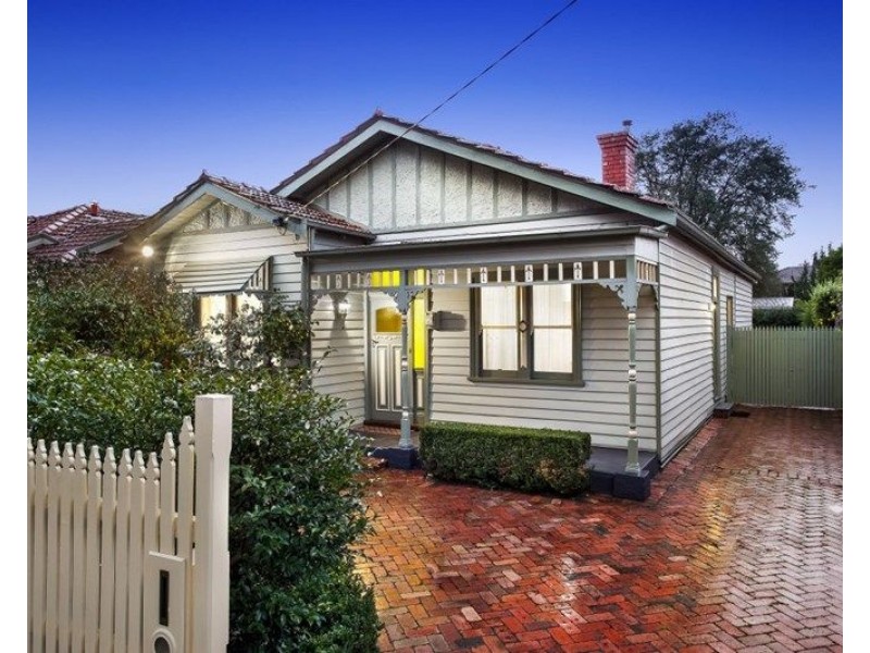
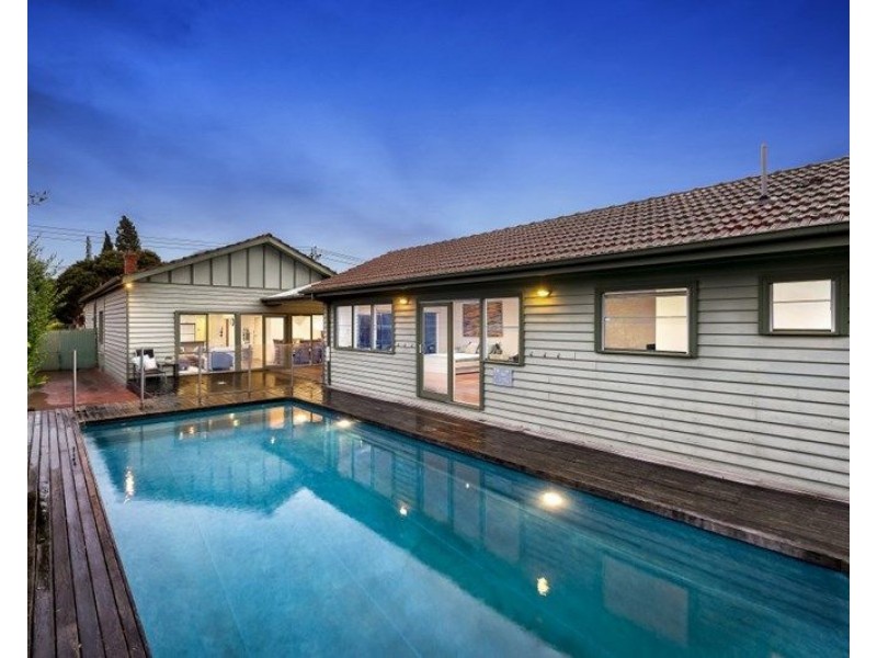
There are approximately 29,553 people living in Carnegie but… who are they?
34
49%
51%
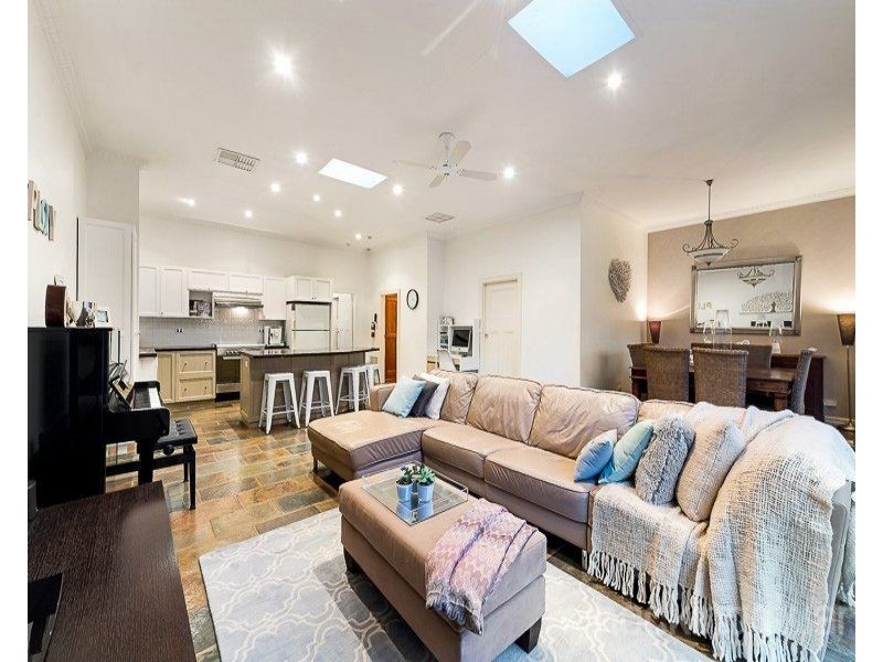
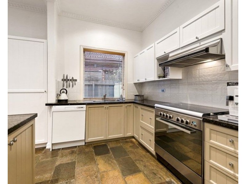
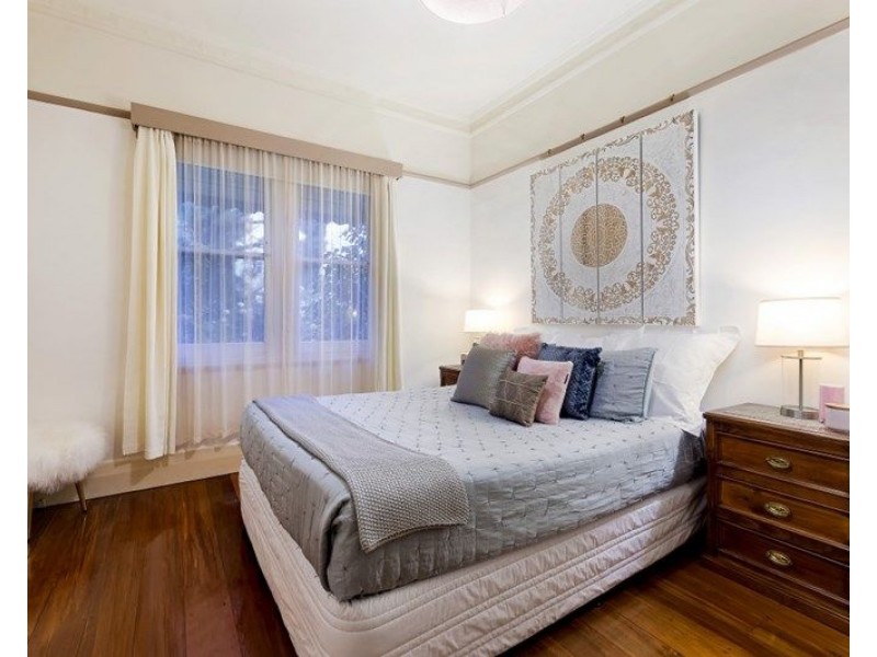
Suburb Stats
$1287/WK
$300/WK
$500/WK
Value of property in Carnegie and nearby suburbs
Carnegie
Doncaster
Box Hill North
Balwyn
Average Home Price$584,297Average Rental Price$384Household Size2.3
Average Home Price$808,482Average Rental Price$448Household Size2.6
Average Home Price$792,654Average Rental Price$391Household Size2.6
Average Home Price$1,268,640Average Rental Price$511Household Size2.6
Water Useper year per person
0.91mln. litres
State Average 0.75 mln. litres
Nat. Average 0.74 mln. litres
Greenhouse Pollutionper year per person
24.05tonnes
State Average 19.73 tonnes
Nat. Average 20.3 tonnes
Dwelling Types
58%
41%
1%
Most Common Suburb Professions
33% Professio…
16% Clerical…
13% Managers…
10% Technicia…
Nearby train station: carnegie station
Nearby shopping: scooter hut, caulfield village
Nearby schools: glen huntly primary school, murrumbeena primary school, martial mix, st. patrick's primary school
Nearby cafes: the servery east, mamaduke, simba'r & trends hair & beauty, cafe del mar
Nearby doctors: me clinic, russell dr. mark l., sunspot skin cancer clinic, spanidis vicky dr
Nearby hospitals: carnegie children's multi-purpose centre, carnegie & malvern medical centre, carnegie central medical clinic, carnegie medical centre
Nearby cinemas: malvern theatre co.
Nearby pharmacies: david jones pharmacy, my chemist murrumbeena, charles pharmacy, waverley road pharmacy
Nearby police stations: murrumbeena police station