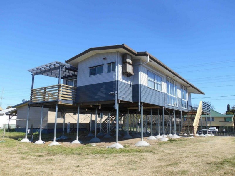
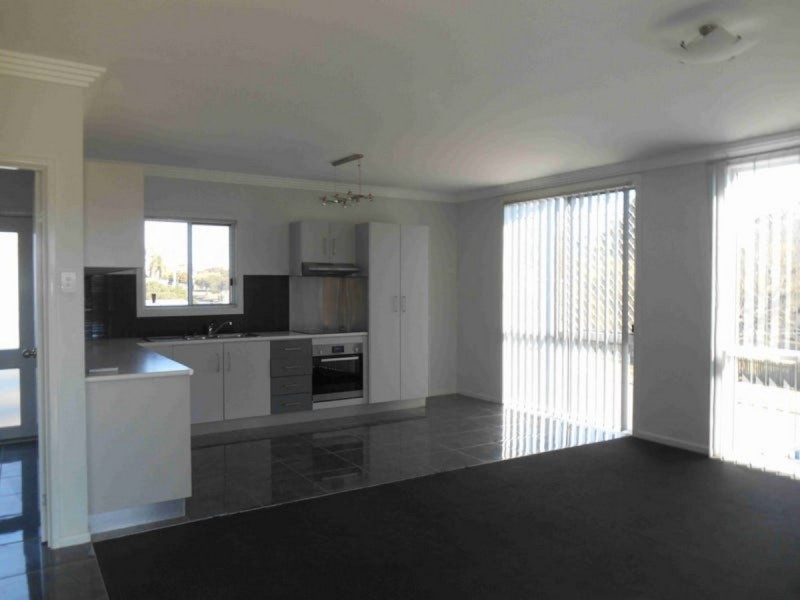
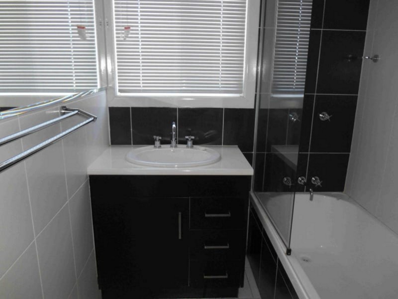
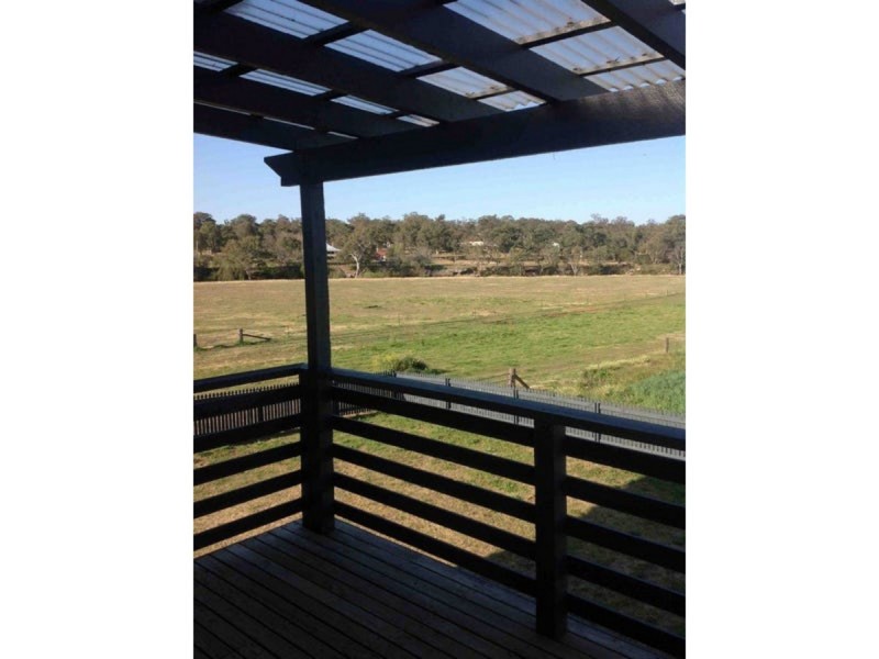
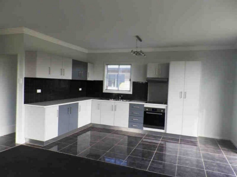
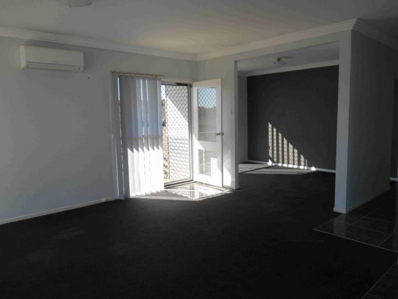
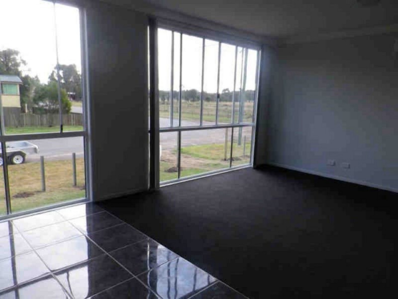
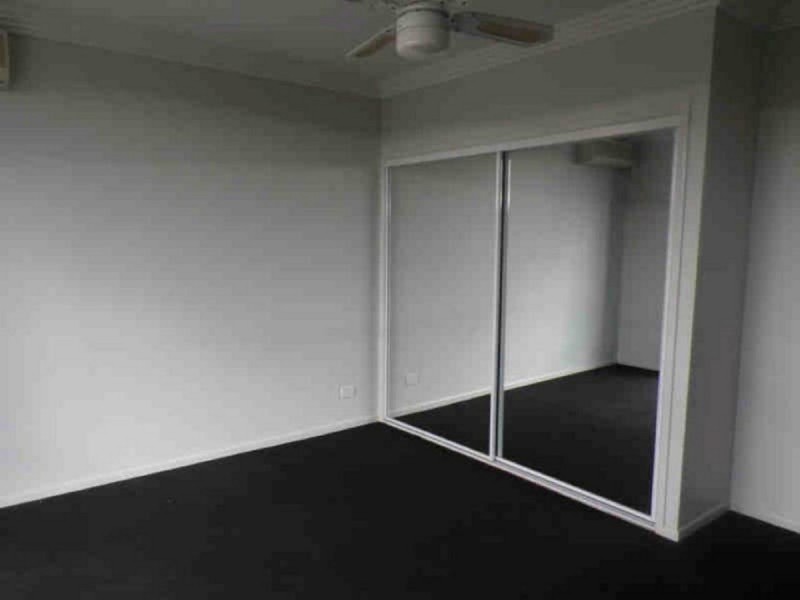
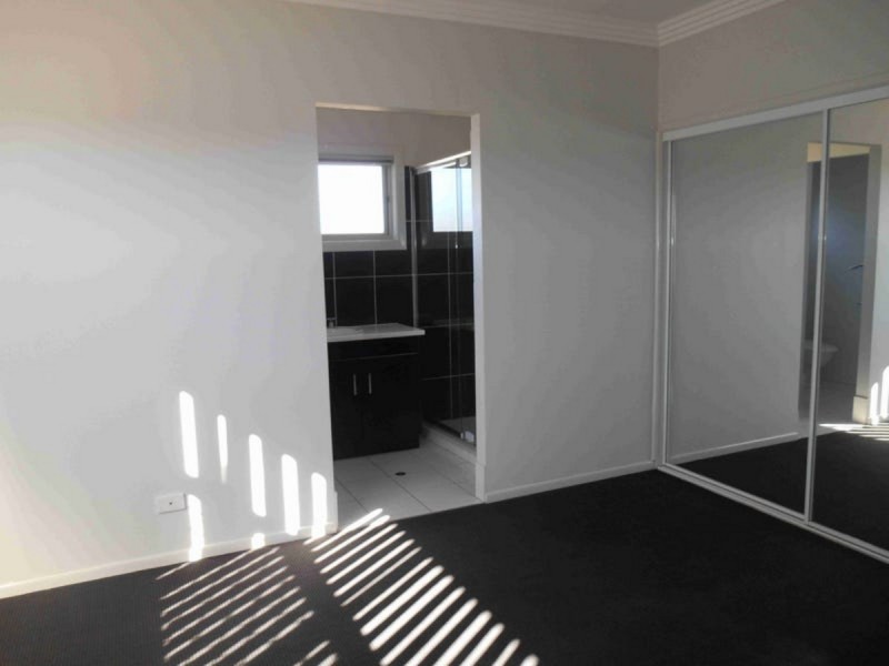
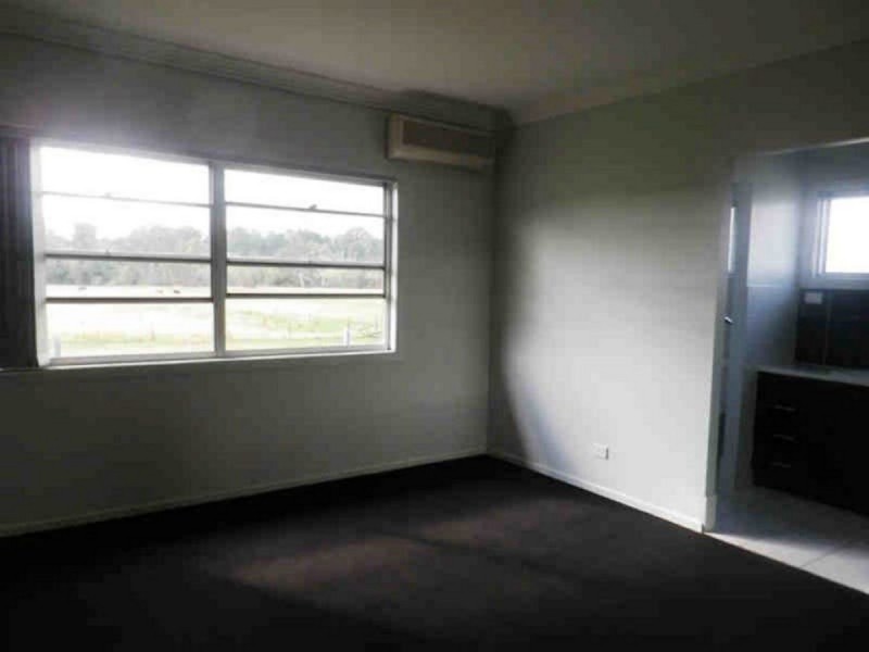
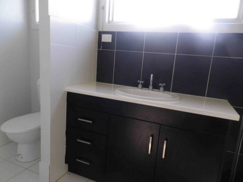
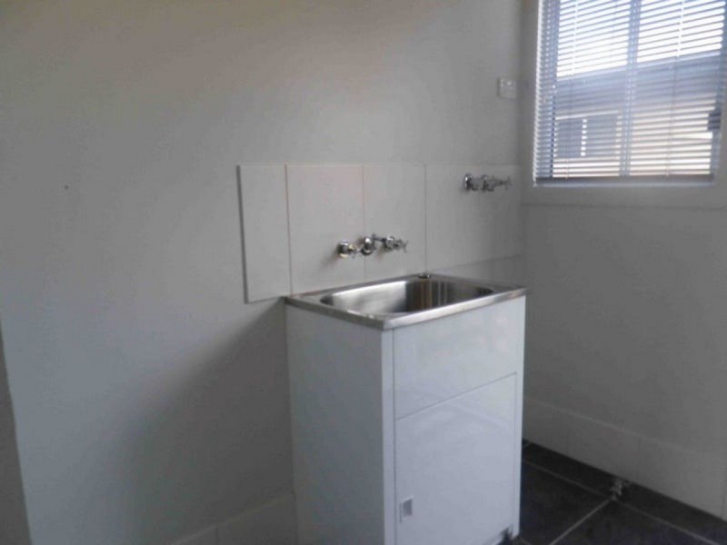
There are approximately 17,238 people living in Warwick but… who are they?
40
48%
52%
Suburb Stats
$884/WK
$215/WK
$325/WK
Value of property in Warwick and nearby suburbs
Warwick
Hazeldean
Murgon
Kooralbyn
Average Home Price$314,784Average Rental Price$252Household Size2.5
Average Home Price$505,857Average Rental Price$461Household Size2.5
Average Home Price$222,100Average Rental Price$207Household Size2.8
Average Home Price$316,393Average Rental Price$249Household Size2.8
Water Useper year per person
0.62mln. litres
State Average 0.68 mln. litres
Nat. Average 0.74 mln. litres
Greenhouse Pollutionper year per person
17.3tonnes
State Average 18.38 tonnes
Nat. Average 20.3 tonnes
Dwelling Types
91%
6%
2%
Most Common Suburb Professions
16% Labourers…
14% Technicia…
13% Managers…
12% Clerical…
Nearby shopping: village shopping centre, rose city shopping world centre management
Nearby schools: warwick state high school, st mary's primary school, glennie heights preschool, warwick community kindergarten
Nearby cafes: the cherry tree coffee & dining, brysons place, char-belas restaurant
Nearby doctors: queensland vascular: dr toby cohen, condamine medical centre - dr ross hetherington, friendly feet podiatry, condamine medical centre-dr lynton hudson
Nearby hospitals: southern downs district health services, condamine medical centre
Nearby cinemas: warwick twin cinema
Nearby pharmacies: discount drug store, warwick friendly society pharmacy, warwick friendly society pharmacies, john duggan amcal chemist
Nearby police stations: warwick police station
Nearby parks: leslie park, victoria park, australiana park, warwick bowling club inc
Nearby restaurants: warwick rsl services & citizens memorial club, red rooster warwick rose city foodcourt, the cherry tree coffee & dining, domino's pizza warwick