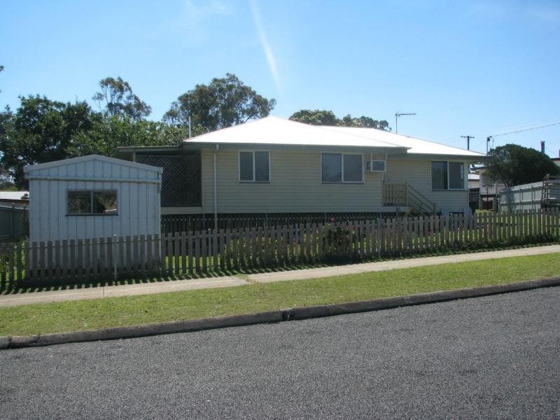
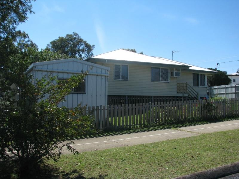
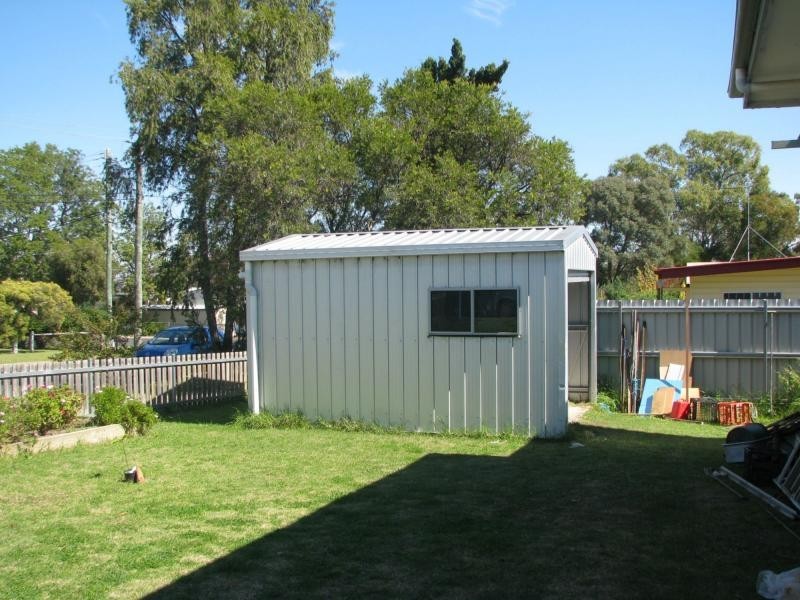
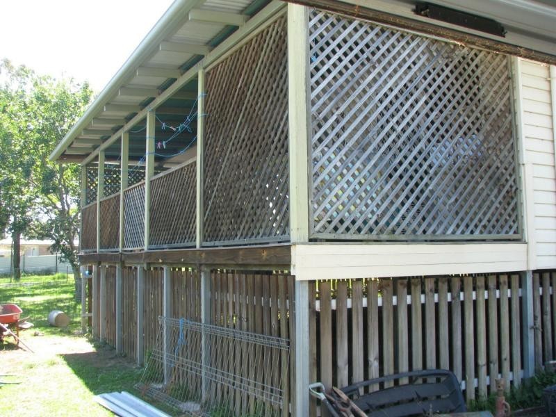
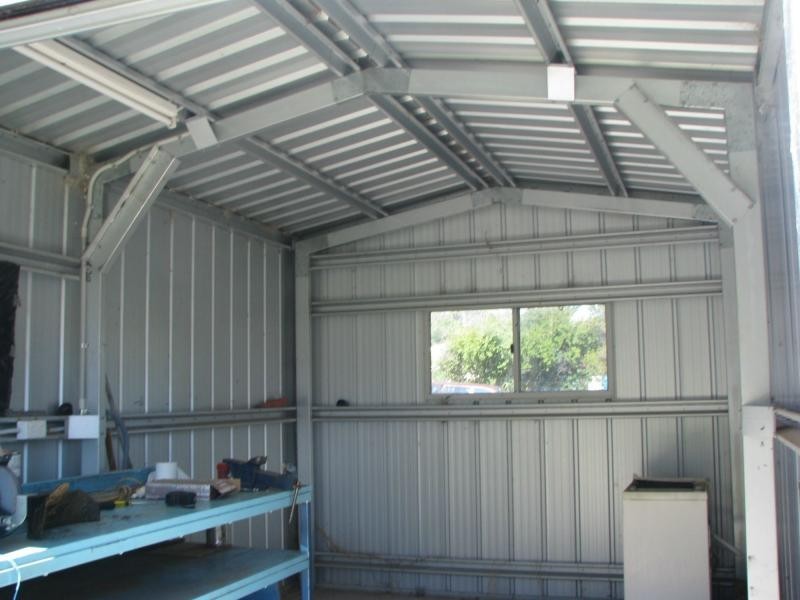
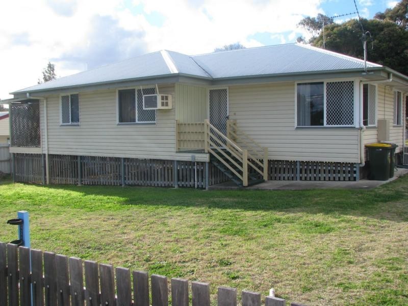
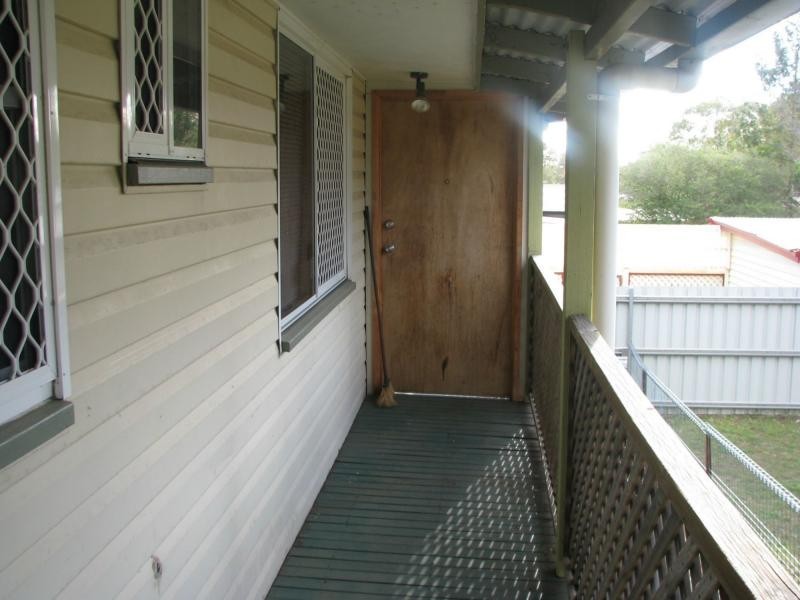
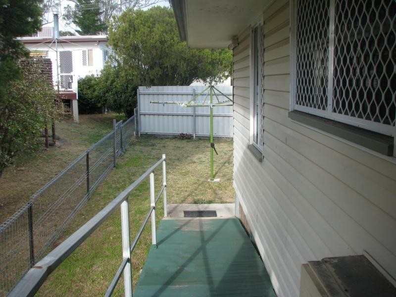
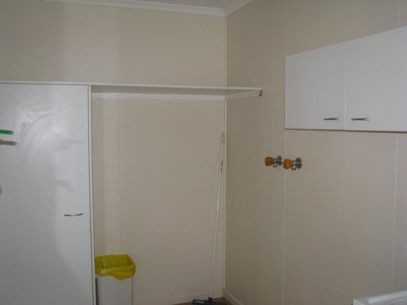
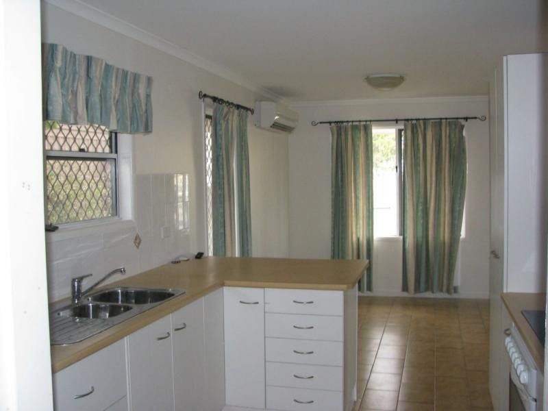
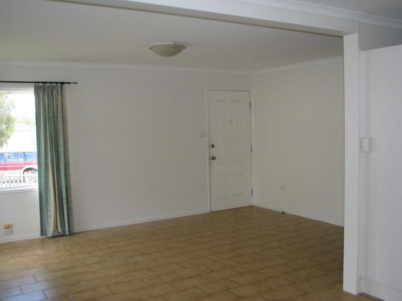
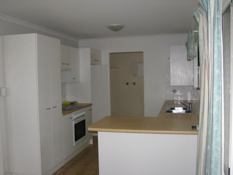
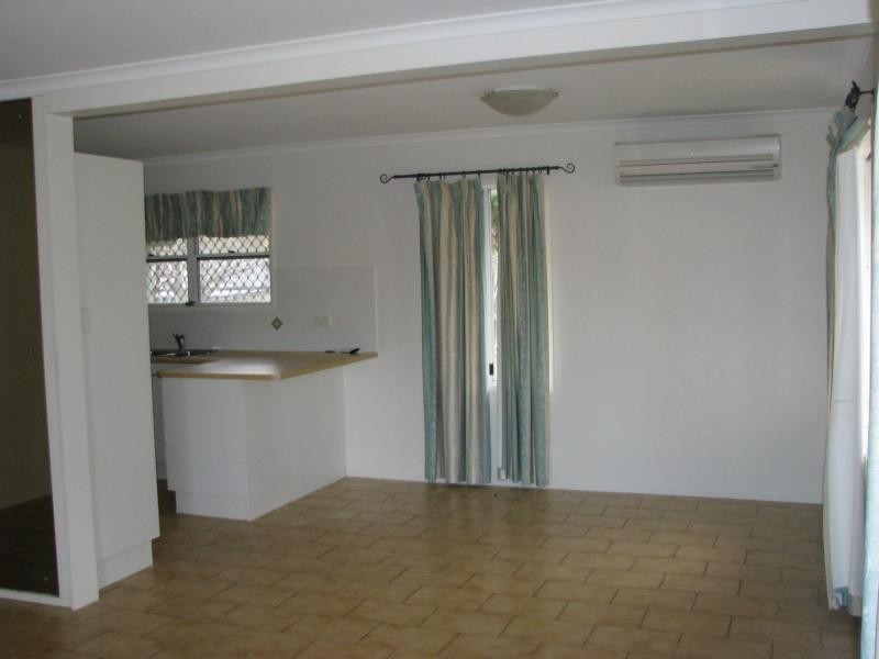
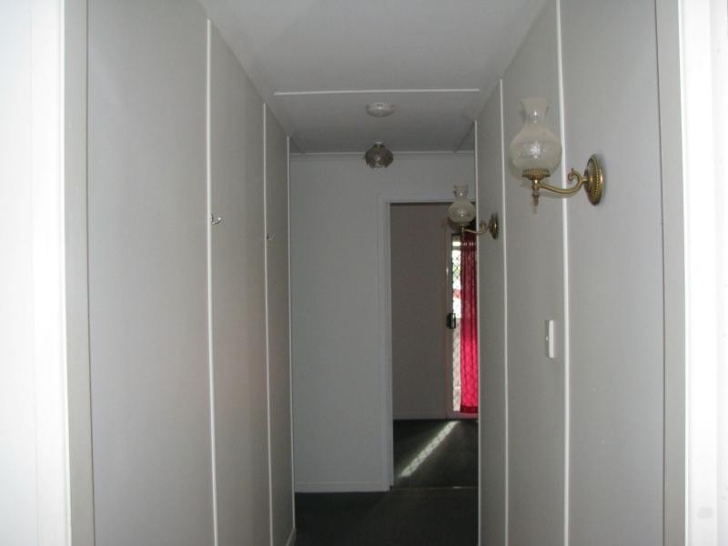
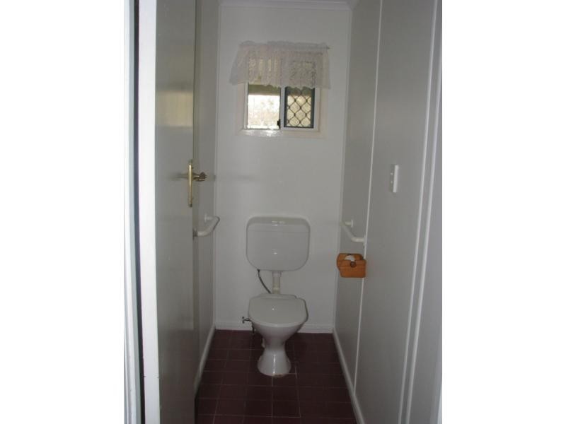
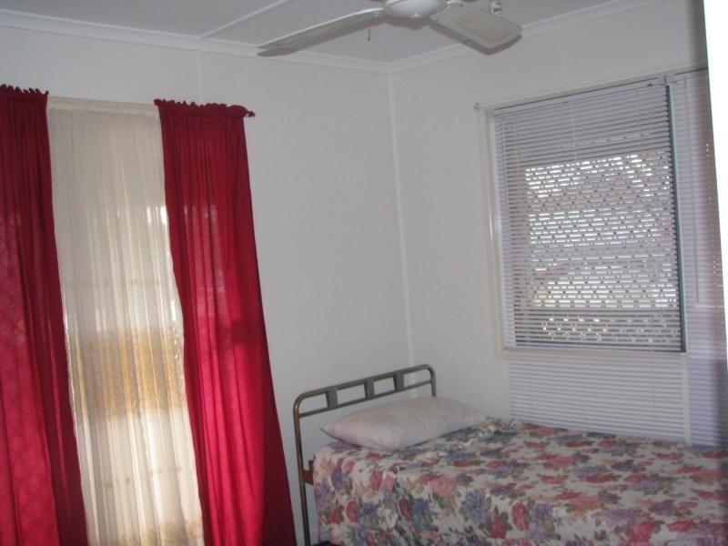
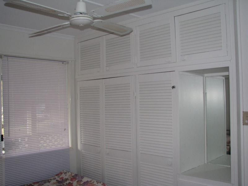
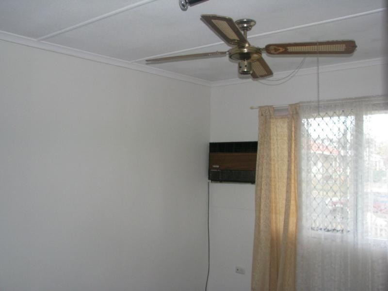
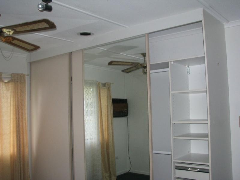
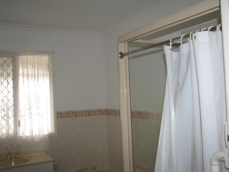
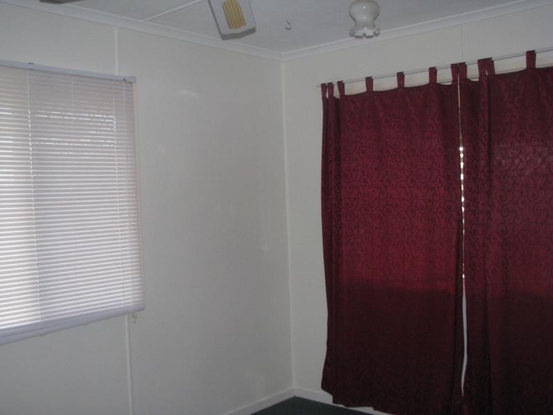
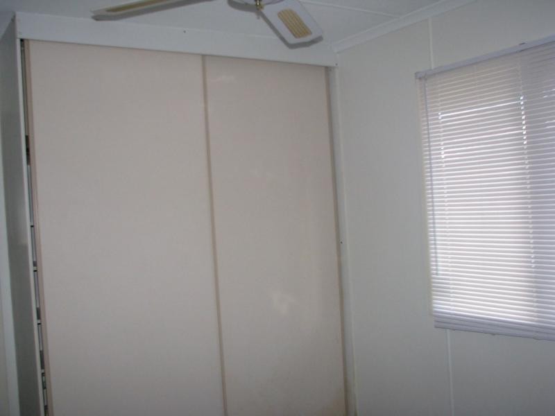
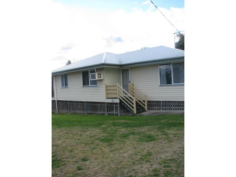
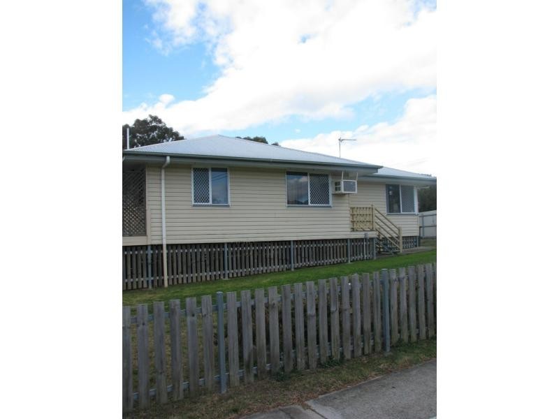
There are approximately 17,238 people living in Warwick but… who are they?
40
48%
52%
Suburb Stats
$884/WK
$215/WK
$325/WK
Value of property in Warwick and nearby suburbs
Warwick
Gungaloon
Upper Yarraman
Goondiwindi
Average Home Price$314,784Average Rental Price$252Household Size2.5
Average Home Price$199,000Average Rental Price$0Household Size2.4
Average Home Price$255,000Average Rental Price$239Household Size2.3
Average Home Price$445,619Average Rental Price$260Household Size2.6
Water Useper year per person
0.62mln. litres
State Average 0.68 mln. litres
Nat. Average 0.74 mln. litres
Greenhouse Pollutionper year per person
17.3tonnes
State Average 18.38 tonnes
Nat. Average 20.3 tonnes
Dwelling Types
91%
6%
2%
Most Common Suburb Professions
16% Labourers…
14% Technicia…
13% Managers…
12% Clerical…
Nearby shopping: rose city shopping world centre management, village shopping centre
Nearby schools: glennie heights preschool, australian college of phytotherapy pty ltd, glennie heights state school, a country garden early childhood centres
Nearby cafes: char-belas restaurant, brysons place, the cherry tree coffee & dining
Nearby doctors: the podiatrist, southern downs dental, condamine medical centre - dr louise clarke, timothy williams dr
Nearby hospitals: southern downs district health services, condamine medical centre
Nearby cinemas: warwick twin cinema
Nearby pharmacies: warwick friendly society pharmacies, discount drug store, john duggan amcal chemist, warwick friendly society pharmacy
Nearby police stations: warwick police station
Nearby parks: australiana park, leslie park, warwick bowling club inc, hamilton oval
Nearby restaurants: palms on palmerin, mango camping, domino's pizza warwick, the cherry tree coffee & dining