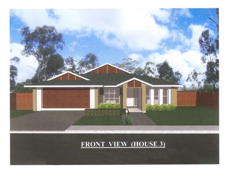
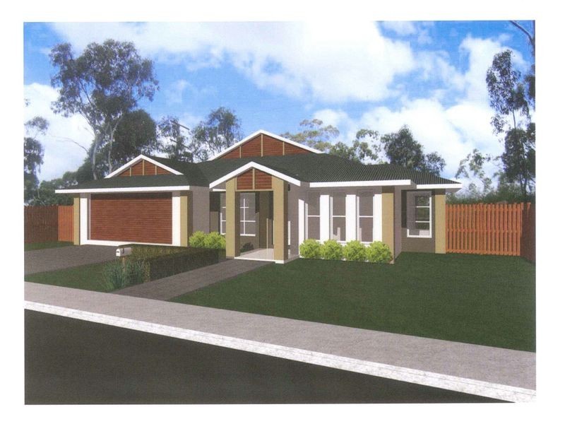
There are approximately 17,238 people living in Warwick but… who are they?
40
48%
52%
Suburb Stats
$884/WK
$215/WK
$325/WK
Value of property in Warwick and nearby suburbs
Warwick
Upper Yarraman
Gungaloon
Berat
Average Home Price$314,784Average Rental Price$252Household Size2.5
Average Home Price$255,000Average Rental Price$239Household Size2.3
Average Home Price$199,000Average Rental Price$0Household Size2.4
Average Home Price$0Average Rental Price$0Household Size2.5
Water Useper year per person
0.62mln. litres
State Average 0.68 mln. litres
Nat. Average 0.74 mln. litres
Greenhouse Pollutionper year per person
17.3tonnes
State Average 18.38 tonnes
Nat. Average 20.3 tonnes
Dwelling Types
91%
6%
2%
Most Common Suburb Professions
16% Labourers…
14% Technicia…
13% Managers…
12% Clerical…
Nearby shopping: village shopping centre, rose city shopping world centre management
Nearby schools: a country garden early childhood centres, glennie heights preschool, warwick central school, aikido aiki kai warwick - southern queensland
Nearby cafes: brysons place, the cherry tree coffee & dining, char-belas restaurant
Nearby doctors: condamine medical centre - dr ross hetherington, granite belt dental, condamine medical centre - dr aleta slattery, condamine medical centre - dr john kiss
Nearby hospitals: southern downs district health services, condamine medical centre
Nearby cinemas: warwick twin cinema
Nearby pharmacies: warwick friendly society pharmacy, discount drug store, john duggan amcal chemist, warwick friendly society pharmacies
Nearby police stations: warwick police station
Nearby parks: warwick bowling club inc, kahlers oasis caravan park, hamilton oval, tullock park
Nearby restaurants: red rooster warwick rose city foodcourt, char-belas restaurant, mcdonald's warwick, the cherry tree coffee & dining