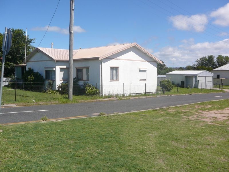
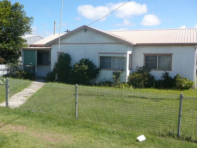
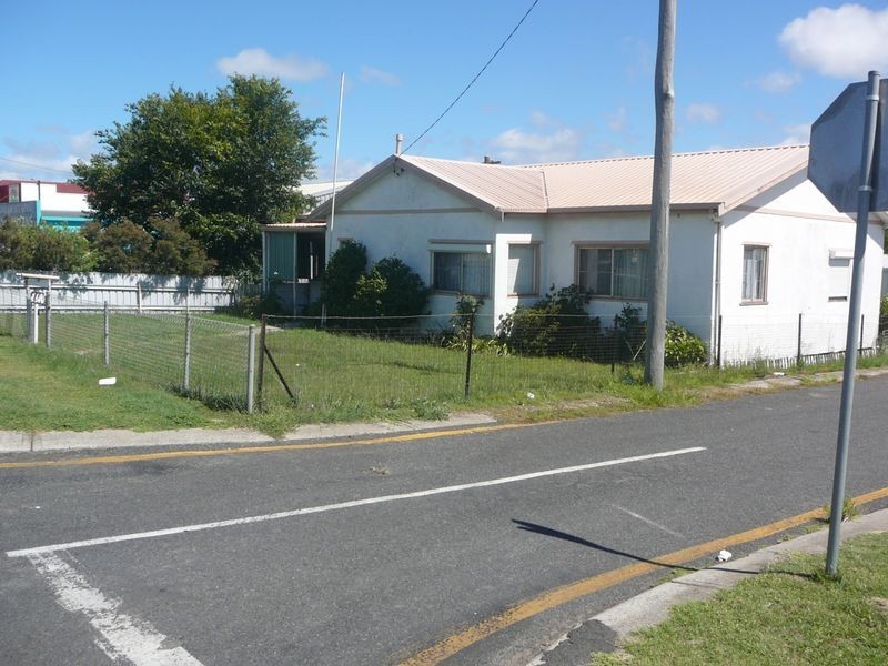
There are approximately 17,238 people living in Warwick but… who are they?
40
48%
52%
Suburb Stats
$884/WK
$215/WK
$325/WK
Value of property in Warwick and nearby suburbs
Warwick
Clintonvale
Biggenden
Dalby
Average Home Price$314,784Average Rental Price$252Household Size2.5
Average Home Price$3,366,667Average Rental Price$333Household Size2.5
Average Home Price$239,614Average Rental Price$223Household Size2.2
Average Home Price$293,879Average Rental Price$306Household Size2.7
Water Useper year per person
0.62mln. litres
State Average 0.68 mln. litres
Nat. Average 0.74 mln. litres
Greenhouse Pollutionper year per person
17.3tonnes
State Average 18.38 tonnes
Nat. Average 20.3 tonnes
Dwelling Types
91%
6%
2%
Most Common Suburb Professions
16% Labourers…
14% Technicia…
13% Managers…
12% Clerical…
Nearby shopping: village shopping centre, rose city shopping world centre management
Nearby schools: warwick central school, glennie heights preschool, warwick state high school, a country garden early childhood centres
Nearby cafes: the cherry tree coffee & dining, brysons place, char-belas restaurant
Nearby doctors: condamine medical centre - dr evan ackermann, condamine medical centre-dr lynton hudson, condamine medical centre - dr john kiss, queensland vascular: dr toby cohen
Nearby hospitals: condamine medical centre, southern downs district health services
Nearby cinemas: warwick twin cinema
Nearby pharmacies: john duggan amcal chemist, discount drug store, warwick friendly society pharmacy, warwick friendly society pharmacies
Nearby police stations: warwick police station
Nearby parks: tullock park, leslie park, warwick bowling club inc, australiana park
Nearby restaurants: the cherry tree coffee & dining, warwick rsl services & citizens memorial club, domino's pizza warwick, mcdonald's warwick