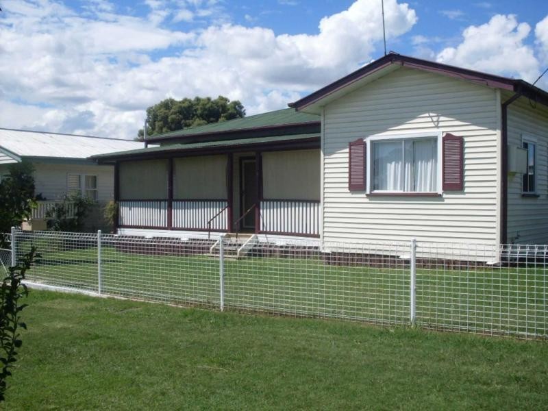
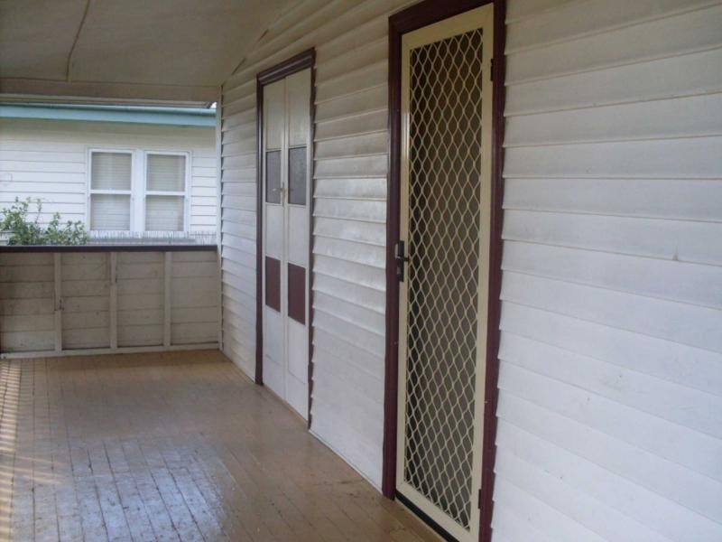
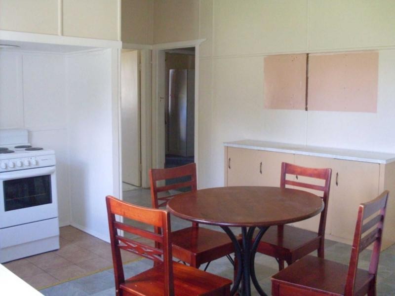
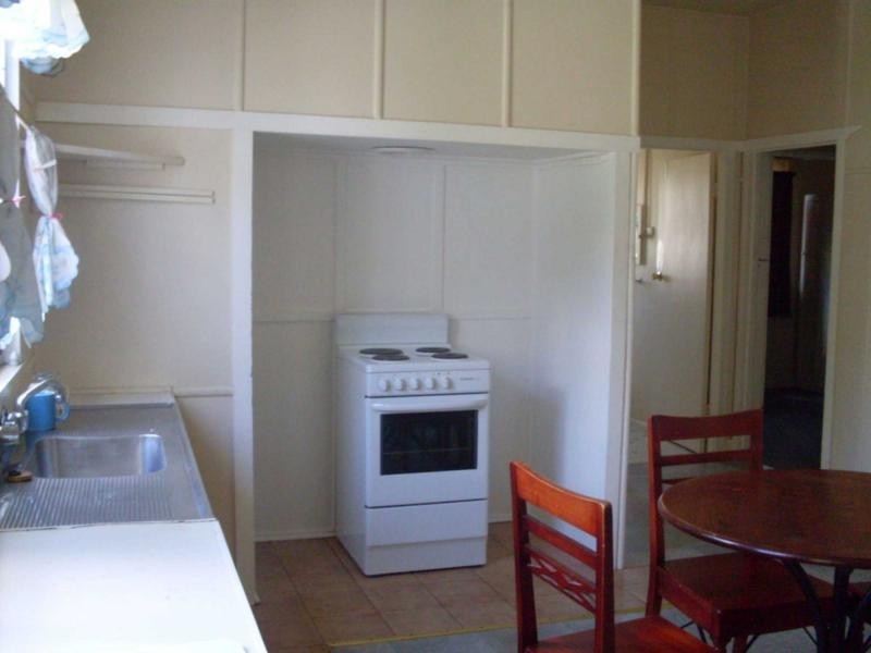
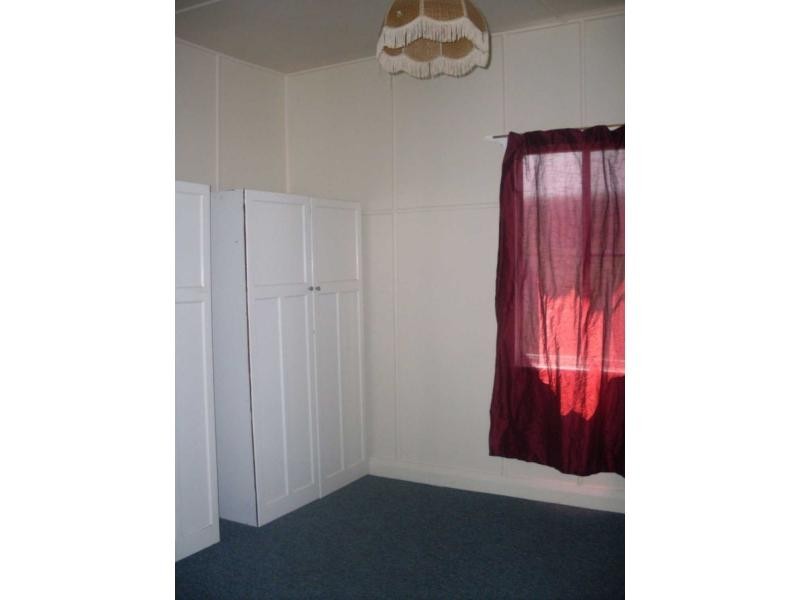
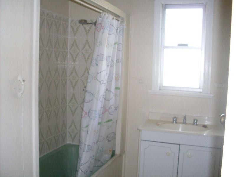
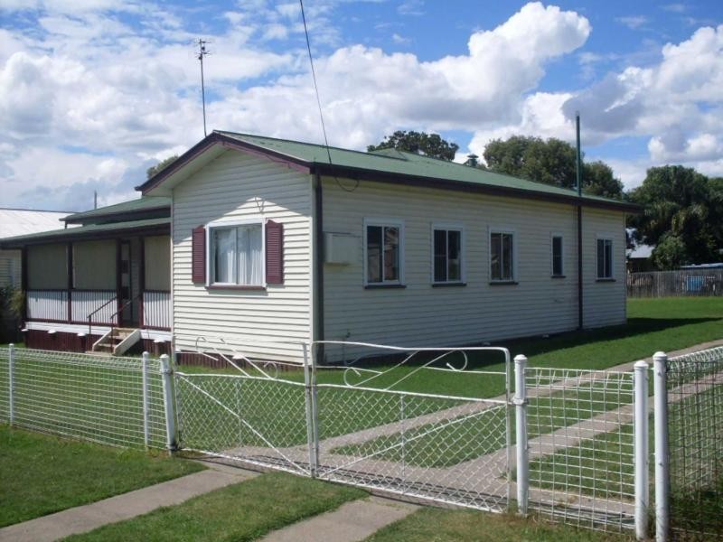
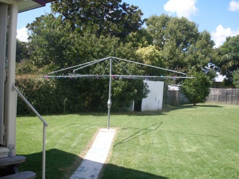
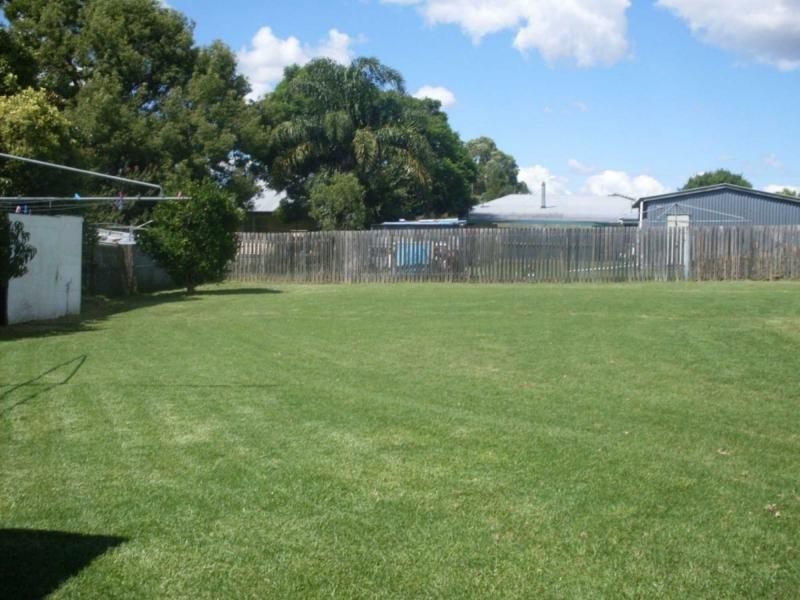
There are approximately 17,238 people living in Warwick but… who are they?
40
48%
52%
Suburb Stats
$884/WK
$215/WK
$325/WK
Value of property in Warwick and nearby suburbs
Warwick
Tansey
Clintonvale
Stanthorpe
Average Home Price$314,784Average Rental Price$252Household Size2.5
Average Home Price$1,194,750Average Rental Price$0Household Size2.4
Average Home Price$3,366,667Average Rental Price$333Household Size2.5
Average Home Price$310,018Average Rental Price$251Household Size2.3
Water Useper year per person
0.62mln. litres
State Average 0.68 mln. litres
Nat. Average 0.74 mln. litres
Greenhouse Pollutionper year per person
17.3tonnes
State Average 18.38 tonnes
Nat. Average 20.3 tonnes
Dwelling Types
91%
6%
2%
Most Common Suburb Professions
16% Labourers…
14% Technicia…
13% Managers…
12% Clerical…
Nearby shopping: village shopping centre, rose city shopping world centre management
Nearby schools: glennie heights preschool, killarney school of dance, inverness highland dance studio, warwick state high school
Nearby cafes: brysons place, char-belas restaurant, the cherry tree coffee & dining
Nearby doctors: condamine medical centre - dr evan ackermann, queensland vascular: dr toby cohen, dr sam wong, condamine medical centre - dr louise clarke
Nearby hospitals: condamine medical centre, southern downs district health services
Nearby cinemas: warwick twin cinema
Nearby pharmacies: john duggan amcal chemist, warwick friendly society pharmacies, discount drug store, warwick friendly society pharmacy
Nearby police stations: warwick police station
Nearby parks: australiana park, leslie park, warwick bowling club inc, victoria park
Nearby restaurants: the cherry tree coffee & dining, brysons place, red rooster warwick rose city foodcourt, eagle boys pizza