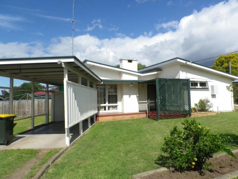
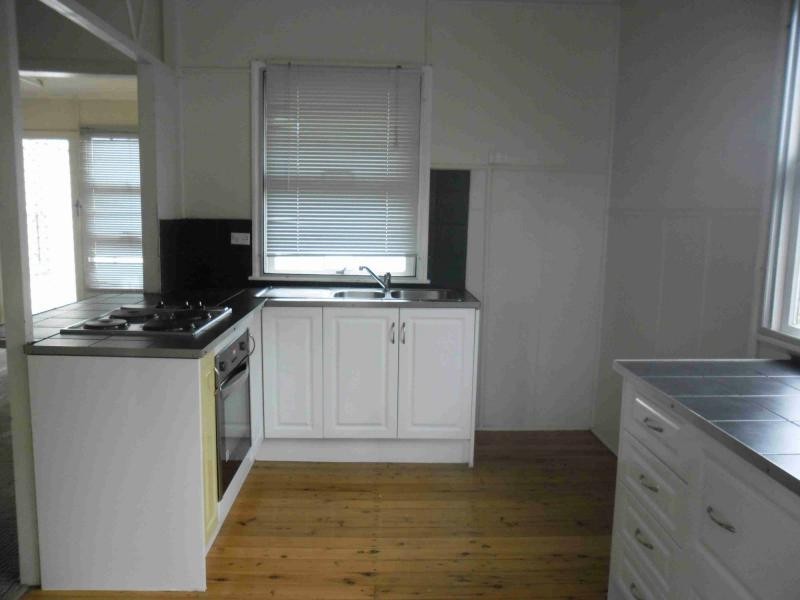
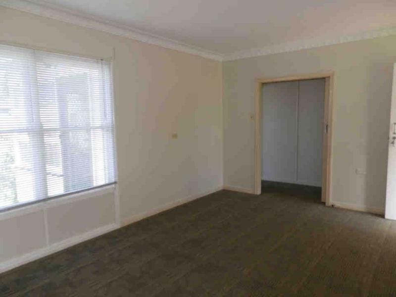
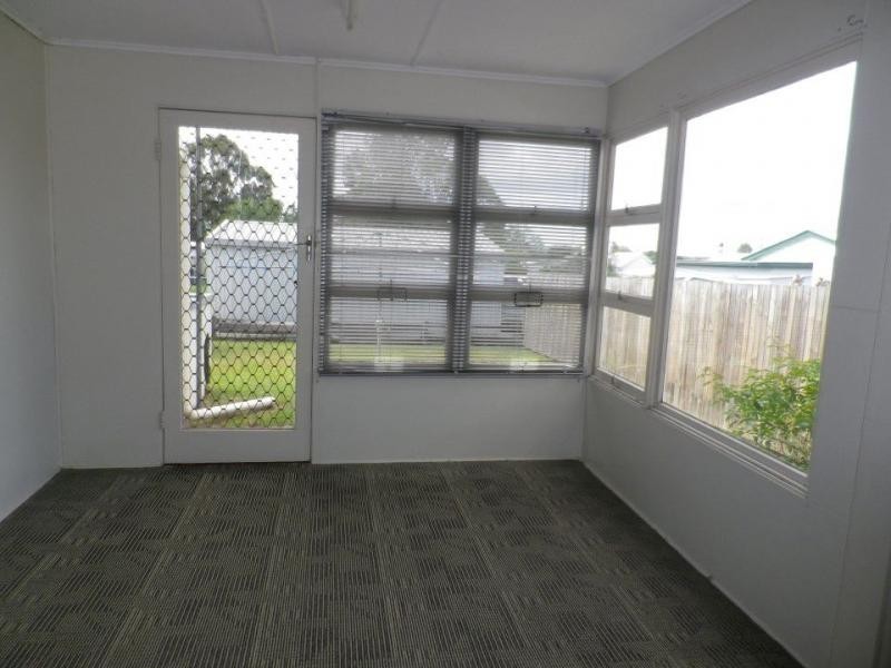
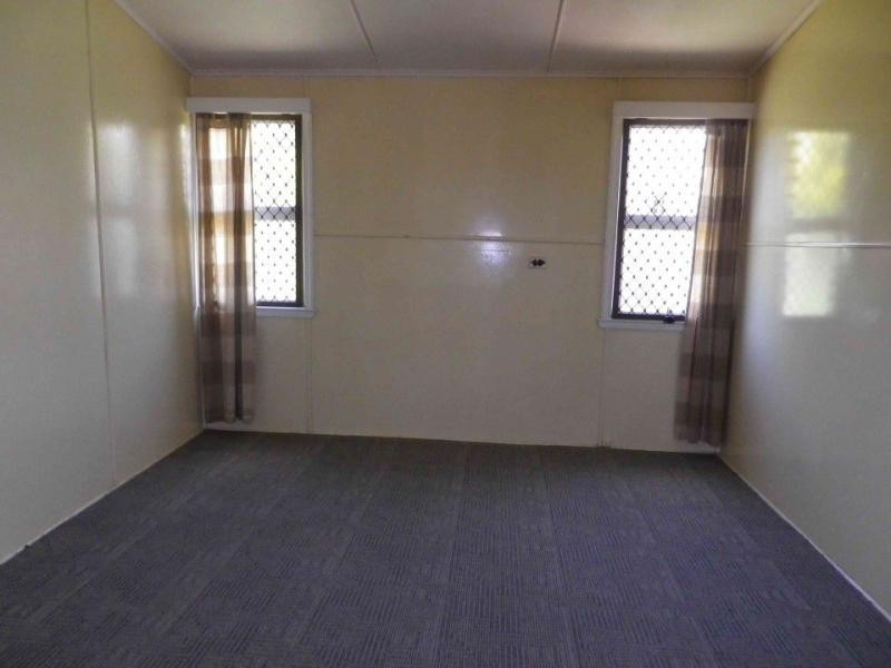
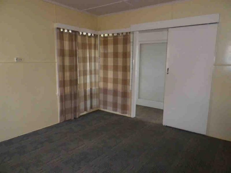
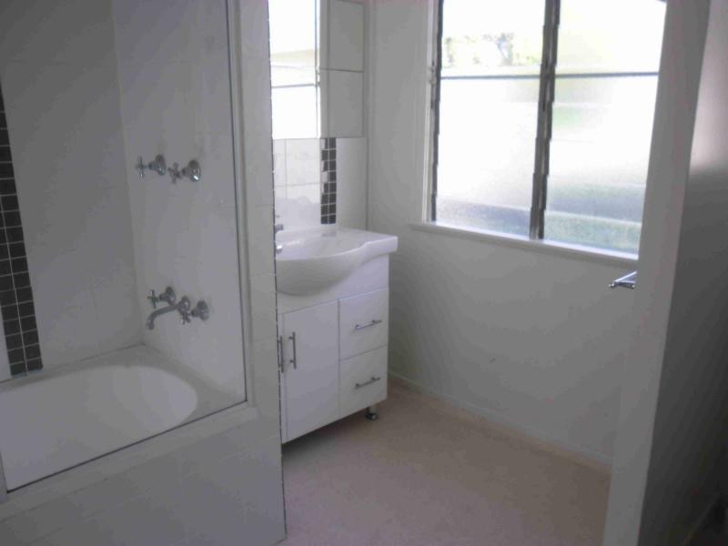
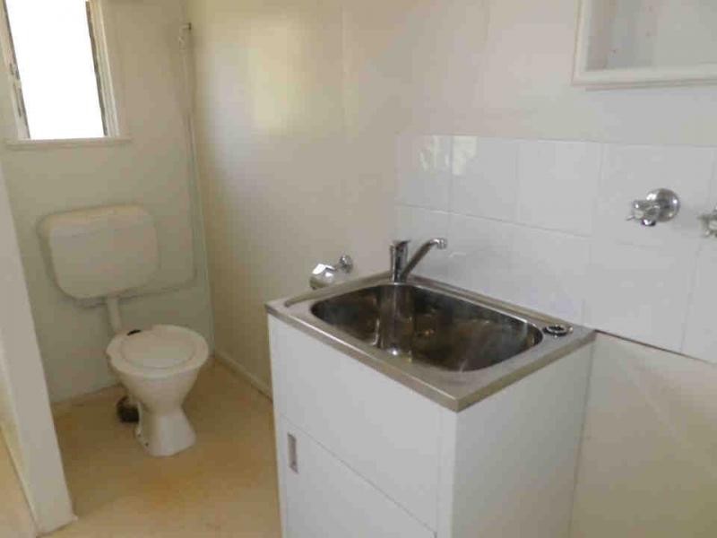
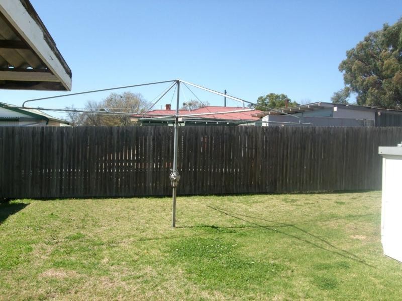
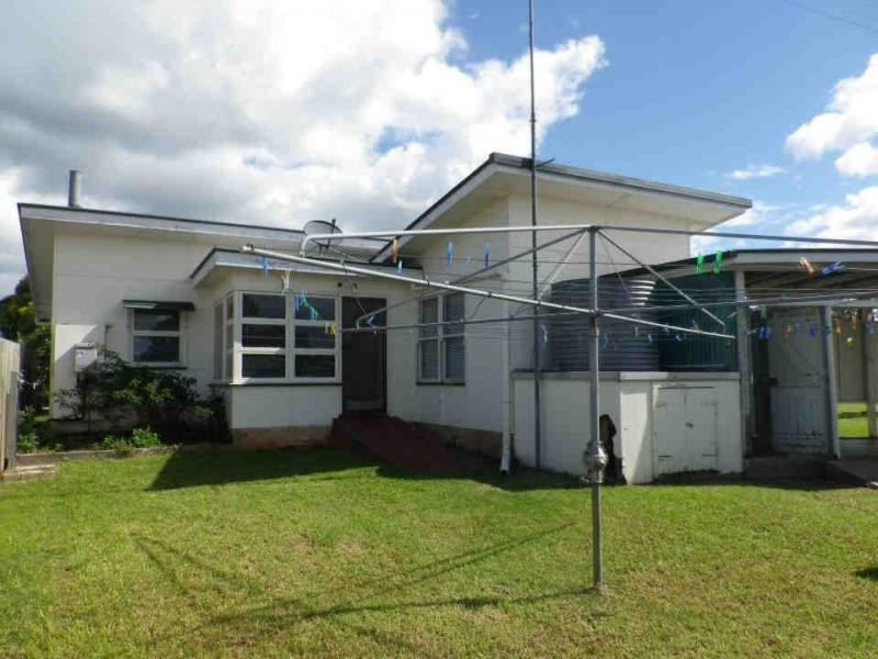
There are approximately 17,238 people living in Warwick but… who are they?
40
48%
52%
Suburb Stats
$884/WK
$215/WK
$325/WK
Value of property in Warwick and nearby suburbs
Warwick
Roma
Pratten
Beaudesert
Average Home Price$314,784Average Rental Price$252Household Size2.5
Average Home Price$369,082Average Rental Price$382Household Size2.6
Average Home Price$279,167Average Rental Price$236Household Size2.5
Average Home Price$371,343Average Rental Price$311Household Size2.8
Water Useper year per person
0.62mln. litres
State Average 0.68 mln. litres
Nat. Average 0.74 mln. litres
Greenhouse Pollutionper year per person
17.3tonnes
State Average 18.38 tonnes
Nat. Average 20.3 tonnes
Dwelling Types
91%
6%
2%
Most Common Suburb Professions
16% Labourers…
14% Technicia…
13% Managers…
12% Clerical…
Nearby shopping: village shopping centre, rose city shopping world centre management
Nearby schools: killarney school of dance, australian college of phytotherapy pty ltd, warwick state high school, a country garden early childhood centres
Nearby cafes: the cherry tree coffee & dining, char-belas restaurant, brysons place
Nearby doctors: granite belt dental, timothy williams dr, condamine medical centre - dr aleta slattery, dr sam wong
Nearby hospitals: condamine medical centre, southern downs district health services
Nearby cinemas: warwick twin cinema
Nearby pharmacies: warwick friendly society pharmacy, warwick friendly society pharmacies, john duggan amcal chemist, discount drug store
Nearby police stations: warwick police station
Nearby parks: warwick bowling club inc, kahlers oasis caravan park, tullock park, victoria park
Nearby restaurants: red rooster warwick rose city foodcourt, mussel's restaurant, brysons place, mango camping