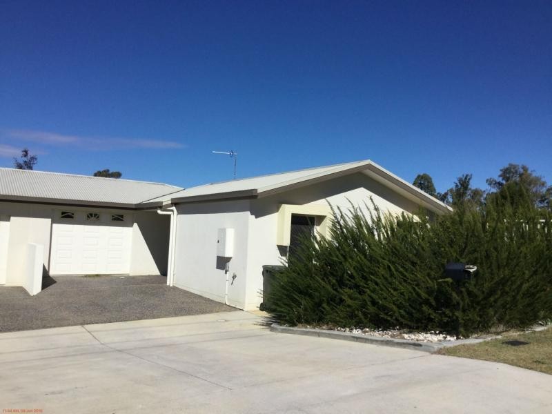
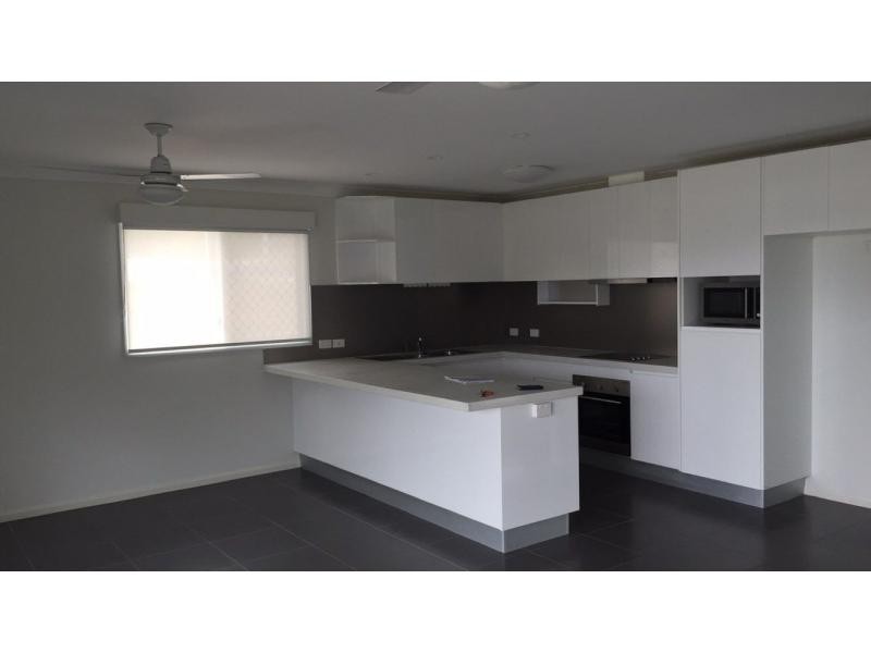
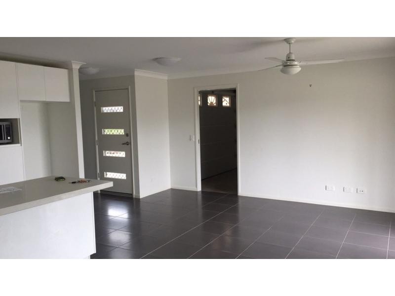
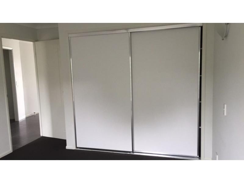
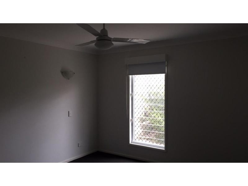
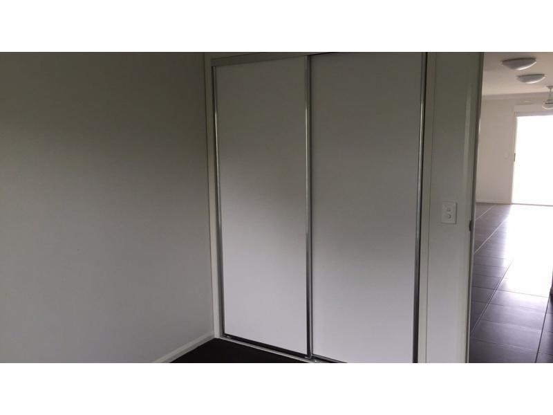
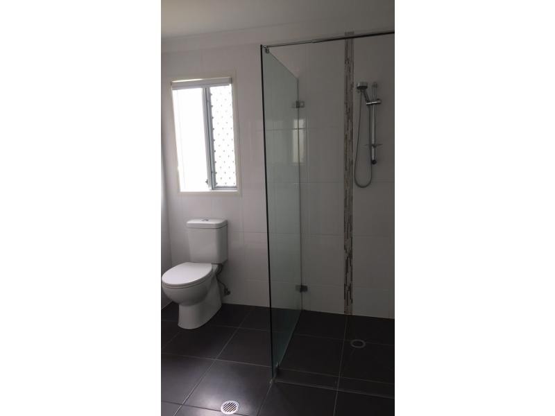
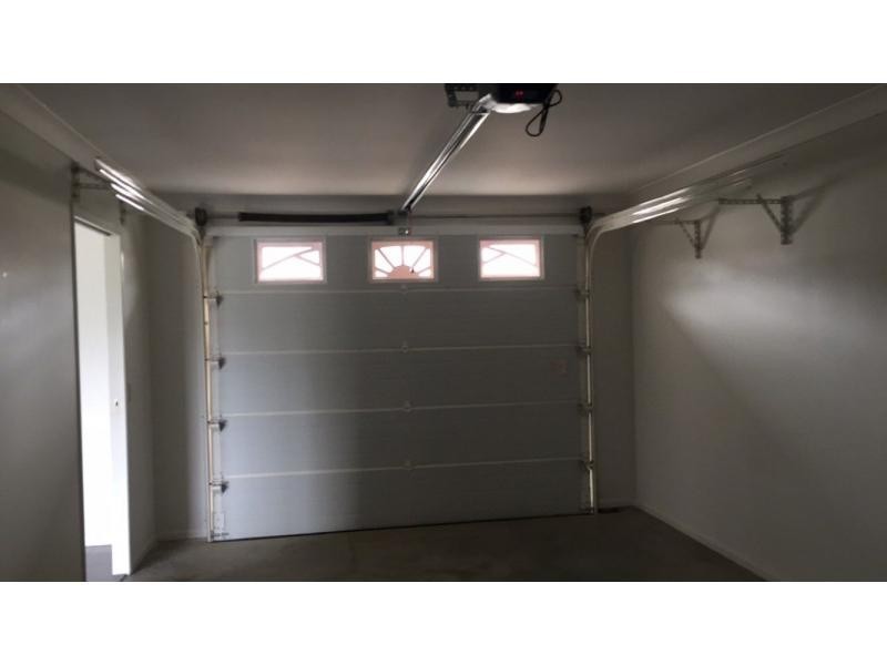
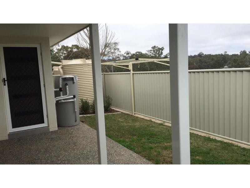
There are approximately 17,238 people living in Warwick but… who are they?
40
48%
52%
Suburb Stats
$884/WK
$215/WK
$325/WK
Value of property in Warwick and nearby suburbs
Warwick
Proston
Birnam
Upper Yarraman
Average Home Price$314,784Average Rental Price$252Household Size2.5
Average Home Price$138,375Average Rental Price$198Household Size2
Average Home Price$0Average Rental Price$452Household Size2.8
Average Home Price$255,000Average Rental Price$239Household Size2.3
Water Useper year per person
0.62mln. litres
State Average 0.68 mln. litres
Nat. Average 0.74 mln. litres
Greenhouse Pollutionper year per person
17.3tonnes
State Average 18.38 tonnes
Nat. Average 20.3 tonnes
Dwelling Types
91%
6%
2%
Most Common Suburb Professions
16% Labourers…
14% Technicia…
13% Managers…
12% Clerical…
Nearby shopping: rose city shopping world centre management, village shopping centre
Nearby schools: a country garden early childhood centres, glennie heights state school, australian college of phytotherapy pty ltd, warwick central school
Nearby cafes: the cherry tree coffee & dining, char-belas restaurant, brysons place
Nearby doctors: toowoomba orthodontists, warwick dental, firm foundations podiatry, condamine medical centre - dr louise clarke
Nearby hospitals: southern downs district health services, condamine medical centre
Nearby cinemas: warwick twin cinema
Nearby pharmacies: warwick friendly society pharmacies, john duggan amcal chemist, warwick friendly society pharmacy, discount drug store
Nearby police stations: warwick police station
Nearby parks: leslie park, victoria park, tullock park, hamilton oval
Nearby restaurants: red rooster warwick rose city foodcourt, kfc warwick, mango camping, the cherry tree coffee & dining