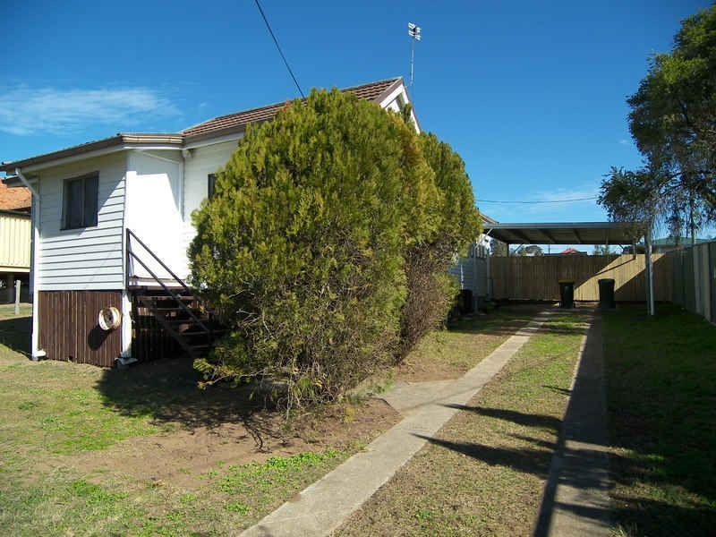
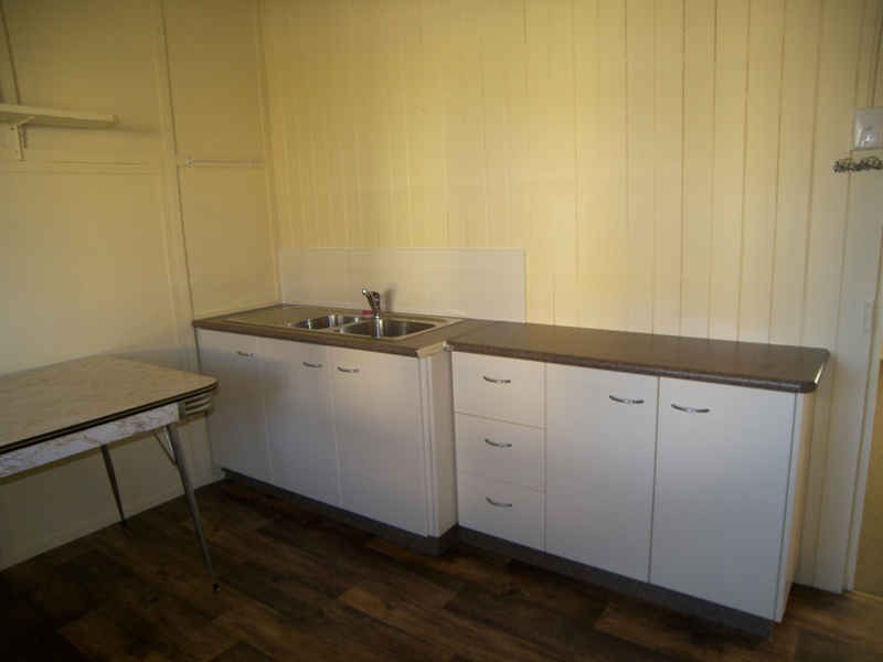
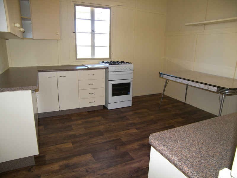
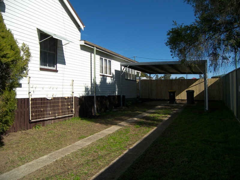
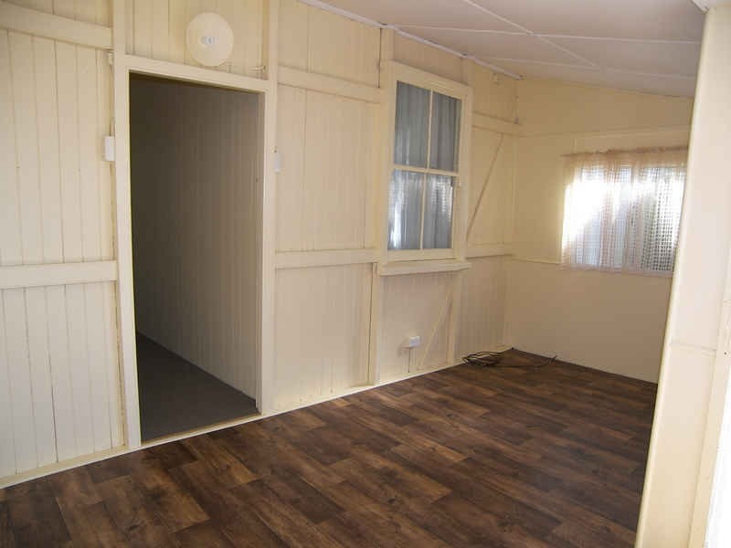
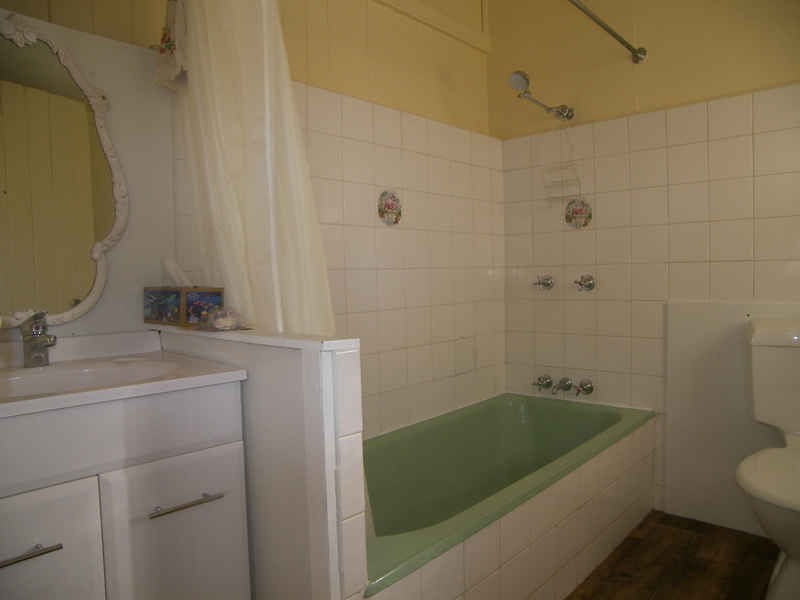
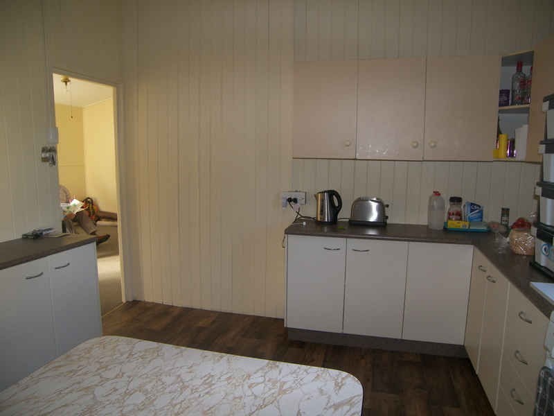
There are approximately 17,238 people living in Warwick but… who are they?
40
48%
52%
Suburb Stats
$884/WK
$215/WK
$325/WK
Value of property in Warwick and nearby suburbs
Warwick
Stanthorpe
Stockleigh
Jimboomba
Average Home Price$314,784Average Rental Price$252Household Size2.5
Average Home Price$310,018Average Rental Price$251Household Size2.3
Average Home Price$567,645Average Rental Price$422Household Size3.2
Average Home Price$486,907Average Rental Price$412Household Size3.2
Water Useper year per person
0.62mln. litres
State Average 0.68 mln. litres
Nat. Average 0.74 mln. litres
Greenhouse Pollutionper year per person
17.3tonnes
State Average 18.38 tonnes
Nat. Average 20.3 tonnes
Dwelling Types
91%
6%
2%
Most Common Suburb Professions
16% Labourers…
14% Technicia…
13% Managers…
12% Clerical…
Nearby shopping: village shopping centre, rose city shopping world centre management
Nearby schools: killarney school of dance, australian college of phytotherapy pty ltd, glennie heights preschool, warwick community kindergarten
Nearby cafes: char-belas restaurant, the cherry tree coffee & dining, brysons place
Nearby doctors: condamine medical centre - dr ross hetherington, friendly feet podiatry, condamine medical centre - dr aleta slattery, guy street dental
Nearby hospitals: condamine medical centre, southern downs district health services
Nearby cinemas: warwick twin cinema
Nearby pharmacies: discount drug store, john duggan amcal chemist, warwick friendly society pharmacies, warwick friendly society pharmacy
Nearby police stations: warwick police station
Nearby parks: australiana park, leslie park, kahlers oasis caravan park, hamilton oval