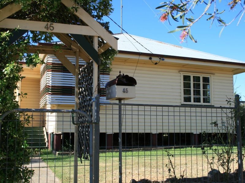
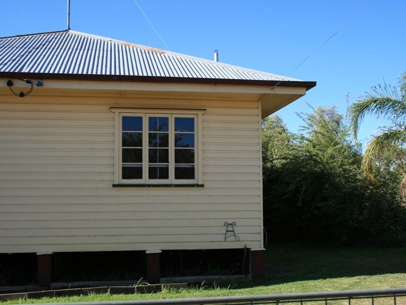
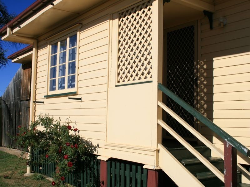
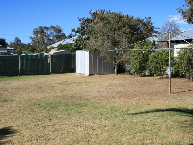
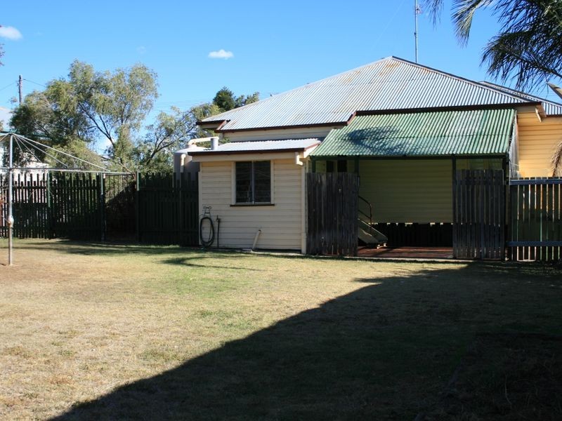
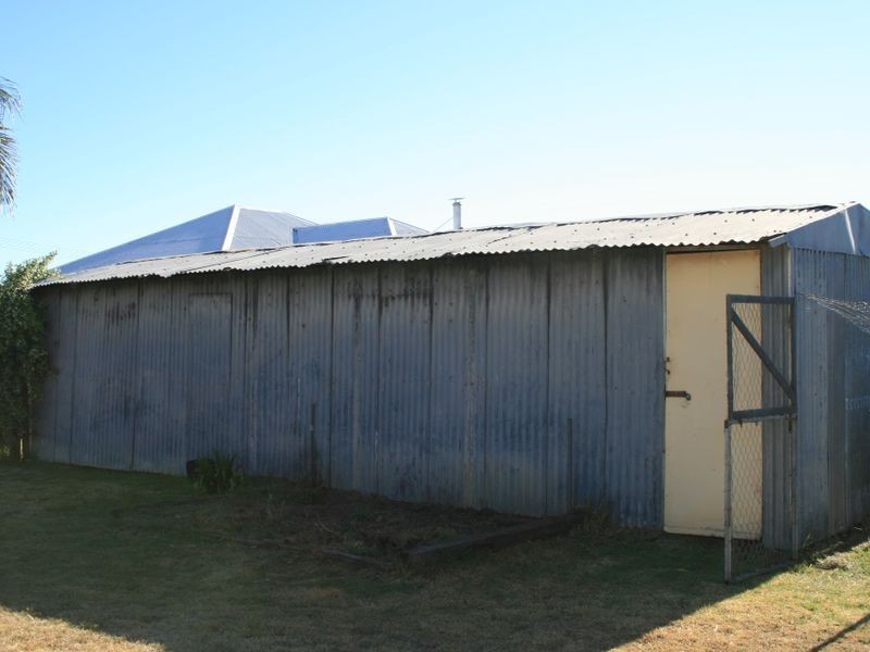
There are approximately 17,238 people living in Warwick but… who are they?
40
48%
52%
Suburb Stats
$884/WK
$215/WK
$325/WK
Value of property in Warwick and nearby suburbs
Warwick
Proston
Kooralbyn
Hazeldean
Average Home Price$314,784Average Rental Price$252Household Size2.5
Average Home Price$138,375Average Rental Price$198Household Size2
Average Home Price$316,393Average Rental Price$249Household Size2.8
Average Home Price$505,857Average Rental Price$461Household Size2.5
Water Useper year per person
0.62mln. litres
State Average 0.68 mln. litres
Nat. Average 0.74 mln. litres
Greenhouse Pollutionper year per person
17.3tonnes
State Average 18.38 tonnes
Nat. Average 20.3 tonnes
Dwelling Types
91%
6%
2%
Most Common Suburb Professions
16% Labourers…
14% Technicia…
13% Managers…
12% Clerical…
Nearby shopping: village shopping centre, rose city shopping world centre management
Nearby schools: warwick state high school, aikido aiki kai warwick - southern queensland, warwick community kindergarten, a country garden early childhood centres
Nearby cafes: char-belas restaurant, brysons place, the cherry tree coffee & dining
Nearby doctors: friendly feet podiatry, condamine medical centre - dr aleta slattery, granite belt dental, the podiatrist
Nearby hospitals: southern downs district health services, condamine medical centre
Nearby cinemas: warwick twin cinema
Nearby pharmacies: warwick friendly society pharmacy, discount drug store, john duggan amcal chemist, warwick friendly society pharmacies
Nearby police stations: warwick police station
Nearby parks: hamilton oval, warwick bowling club inc, leslie park, victoria park
Nearby restaurants: warwick rsl services & citizens memorial club, brysons place, shalimar indian restaurant, palms on palmerin