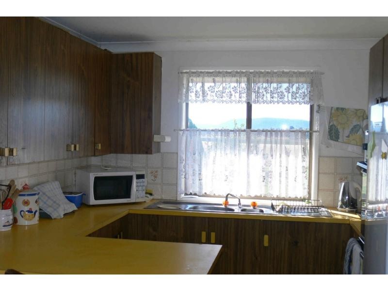
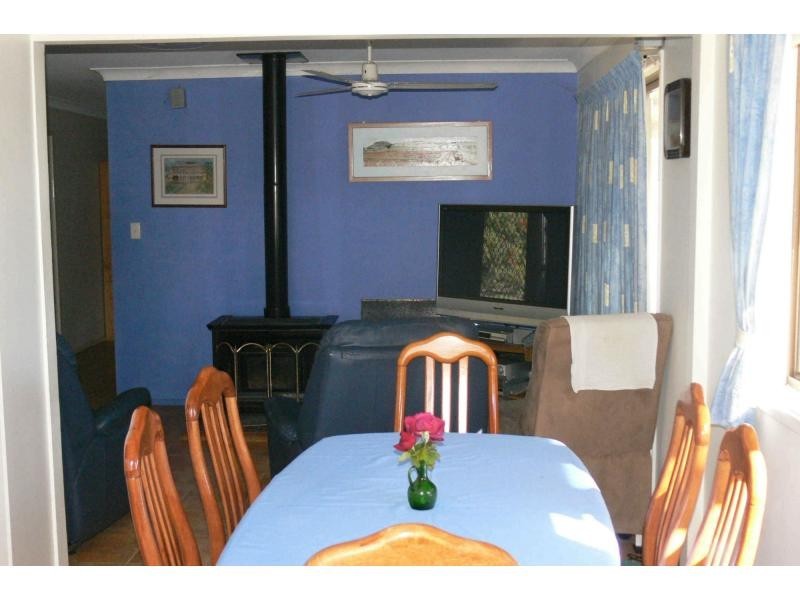
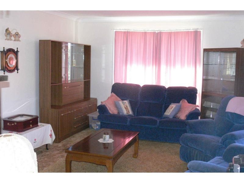
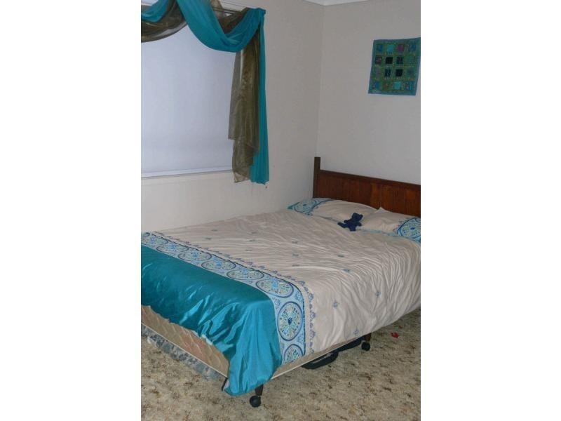
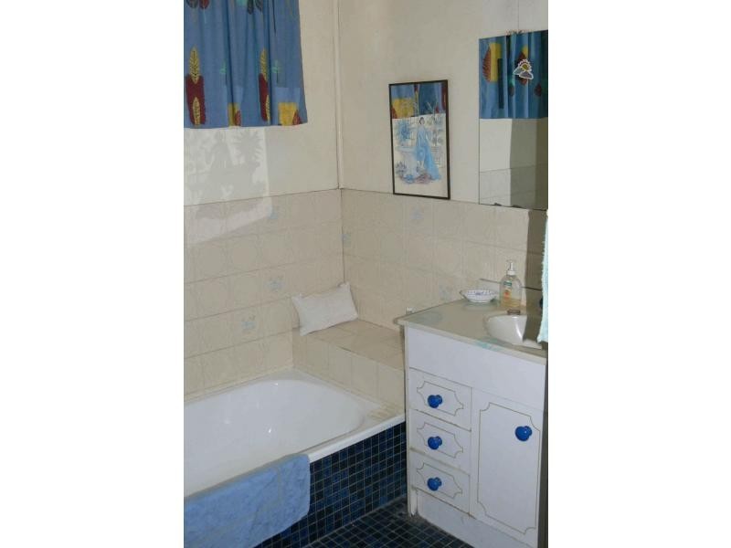
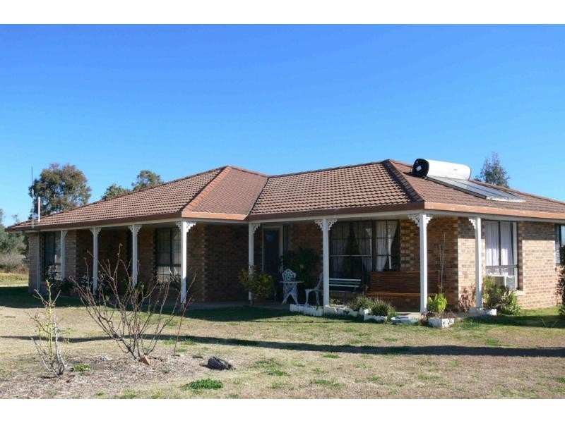
There are approximately 17,238 people living in Warwick but… who are they?
40
48%
52%
Suburb Stats
$884/WK
$215/WK
$325/WK
Value of property in Warwick and nearby suburbs
Warwick
Tingoora
Nanango
Stanthorpe
Average Home Price$314,784Average Rental Price$252Household Size2.5
Average Home Price$181,838Average Rental Price$235Household Size2.4
Average Home Price$240,701Average Rental Price$231Household Size2.4
Average Home Price$310,018Average Rental Price$251Household Size2.3
Water Useper year per person
0.62mln. litres
State Average 0.68 mln. litres
Nat. Average 0.74 mln. litres
Greenhouse Pollutionper year per person
17.3tonnes
State Average 18.38 tonnes
Nat. Average 20.3 tonnes
Dwelling Types
91%
6%
2%
Most Common Suburb Professions
16% Labourers…
14% Technicia…
13% Managers…
12% Clerical…
Nearby shopping: village shopping centre, rose city shopping world centre management
Nearby schools: glennie heights preschool, warwick community kindergarten, australian college of phytotherapy pty ltd, warwick central school
Nearby cafes: the cherry tree coffee & dining, brysons place, char-belas restaurant
Nearby doctors: southern downs dental, condamine medical centre - dr ross hetherington, condamine medical centre - dr evan ackermann, guy street dental
Nearby hospitals: southern downs district health services, condamine medical centre
Nearby cinemas: warwick twin cinema
Nearby pharmacies: discount drug store, john duggan amcal chemist, warwick friendly society pharmacies, warwick friendly society pharmacy
Nearby police stations: warwick police station
Nearby parks: victoria park, kahlers oasis caravan park, tullock park, hamilton oval
Nearby restaurants: warwick rsl services & citizens memorial club, red rooster warwick rose city foodcourt, chung hing licensed chinese restaurant, brysons place