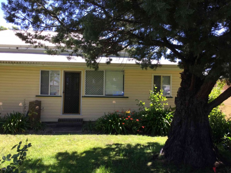
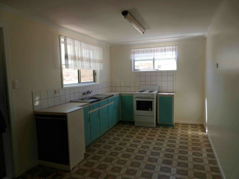
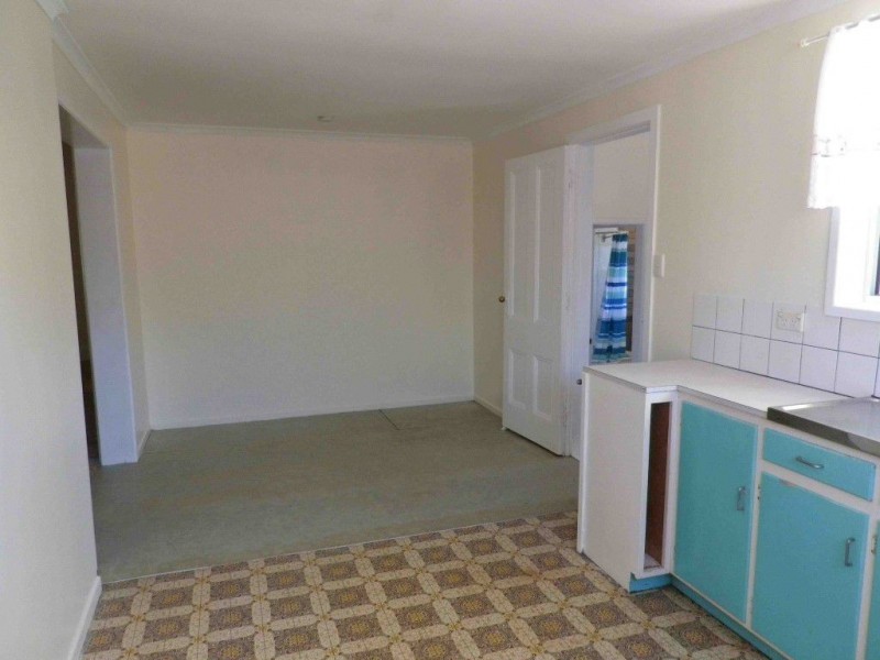
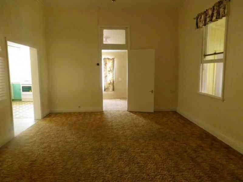
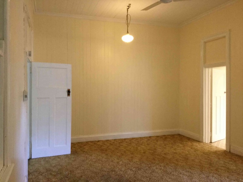
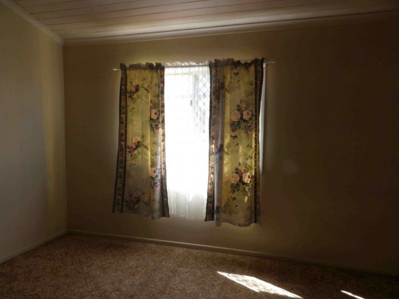
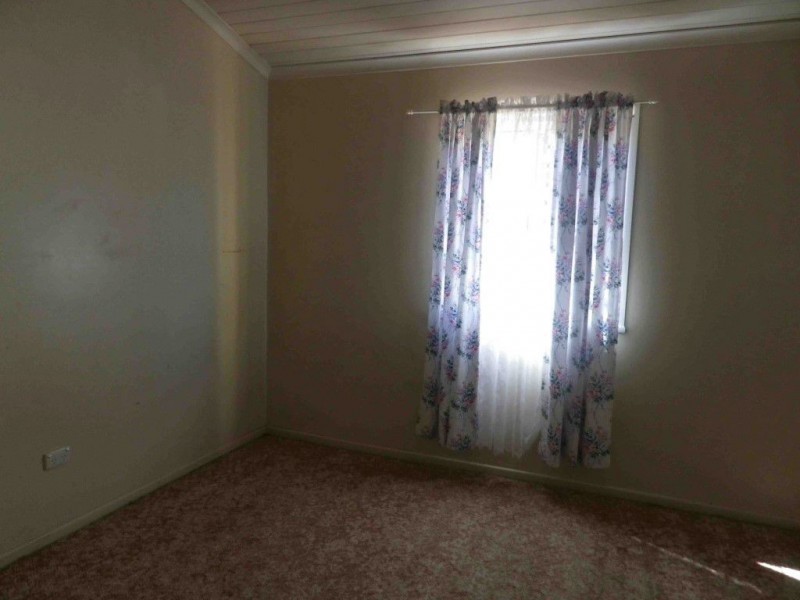
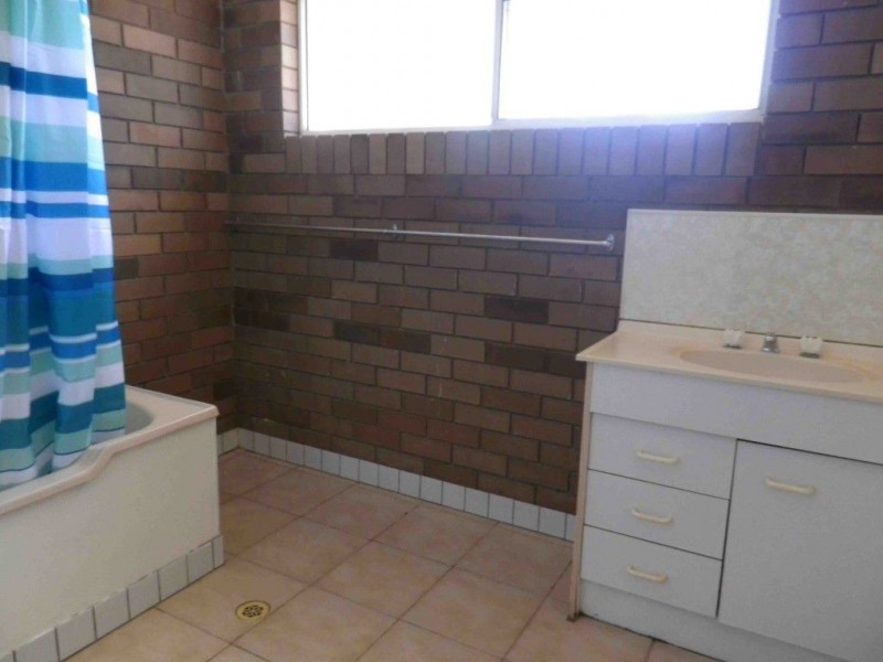
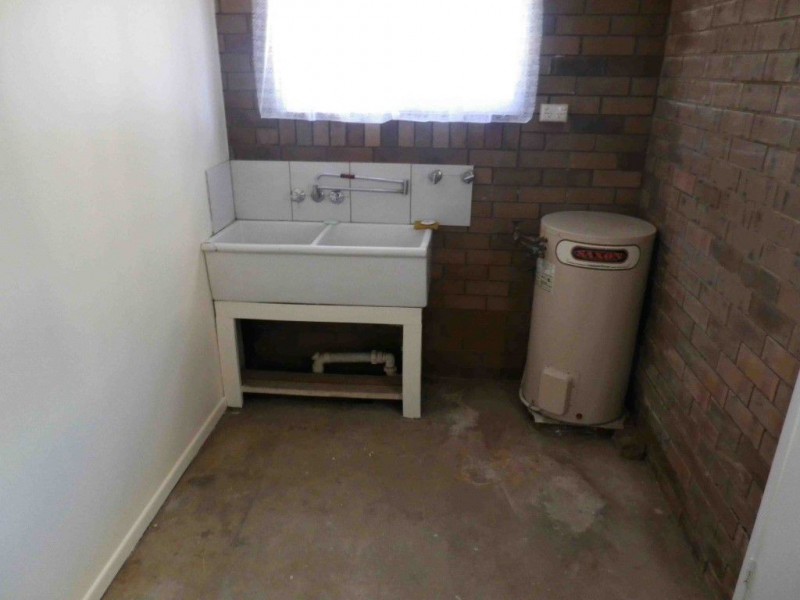
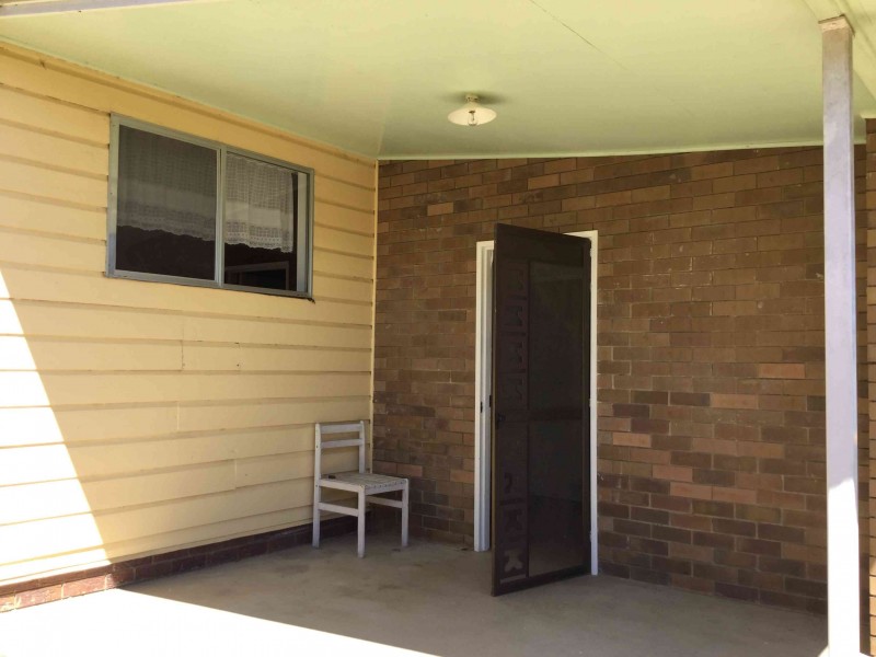
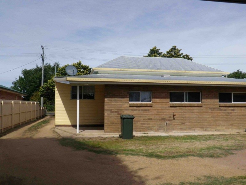
There are approximately 17,238 people living in Warwick but… who are they?
40
48%
52%
Suburb Stats
$884/WK
$215/WK
$325/WK
Value of property in Warwick and nearby suburbs
Warwick
Booroobin
Bald Knob
Upper Yarraman
Average Home Price$314,784Average Rental Price$252Household Size2.5
Average Home Price$1,105,833Average Rental Price$335Household Size2.3
Average Home Price$1,036,429Average Rental Price$363Household Size2.3
Average Home Price$255,000Average Rental Price$239Household Size2.3
Water Useper year per person
0.62mln. litres
State Average 0.68 mln. litres
Nat. Average 0.74 mln. litres
Greenhouse Pollutionper year per person
17.3tonnes
State Average 18.38 tonnes
Nat. Average 20.3 tonnes
Dwelling Types
91%
6%
2%
Most Common Suburb Professions
16% Labourers…
14% Technicia…
13% Managers…
12% Clerical…
Nearby shopping: village shopping centre, rose city shopping world centre management
Nearby schools: glennie heights state school, killarney school of dance, warwick community kindergarten, a country garden early childhood centres
Nearby cafes: the cherry tree coffee & dining, char-belas restaurant, brysons place
Nearby doctors: condamine medical centre - dr aleta slattery, warwick dental, condamine medical centre - dr louise clarke, condamine medical centre - dr ross hetherington
Nearby hospitals: southern downs district health services, condamine medical centre
Nearby cinemas: warwick twin cinema
Nearby pharmacies: warwick friendly society pharmacy, john duggan amcal chemist, discount drug store, warwick friendly society pharmacies
Nearby police stations: warwick police station
Nearby parks: kahlers oasis caravan park, hamilton oval, australiana park, leslie park
Nearby restaurants: mussel's restaurant, eagle boys pizza, shalimar indian restaurant, chung hing licensed chinese restaurant