Listing ID: 41167818
29 Weewondilla Road, Warwick QLD 4370
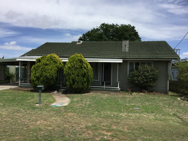
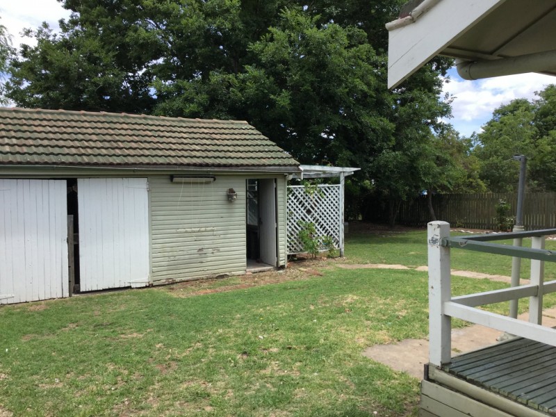
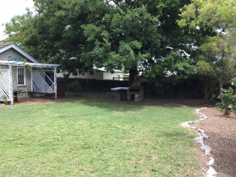
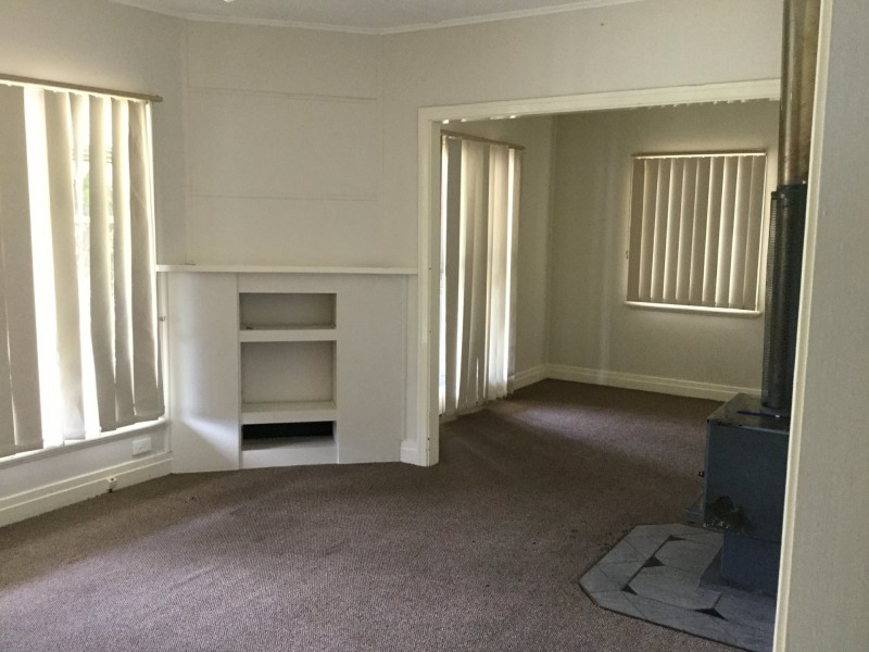
Affordable, Low Maintenance, Great Location
$400 wk
- Listing history:
- 19 Nov, 2015
- 24 Oct, 2022

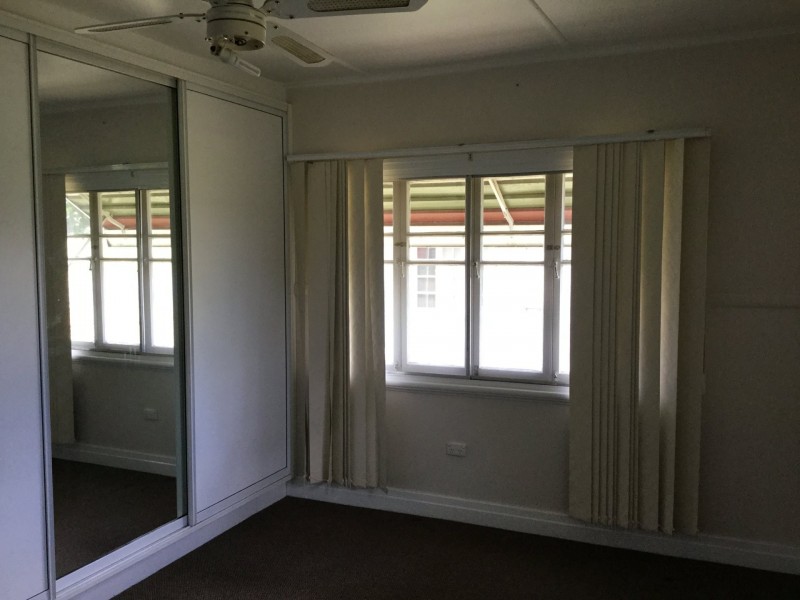
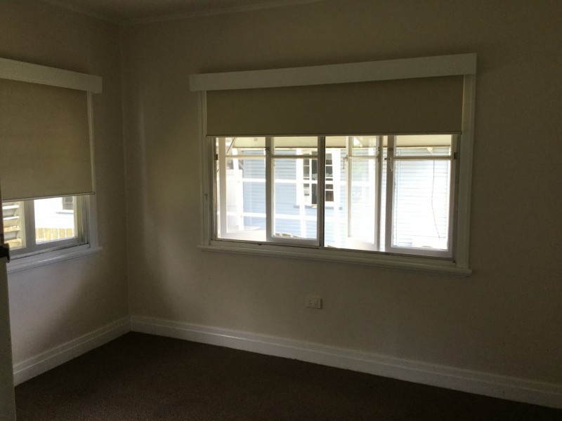
- 3
- 1
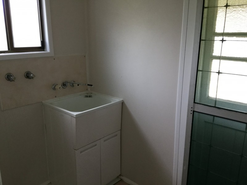
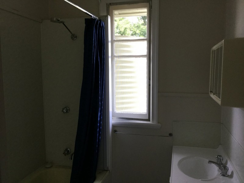
- 2
Affordable, Low Maintenance, Great Location


Listing ID: 41167818