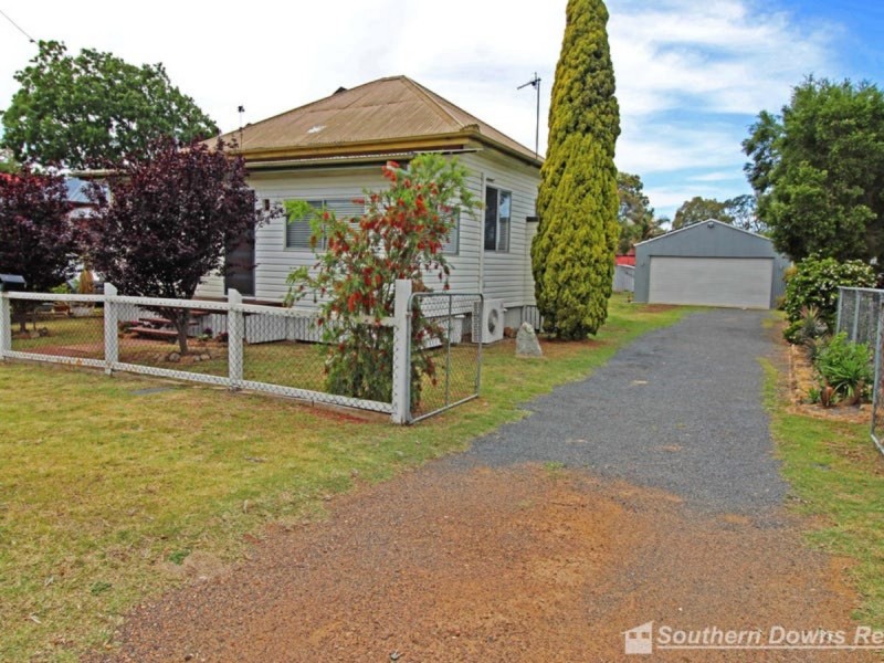
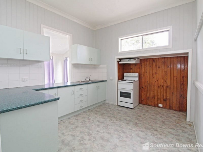
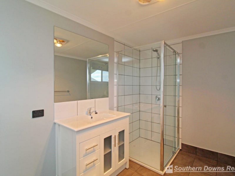
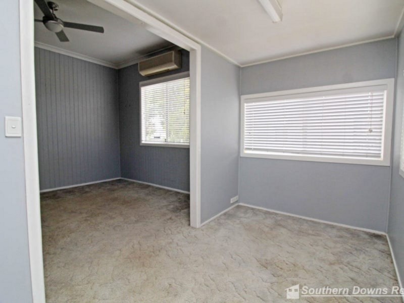
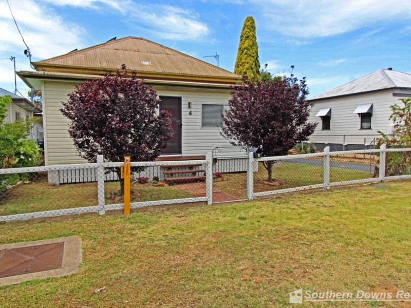
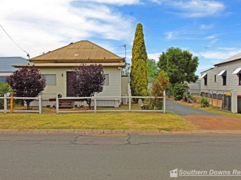
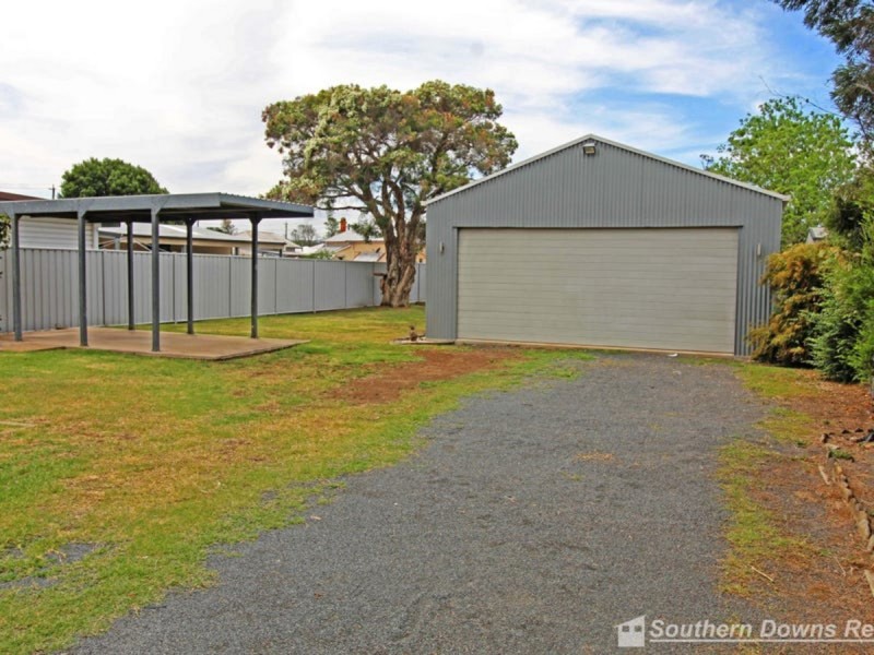
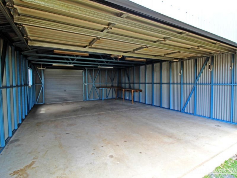
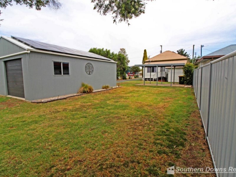
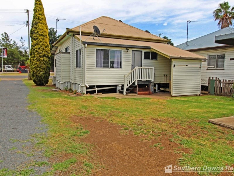
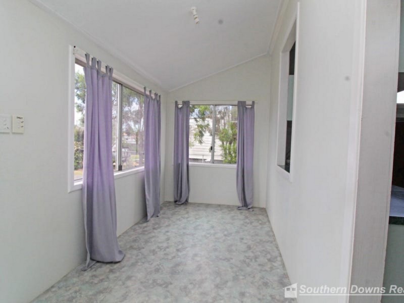
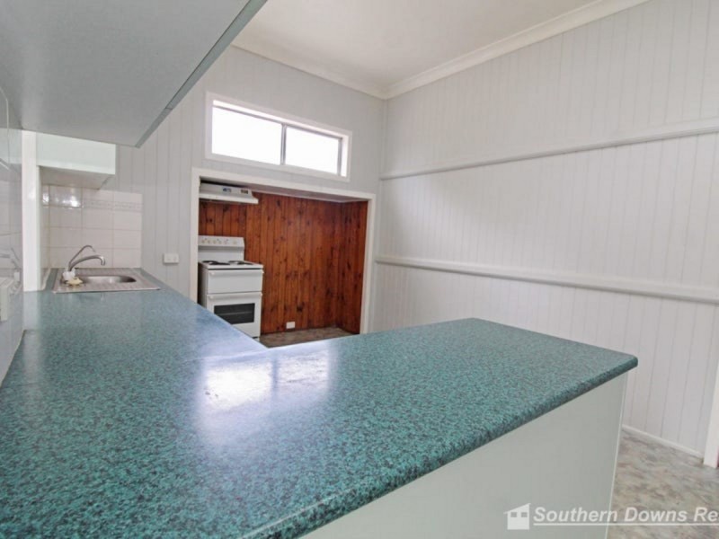
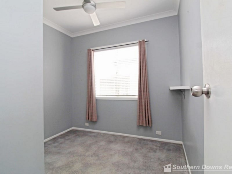
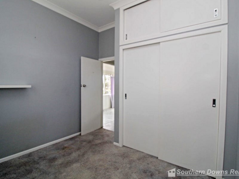
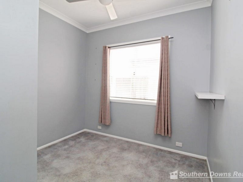
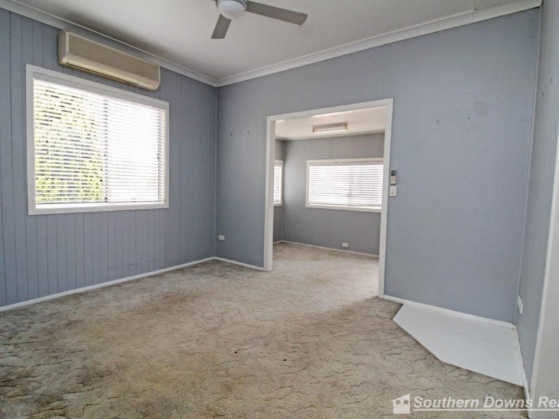
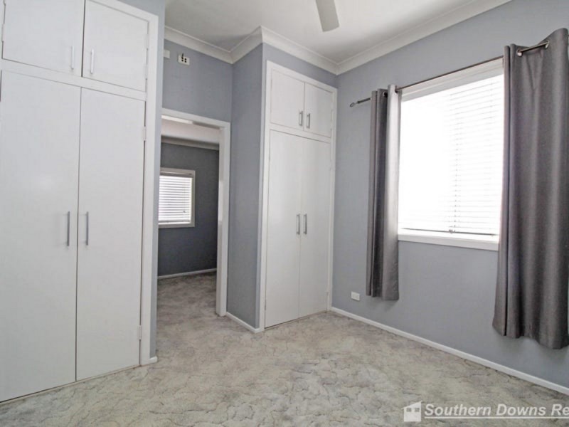
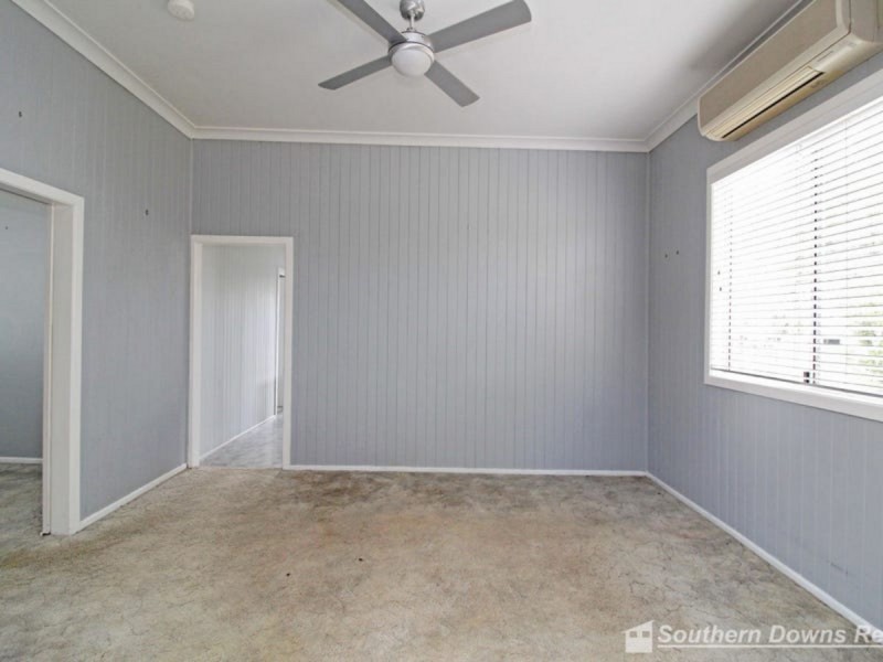
There are approximately 17,238 people living in Warwick but… who are they?
40
48%
52%
Suburb Stats
$884/WK
$215/WK
$325/WK
Value of property in Warwick and nearby suburbs
Warwick
Clintonvale
Roma
Birnam
Average Home Price$314,784Average Rental Price$252Household Size2.5
Average Home Price$3,366,667Average Rental Price$333Household Size2.5
Average Home Price$369,082Average Rental Price$382Household Size2.6
Average Home Price$0Average Rental Price$452Household Size2.8
Water Useper year per person
0.62mln. litres
State Average 0.68 mln. litres
Nat. Average 0.74 mln. litres
Greenhouse Pollutionper year per person
17.3tonnes
State Average 18.38 tonnes
Nat. Average 20.3 tonnes
Dwelling Types
91%
6%
2%
Most Common Suburb Professions
16% Labourers…
14% Technicia…
13% Managers…
12% Clerical…
Nearby shopping: village shopping centre, rose city shopping world centre management
Nearby schools: killarney school of dance, warwick state high school, warwick central school, australian college of phytotherapy pty ltd
Nearby cafes: the cherry tree coffee & dining, char-belas restaurant, brysons place
Nearby doctors: condamine medical centre - dr ross hetherington, dr toby cohen, condamine medical centre-dr lynton hudson, guy street dental
Nearby hospitals: condamine medical centre, southern downs district health services
Nearby cinemas: warwick twin cinema
Nearby pharmacies: discount drug store, warwick friendly society pharmacies, john duggan amcal chemist, warwick friendly society pharmacy
Nearby police stations: warwick police station
Nearby parks: leslie park, australiana park, kahlers oasis caravan park, tullock park
Nearby restaurants: red rooster warwick rose city foodcourt, shalimar indian restaurant, warwick rsl services & citizens memorial club, hungry jack's warwrick