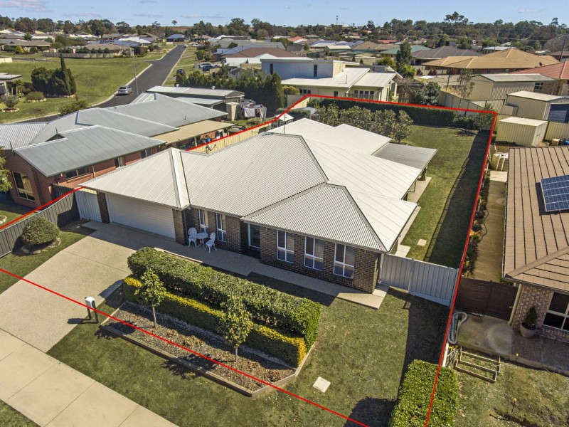
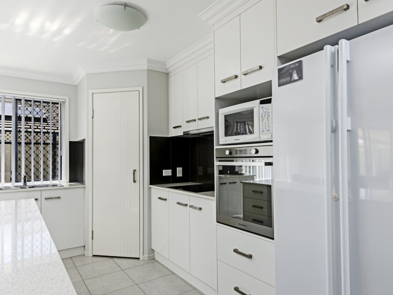
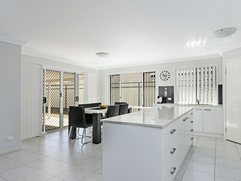
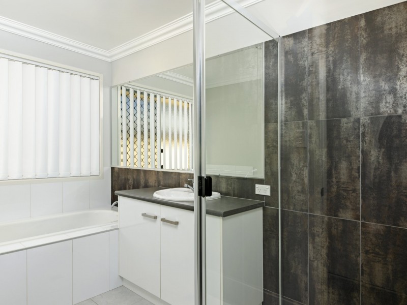
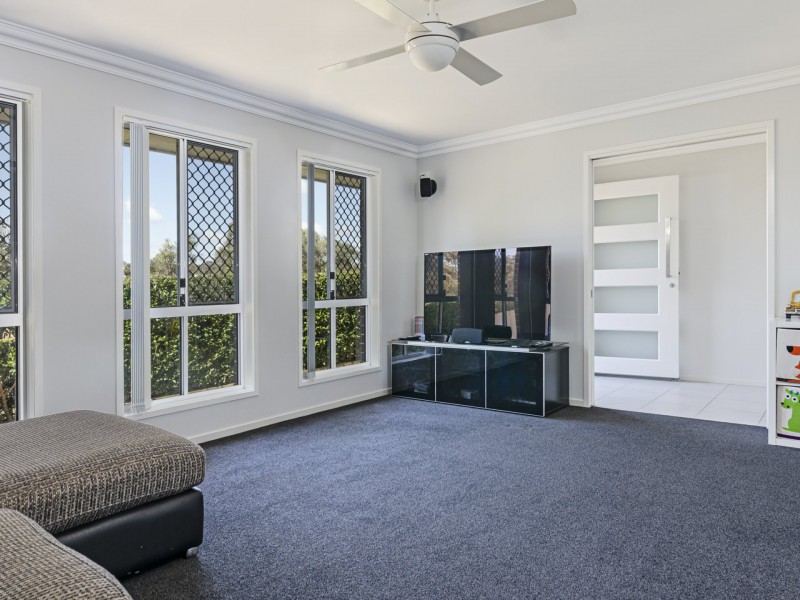
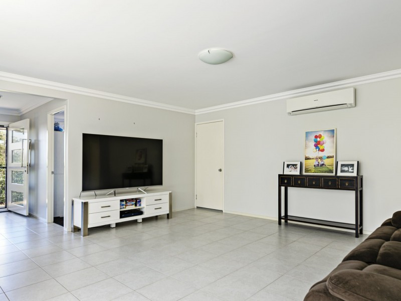
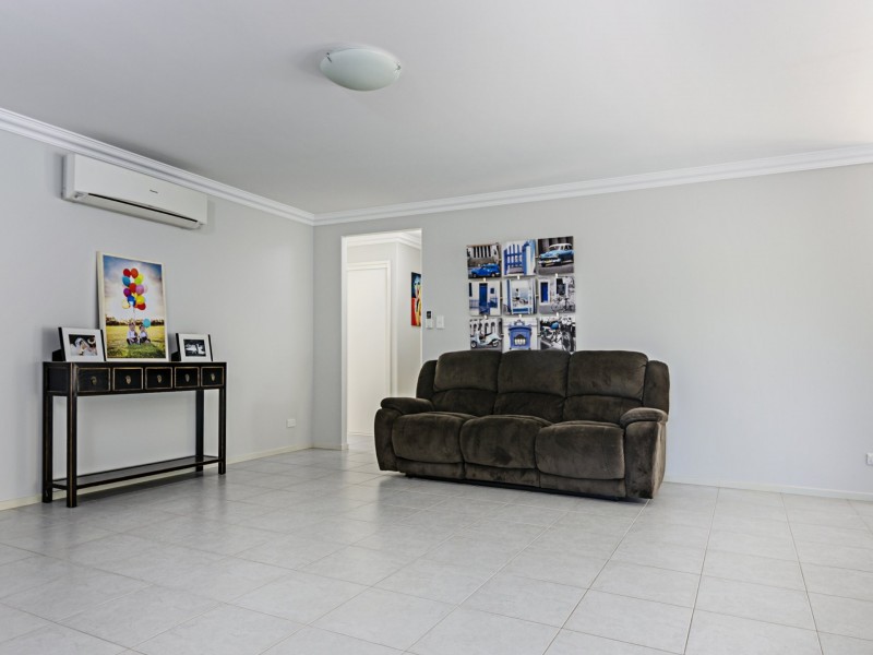
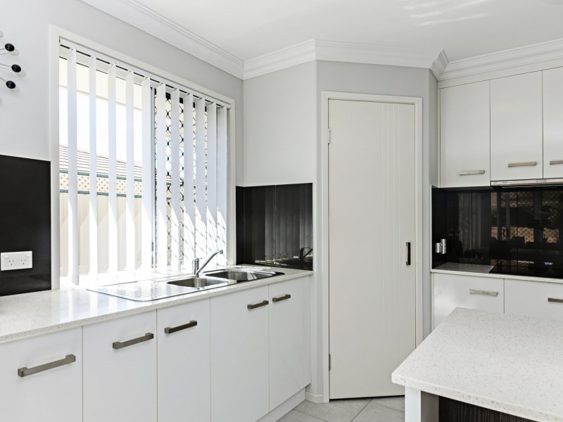
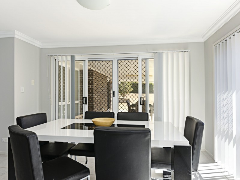
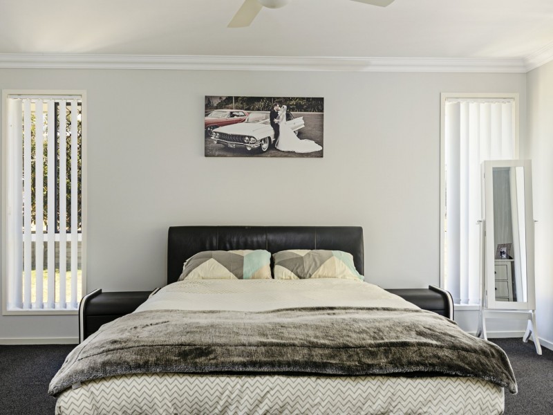
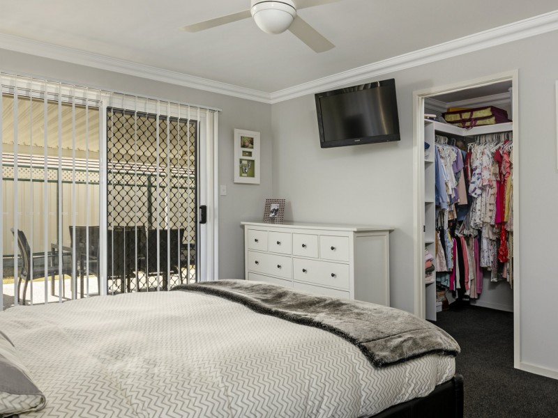
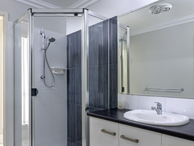
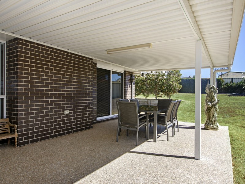
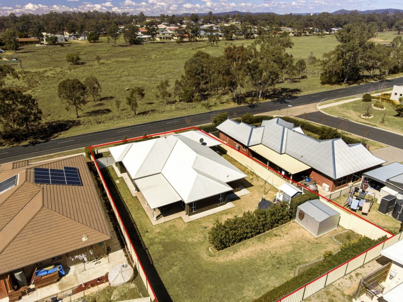
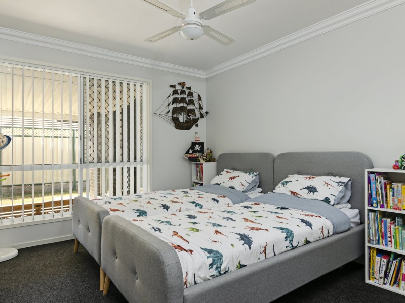
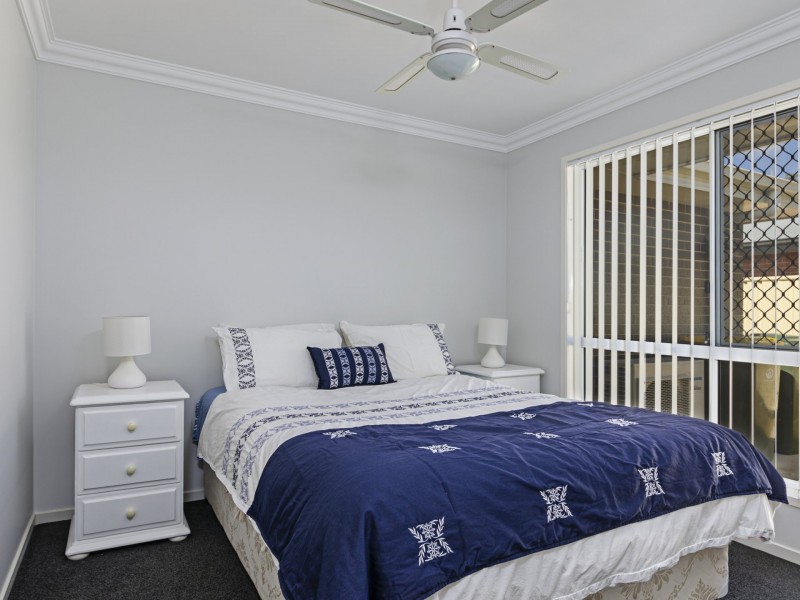
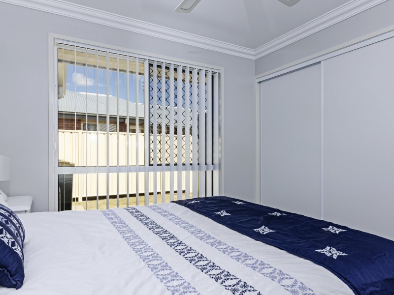
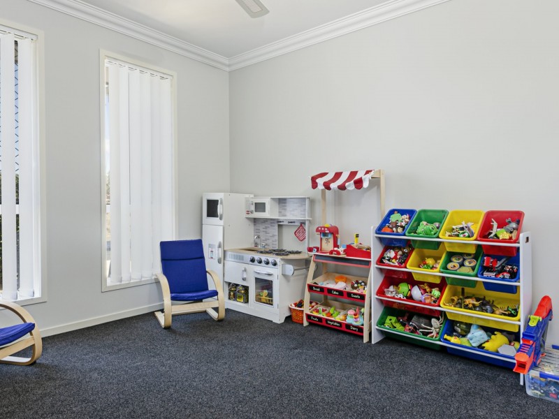
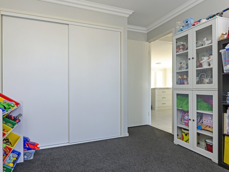
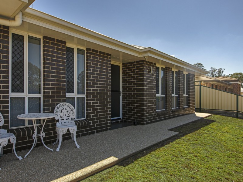
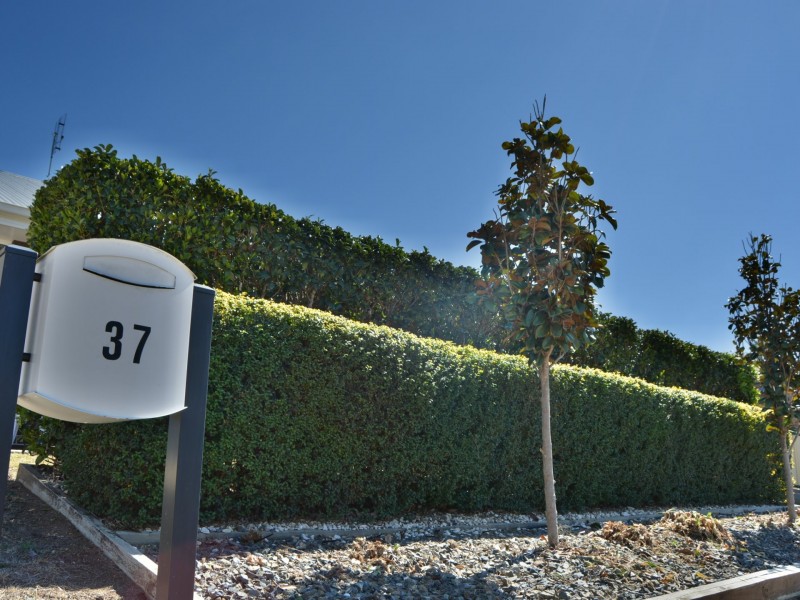
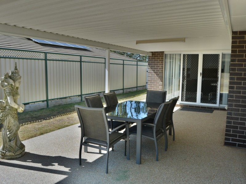
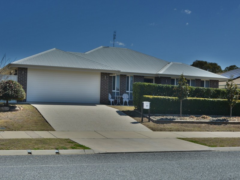
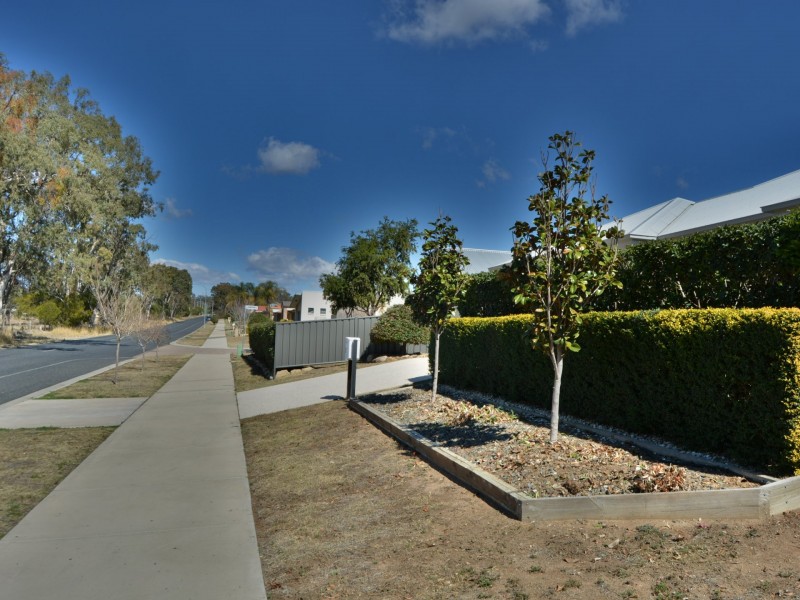
There are approximately 17,238 people living in Warwick but… who are they?
40
48%
52%
Suburb Stats
$884/WK
$215/WK
$325/WK
Value of property in Warwick and nearby suburbs
Warwick
Millmerran Woods
Jackson
Proston
Average Home Price$314,784Average Rental Price$252Household Size2.5
Average Home Price$167,500Average Rental Price$0Household Size2.5
Average Home Price$138,375Average Rental Price$198Household Size2
Water Useper year per person
0.62mln. litres
State Average 0.68 mln. litres
Nat. Average 0.74 mln. litres
Greenhouse Pollutionper year per person
17.3tonnes
State Average 18.38 tonnes
Nat. Average 20.3 tonnes
Dwelling Types
91%
6%
2%
Most Common Suburb Professions
16% Labourers…
14% Technicia…
13% Managers…
12% Clerical…
Nearby shopping: village shopping centre, rose city shopping world centre management
Nearby schools: st mary's primary school, warwick central school, warwick community kindergarten, australian college of phytotherapy pty ltd
Nearby cafes: char-belas restaurant, the cherry tree coffee & dining, brysons place
Nearby doctors: guy street dental, condamine medical centre - dr louise clarke, southern downs dental - dr. mike geisel, warwick dental
Nearby hospitals: southern downs district health services, condamine medical centre
Nearby cinemas: warwick twin cinema
Nearby pharmacies: warwick friendly society pharmacies, john duggan amcal chemist, discount drug store, warwick friendly society pharmacy
Nearby police stations: warwick police station
Nearby parks: leslie park, tullock park, hamilton oval, victoria park
Nearby restaurants: warwick rsl services & citizens memorial club, mussel's restaurant, domino's pizza warwick, red rooster warwick rose city foodcourt