Listing ID: 35093803
273 Lyndhurst Lane, Warwick QLD 4370
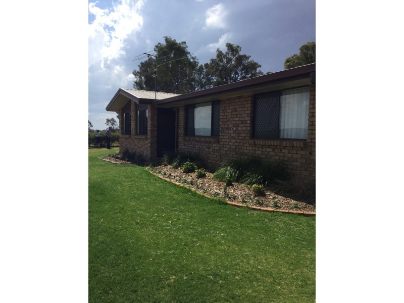
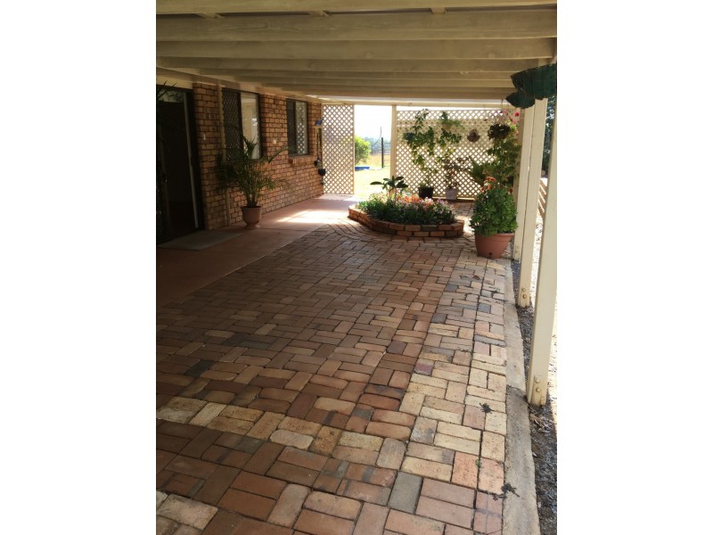
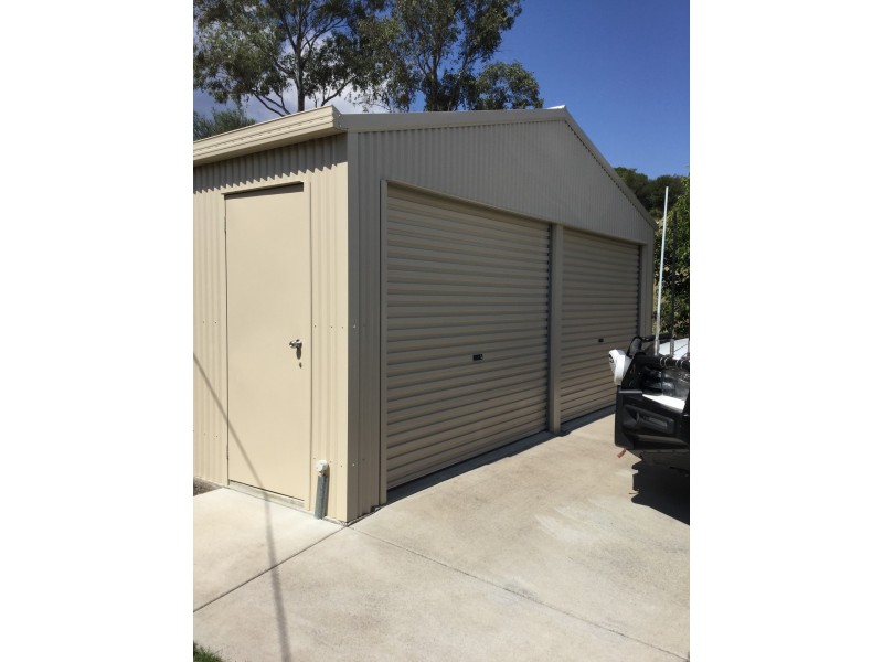
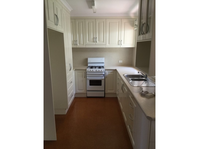
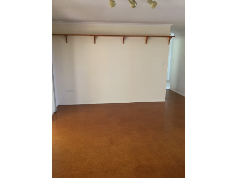
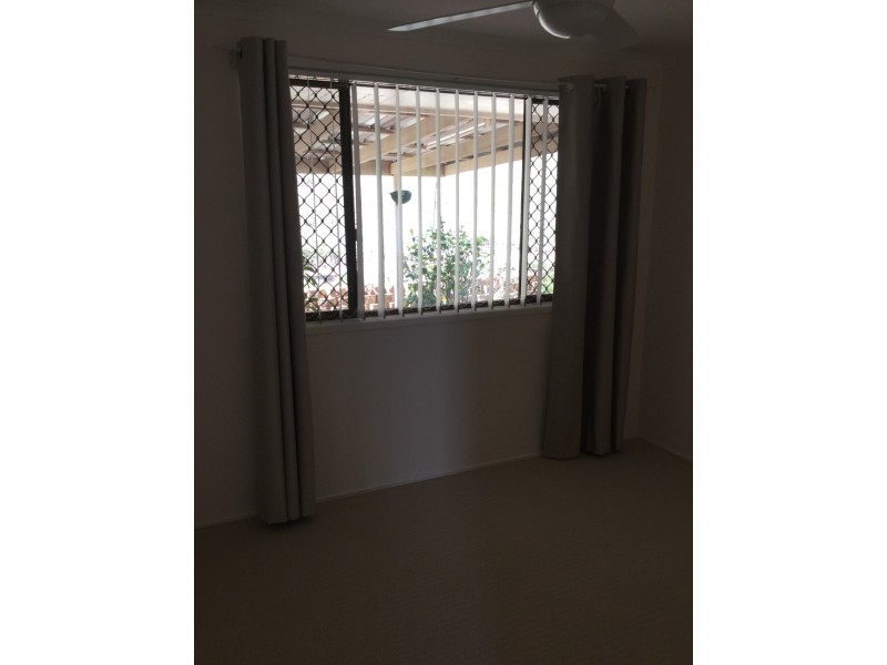
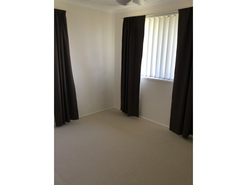
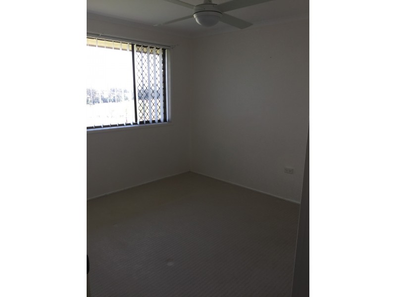
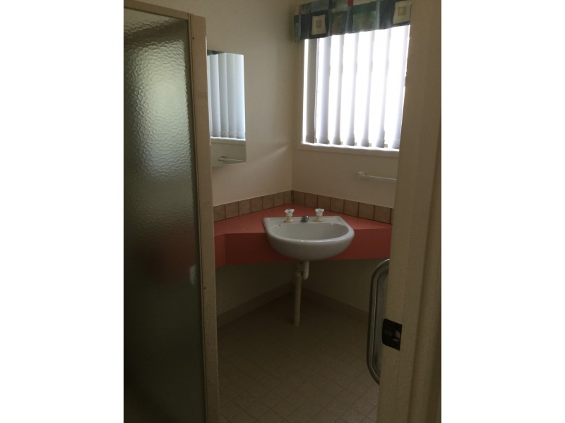
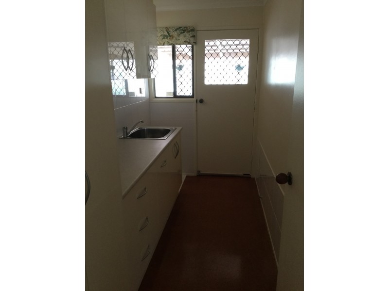
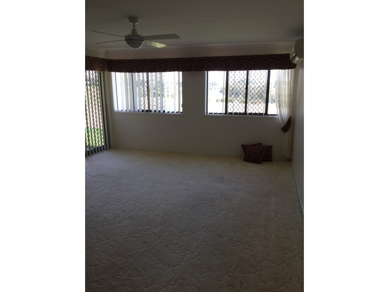
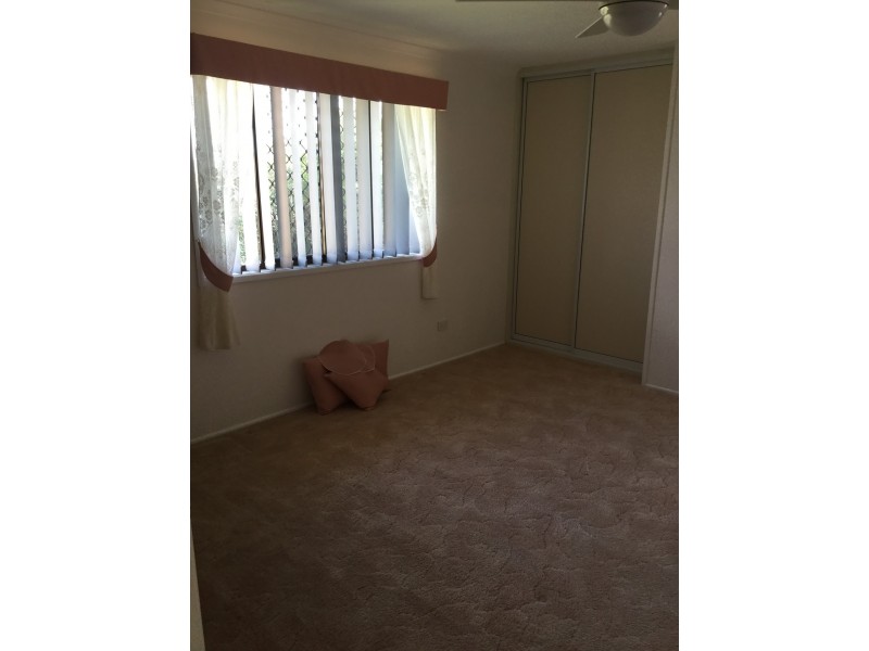
Large brick home with rural outlook
$360 wk
- Listing history:
- 15 Sep, 2017
- 30 Oct, 2017

- 4
- 2
- 2
Large brick home with rural outlook


Listing ID: 35093803