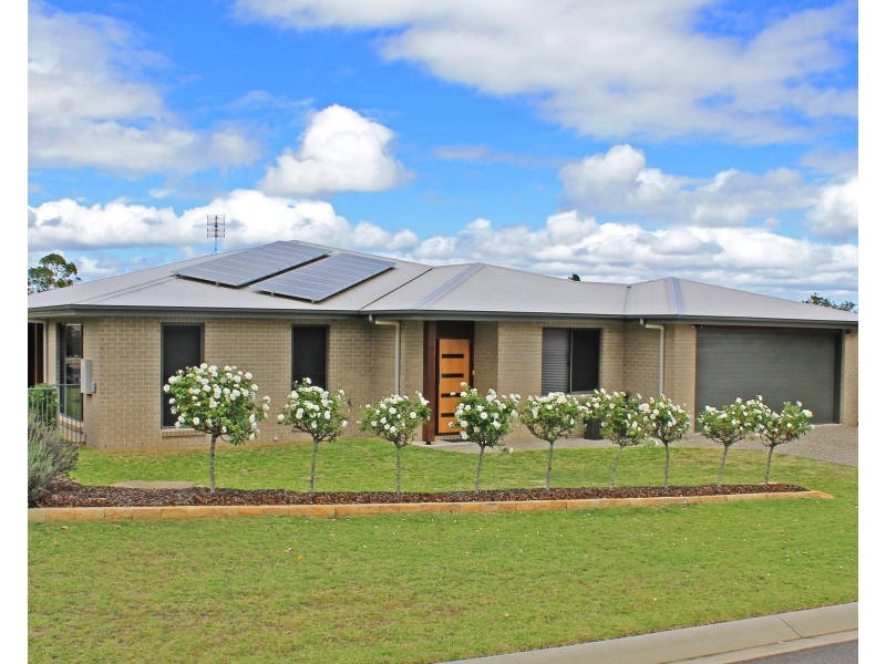
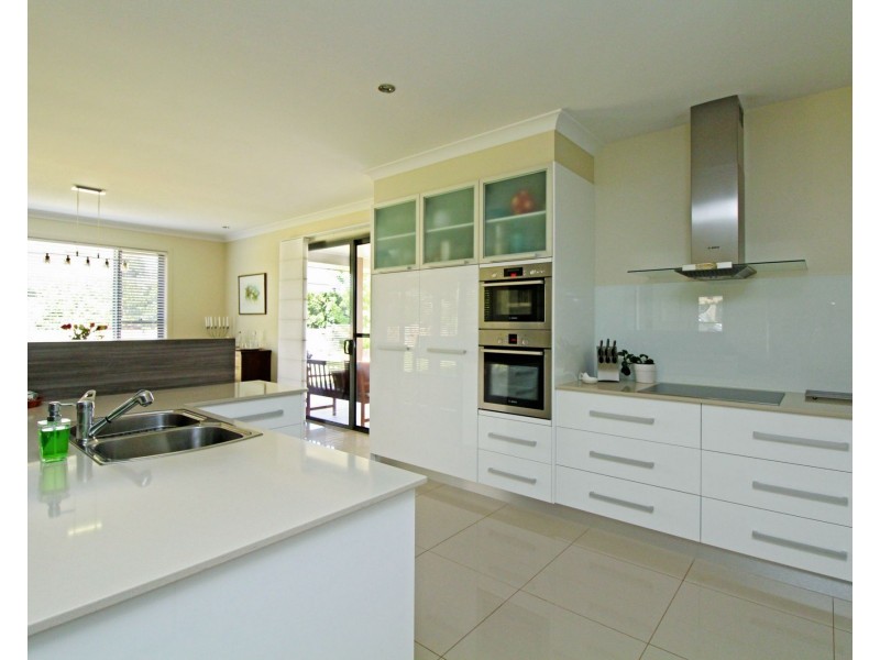
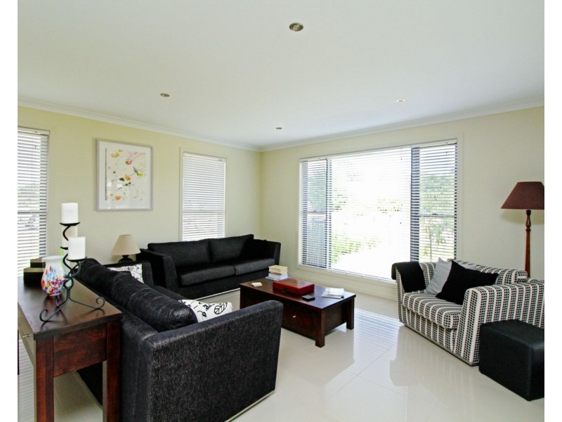
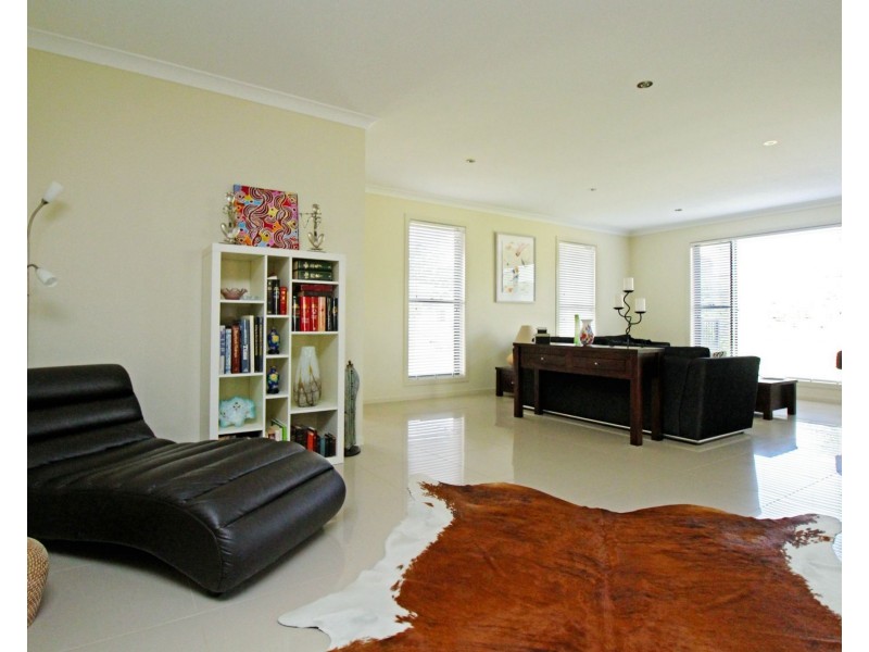
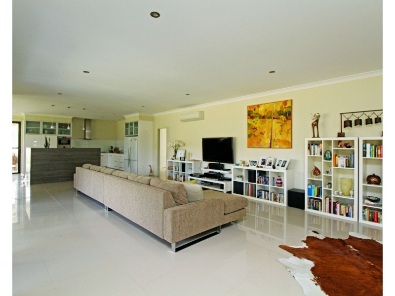
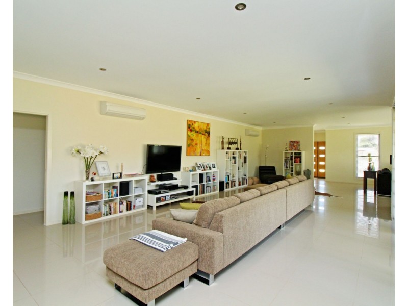
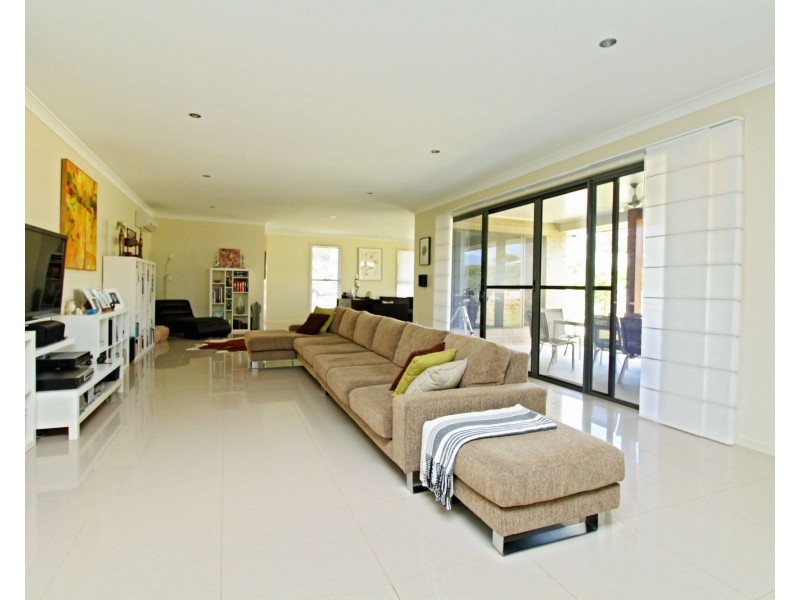
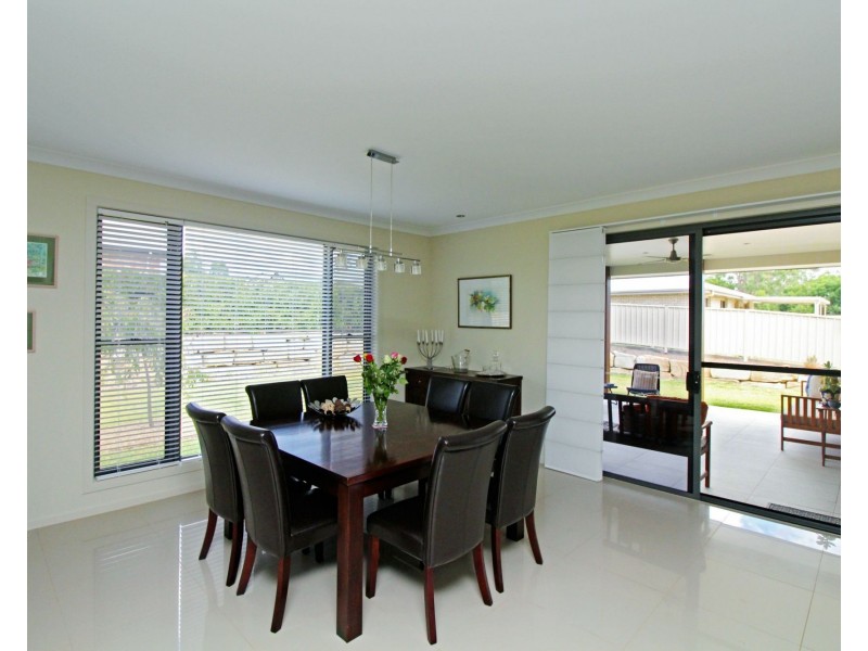
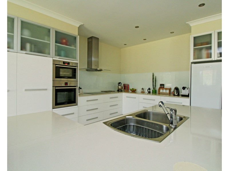
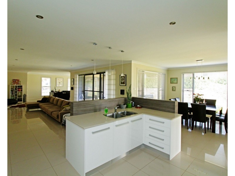
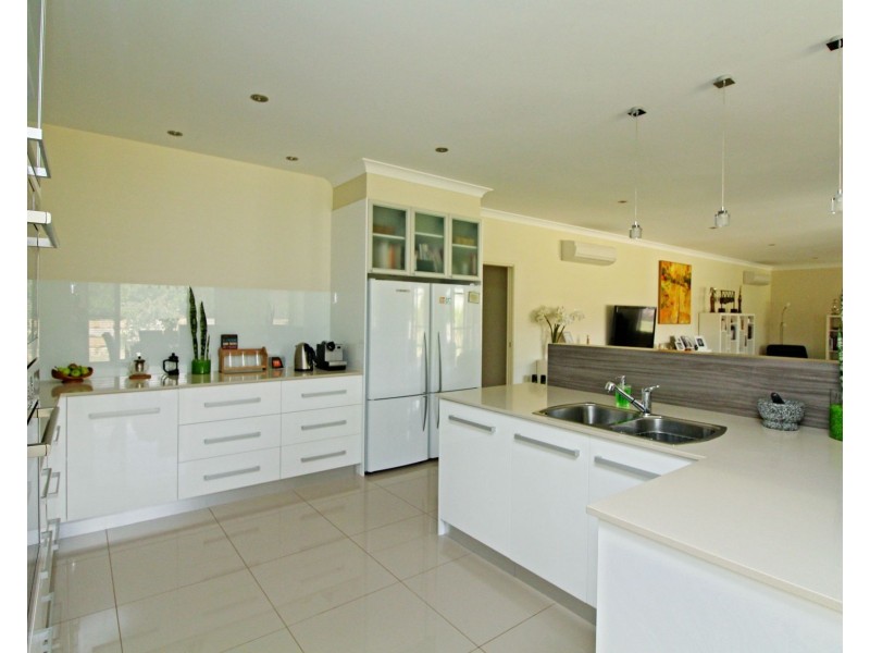
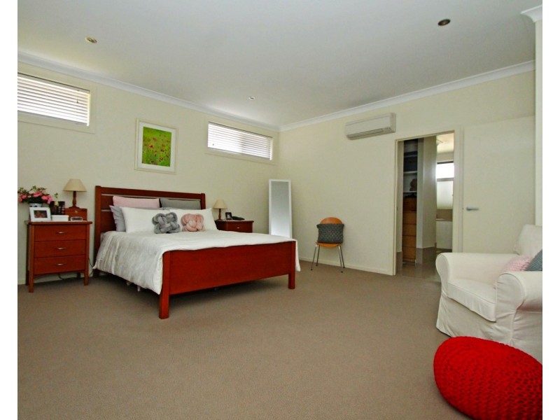
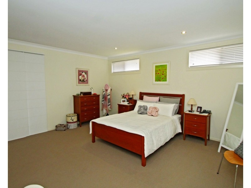
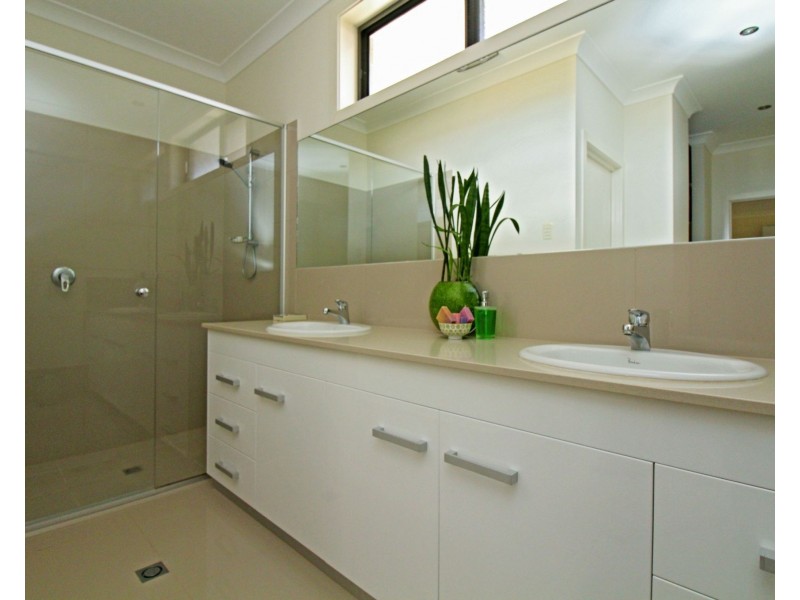
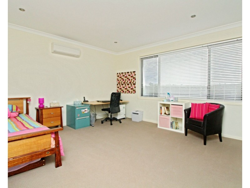
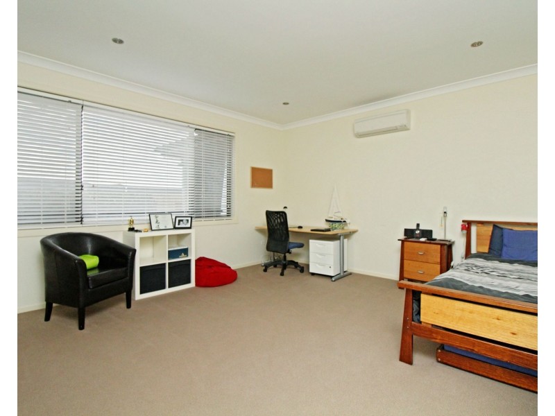
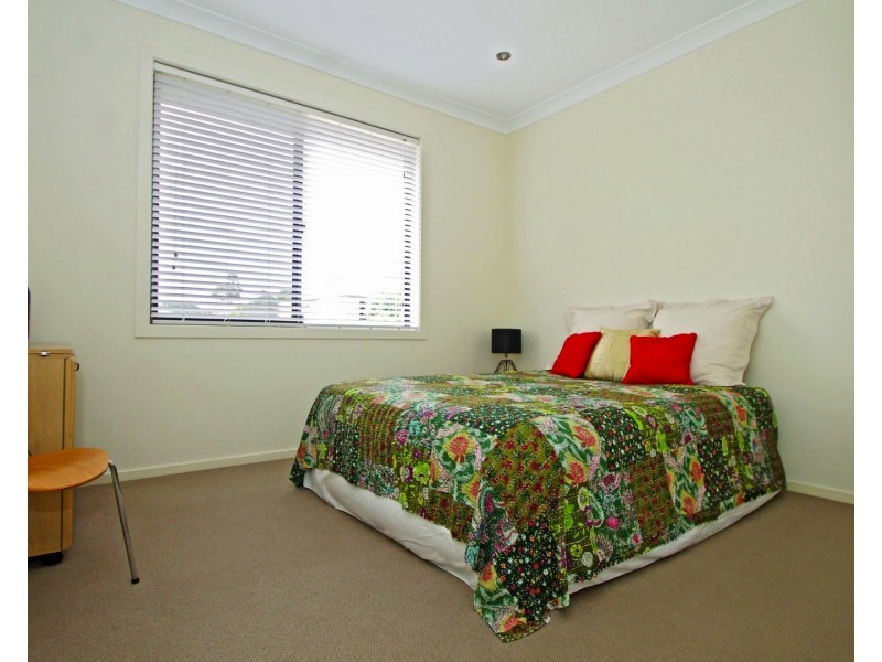
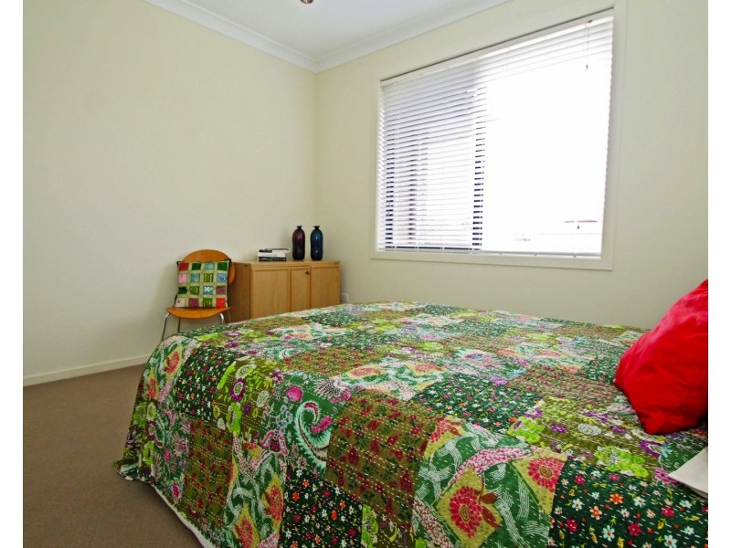
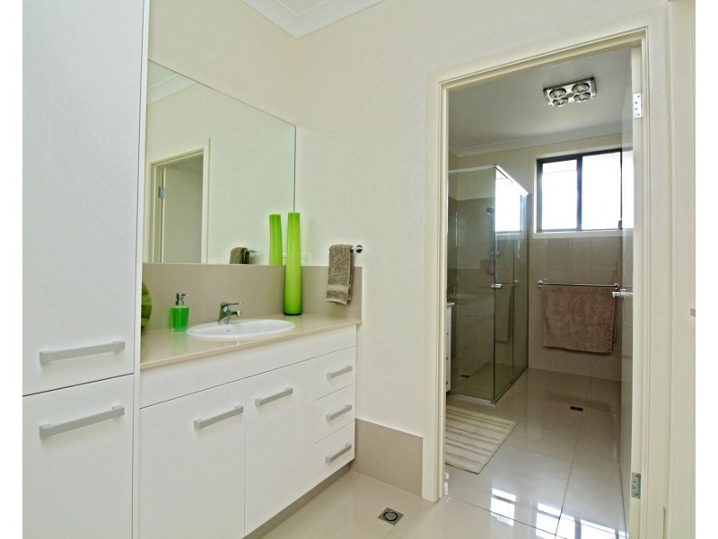
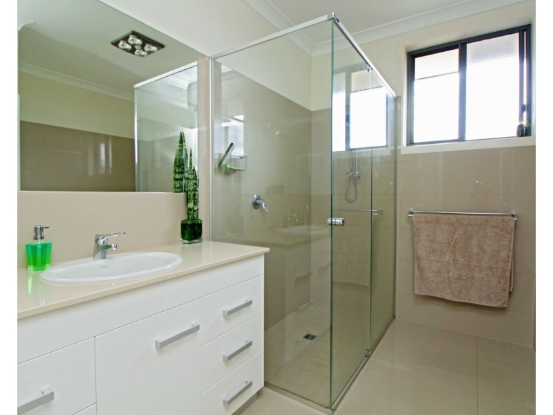
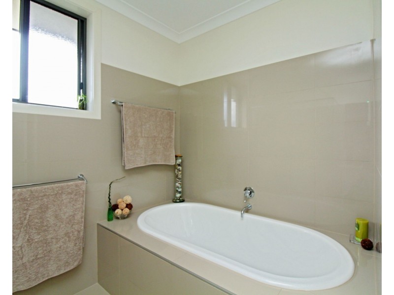
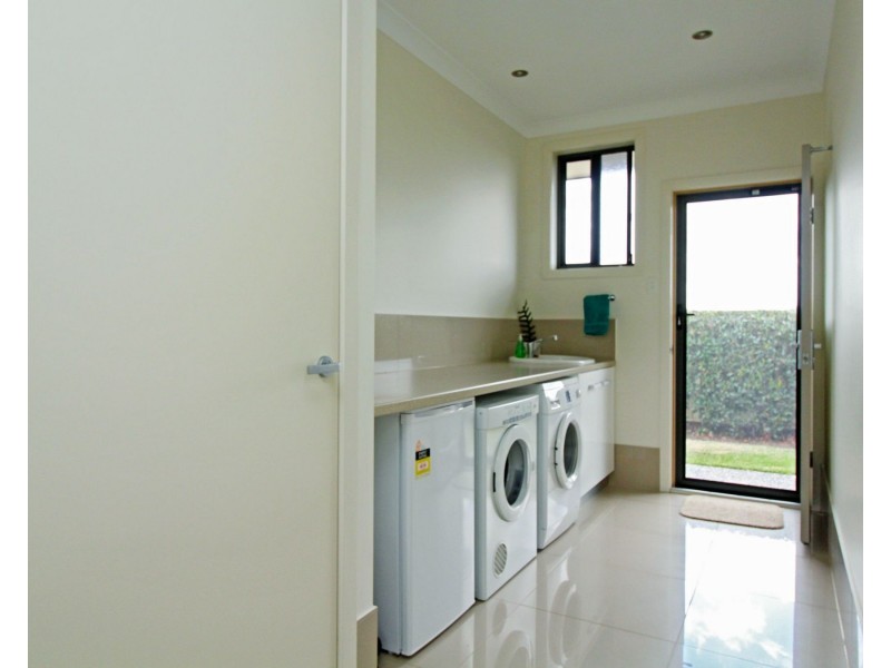
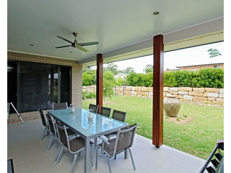
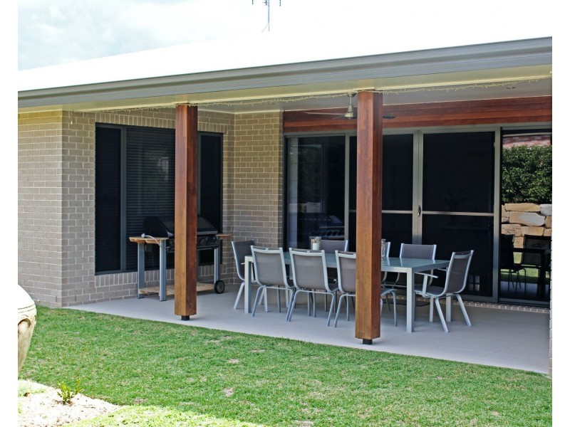
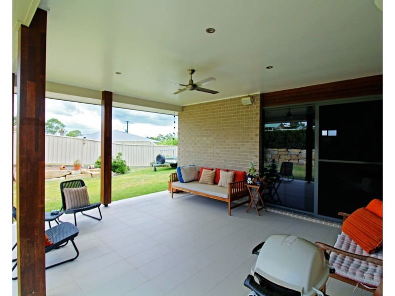
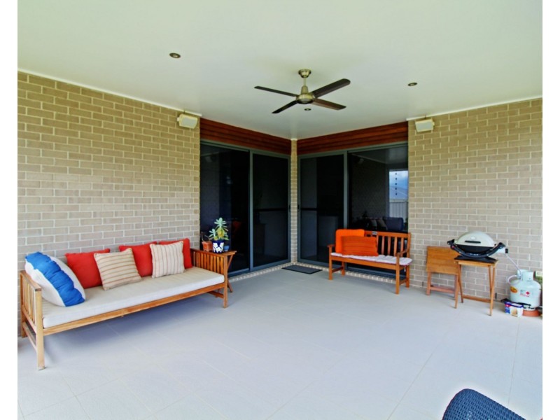
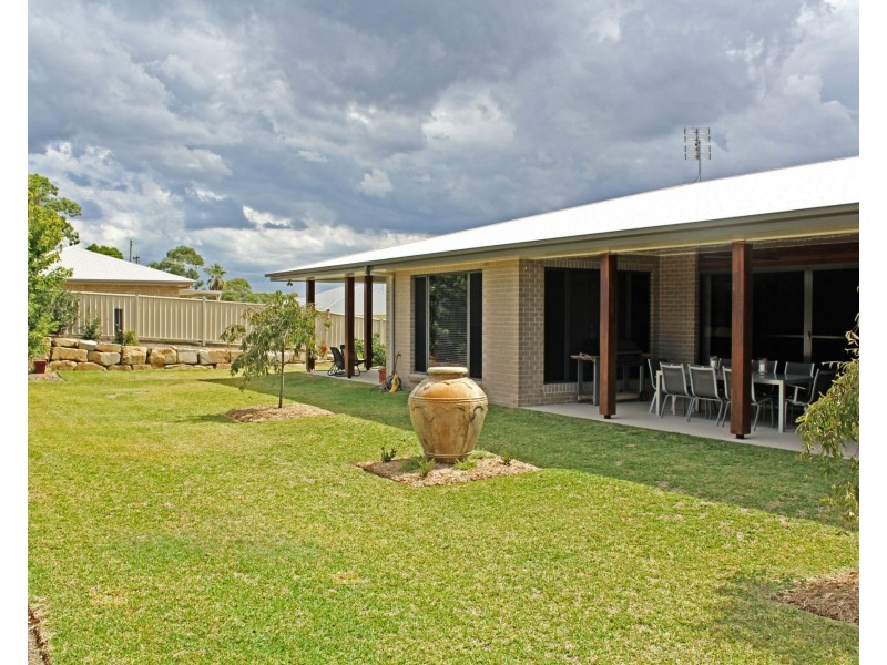
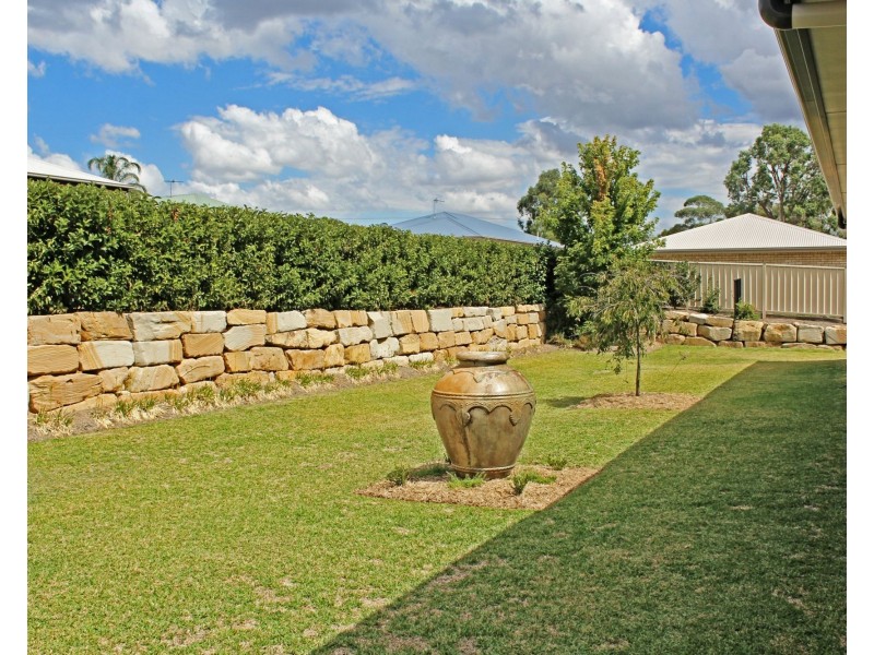
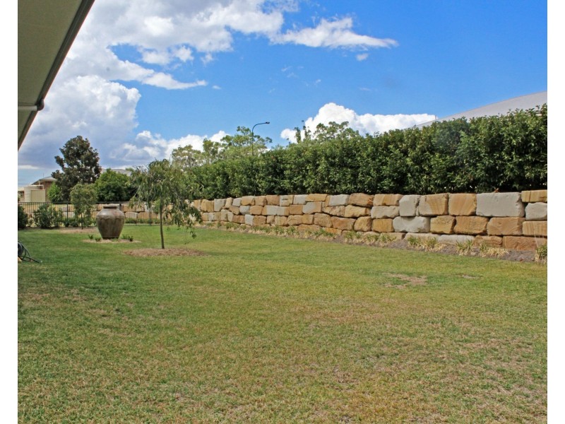
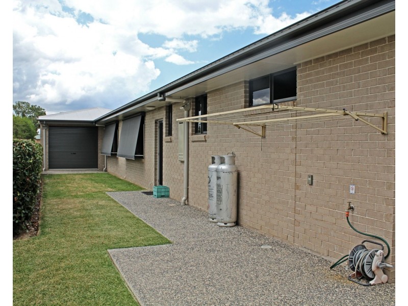
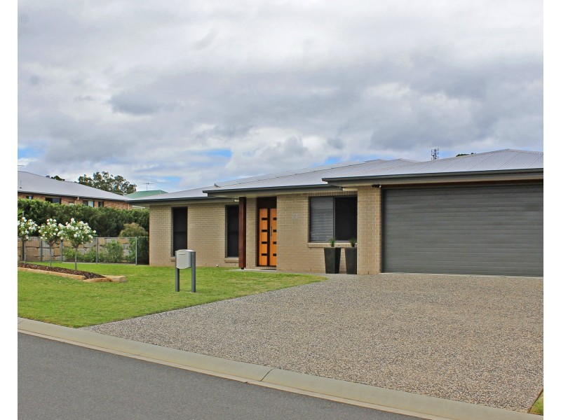
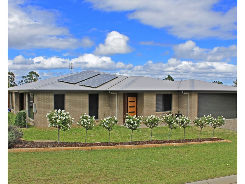
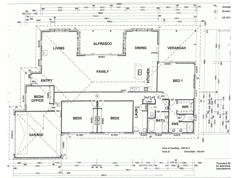
There are approximately 17,238 people living in Warwick but… who are they?
40
48%
52%
Suburb Stats
$884/WK
$215/WK
$325/WK
Value of property in Warwick and nearby suburbs
Warwick
Pratten
Cedar Grove
Proston
Average Home Price$314,784Average Rental Price$252Household Size2.5
Average Home Price$279,167Average Rental Price$236Household Size2.5
Average Home Price$458,327Average Rental Price$747Household Size2.8
Average Home Price$138,375Average Rental Price$198Household Size2
Water Useper year per person
0.62mln. litres
State Average 0.68 mln. litres
Nat. Average 0.74 mln. litres
Greenhouse Pollutionper year per person
17.3tonnes
State Average 18.38 tonnes
Nat. Average 20.3 tonnes
Dwelling Types
91%
6%
2%
Most Common Suburb Professions
16% Labourers…
14% Technicia…
13% Managers…
12% Clerical…
Nearby shopping: village shopping centre, rose city shopping world centre management
Nearby schools: warwick state high school, a country garden early childhood centres, australian college of phytotherapy pty ltd, glennie heights state school
Nearby cafes: brysons place, char-belas restaurant, the cherry tree coffee & dining
Nearby doctors: guy street dental, southern downs dental - dr. mike geisel, firm foundations podiatry, friendly feet podiatry
Nearby hospitals: condamine medical centre, southern downs district health services
Nearby cinemas: warwick twin cinema
Nearby pharmacies: warwick friendly society pharmacy, john duggan amcal chemist, discount drug store, warwick friendly society pharmacies
Nearby police stations: warwick police station
Nearby parks: tullock park, leslie park, warwick bowling club inc, hamilton oval
Nearby restaurants: mango camping, eagle boys pizza, kfc warwick, warwick rsl services & citizens memorial club