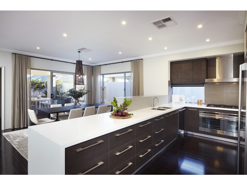
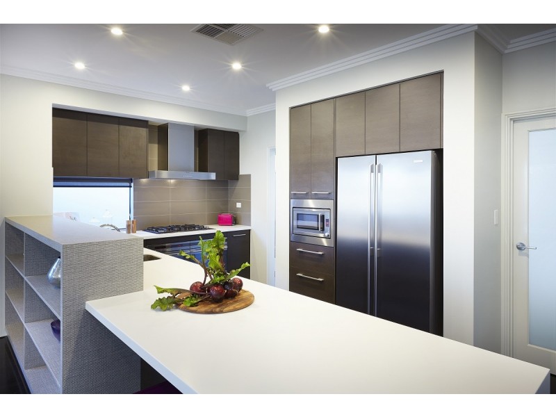
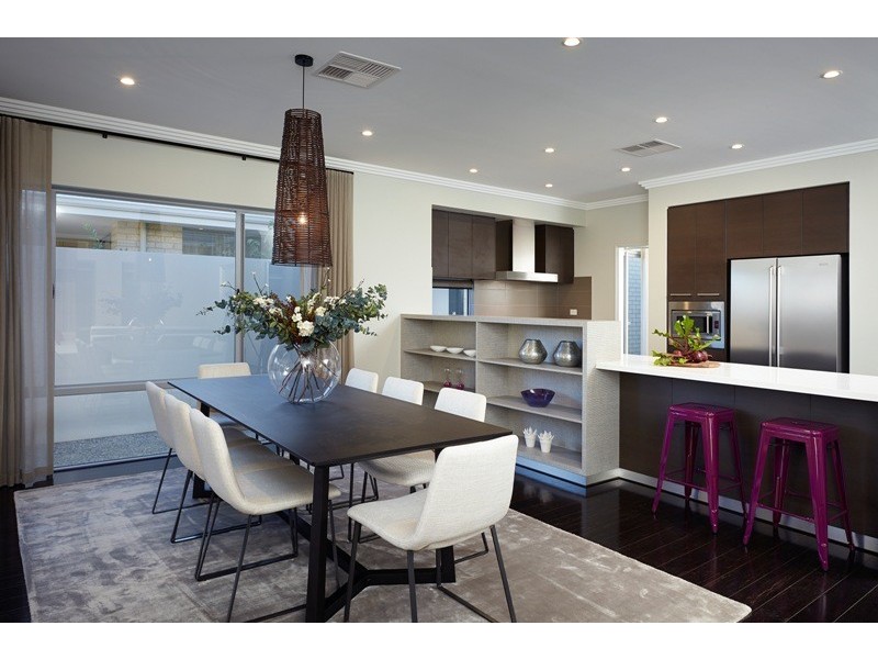
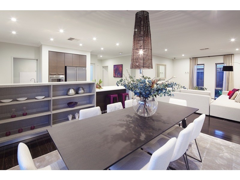
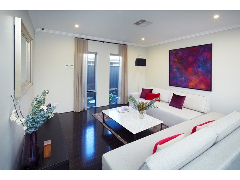
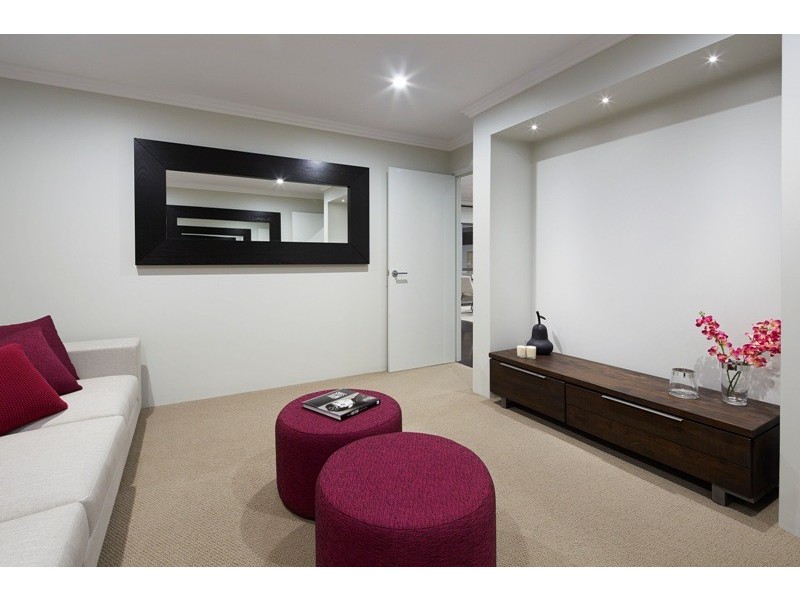
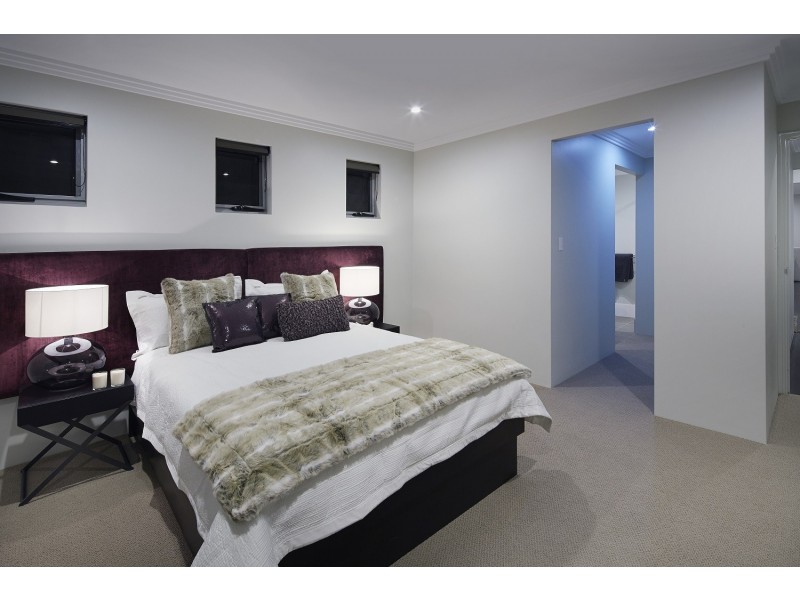
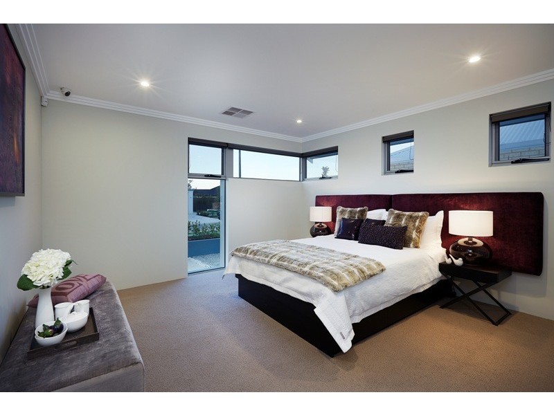
There are approximately 11,812 people living in Forrestfield but… who are they?
37
49%
51%
Suburb Stats
$1304/WK
$320/WK
$461/WK
Value of property in Forrestfield and nearby suburbs
Forrestfield
Parkerville
Bedfordale
Walliston
Average Home Price$442,380Average Rental Price$373Household Size2.5
Average Home Price$646,769Average Rental Price$462Household Size2.9
Average Home Price$1,072,478Average Rental Price$515Household Size2.7
Average Home Price$581,850Average Rental Price$432Household Size2.7
Water Useper year per person
0.73mln. litres
State Average 0.72 mln. litres
Nat. Average 0.74 mln. litres
Greenhouse Pollutionper year per person
17.7tonnes
State Average 18 tonnes
Nat. Average 20.3 tonnes
Dwelling Types
97%
1%
3%
Most Common Suburb Professions
19% Technicia…
18% Clerical…
13% Machinery…
11% Labourers…
Nearby shopping: forrestfield forum & marketplace
Nearby schools: hillside christian school, dawson park primary school, heritage college, woodlupine primary school
Nearby doctors: mead medical group, foothills medical group - dr s. wignell, st john of god pathology, a buzz from the bees
Nearby hospitals: forrestfield child health centre, mead medical group
Nearby police stations: forresfield police station
Nearby parks: magnolia way reserve, connaught street reserve, discovery holiday parks - perth, cutting edge kerbs
Nearby restaurants: the well caterers, lenard's chicken forrestfield forum & marketplace, red rooster forrestfield, commodore chinese restaurant & takeaway
Nearby gym: jetts forestfield
Nearby mechanic: forrestfield auto electrics, bridgestone earthmover tyres pty ltd., antique tyres wa, m'mates place
Nearby bar: freshia noodles & sushi bar, bottlemart - forrestfield tavern, hale road tavern