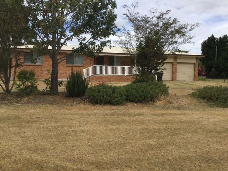
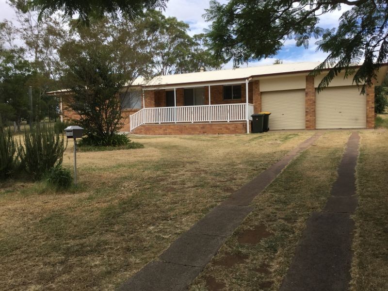
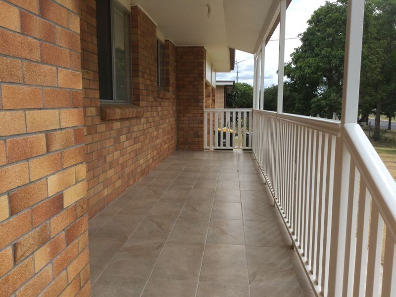
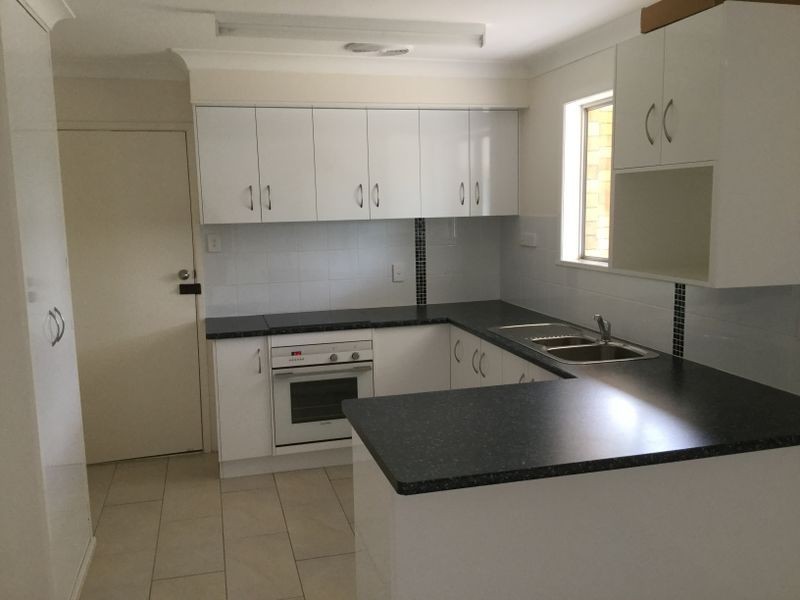
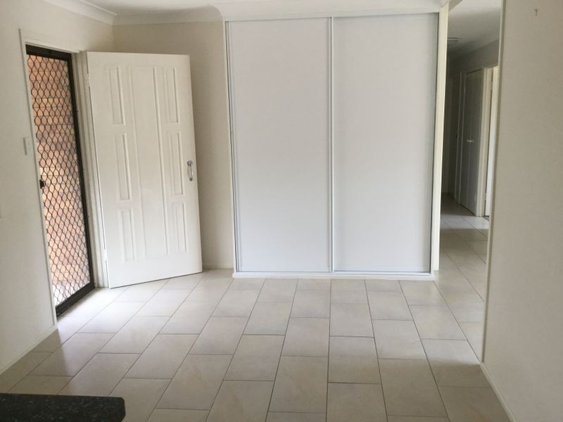
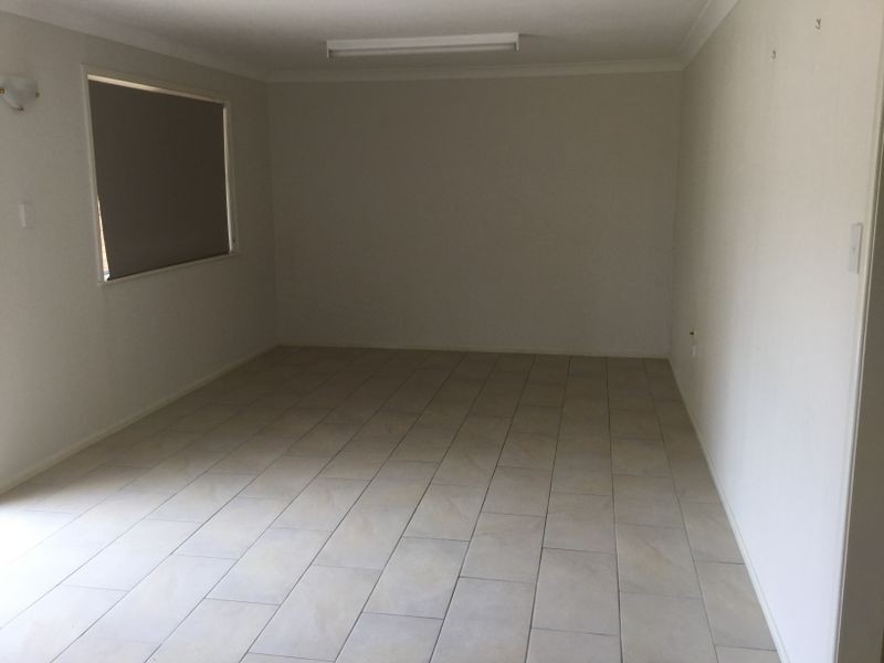
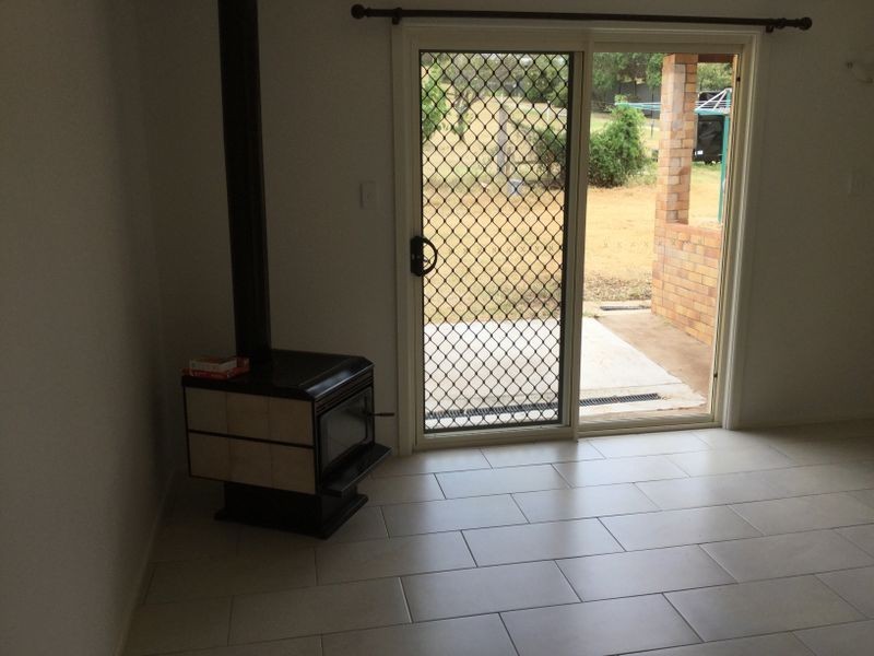
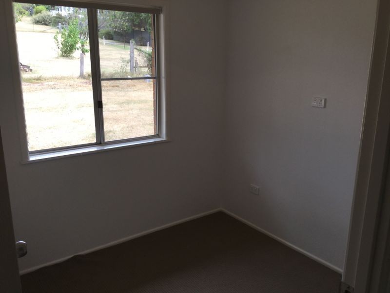
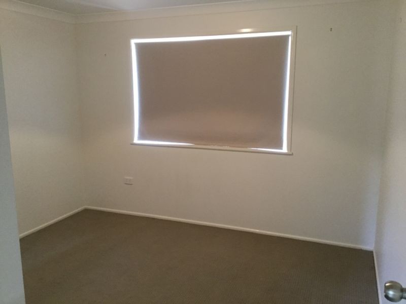
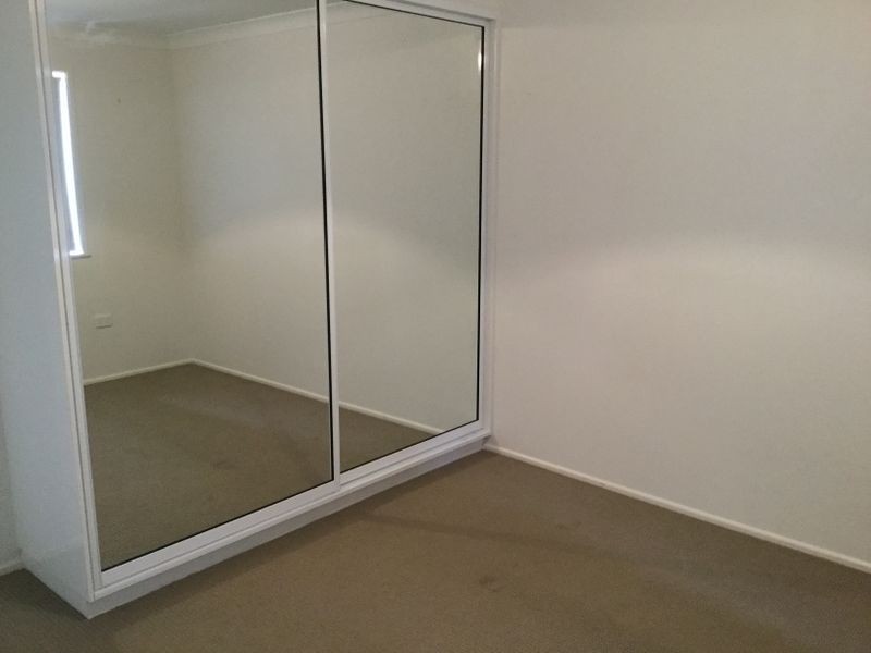
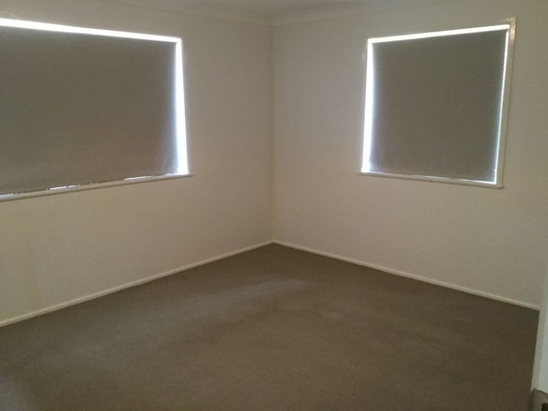
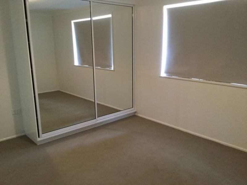
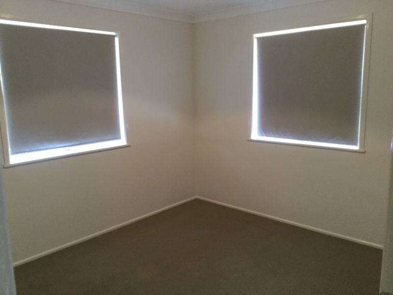
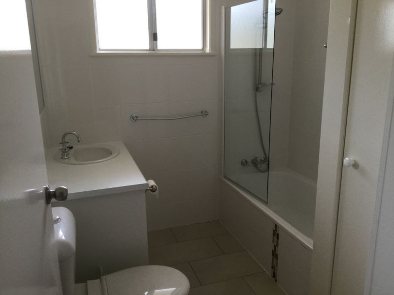
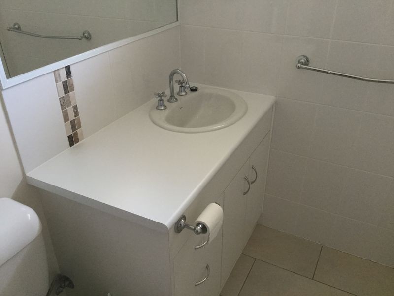
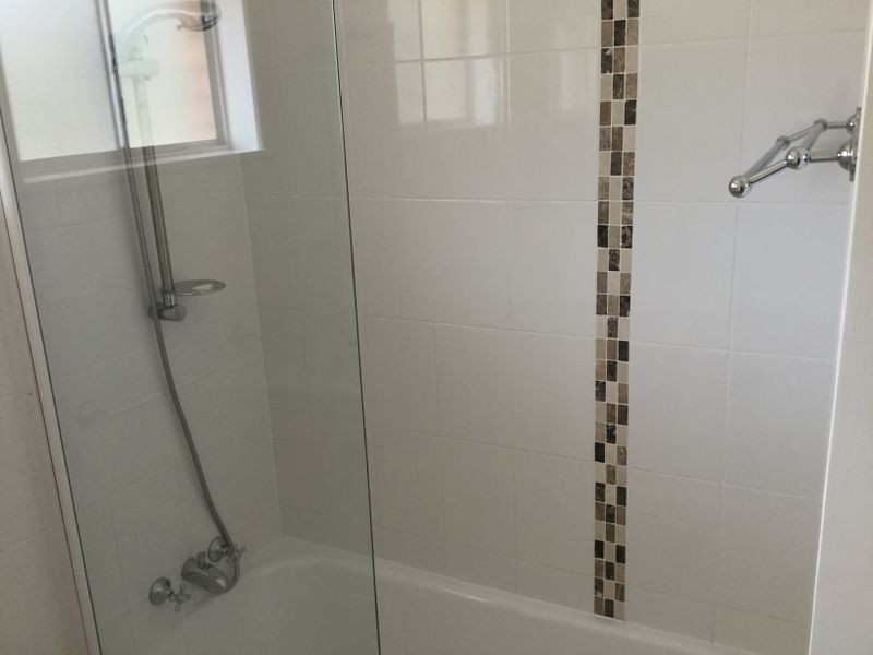
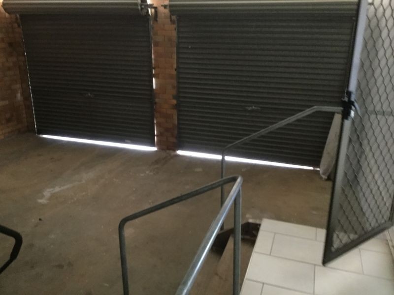
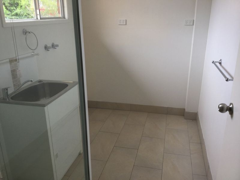
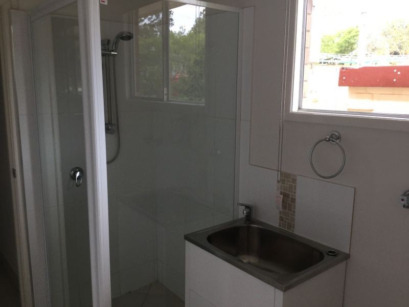
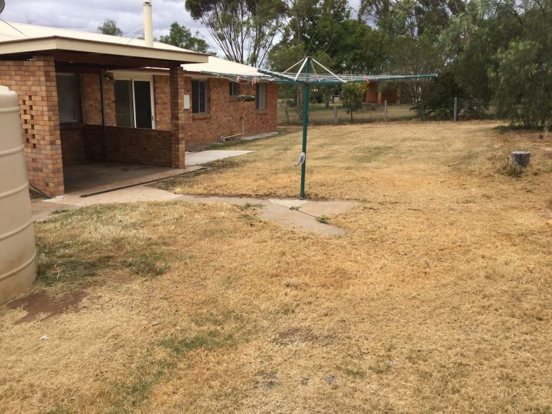
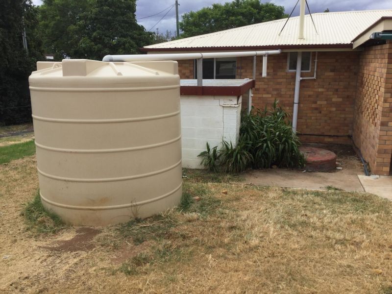
There are approximately 17,238 people living in Warwick but… who are they?
40
48%
52%
Suburb Stats
$884/WK
$215/WK
$325/WK
Value of property in Warwick and nearby suburbs
Warwick
Allora
Veresdale
Booroobin
Average Home Price$314,784Average Rental Price$252Household Size2.5
Average Home Price$269,158Average Rental Price$238Household Size2.5
Average Home Price$521,500Average Rental Price$403Household Size2.8
Average Home Price$1,105,833Average Rental Price$335Household Size2.3
Water Useper year per person
0.62mln. litres
State Average 0.68 mln. litres
Nat. Average 0.74 mln. litres
Greenhouse Pollutionper year per person
17.3tonnes
State Average 18.38 tonnes
Nat. Average 20.3 tonnes
Dwelling Types
91%
6%
2%
Most Common Suburb Professions
16% Labourers…
14% Technicia…
13% Managers…
12% Clerical…
Nearby shopping: village shopping centre, rose city shopping world centre management
Nearby schools: glennie heights state school, warwick state high school, a country garden early childhood centres, agnew school
Nearby cafes: brysons place, char-belas restaurant, the cherry tree coffee & dining
Nearby doctors: firm foundations podiatry, friendly feet podiatry, condamine medical centre-dr lynton hudson, condamine medical centre - dr evan ackermann
Nearby hospitals: southern downs district health services, condamine medical centre
Nearby cinemas: warwick twin cinema
Nearby pharmacies: discount drug store, warwick friendly society pharmacy, john duggan amcal chemist, warwick friendly society pharmacies
Nearby police stations: warwick police station
Nearby parks: kahlers oasis caravan park, victoria park, australiana park, tullock park
Nearby restaurants: mussel's restaurant, hungry jack's warwrick, warwick rsl services & citizens memorial club, the cherry tree coffee & dining