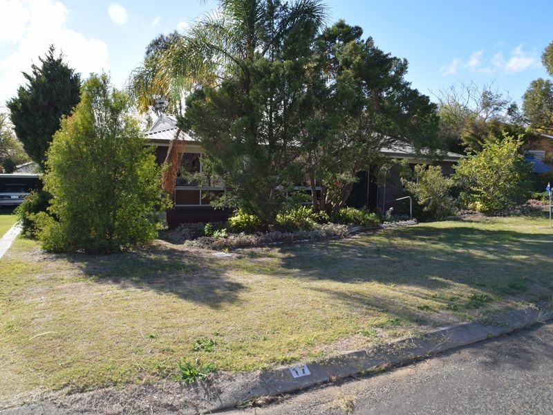
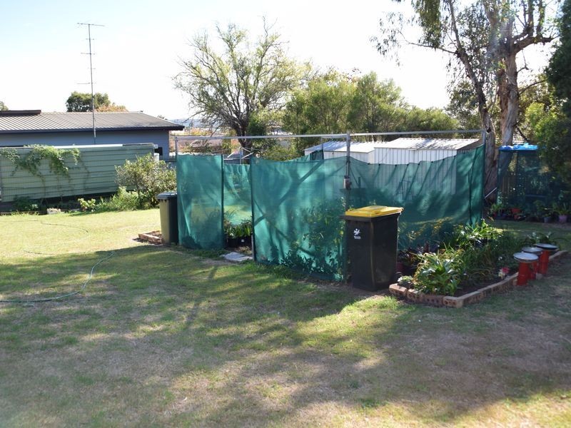
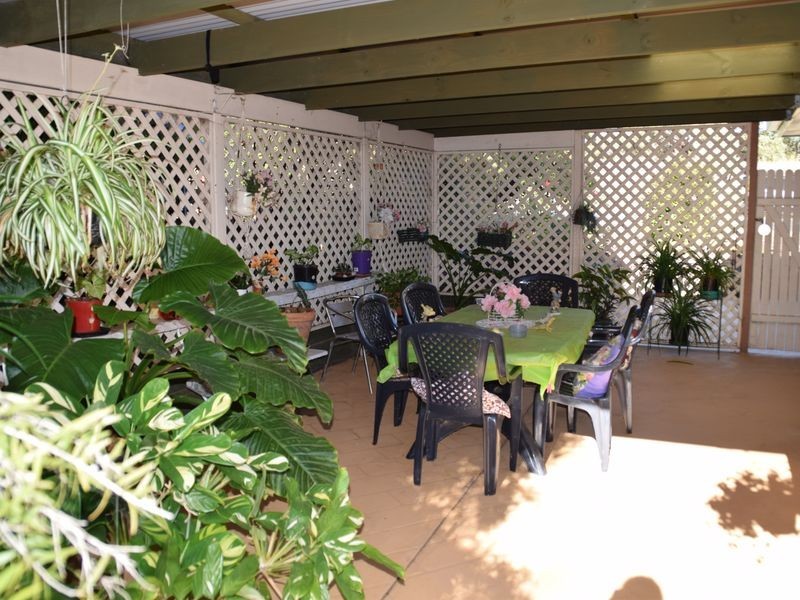
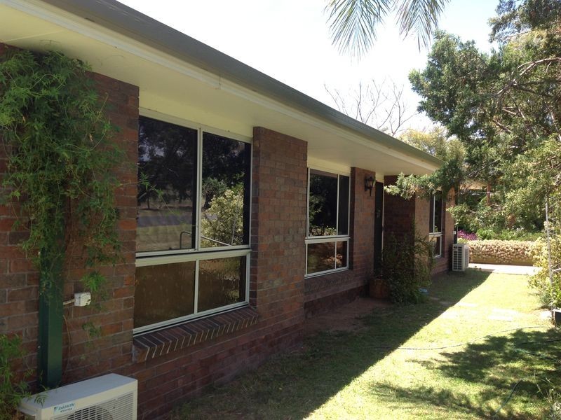
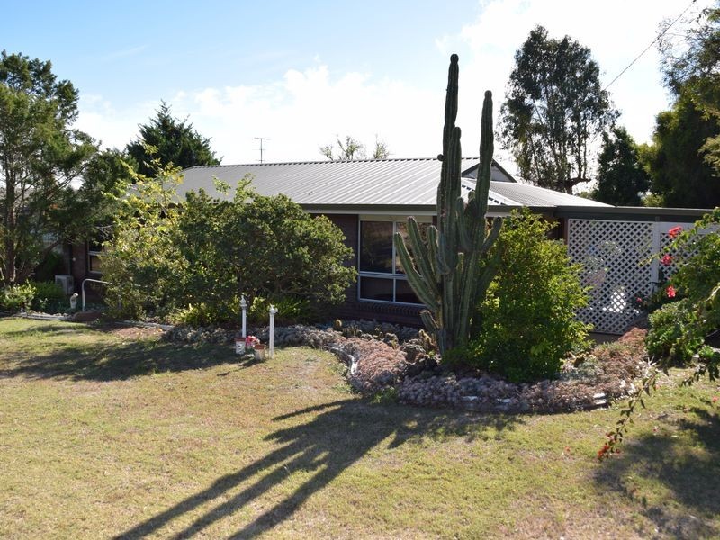
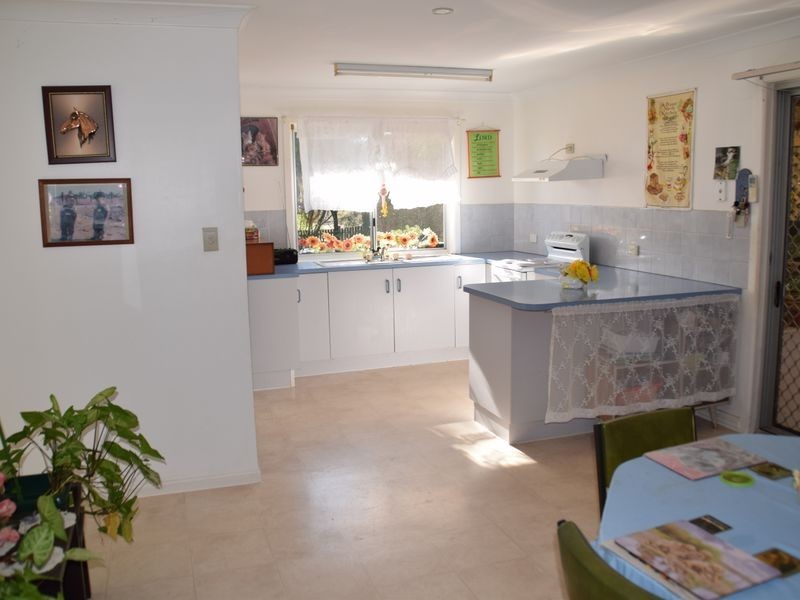
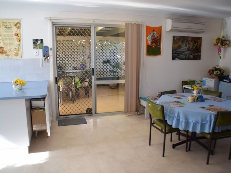
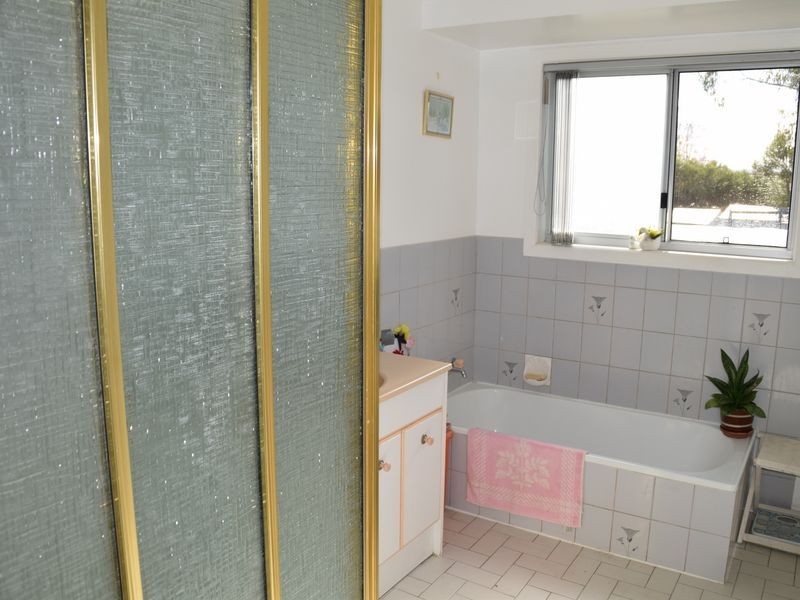
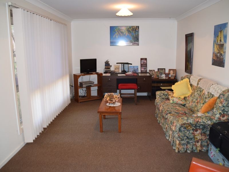
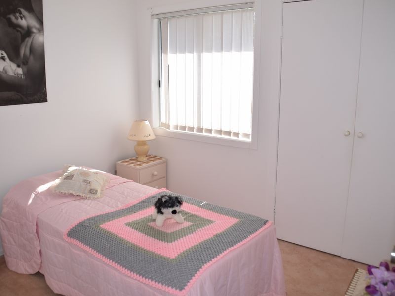
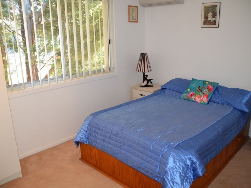
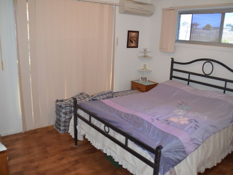
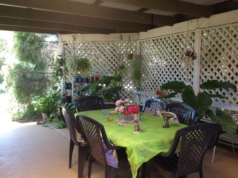
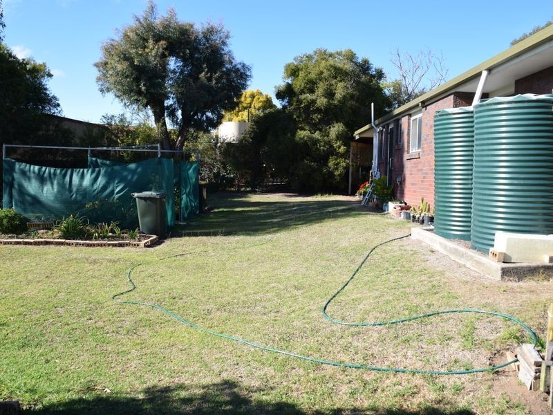
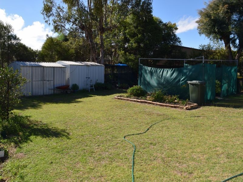
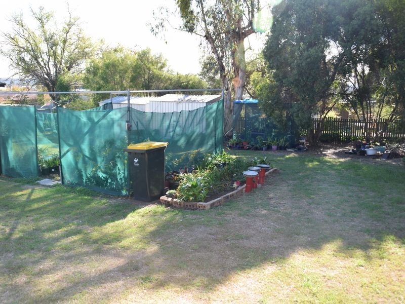
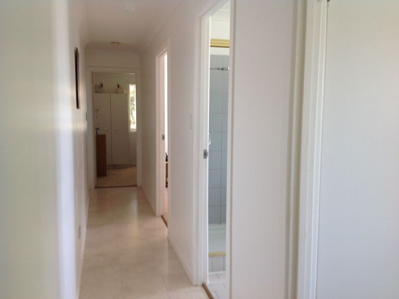
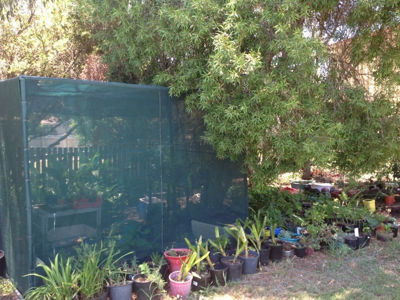
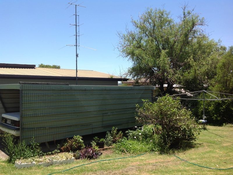
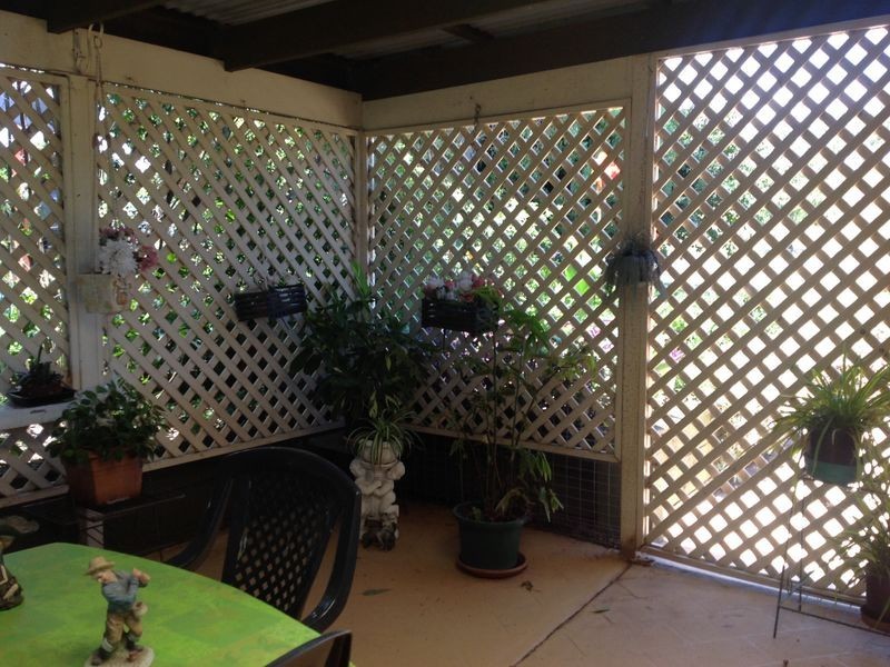
There are approximately 17,238 people living in Warwick but… who are they?
40
48%
52%
Suburb Stats
$884/WK
$215/WK
$325/WK
Value of property in Warwick and nearby suburbs
Warwick
Upper Yarraman
Pilton
Roma
Average Home Price$314,784Average Rental Price$252Household Size2.5
Average Home Price$255,000Average Rental Price$239Household Size2.3
Average Home Price$275,000Average Rental Price$0Household Size2.4
Average Home Price$369,082Average Rental Price$382Household Size2.6
Water Useper year per person
0.62mln. litres
State Average 0.68 mln. litres
Nat. Average 0.74 mln. litres
Greenhouse Pollutionper year per person
17.3tonnes
State Average 18.38 tonnes
Nat. Average 20.3 tonnes
Dwelling Types
91%
6%
2%
Most Common Suburb Professions
16% Labourers…
14% Technicia…
13% Managers…
12% Clerical…
Nearby shopping: rose city shopping world centre management, village shopping centre
Nearby schools: agnew school, warwick state high school, killarney school of dance, aikido aiki kai warwick - southern queensland
Nearby cafes: brysons place, char-belas restaurant, the cherry tree coffee & dining
Nearby doctors: southern downs dental - dr. mike geisel, condamine medical centre - dr aleta slattery, condamine medical centre-dr lynton hudson, guy street dental
Nearby hospitals: condamine medical centre, southern downs district health services
Nearby cinemas: warwick twin cinema
Nearby pharmacies: john duggan amcal chemist, warwick friendly society pharmacy, warwick friendly society pharmacies, discount drug store
Nearby police stations: warwick police station
Nearby parks: tullock park, leslie park, warwick bowling club inc, kahlers oasis caravan park
Nearby restaurants: warwick rsl services & citizens memorial club, domino's pizza warwick, the cherry tree coffee & dining, brysons place