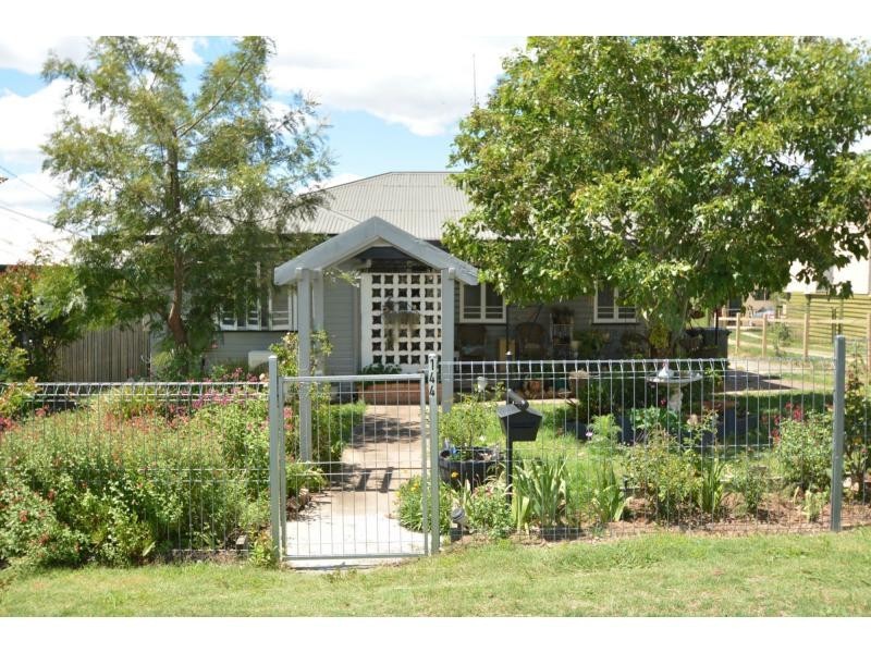
There are approximately 17,238 people living in Warwick but… who are they?
40
48%
52%
Suburb Stats
$884/WK
$215/WK
$325/WK
Value of property in Warwick and nearby suburbs
Warwick
Killarney
Westmar
Stockleigh
Average Home Price$314,784Average Rental Price$252Household Size2.5
Average Home Price$269,514Average Rental Price$234Household Size2.4
Average Home Price$0Average Rental Price$0Household Size2.4
Average Home Price$567,645Average Rental Price$422Household Size3.2
Water Useper year per person
0.62mln. litres
State Average 0.68 mln. litres
Nat. Average 0.74 mln. litres
Greenhouse Pollutionper year per person
17.3tonnes
State Average 18.38 tonnes
Nat. Average 20.3 tonnes
Dwelling Types
91%
6%
2%
Most Common Suburb Professions
16% Labourers…
14% Technicia…
13% Managers…
12% Clerical…
Nearby shopping: village shopping centre, rose city shopping world centre management
Nearby schools: warwick state high school, a country garden early childhood centres, australian college of phytotherapy pty ltd, st mary's primary school
Nearby cafes: the cherry tree coffee & dining, brysons place, char-belas restaurant
Nearby doctors: condamine medical centre - dr louise clarke, dr sam wong, condamine medical centre - dr evan ackermann, condamine medical centre - dr john kiss
Nearby hospitals: condamine medical centre, southern downs district health services
Nearby cinemas: warwick twin cinema
Nearby pharmacies: warwick friendly society pharmacies, discount drug store, john duggan amcal chemist, warwick friendly society pharmacy
Nearby police stations: warwick police station
Nearby parks: victoria park, tullock park, australiana park, hamilton oval
Nearby restaurants: eagle boys pizza, brysons place, shalimar indian restaurant, mango camping