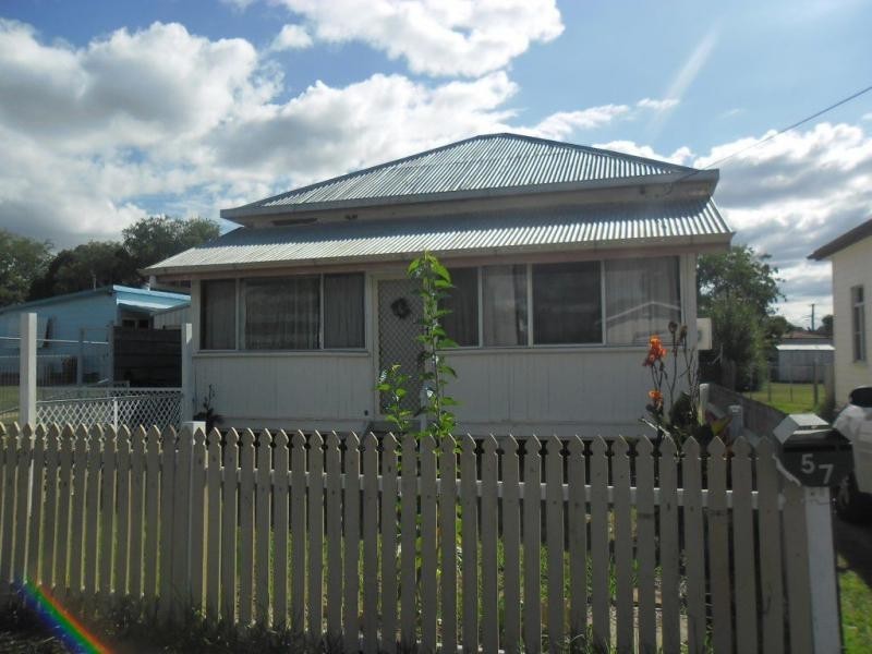
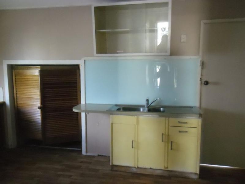
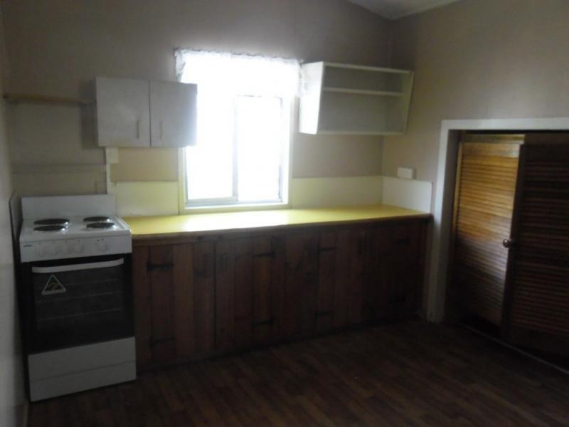
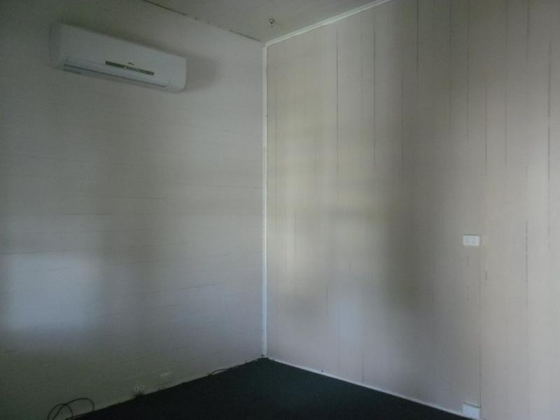
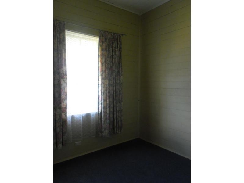
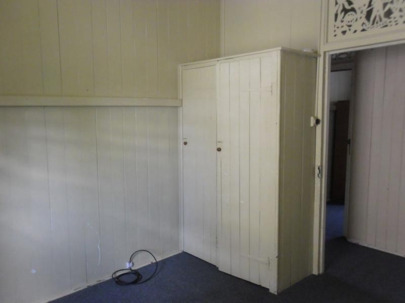
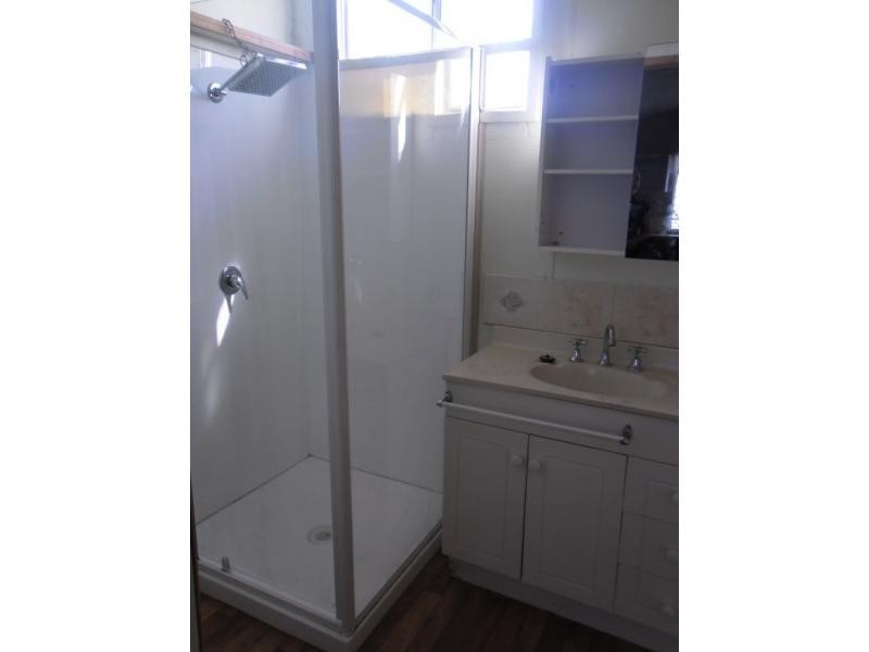
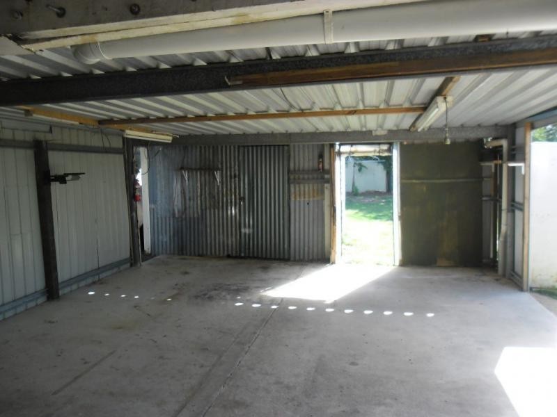
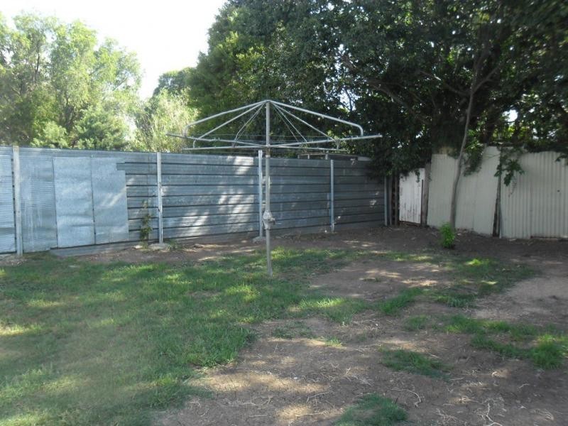
There are approximately 17,238 people living in Warwick but… who are they?
40
48%
52%
Suburb Stats
$884/WK
$215/WK
$325/WK
Value of property in Warwick and nearby suburbs
Warwick
Gungaloon
Killarney
Cedar Vale
Average Home Price$314,784Average Rental Price$252Household Size2.5
Average Home Price$199,000Average Rental Price$0Household Size2.4
Average Home Price$269,514Average Rental Price$233Household Size2.4
Average Home Price$473,627Average Rental Price$430Household Size2.8
Water Useper year per person
0.62mln. litres
State Average 0.68 mln. litres
Nat. Average 0.74 mln. litres
Greenhouse Pollutionper year per person
17.3tonnes
State Average 18.38 tonnes
Nat. Average 20.3 tonnes
Dwelling Types
91%
6%
2%
Most Common Suburb Professions
16% Labourers…
14% Technicia…
13% Managers…
12% Clerical…
Nearby shopping: village shopping centre, rose city shopping world centre management
Nearby schools: aikido aiki kai warwick - southern queensland, st mary's primary school, glennie heights preschool, australian college of phytotherapy pty ltd
Nearby cafes: the cherry tree coffee & dining, char-belas restaurant, brysons place
Nearby doctors: condamine medical centre - dr aleta slattery, friendly feet podiatry, condamine medical centre - dr evan ackermann, dr toby cohen
Nearby hospitals: southern downs district health services, condamine medical centre
Nearby cinemas: warwick twin cinema
Nearby pharmacies: warwick friendly society pharmacy, john duggan amcal chemist, discount drug store, warwick friendly society pharmacies
Nearby police stations: warwick police station
Nearby parks: australiana park, leslie park, hamilton oval, tullock park
Nearby restaurants: mango camping, shalimar indian restaurant, palms on palmerin, brysons place