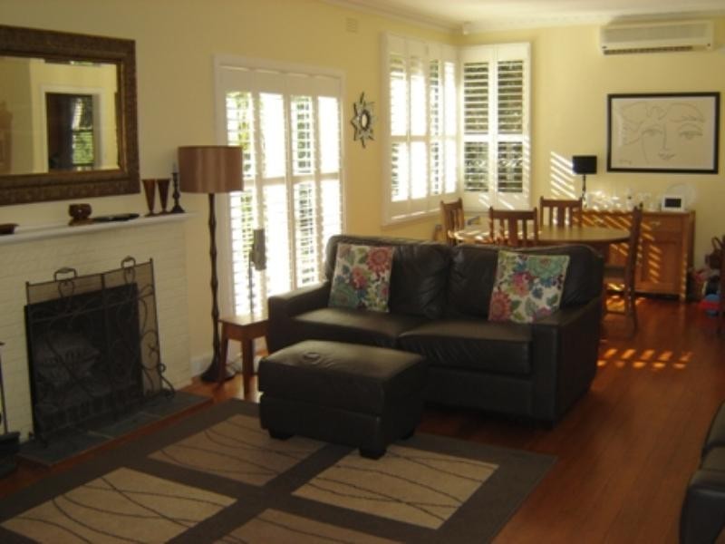
There are approximately 30,408 people living in Blackburn but… who are they?
40
48%
52%
Suburb Stats
$1387/WK
$323/WK
$497/WK
Value of property in Blackburn and nearby suburbs
Blackburn
Burwood East
Malvern East
Murrumbeena
Average Home Price$851,214Average Rental Price$396Household Size2.6
Average Home Price$718,895Average Rental Price$388Household Size2.7
Average Home Price$711,890Average Rental Price$418Household Size2.6
Average Home Price$700,579Average Rental Price$381Household Size2.3
Water Useper year per person
0.84mln. litres
State Average 0.75 mln. litres
Nat. Average 0.74 mln. litres
Greenhouse Pollutionper year per person
21.35tonnes
State Average 19.73 tonnes
Nat. Average 20.3 tonnes
Dwelling Types
90%
9%
0%
Most Common Suburb Professions
32% Professio…
15% Clerical…
14% Managers…
11% Technicia…
Nearby train station: blackburn railway station
Nearby schools: blackburn high school, goodstart early learning, melbourne guild of fine woodworking, the urban fitness club
Nearby cafes: ny bagels pty ltd, bean & baker, the pancake parlour
Nearby doctors: bounce health group, dr james davies dental surgery, dental care today, toothpals dental care
Nearby hospitals: australian skin cancer group, forest hill specialists centre, forest hill family health centre, colbrow medics (inc. first aid @ events)
Nearby cinemas: hoyts forest hill
Nearby pharmacies: blackburn north chemmart pharmacy, nunawading pharmacy, blackburn central pharmacy, priceline pharmacy forest hill
Nearby parks: koonung reserve, justina street reserve, springfield park, ashlar crescent reserve