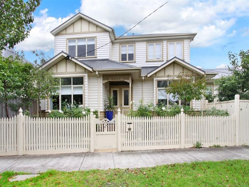
There are approximately 29,553 people living in Carnegie but… who are they?
34
49%
51%
Suburb Stats
$1287/WK
$300/WK
$500/WK
Value of property in Carnegie and nearby suburbs
Carnegie
Toorak
Hughesdale
Burwood East
Average Home Price$584,297Average Rental Price$384Household Size2.3
Average Home Price$932,789Average Rental Price$518Household Size2.2
Average Home Price$671,627Average Rental Price$400Household Size2.6
Average Home Price$718,895Average Rental Price$388Household Size2.7
Water Useper year per person
0.91mln. litres
State Average 0.75 mln. litres
Nat. Average 0.74 mln. litres
Greenhouse Pollutionper year per person
24.05tonnes
State Average 19.73 tonnes
Nat. Average 20.3 tonnes
Dwelling Types
58%
41%
1%
Most Common Suburb Professions
33% Professio…
16% Clerical…
13% Managers…
10% Technicia…
Nearby train station: carnegie station
Nearby shopping: caulfield village, scooter hut
Nearby schools: martial mix, australian academy of dance, st. patrick's primary school, murrumbeena primary school
Nearby cafes: the servery east, simba'r & trends hair & beauty, cafe del mar, mamaduke
Nearby doctors: wellness centre medical clinic- dr. goldberg jack, foenander c o, glenhuntly dental clinic, carnegie dental care - dr.hunter fiona
Nearby hospitals: carnegie medical centre, carnegie & malvern medical centre, carnegie children's multi-purpose centre, carnegie central medical clinic
Nearby cinemas: malvern theatre co.
Nearby pharmacies: community pharmacy glen huntly, my chemist murrumbeena, galatis amcal pharmacy, pharmasave carnegie pharmacy
Nearby police stations: murrumbeena police station
Nearby parks: ardrie park, garden avenue reserve, e caulfield recreation reserve, outer circle linear park