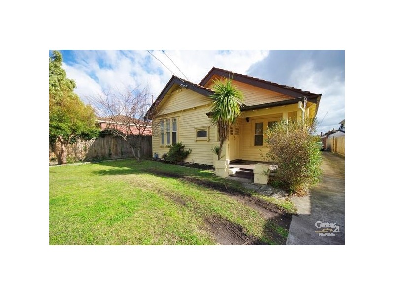
There are approximately 29,553 people living in Carnegie but… who are they?
34
49%
51%
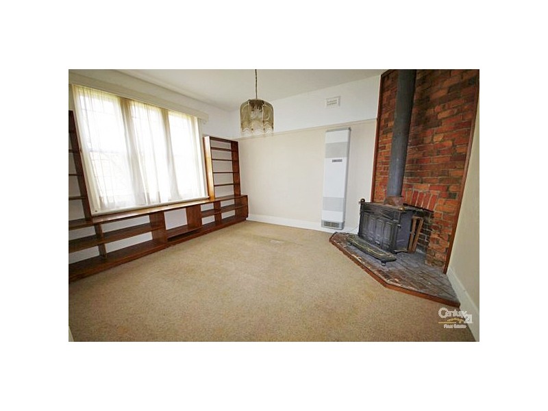
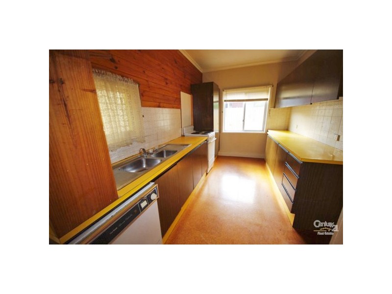
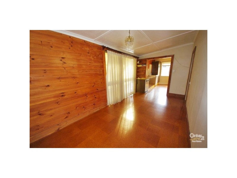
Suburb Stats
$1287/WK
$300/WK
$500/WK
Value of property in Carnegie and nearby suburbs
Carnegie
Glen Iris
Caulfield North
Hughesdale
Average Home Price$584,297Average Rental Price$384Household Size2.3
Average Home Price$901,073Average Rental Price$457Household Size2.6
Average Home Price$797,716Average Rental Price$431Household Size2.5
Average Home Price$671,627Average Rental Price$400Household Size2.6
Water Useper year per person
0.91mln. litres
State Average 0.75 mln. litres
Nat. Average 0.74 mln. litres
Greenhouse Pollutionper year per person
24.05tonnes
State Average 19.73 tonnes
Nat. Average 20.3 tonnes
Dwelling Types
58%
41%
1%
Most Common Suburb Professions
33% Professio…
16% Clerical…
13% Managers…
10% Technicia…
Nearby train station: carnegie station
Nearby shopping: caulfield village, scooter hut
Nearby schools: st mary's catholic primary school, st. patrick's primary school, martial mix, holy eucharist primary school
Nearby cafes: simba'r & trends hair & beauty, the servery east, mamaduke, cafe del mar
Nearby doctors: carnegie central medical clinic, chadstone road clinic, dr.jill sayers, eyedentity carnegie
Nearby hospitals: carnegie & malvern medical centre, carnegie children's multi-purpose centre, melbourne equine veterinary group, carnegie medical centre
Nearby cinemas: malvern theatre co.
Nearby pharmacies: amcal glen huntly pharmacy, david jones pharmacy, caulfield plaza pharmacy, hurstbridge pharmacy
Nearby police stations: murrumbeena police station
Nearby parks: villers square, riley reserve, boyd park, urban forest