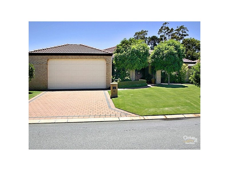
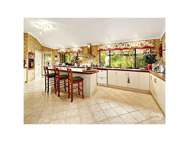
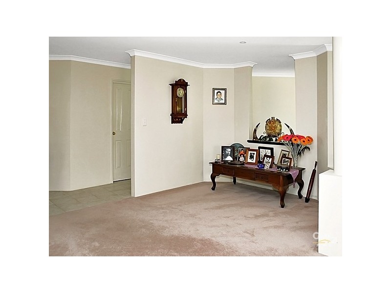
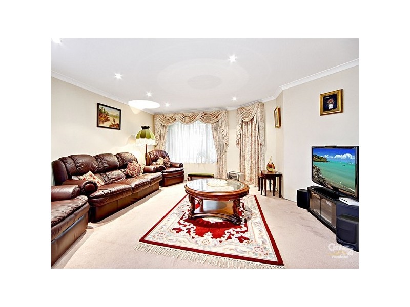
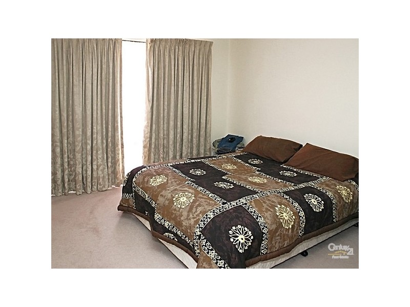
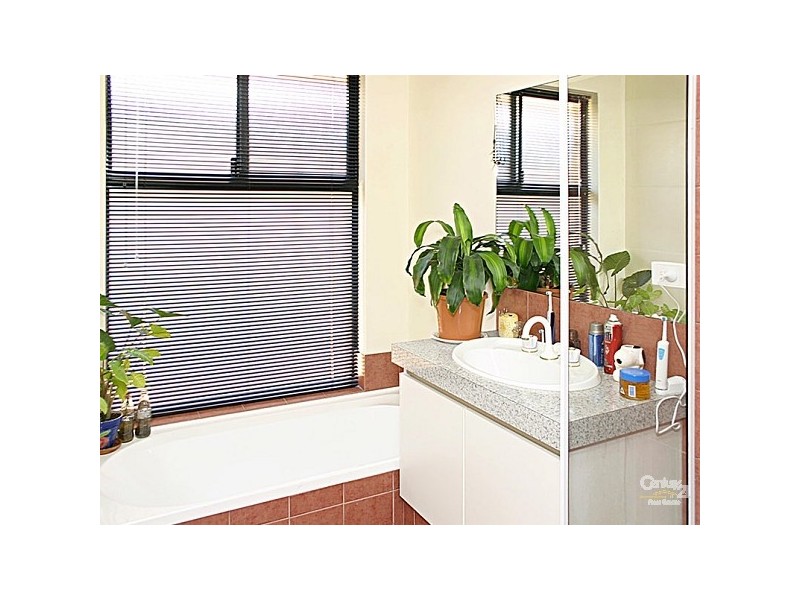
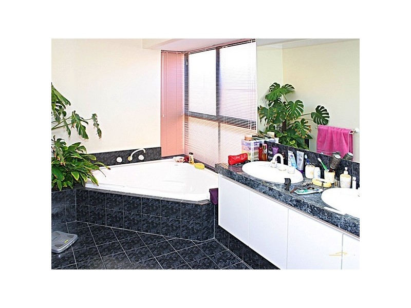
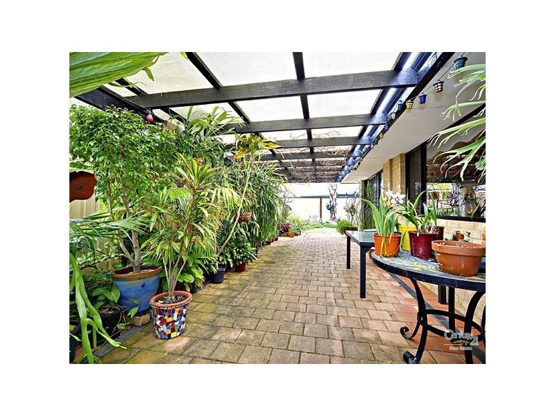
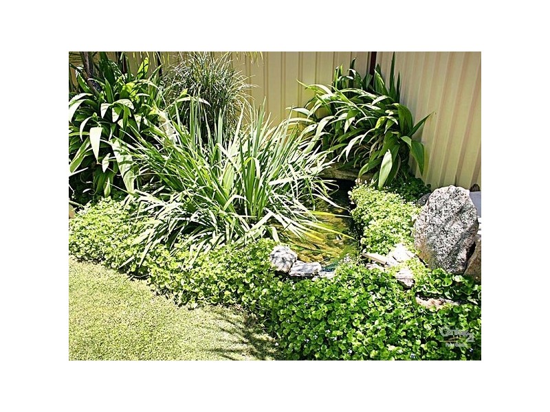
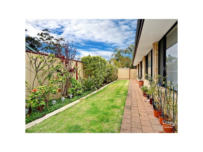
There are approximately 11,812 people living in Forrestfield but… who are they?
37
49%
51%
Suburb Stats
$1304/WK
$320/WK
$461/WK
Value of property in Forrestfield and nearby suburbs
Forrestfield
Bedfordale
Walliston
Kalamunda
Average Home Price$442,380Average Rental Price$373Household Size2.5
Average Home Price$1,072,478Average Rental Price$515Household Size2.7
Average Home Price$581,850Average Rental Price$432Household Size2.7
Average Home Price$657,522Average Rental Price$417Household Size2.7
Water Useper year per person
0.73mln. litres
State Average 0.72 mln. litres
Nat. Average 0.74 mln. litres
Greenhouse Pollutionper year per person
17.7tonnes
State Average 18 tonnes
Nat. Average 20.3 tonnes
Dwelling Types
97%
1%
3%
Most Common Suburb Professions
19% Technicia…
18% Clerical…
13% Machinery…
11% Labourers…
Nearby shopping: forrestfield forum & marketplace
Nearby schools: woodlupine primary school, heritage college, ju-jitsu tora kempo kai, forrestfield primary school
Nearby doctors: forrestfield dental clinic - dr. west russell t, mead medical group, st john of god pathology, dentalcare of forrestfield - dr hilton gregory c
Nearby hospitals: forrestfield child health centre, mead medical group
Nearby police stations: forresfield police station
Nearby parks: dawson park, juniper way reserve, cutting edge kerbs, discovery holiday parks - perth
Nearby restaurants: lenard's chicken forrestfield forum & marketplace, kfc, the well caterers, gee's pizza
Nearby gym: jetts forestfield
Nearby mechanic: flash industrial mobile unit, m'mates place, automasters forrestfield, forrestfield automotive
Nearby bar: hale road tavern, bottlemart - forrestfield tavern, freshia noodles & sushi bar