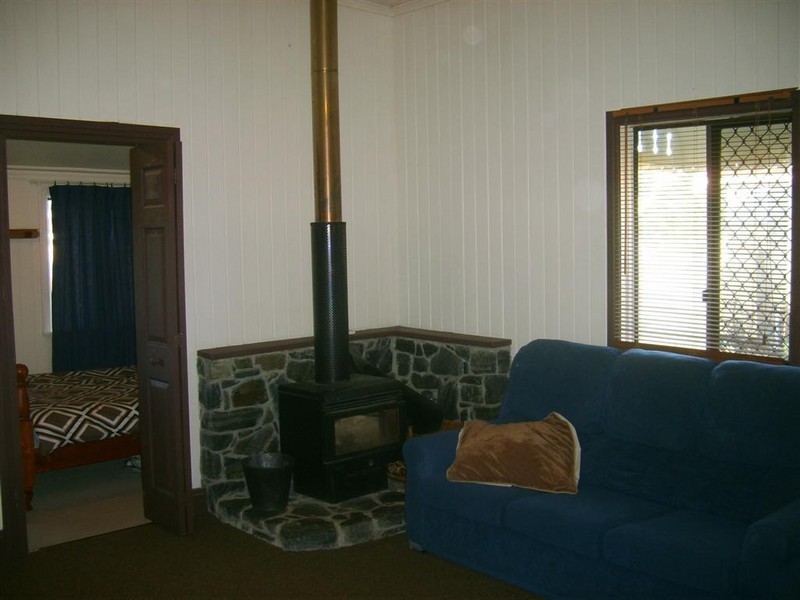
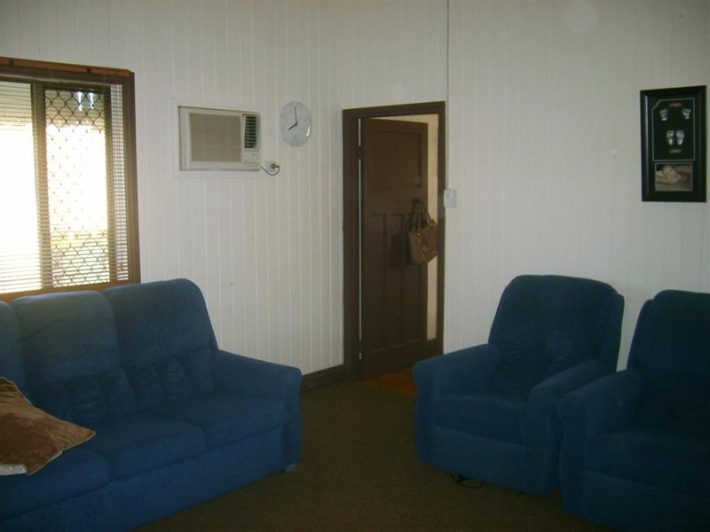
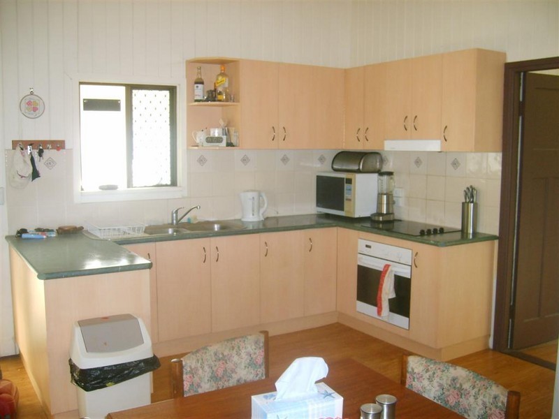
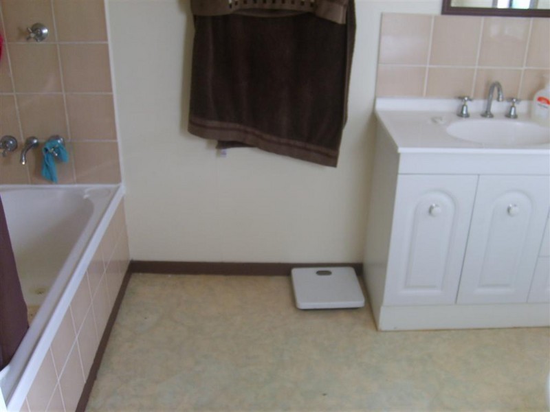
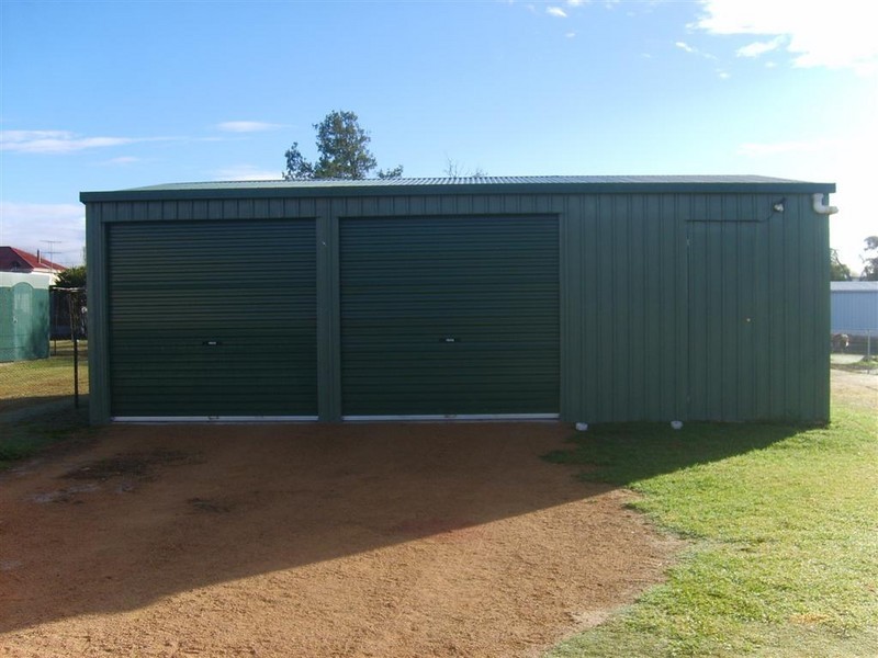
There are approximately 17,238 people living in Warwick but… who are they?
40
48%
52%
Suburb Stats
$884/WK
$215/WK
$325/WK
Value of property in Warwick and nearby suburbs
Warwick
Hazeldean
Westmar
Stockleigh
Average Home Price$314,784Average Rental Price$252Household Size2.5
Average Home Price$505,857Average Rental Price$461Household Size2.5
Average Home Price$0Average Rental Price$0Household Size2.4
Average Home Price$567,645Average Rental Price$422Household Size3.2
Water Useper year per person
0.62mln. litres
State Average 0.68 mln. litres
Nat. Average 0.74 mln. litres
Greenhouse Pollutionper year per person
17.3tonnes
State Average 18.38 tonnes
Nat. Average 20.3 tonnes
Dwelling Types
91%
6%
2%
Most Common Suburb Professions
16% Labourers…
14% Technicia…
13% Managers…
12% Clerical…
Nearby shopping: village shopping centre, rose city shopping world centre management
Nearby schools: agnew school, glennie heights state school, a country garden early childhood centres, warwick christian college
Nearby cafes: char-belas restaurant, the cherry tree coffee & dining, brysons place
Nearby doctors: dr sam wong, condamine medical centre - dr john kiss, condamine medical centre-dr lynton hudson, condamine medical centre - dr evan ackermann
Nearby hospitals: condamine medical centre, southern downs district health services
Nearby cinemas: warwick twin cinema
Nearby pharmacies: warwick friendly society pharmacy, john duggan amcal chemist, warwick friendly society pharmacies, discount drug store
Nearby police stations: warwick police station
Nearby parks: kahlers oasis caravan park, tullock park, warwick bowling club inc, victoria park
Nearby restaurants: kfc warwick, mussel's restaurant, eagle boys pizza, shalimar indian restaurant