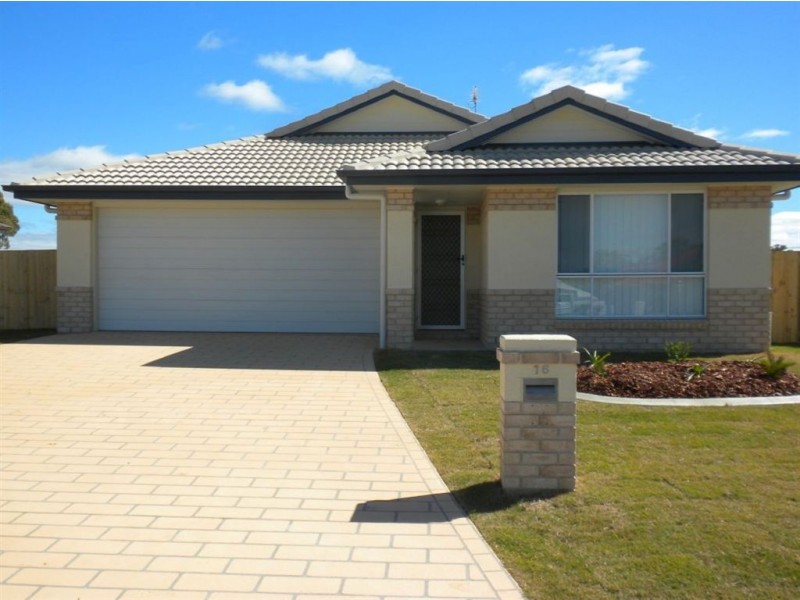
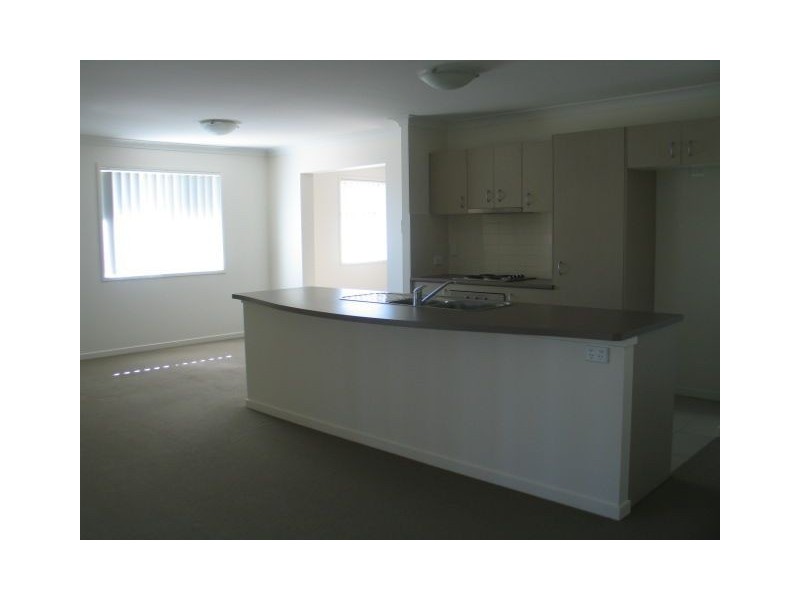
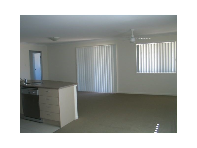
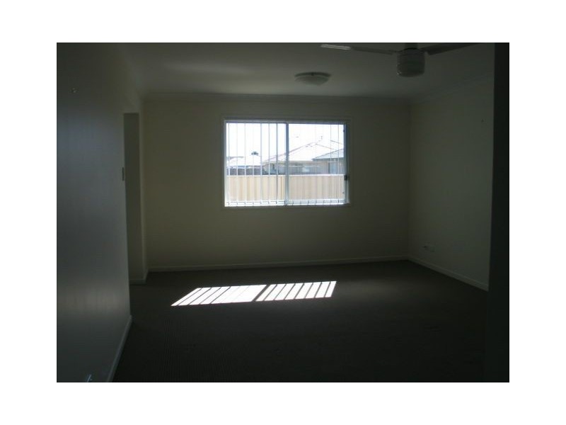
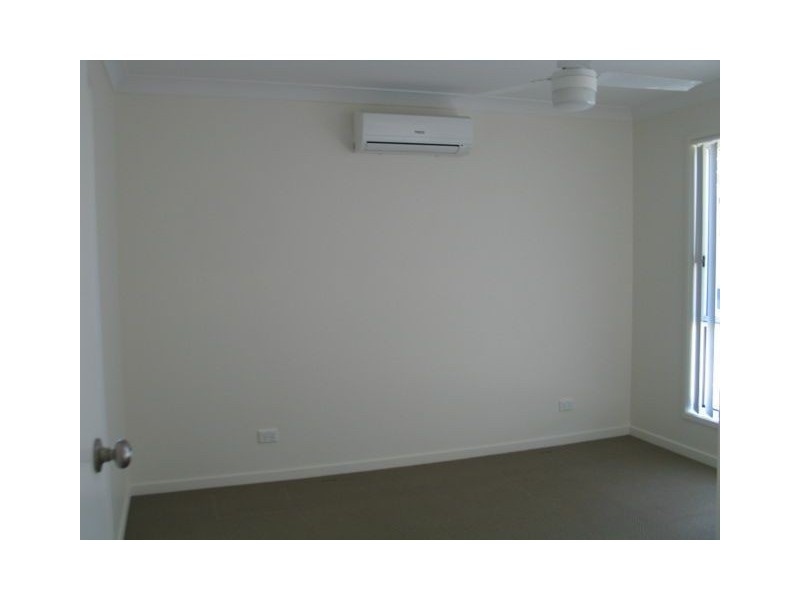
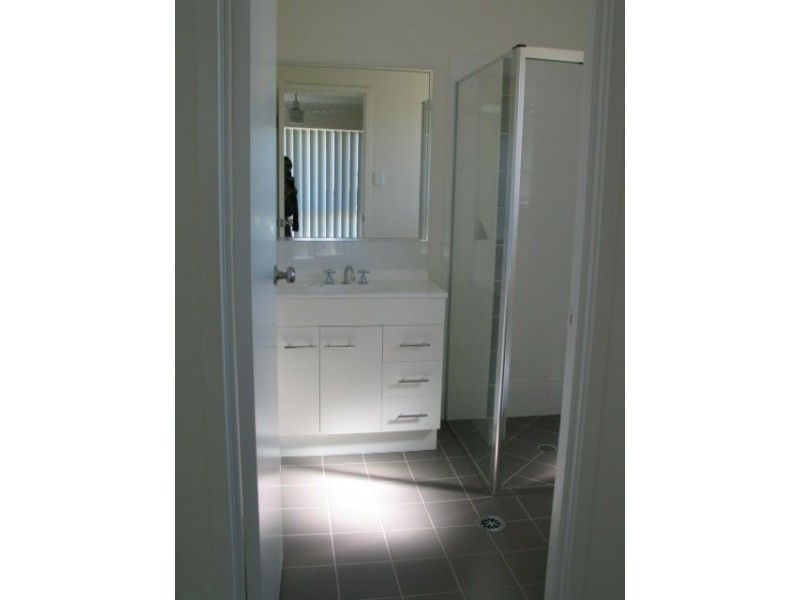
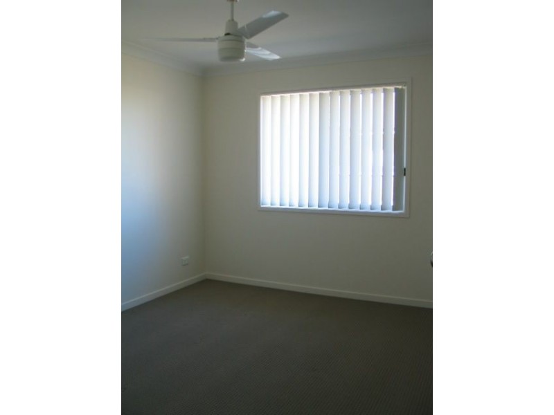
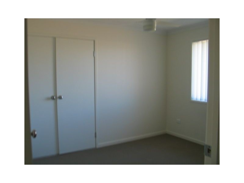
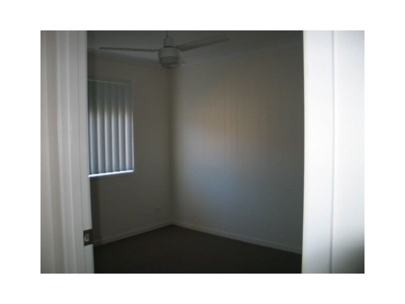
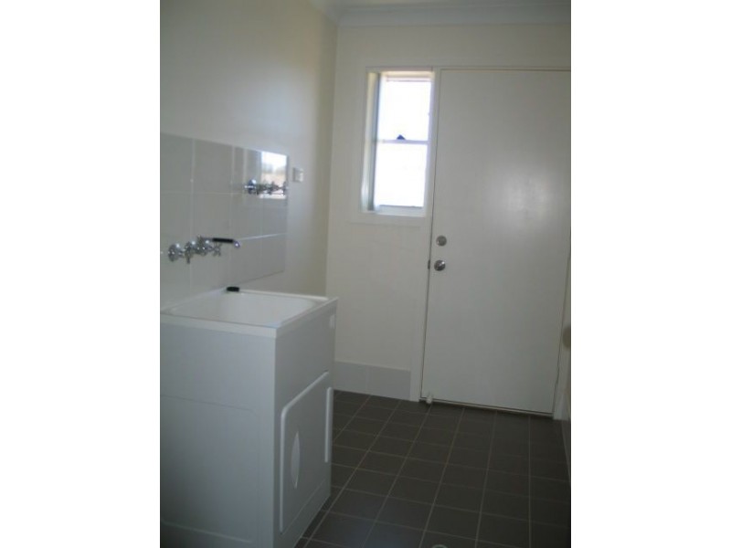
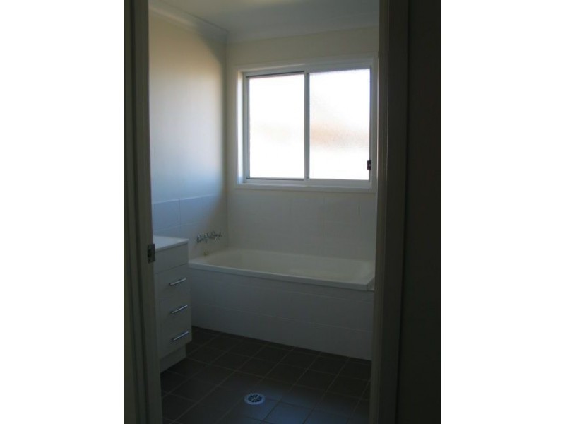
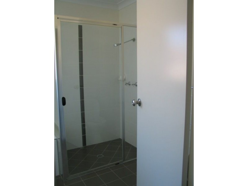
There are approximately 17,238 people living in Warwick but… who are they?
40
48%
52%
Suburb Stats
$884/WK
$215/WK
$325/WK
Value of property in Warwick and nearby suburbs
Warwick
Booroobin
Biggenden
Cedar Vale
Average Home Price$314,784Average Rental Price$252Household Size2.5
Average Home Price$1,105,833Average Rental Price$335Household Size2.3
Average Home Price$239,614Average Rental Price$223Household Size2.2
Average Home Price$473,627Average Rental Price$430Household Size2.8
Water Useper year per person
0.62mln. litres
State Average 0.68 mln. litres
Nat. Average 0.74 mln. litres
Greenhouse Pollutionper year per person
17.3tonnes
State Average 18.38 tonnes
Nat. Average 20.3 tonnes
Dwelling Types
91%
6%
2%
Most Common Suburb Professions
16% Labourers…
14% Technicia…
13% Managers…
12% Clerical…
Nearby shopping: village shopping centre, rose city shopping world centre management
Nearby schools: st mary's primary school, agnew school, killarney school of dance, warwick community kindergarten
Nearby cafes: char-belas restaurant, the cherry tree coffee & dining, brysons place
Nearby doctors: queensland vascular: dr toby cohen, condamine medical centre - dr louise clarke, granite belt dental, condamine medical centre - dr aleta slattery
Nearby hospitals: southern downs district health services, condamine medical centre
Nearby cinemas: warwick twin cinema
Nearby pharmacies: warwick friendly society pharmacy, warwick friendly society pharmacies, john duggan amcal chemist, discount drug store
Nearby police stations: warwick police station
Nearby parks: leslie park, victoria park, australiana park, kahlers oasis caravan park
Nearby restaurants: mussel's restaurant, palms on palmerin, eagle boys pizza, red rooster warwick rose city foodcourt